 Access by request
B034: Yukarı Görle Settlement
Aphrodisias Regional Survey
2006-05-20
View/

Citation
Christopher Ratté and Peter D. De Staebler (eds.). Aphrodisias V. The Aphrodisias Regional Survey (Verlag Philipp von Zabern: Darmstadt/Mainz, 2012). <http://hdl.handle.net/2027.42/92550>
Other Identifiers
B034
Subjects
Settlements 4: Roman 6: Byzantine 5: Late Roman 3: Hellenistic
Description
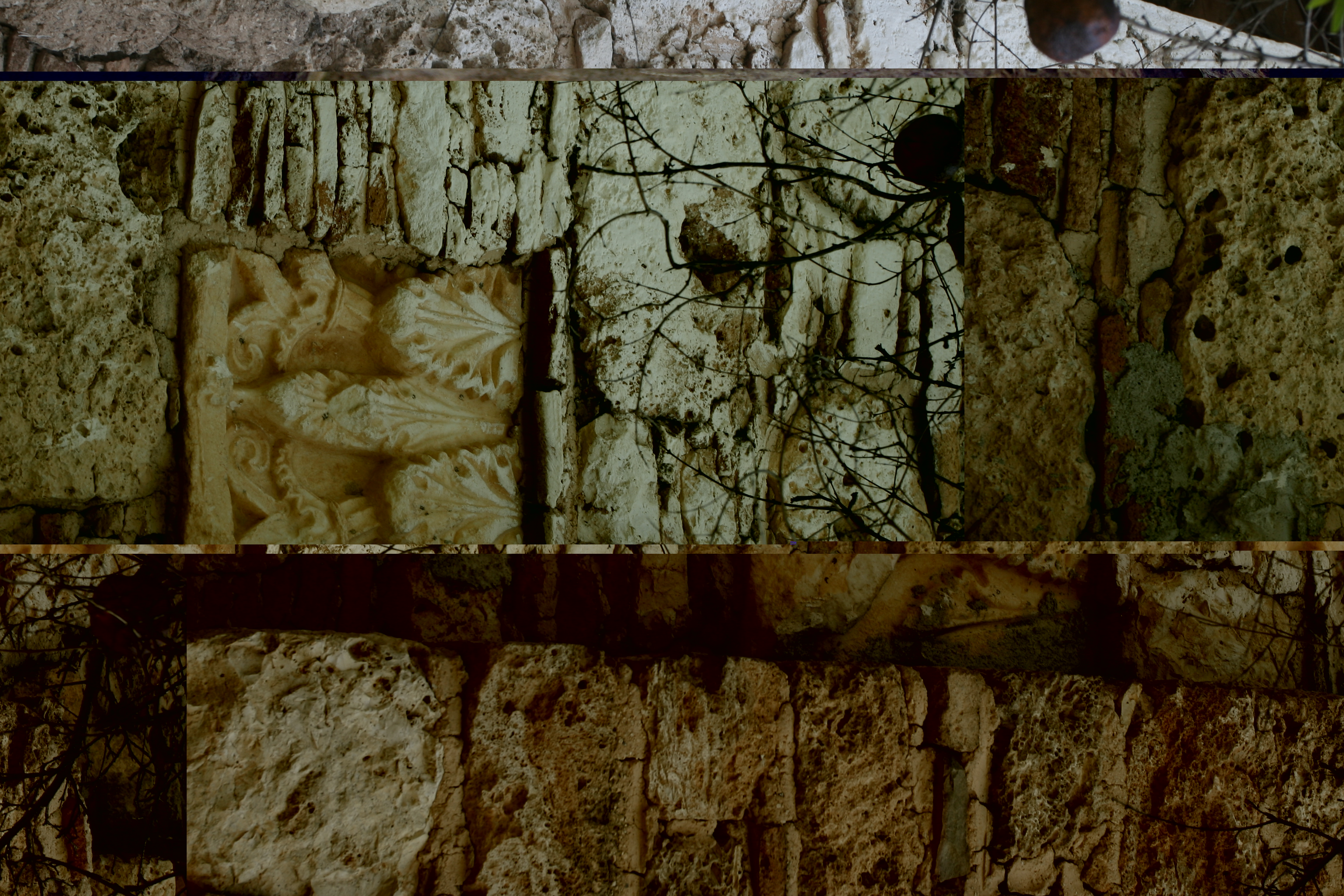
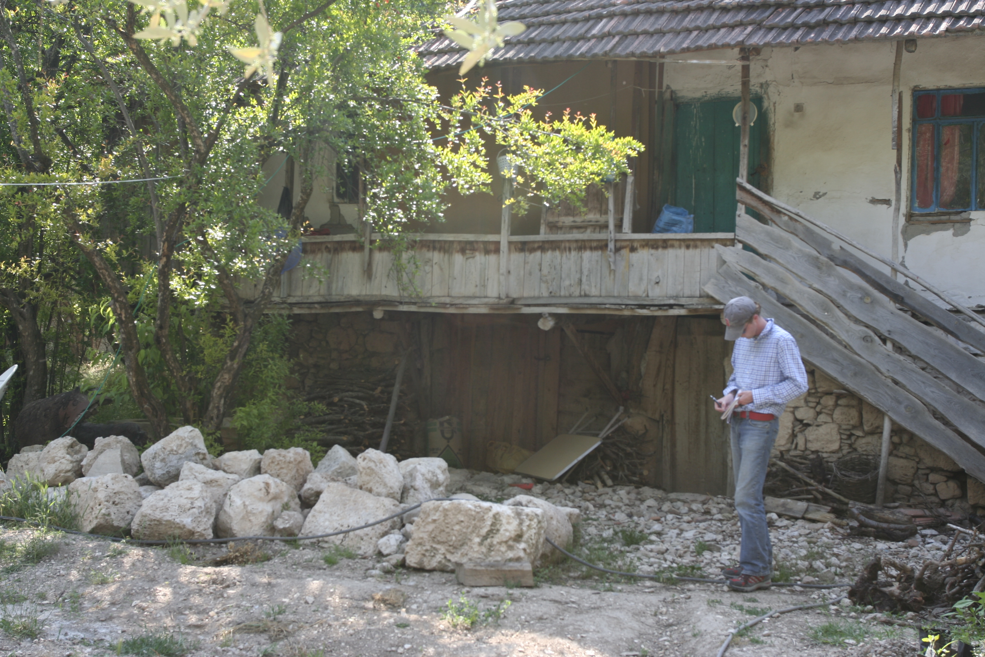
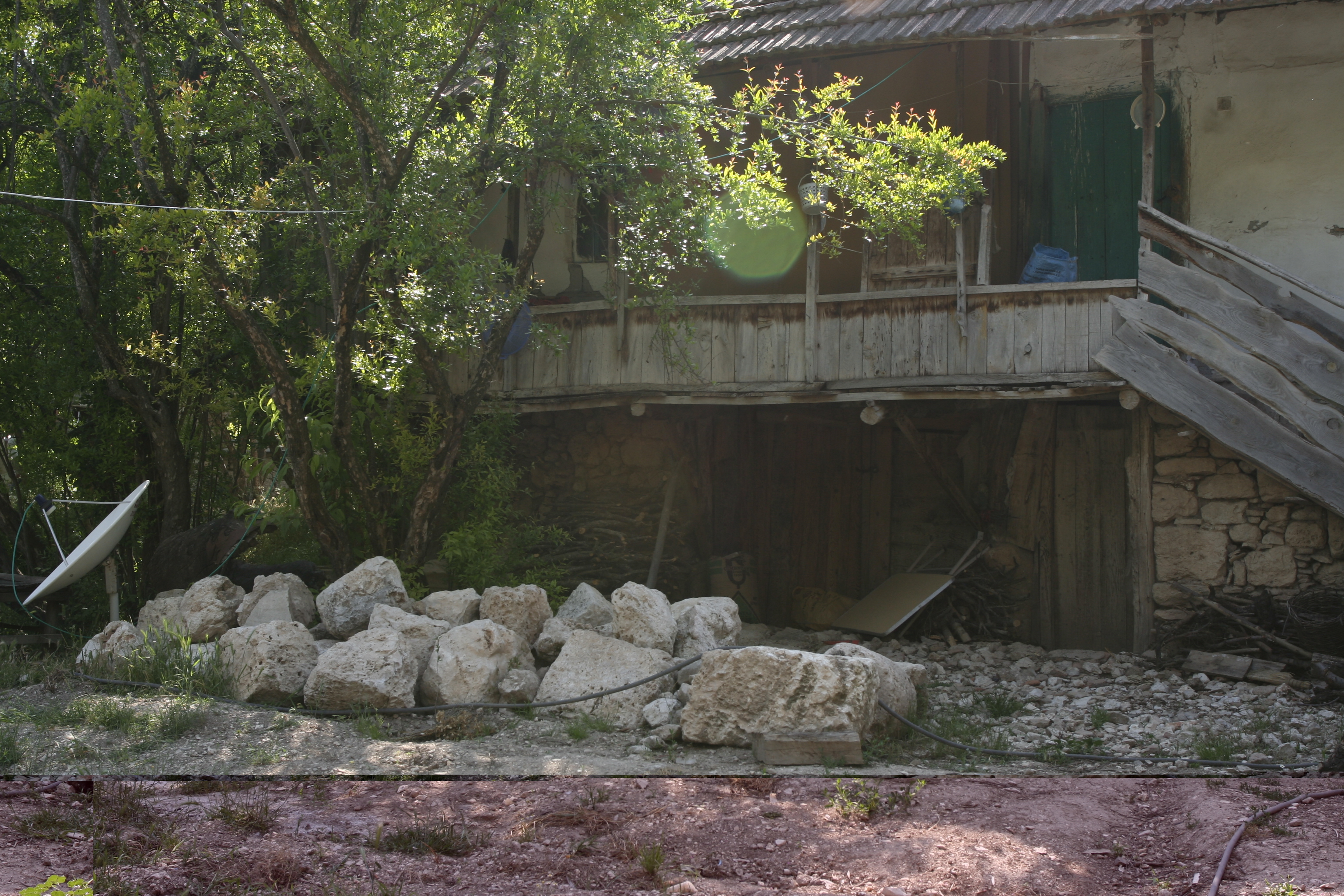
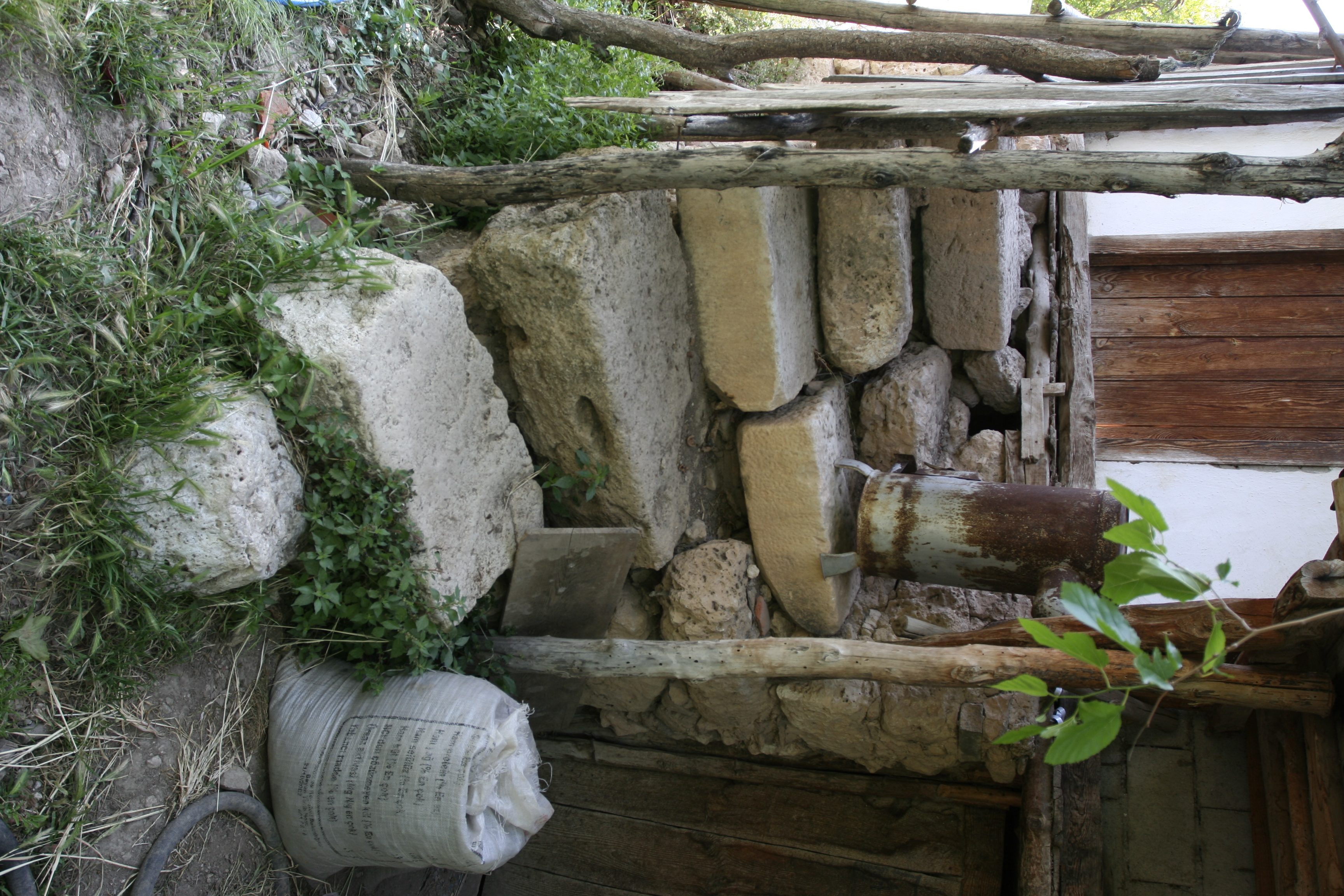
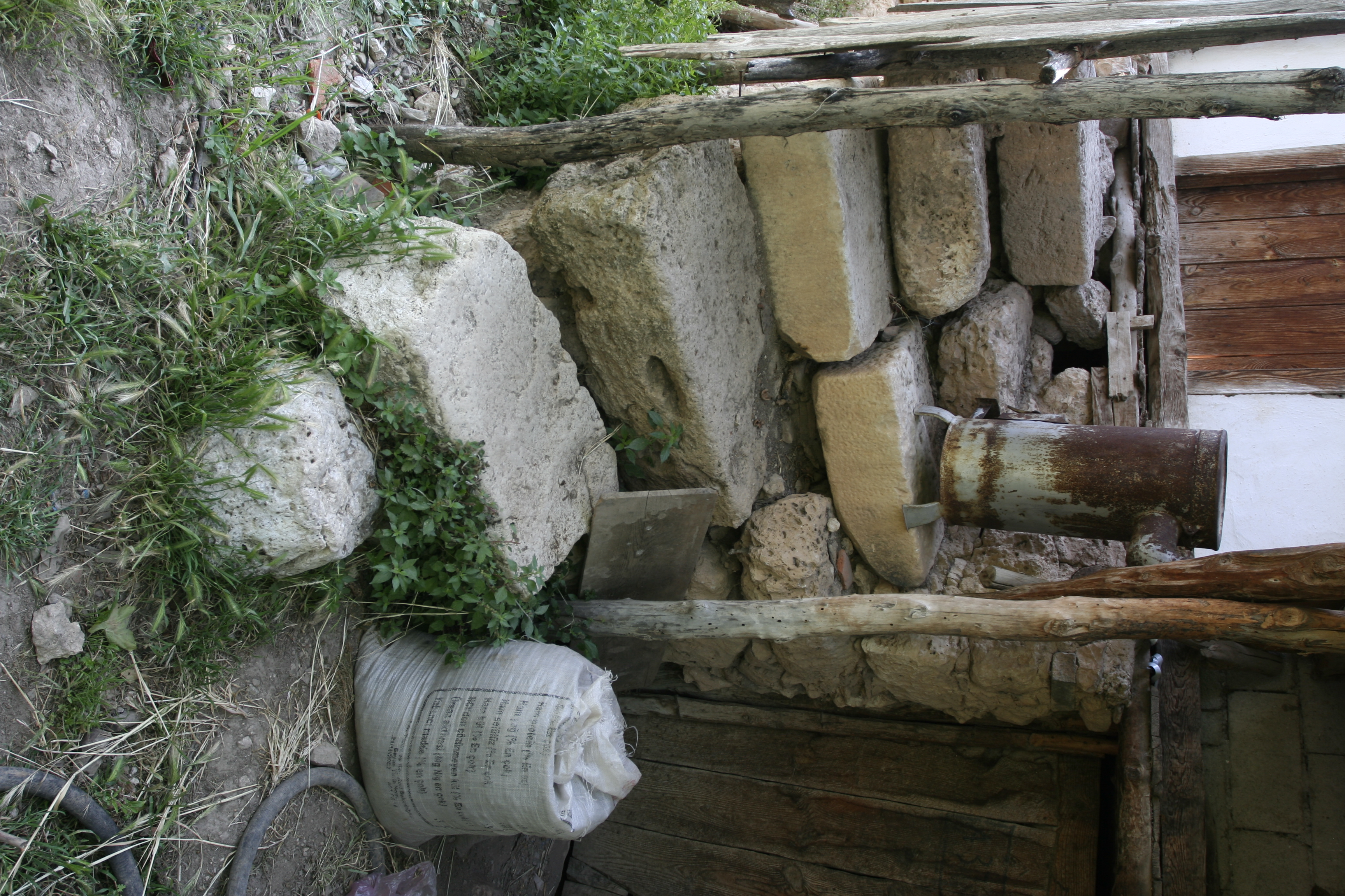
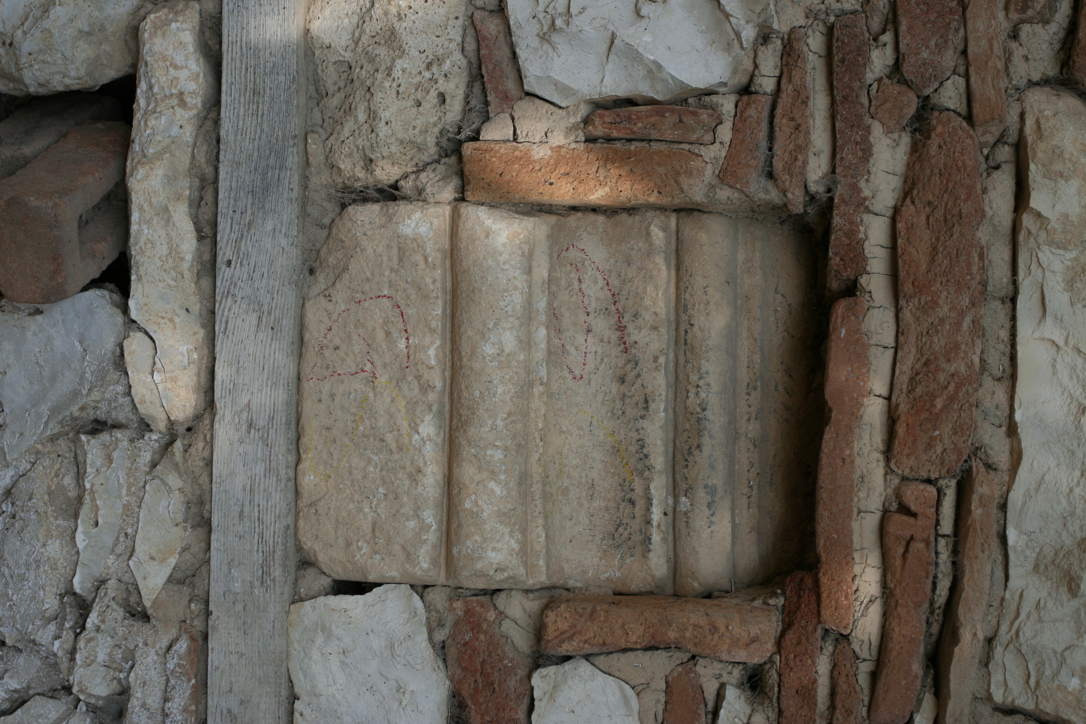
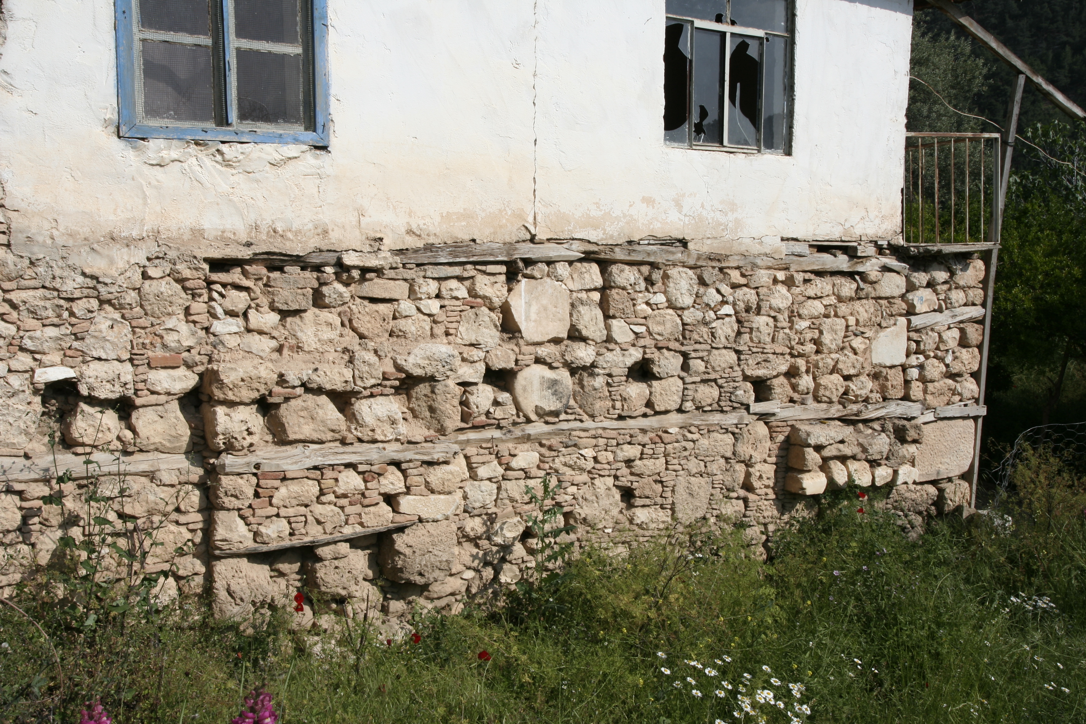
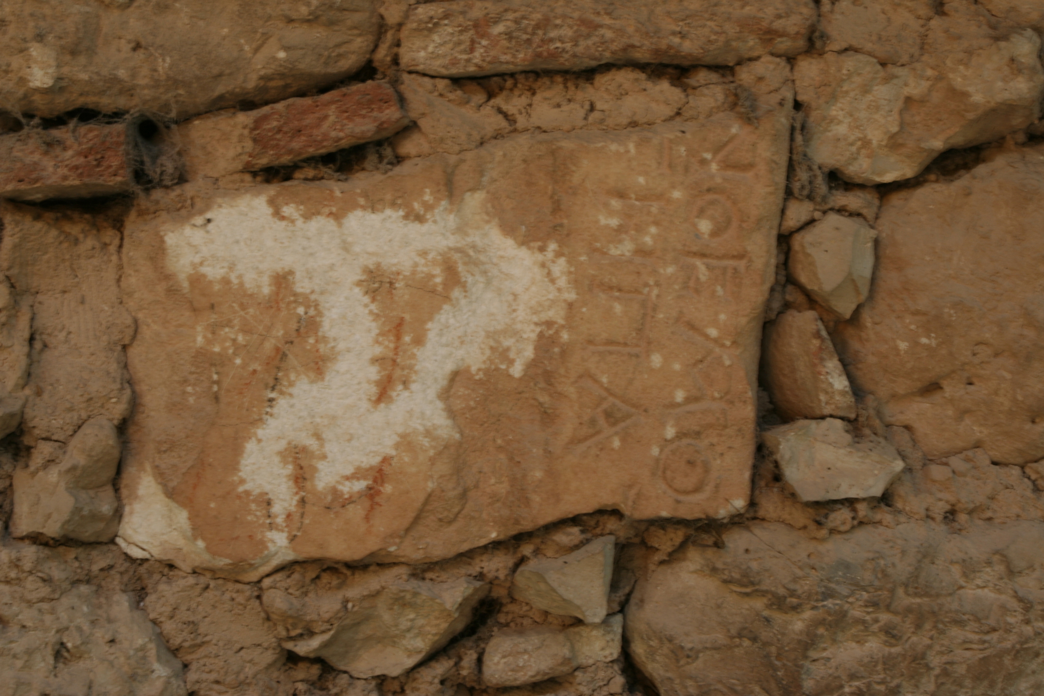
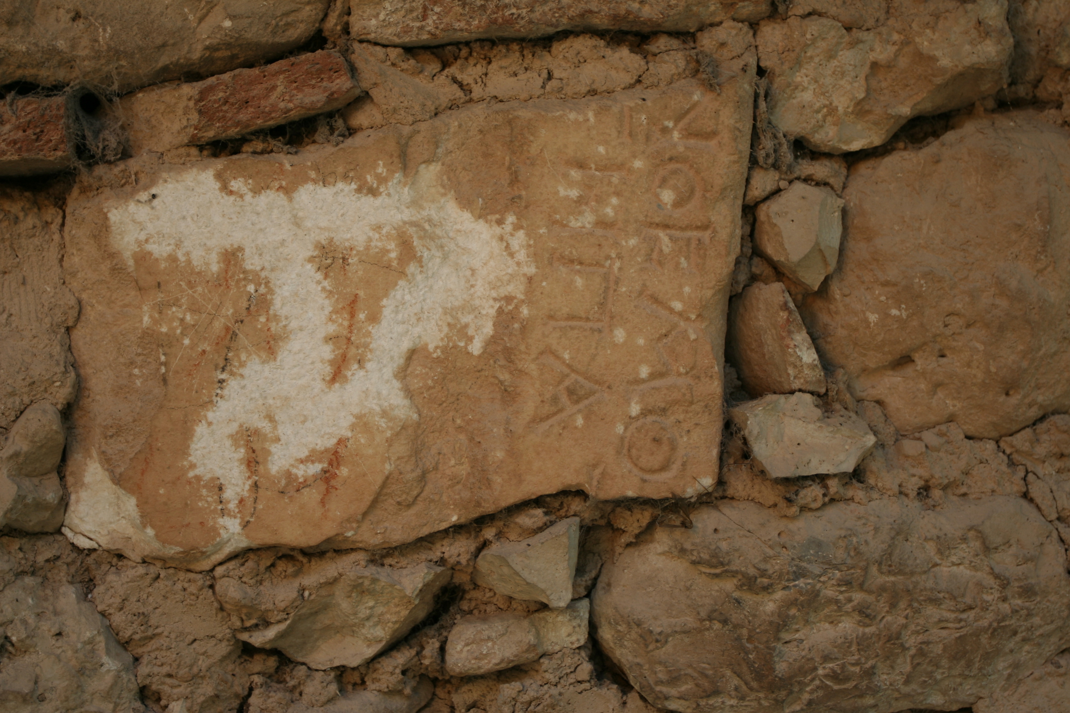
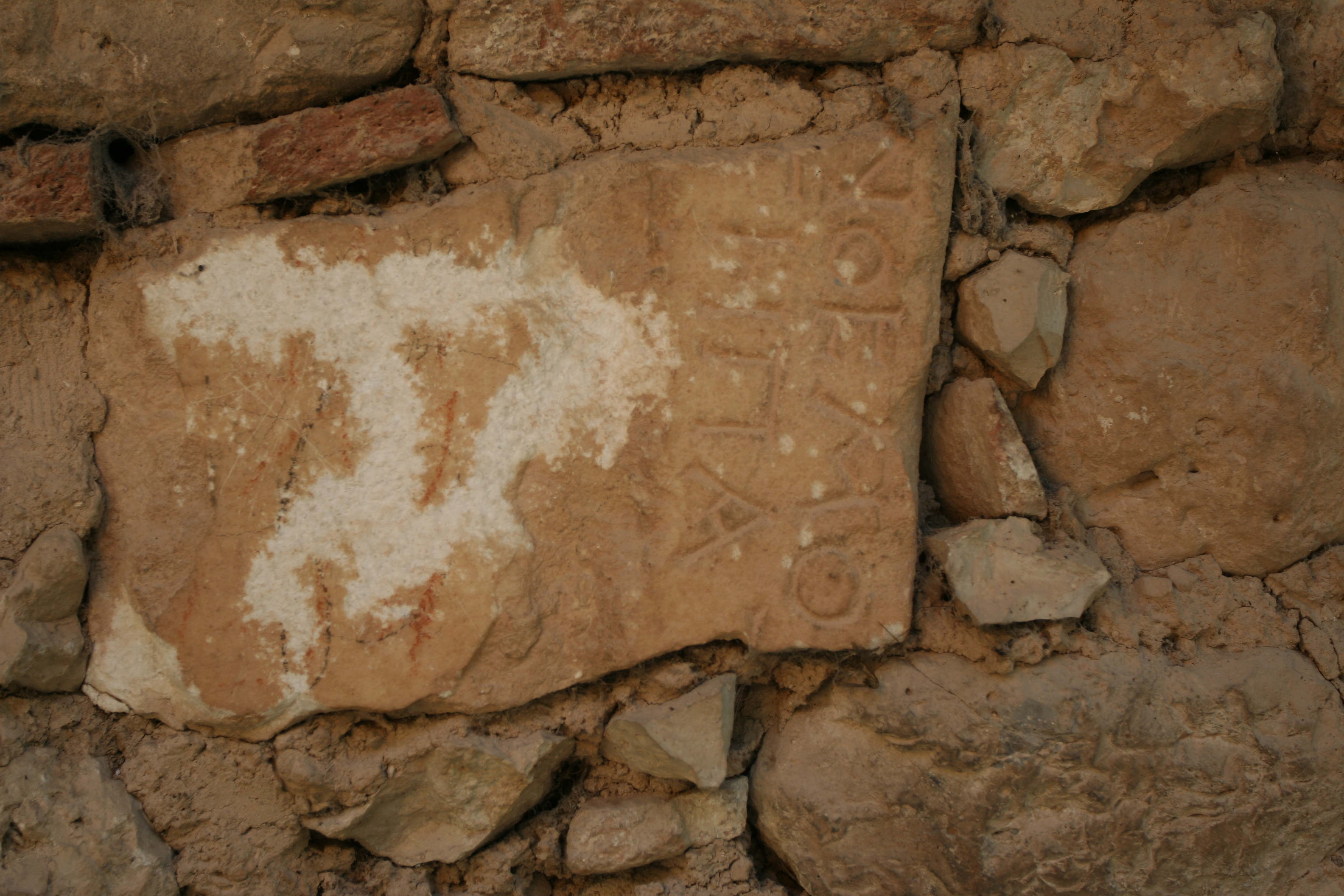
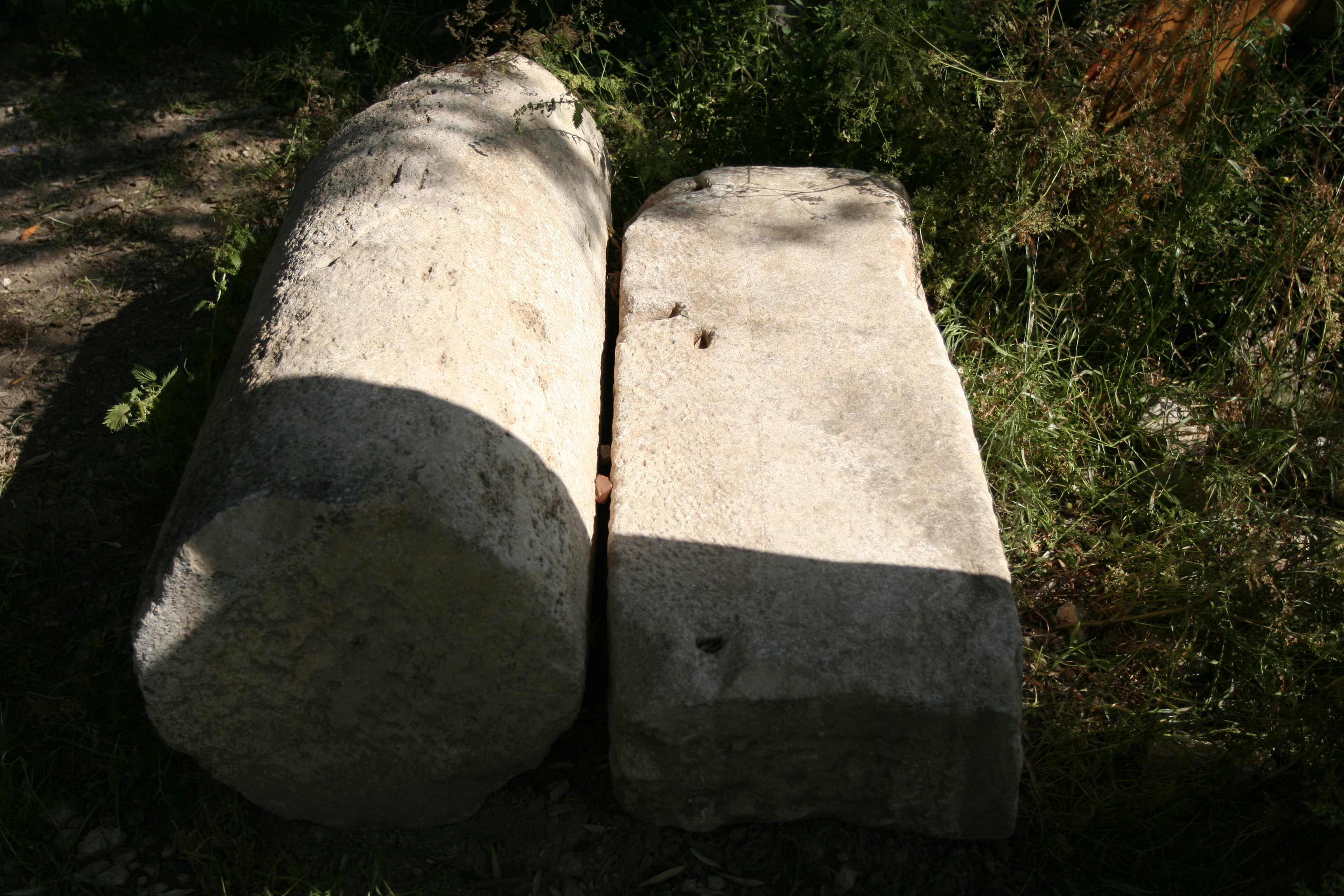
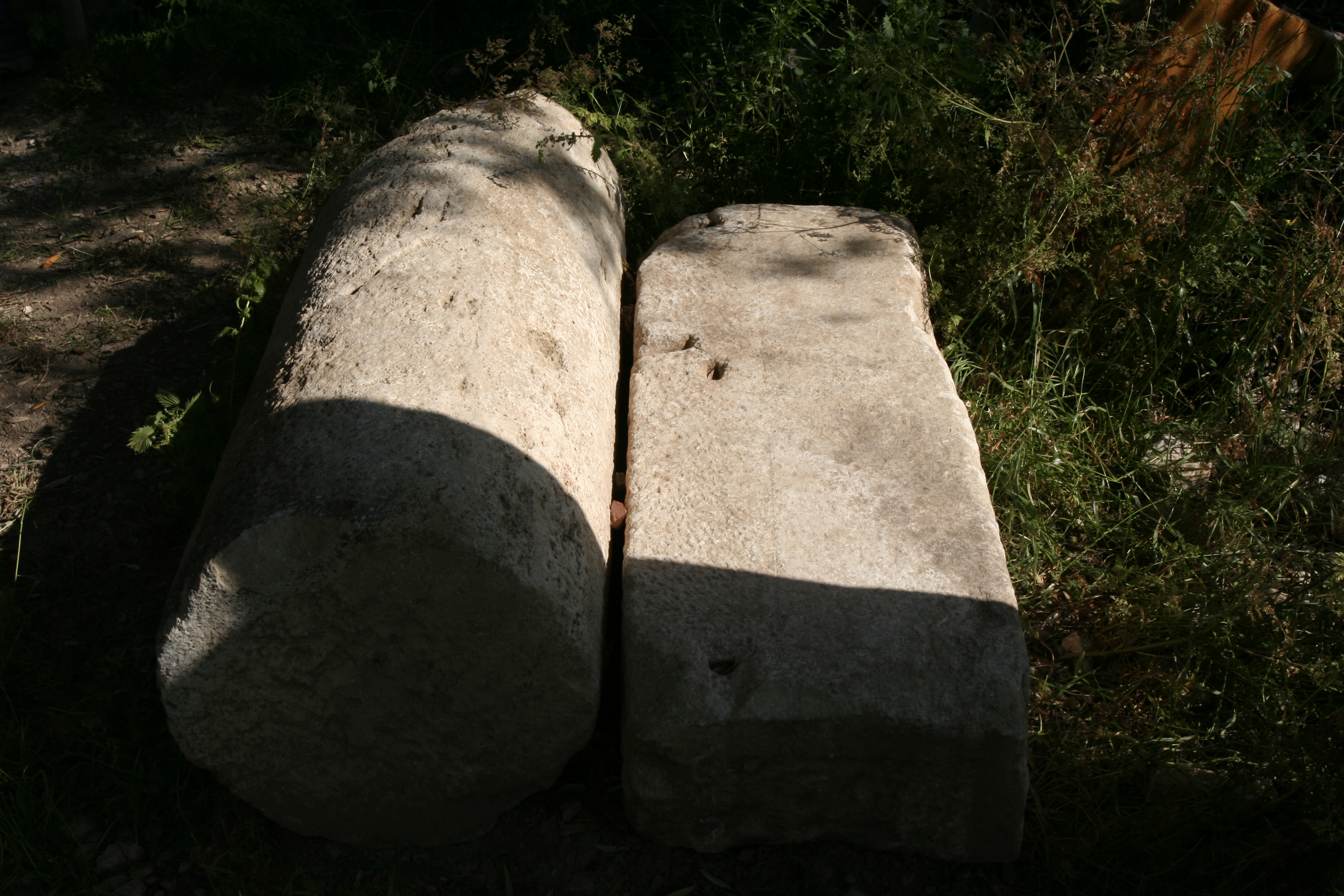
Local Name: Yukarı Görle Local Informant: Osman Alaca, muhtar of Yukarı Görle Latitude: 37.32.56.294 Longitude: 28.38.09.429 Elevation: 623m Description: The modern village of Yukarı Görle, located in a rocky defile at the southern edge of the plateau southwest of the Morsynus river valley, is built atop an ancient settlement of some size and duration. Various large worked marble and limestone architectural blocks, many of which may originate from the now disassembled theater -- the bowl shape of the cavea is still visible in an olive grove -- are reused throughout the village [D2006.0172, D2006.0174-7], including a fragment of a Corinthian capital [D2006.0171], an inscribed block [D2006.0178-80], and columns and piers [D2006.0181-82]. Blocks An extensive Hellenistic or Early Roman necropolis peppers the base of the cliffs north of the village; one of the tombs to the northeast was frescoed in the Middle Byzantine period (B039). Two blocks each carved with a Latin cross are built into the foundations of a village house (F085). Finds: Pottery was not collected, whether grab-bag or systematic. Architectural elements suggest an date range for occupation roughly parallel to that of the site of Aphrodisias.
Types
Other
Metadata
Show full item recordCollections
Remediation of Harmful Language
The University of Michigan Library aims to describe library materials in a way that respects the people and communities who create, use, and are represented in our collections. Report harmful or offensive language in catalog records, finding aids, or elsewhere in our collections anonymously through our metadata feedback form. More information at Remediation of Harmful Language.
Accessibility
If you are unable to use this file in its current format, please select the Contact Us link and we can modify it to make it more accessible to you.