 Access by request
F017: Valga Mevkii Farmstead 1
Aphrodisias Regional Survey
2008-05-27
View/


Citation
Page reference: Christopher Ratté and Peter D. De Staebler (eds.). Aphrodisias V. The Aphrodisias Regional Survey (Verlag Philipp von Zabern: Darmstadt/Mainz, 2012), 26, 28, 71, 85, 234, 395. <http://hdl.handle.net/2027.42/93012>
Other Identifiers
F017
Subjects
Farmsteads 4: Roman 5: Late Roman
Description
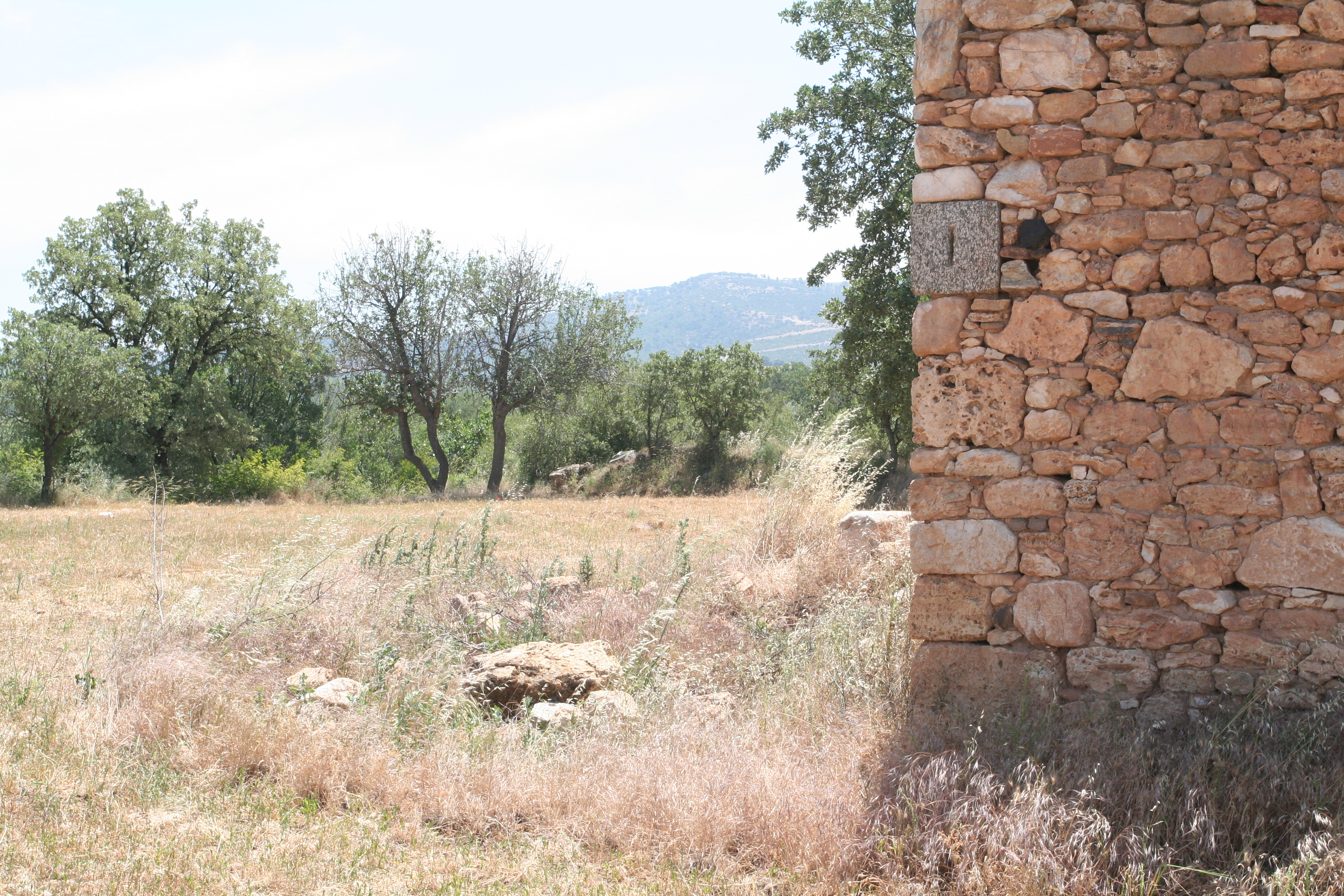
Latitude: 37.40.54.87 Longitude: 28.42.31.19 Elevation: 550m Description: This farmstead is located to the north of Villa/ Farmstead B063. Numerous architectural fragments are littered around and built into two farmhouses. A large number of agricultural blocks are seen here: three counterweight blocks, two socket blocks, three mortars and a counterweight block later converted into a socket block. The agricultural blocks were originally recorded in two separate records (B060 and B062), but it seems to be that they are from one farmstead. The agricultural blocks may actually reflect the processing area of the villa B063 to the south. Very close to these remains is a built Roman monumental tomb (F018). The pottery indicates that the site was occupied in the High Imperial to Late Antique periods. There were no examples of the earlier LCW; there is some GCW, and some Byzantine and Ottoman sherds. Finds: Systematic pottery collection on 5/27/2008
Types
Other
Metadata
Show full item recordCollections
Remediation of Harmful Language
The University of Michigan Library aims to describe library materials in a way that respects the people and communities who create, use, and are represented in our collections. Report harmful or offensive language in catalog records, finding aids, or elsewhere in our collections anonymously through our metadata feedback form. More information at Remediation of Harmful Language.
Accessibility
If you are unable to use this file in its current format, please select the Contact Us link and we can modify it to make it more accessible to you.