 Access by request
F023: Possible Farmstead
Aphrodisias Regional Survey
2008-05-31
View/


Citation
Page reference: Christopher Ratté and Peter D. De Staebler (eds.). Aphrodisias V. The Aphrodisias Regional Survey (Verlag Philipp von Zabern: Darmstadt/Mainz, 2012), 28, 71, 85, 235. <http://hdl.handle.net/2027.42/93018>
Other Identifiers
F023
Subjects
Farmsteads 4: Roman 3: Hellenistic 5: Late Roman
Description
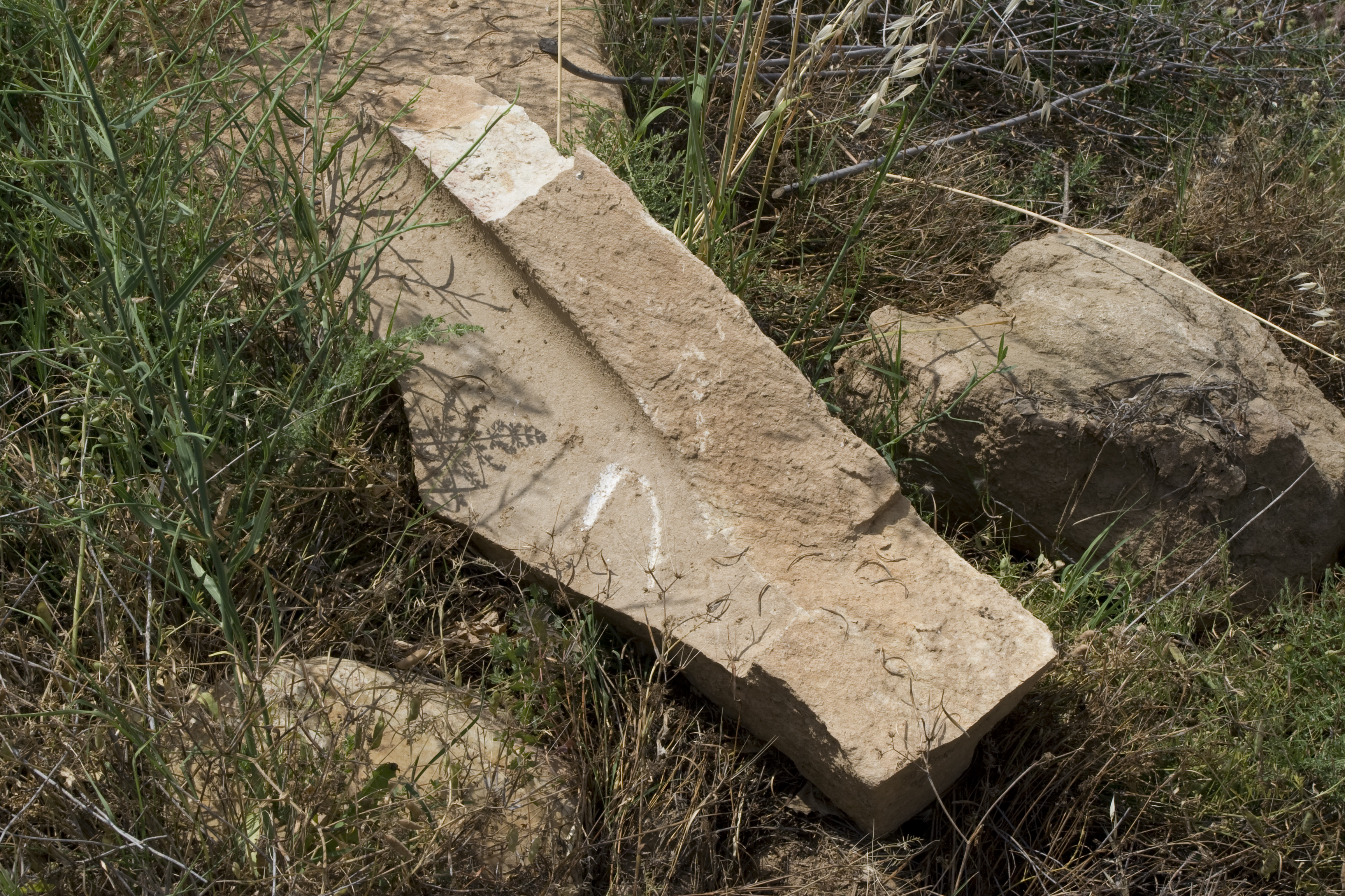
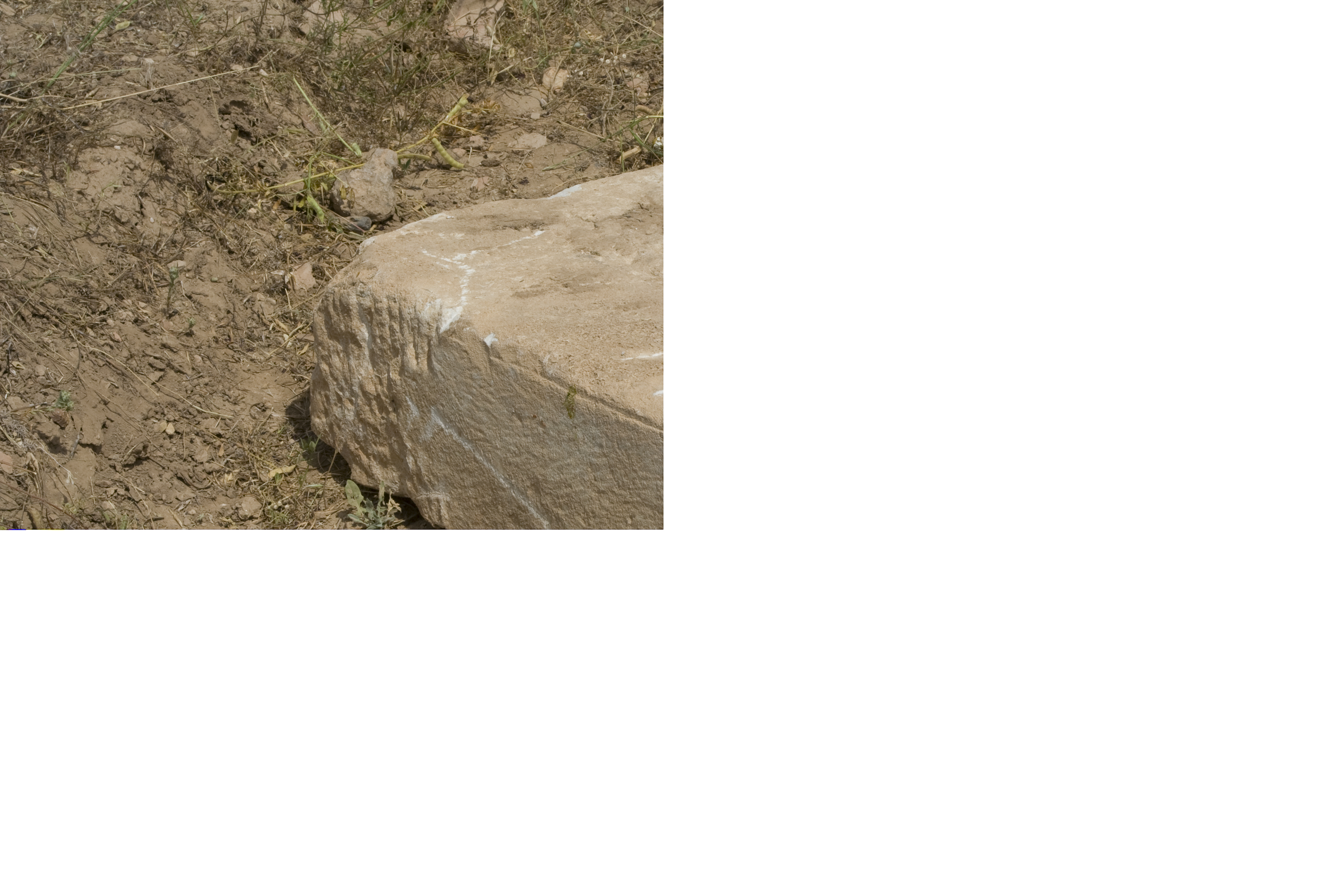
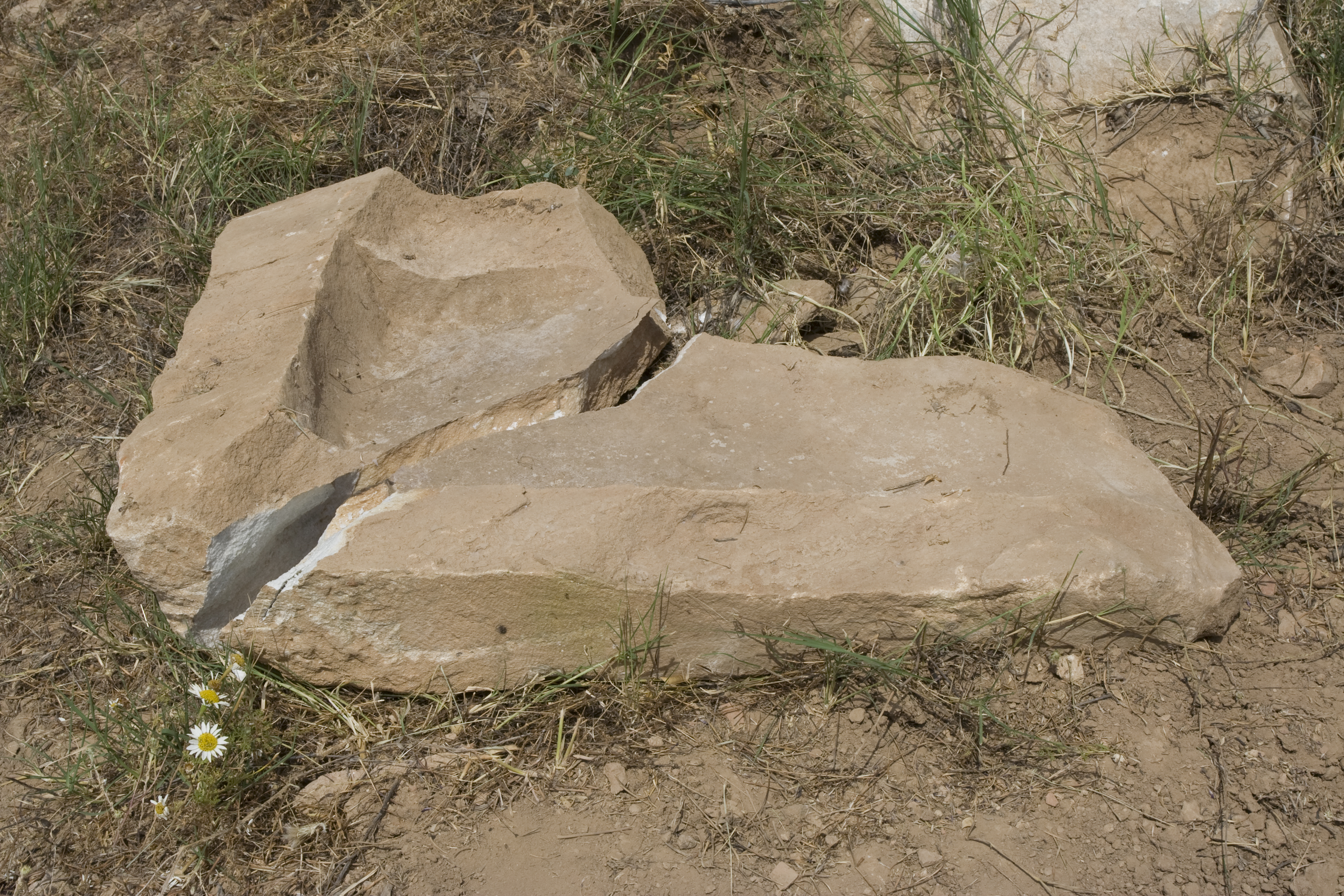
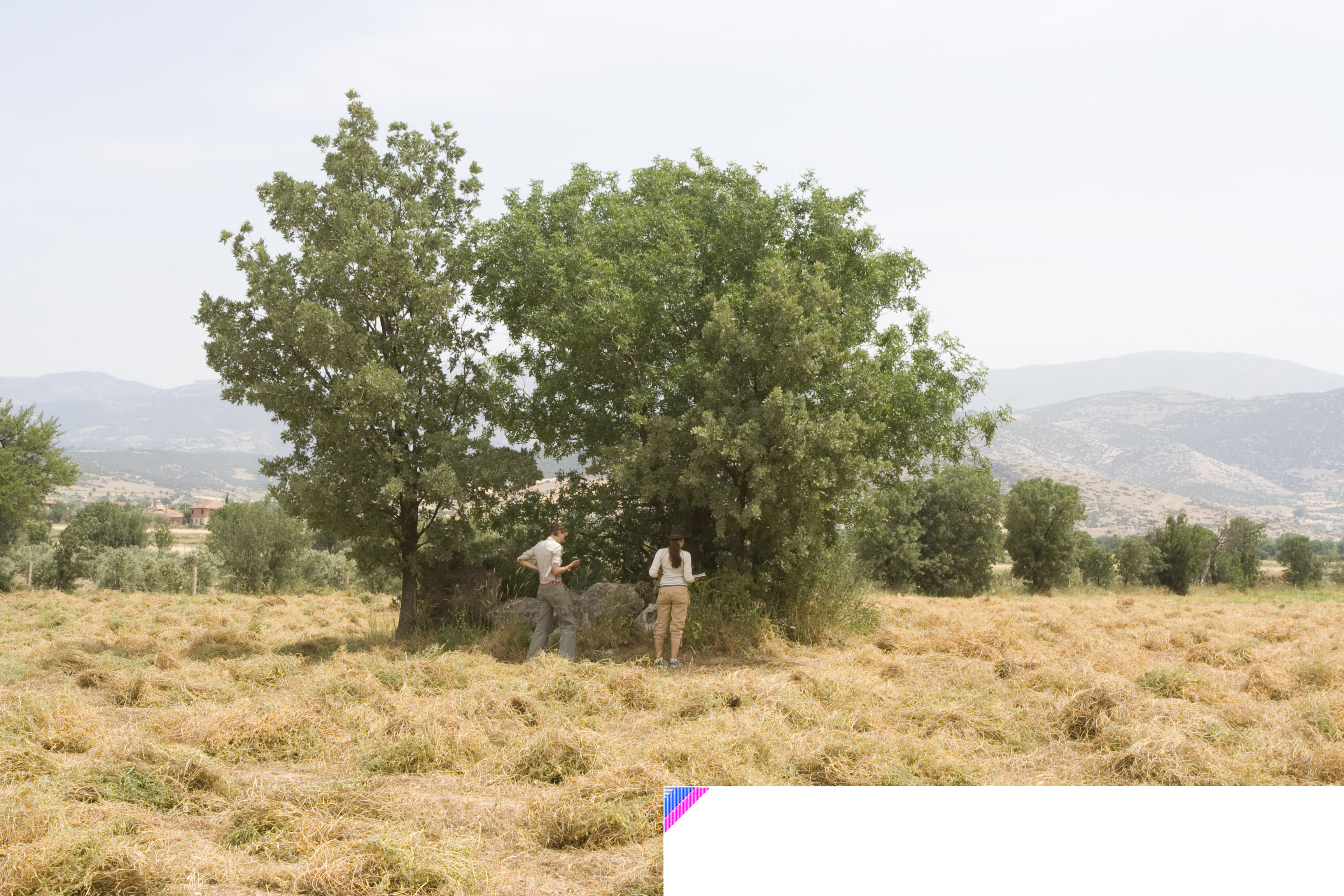
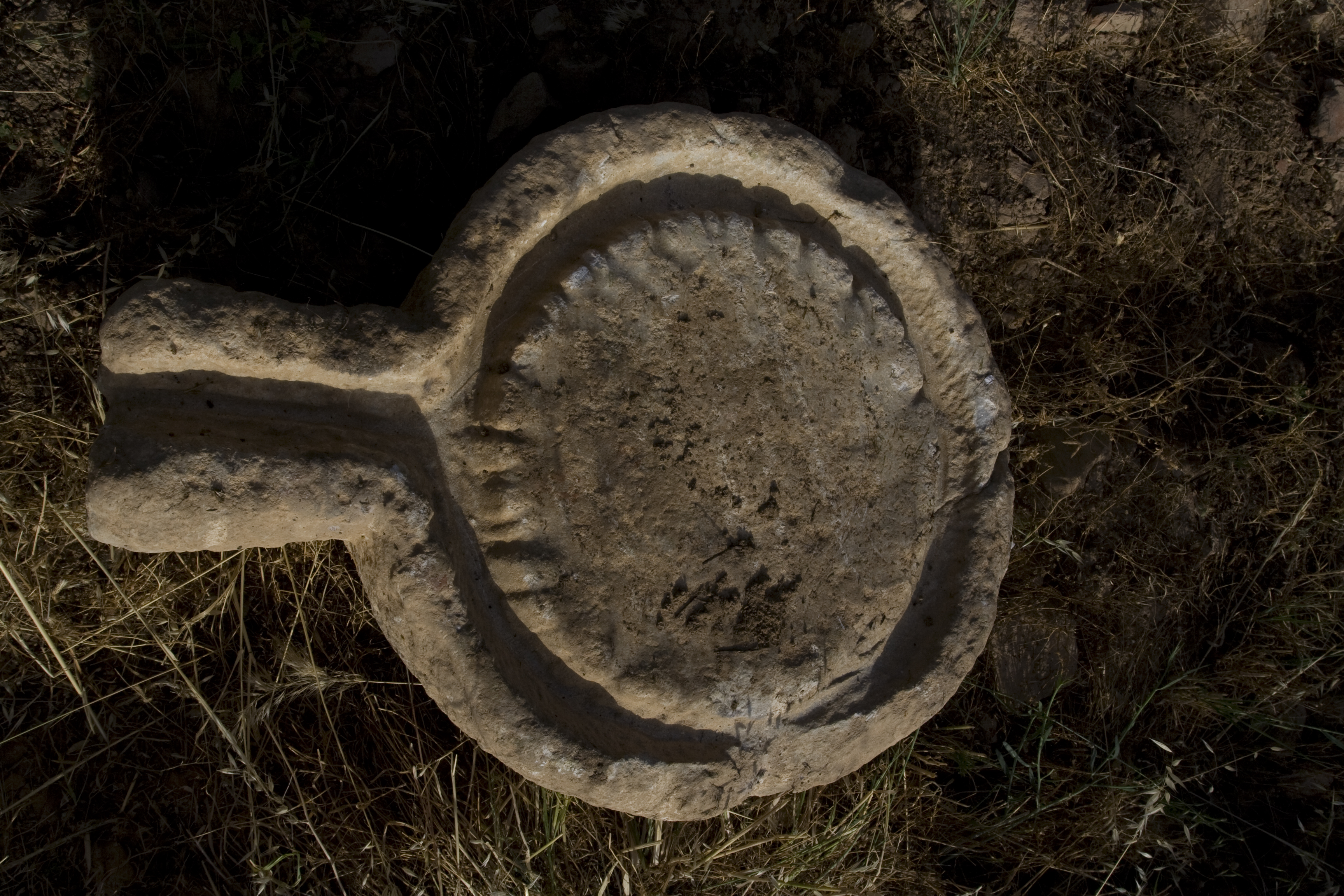
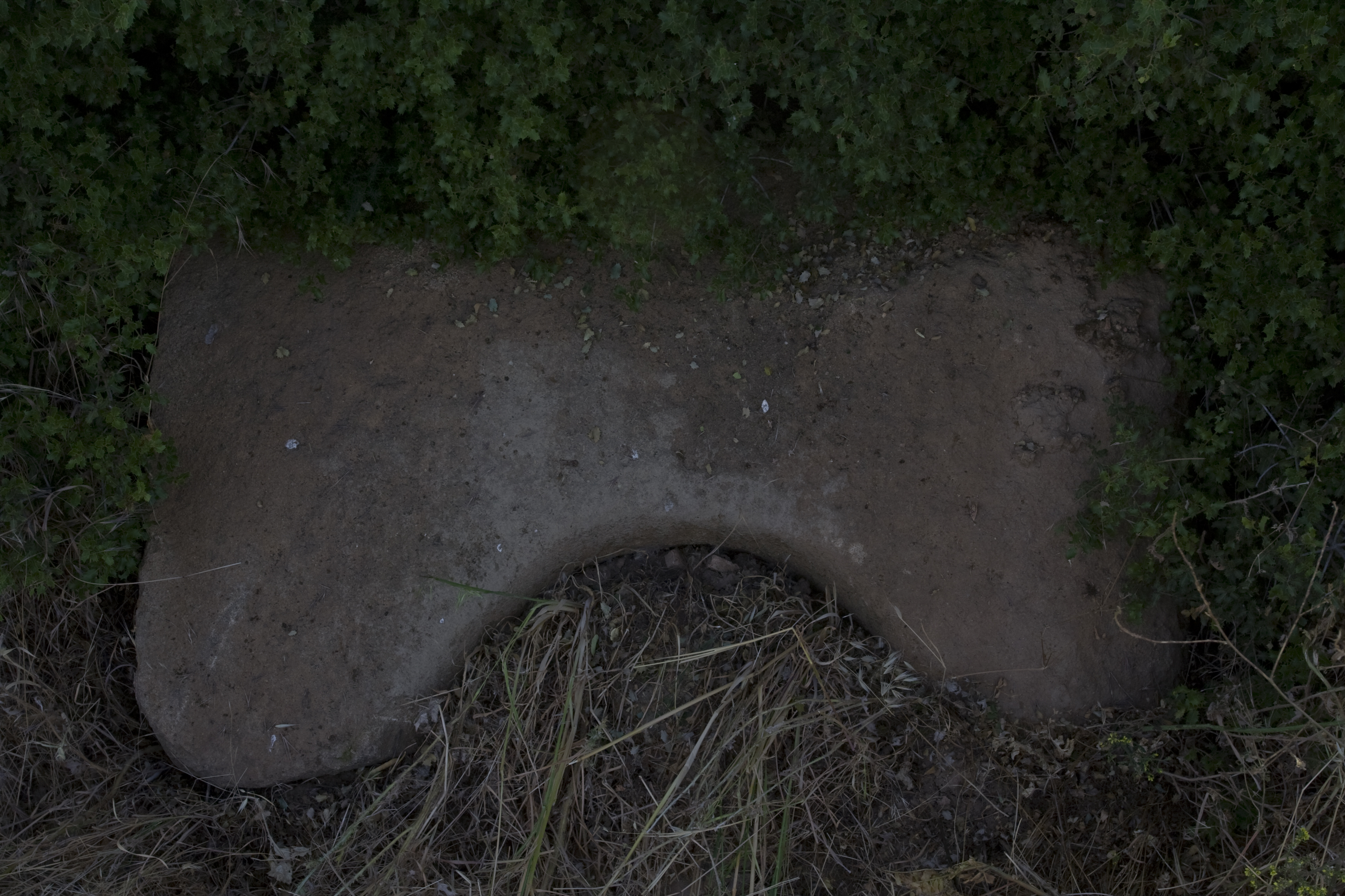
Local Name: Geyre Latitude: 37.42.03.90 Longitude: 28.42.23.61 Elevation: 502.21m Description: A farmstead site is located in a modern olive grove. Field walls on the west and south sides have worked marble blocks of varying sizes in them, and 3 possible sarcophagus fragments. The pottery and tile scatter covers roughly 45m E-W and extends for at least 20m N-S. A press bed (B057) is in the SE corner of the field. Other large blocks include: another large marble block with a semicircular cutting on one side; a possible corner of a sarcophagus; a maybe reused architectural block; a hollowed out block with underside niche with claw chisel marks and dressed surface likely reused in olive oil production. Pottery from the site suggests a long period of occupation, and includes a fragment of a molded bowl and two Late Roman unguentarium fragments. Nearby is a large collection of stones, possibly from a tomb (at location 37.42.187 / 28.42.620, elevation 505m) Finds: Systematic pottery collection on 5/31/2008
Types
Other
Metadata
Show full item recordCollections
Remediation of Harmful Language
The University of Michigan Library aims to describe library materials in a way that respects the people and communities who create, use, and are represented in our collections. Report harmful or offensive language in catalog records, finding aids, or elsewhere in our collections anonymously through our metadata feedback form. More information at Remediation of Harmful Language.
Accessibility
If you are unable to use this file in its current format, please select the Contact Us link and we can modify it to make it more accessible to you.