 Access by request
B011: Kadıkerim Settlement
Aphrodisias Regional Survey
2006-05-19
View/


Citation
Page reference: Christopher Ratté and Peter D. De Staebler (eds.). Aphrodisias V. The Aphrodisias Regional Survey (Verlag Philipp von Zabern: Darmstadt/Mainz, 2012), 26, 71, 74, 80, 85, 207, 230, 235, 236. <http://hdl.handle.net/2027.42/92525>
Other Identifiers
B011
Subjects
Settlements 3: Hellenistic 4: Roman
Description
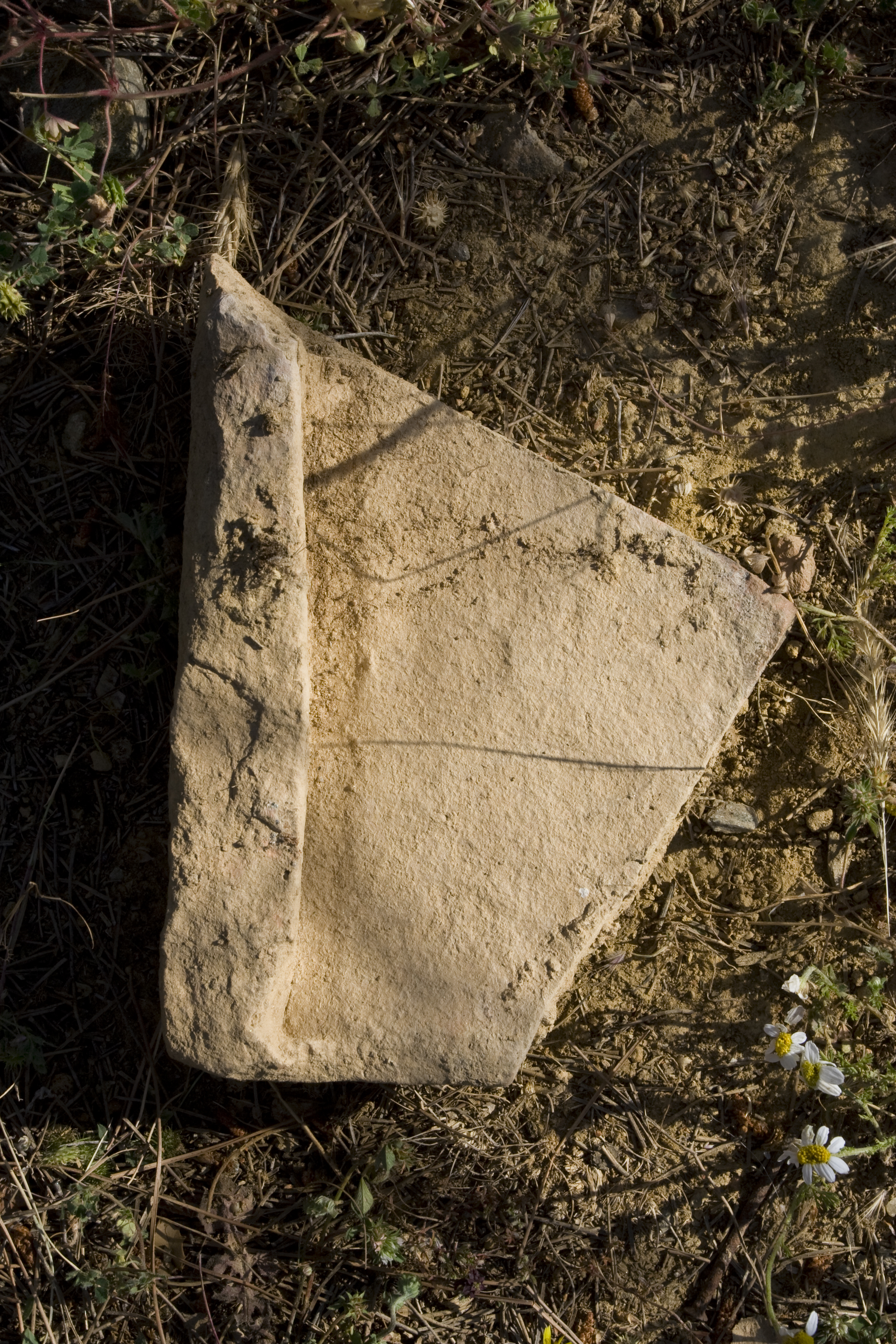
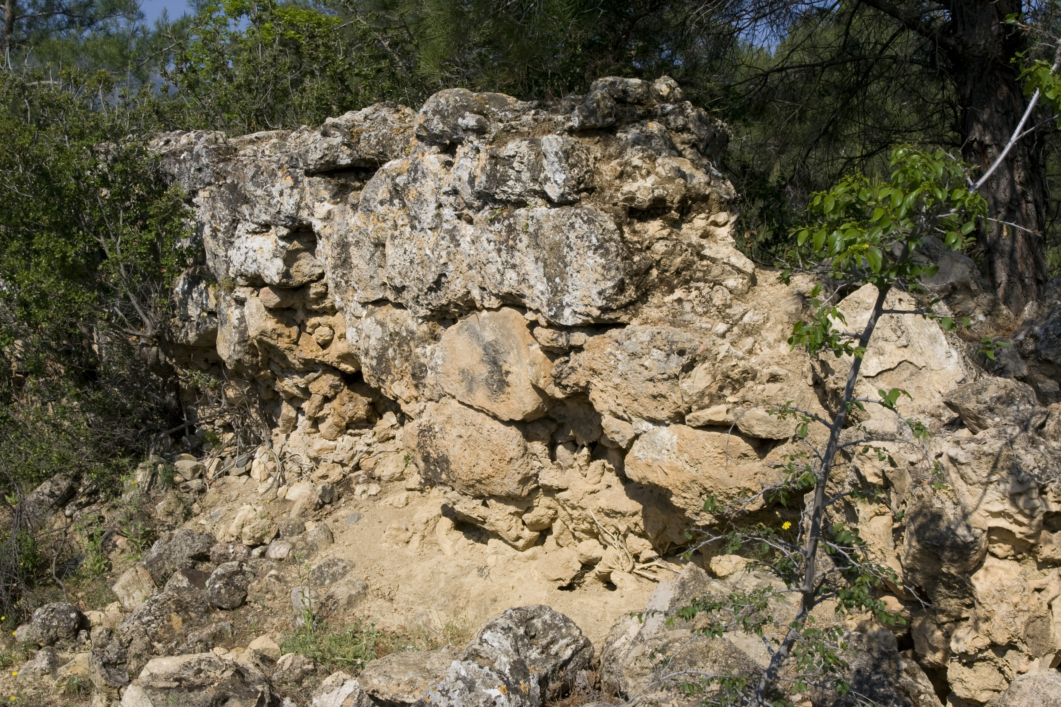
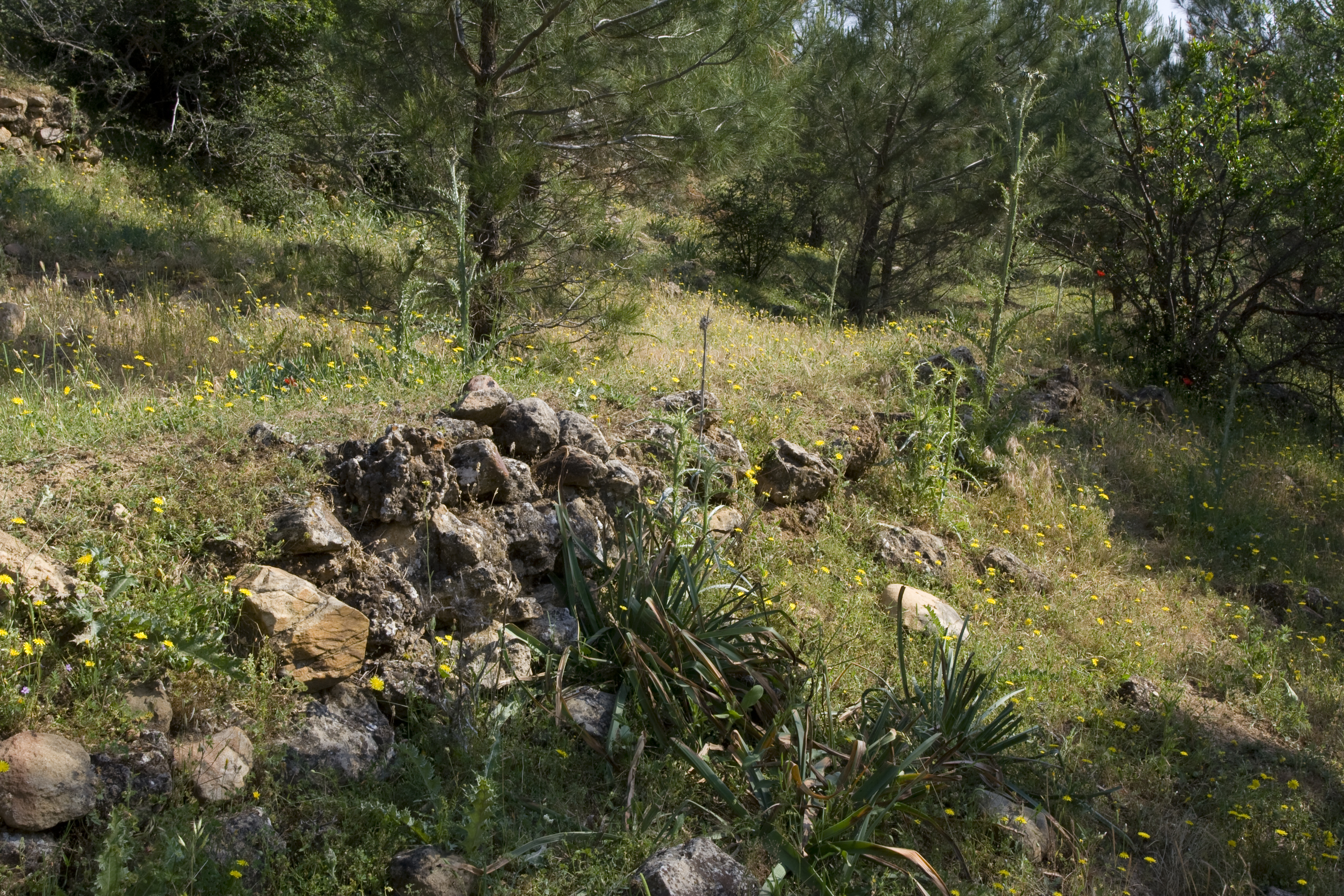
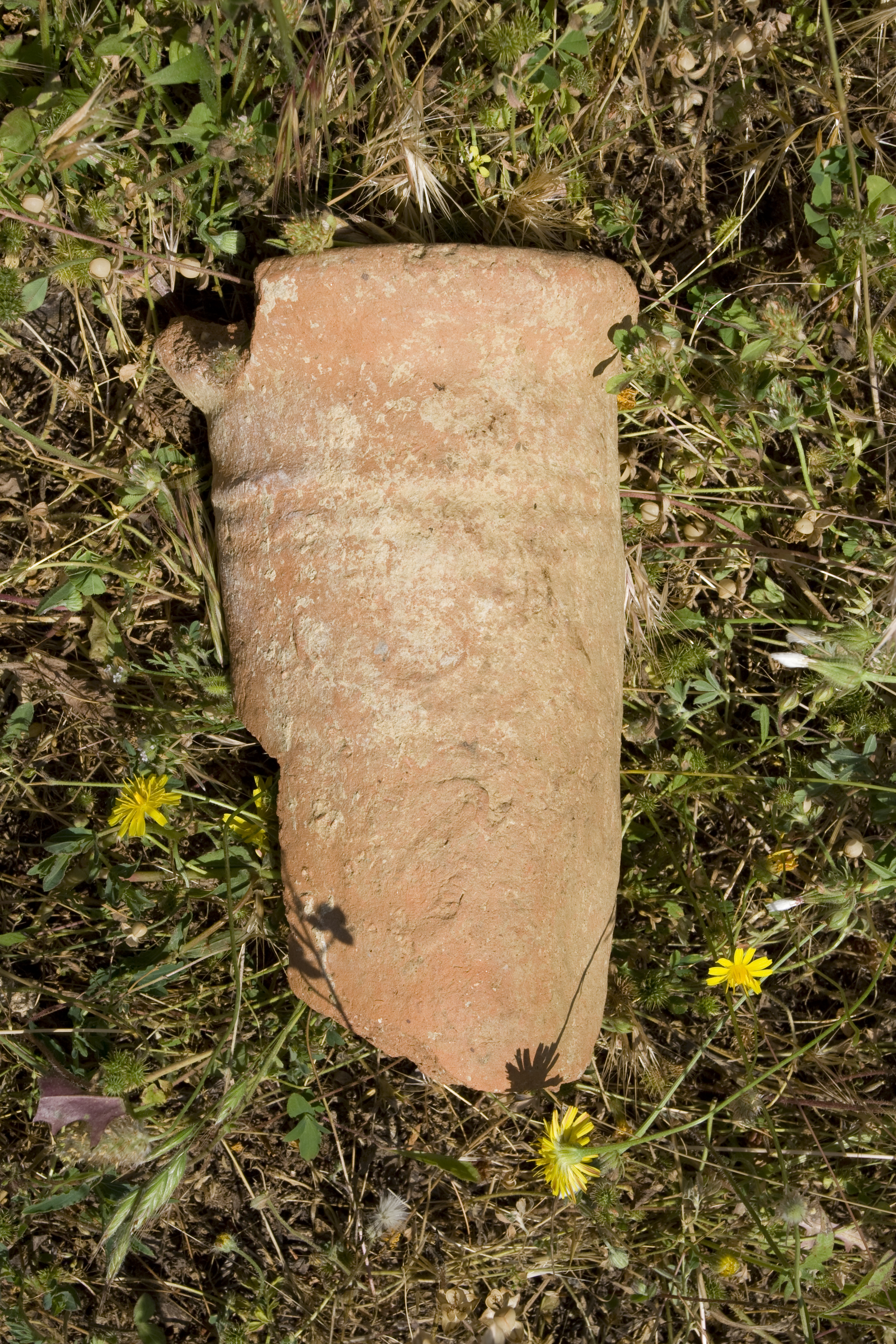
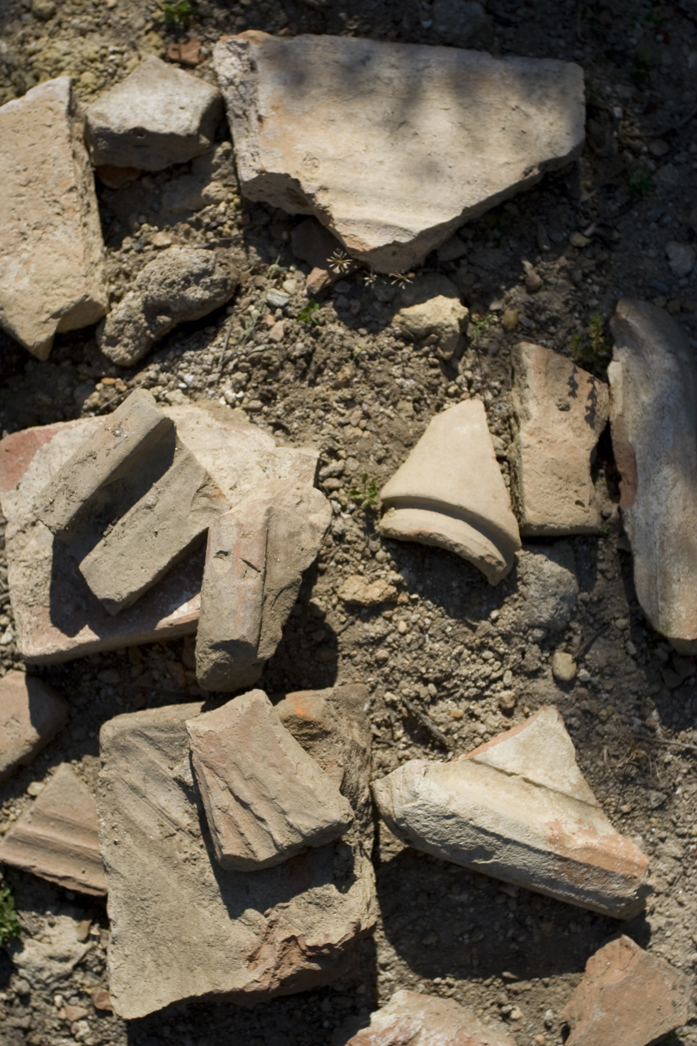
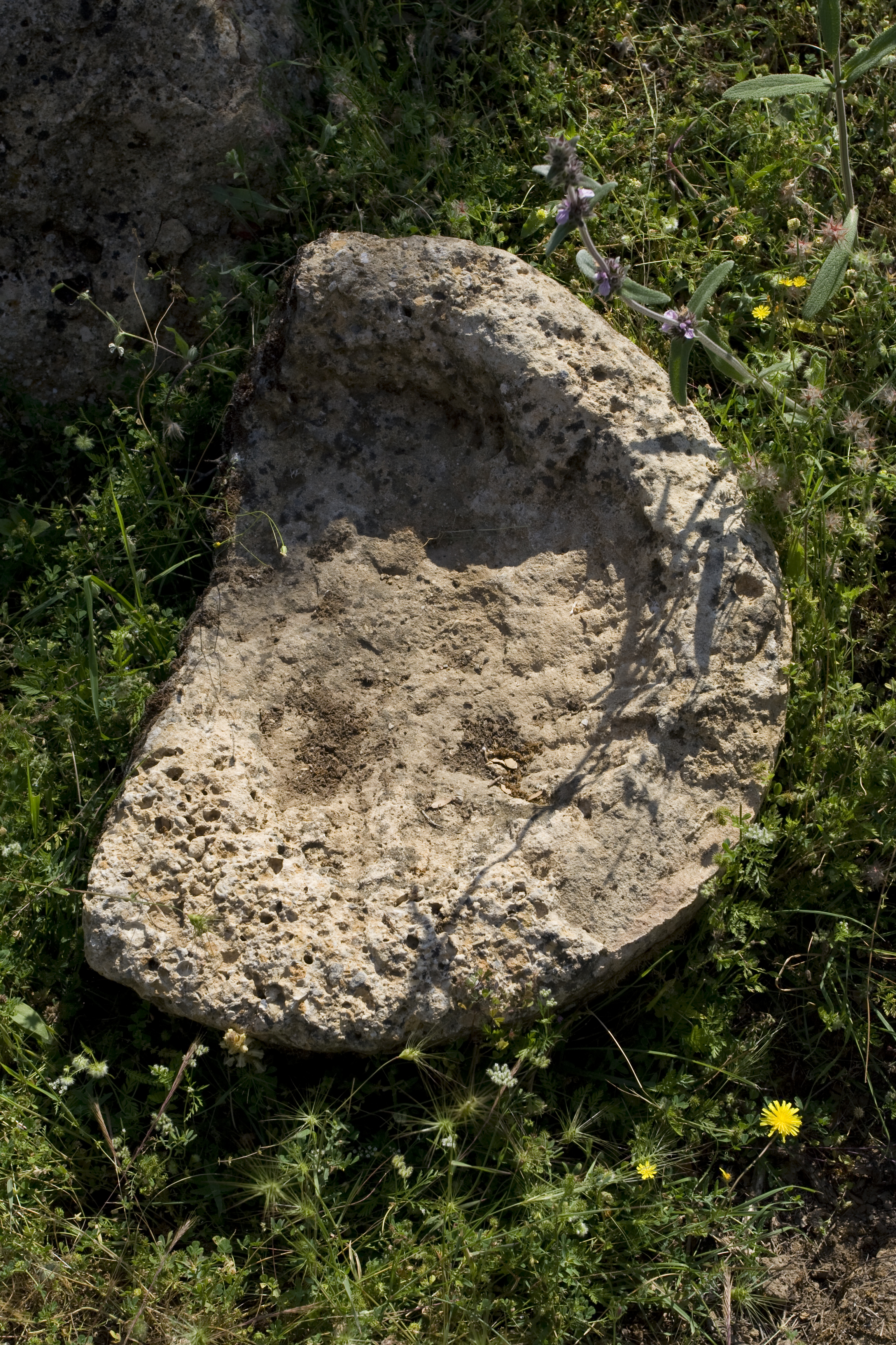
Local Name: Kadıkerim Mevkii, Yazır Local Informant: Ismail Dönertaş Local Information: On East side of hill there was originally a church in the shape of a cross, but it has been dug up. There was apparently a marble statue of a baby inside Latitude: 37.42.20.218 Longitude: 28.39.15.520 Elevation: 503m Description: This extensive settlement is located 5.0 km to the southwest of the ancient city within a young pine plantation and sits on a natural limestone and schist outcropping. This site covers an area approximately 200 m by 40 m. Clear outlines of buildings are seen all along a natural rise, as well as terrace walls for the settlement and lower buildings. An Ottoman aqueduct (B073) carries water from a spring to the center of this site, and an ancient cistern is at the southern end of the site. Press and mill elements (B072) include a counterweight block, a crushing basin, a grinding stone, a possible grinding bed, and two socket blocks. There are numerous tile and brick fragments across the site, as well as fragments of marble revetment. The pottery from this site shows a long period of occupation, including both the earlier and later types of cookwares, echinus bowl rim fragments, a skyphos fragment, ESB fragments, and Late Roman Unguentarium fragments. Finds: Large amount of pottery, revetment, tiles and pipe fragments found. Finds date occupation to the long Roman period, roughly 1st c BC through the 6th c AD (+ 1 Ottoman fragment); the pottery assemblage seen here is close to that known at Aphrodisias ** Systematic pottery collection conducted 20 June 2006
Types
Other
Metadata
Show full item recordCollections
Remediation of Harmful Language
The University of Michigan Library aims to describe its collections in a way that respects the people and communities who create, use, and are represented in them. We encourage you to Contact Us anonymously if you encounter harmful or problematic language in catalog records or finding aids. More information about our policies and practices is available at Remediation of Harmful Language.
Accessibility
If you are unable to use this file in its current format, please select the Contact Us link and we can modify it to make it more accessible to you.