 Access by request
C032: Karakuz Kayası Settlement (also "Gökçeler 1")
Aphrodisias Regional Survey
2006-06-10
View/


Citation
Page reference: Christopher Ratté and Peter D. De Staebler (eds.). Aphrodisias V. The Aphrodisias Regional Survey (Verlag Philipp von Zabern: Darmstadt/Mainz, 2012), 26, 71, 85, 212. <http://hdl.handle.net/2027.42/92668>
Other Identifiers
C032
Subjects
Settlements 3: Hellenistic 4: Roman
Description
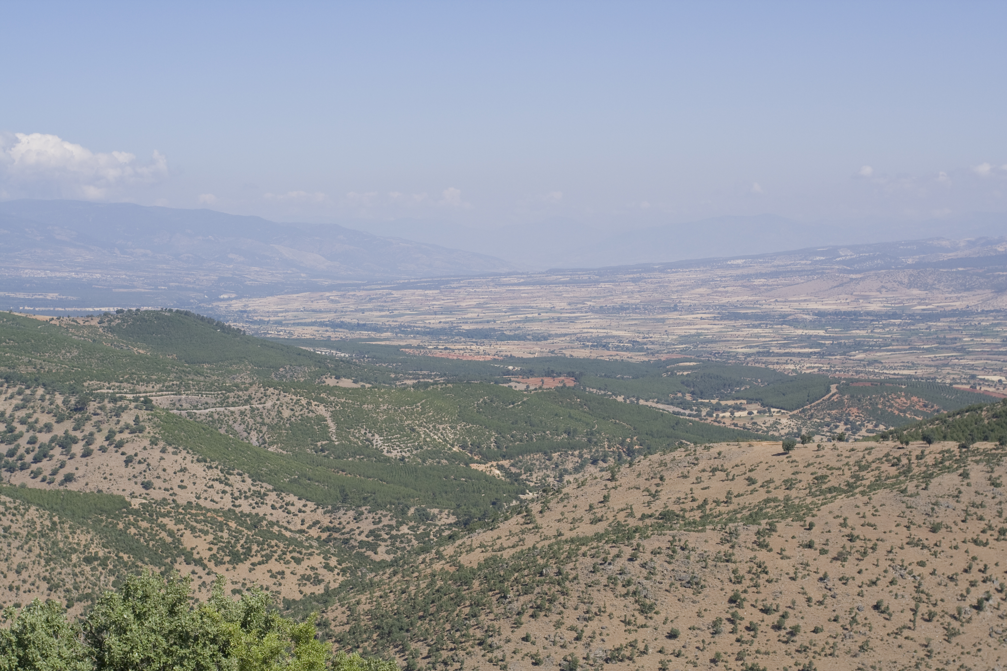
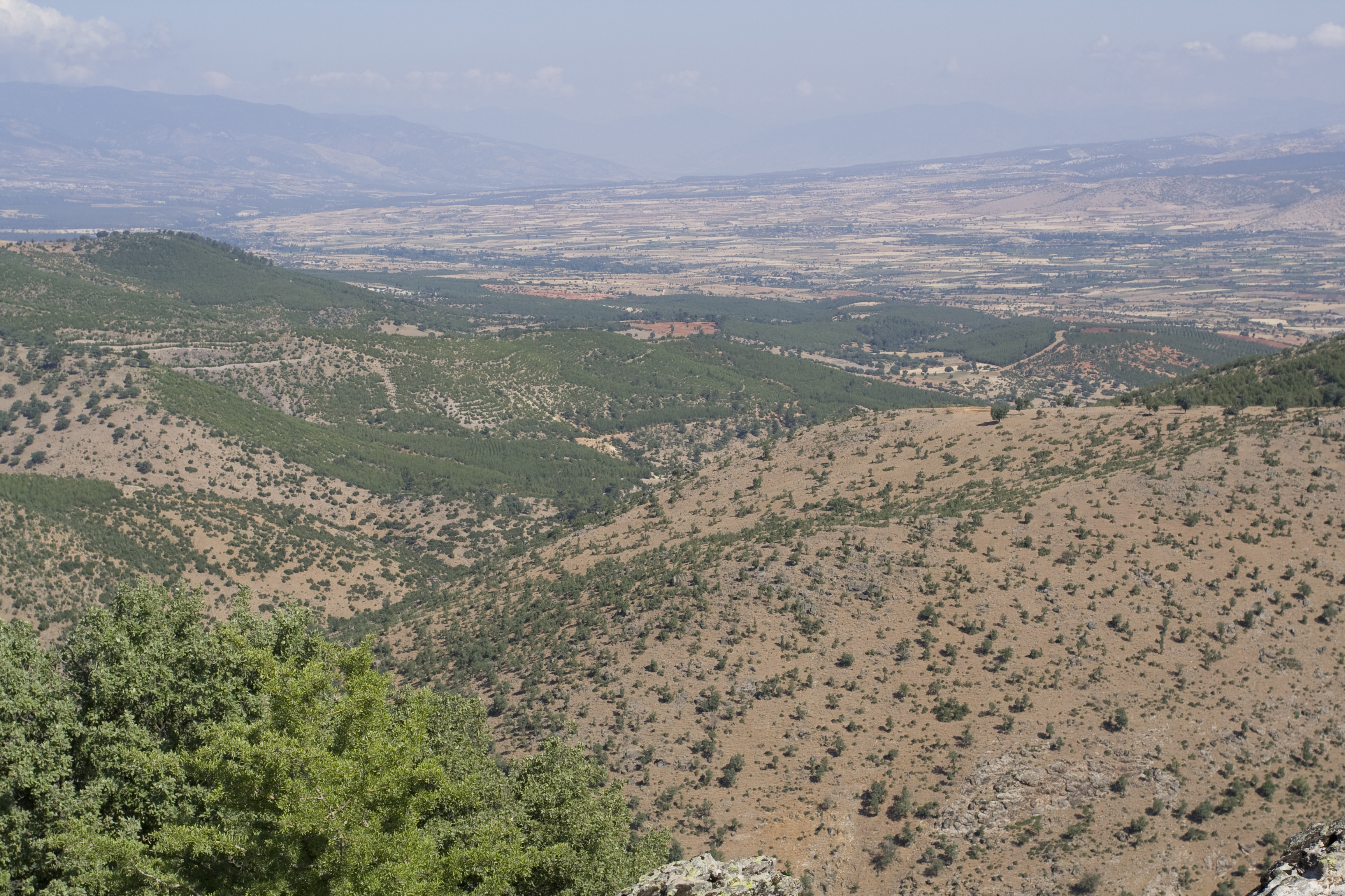
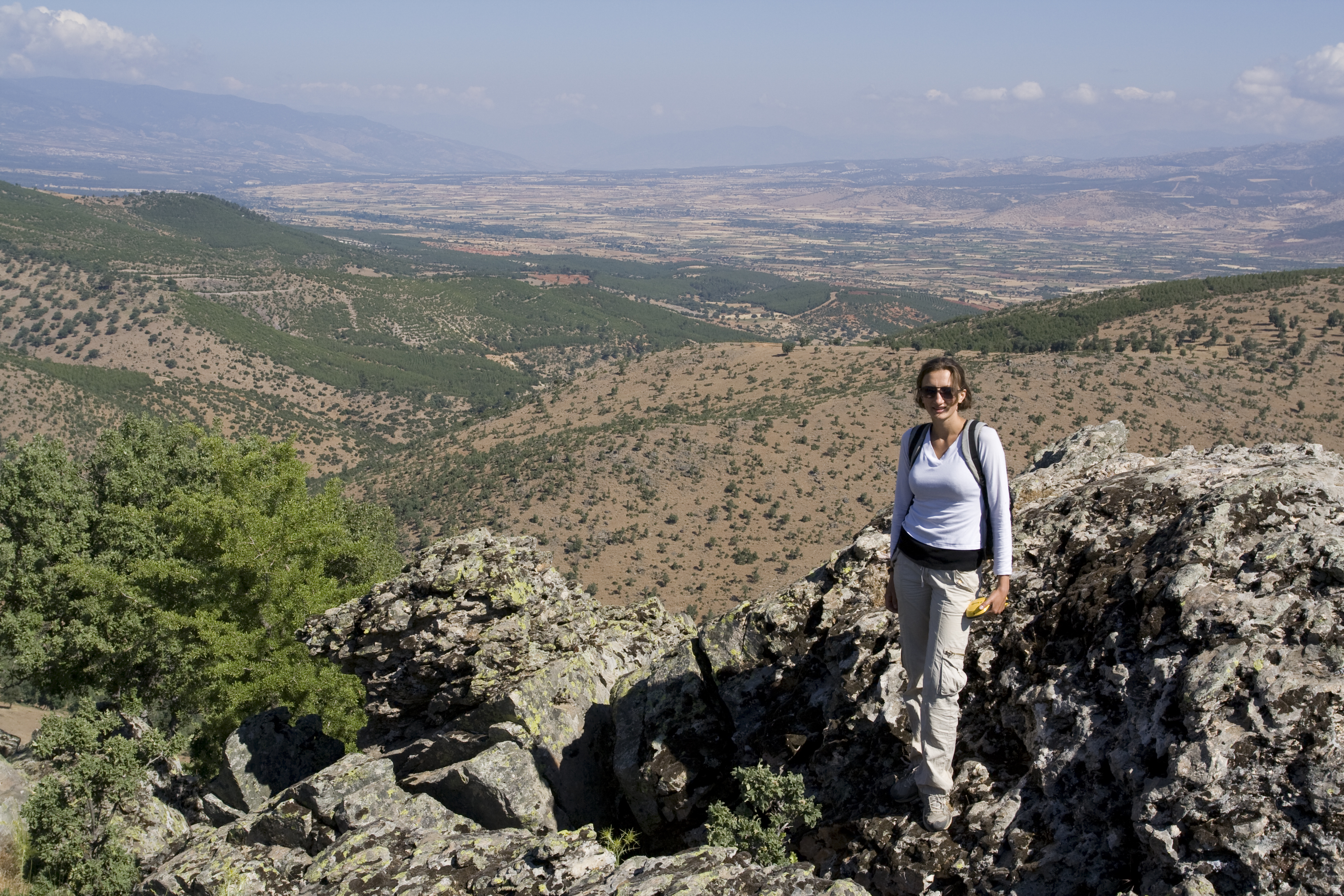
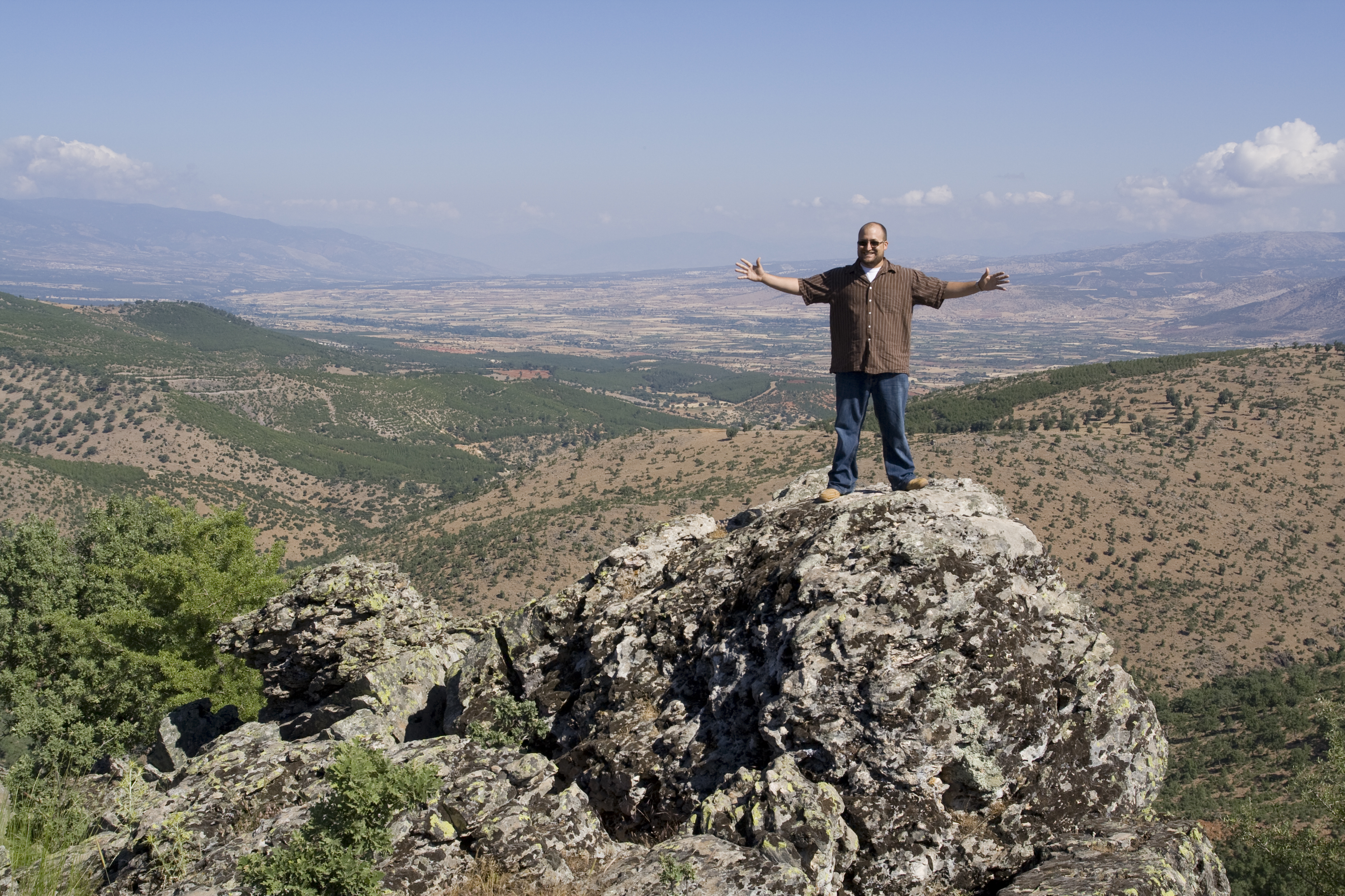
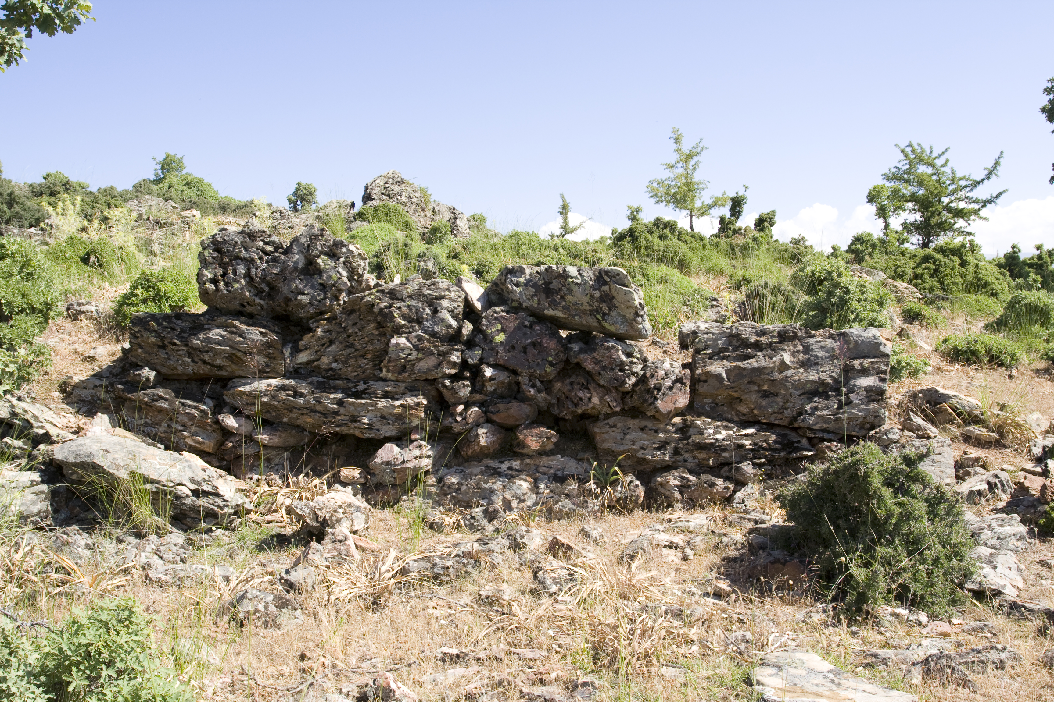
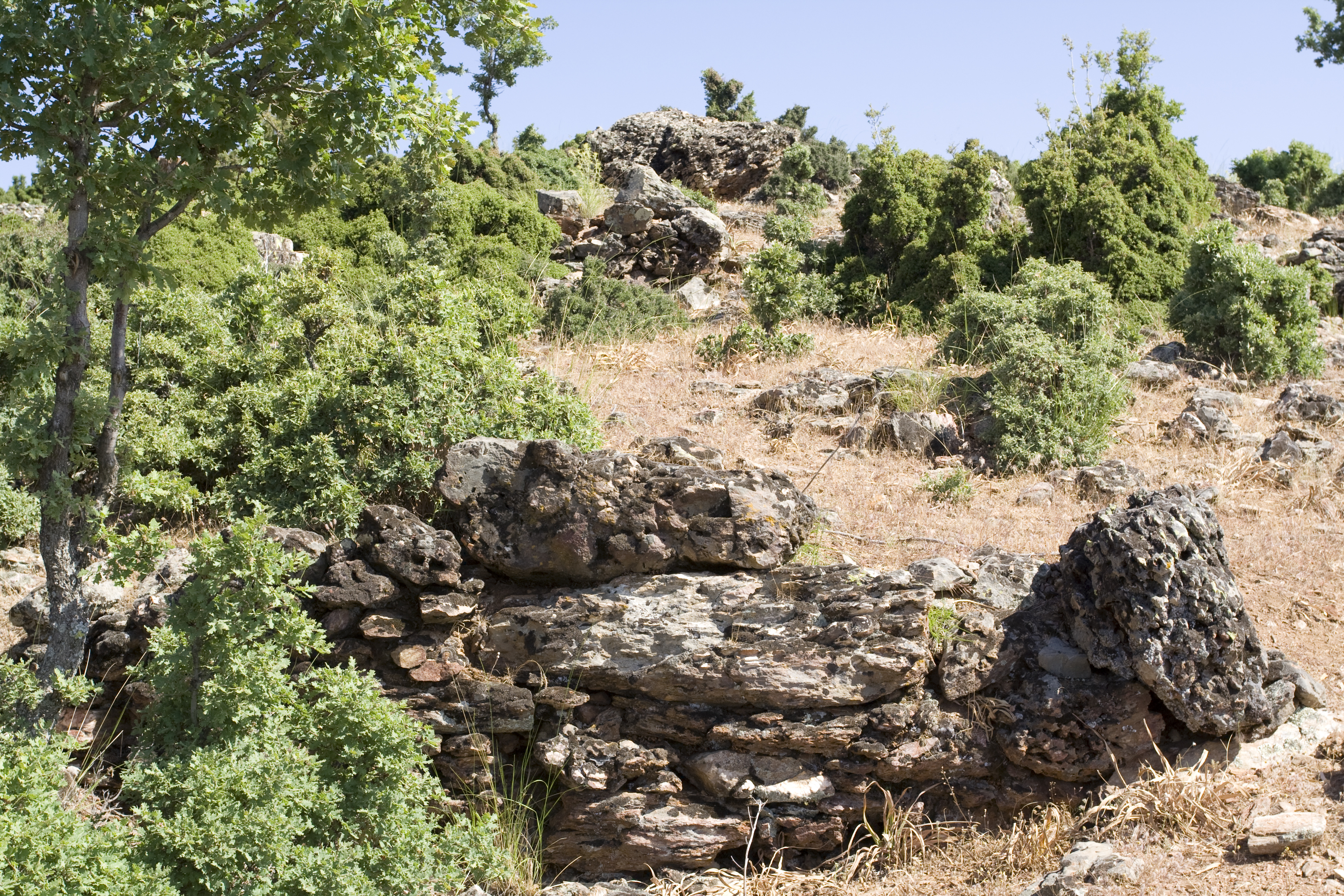
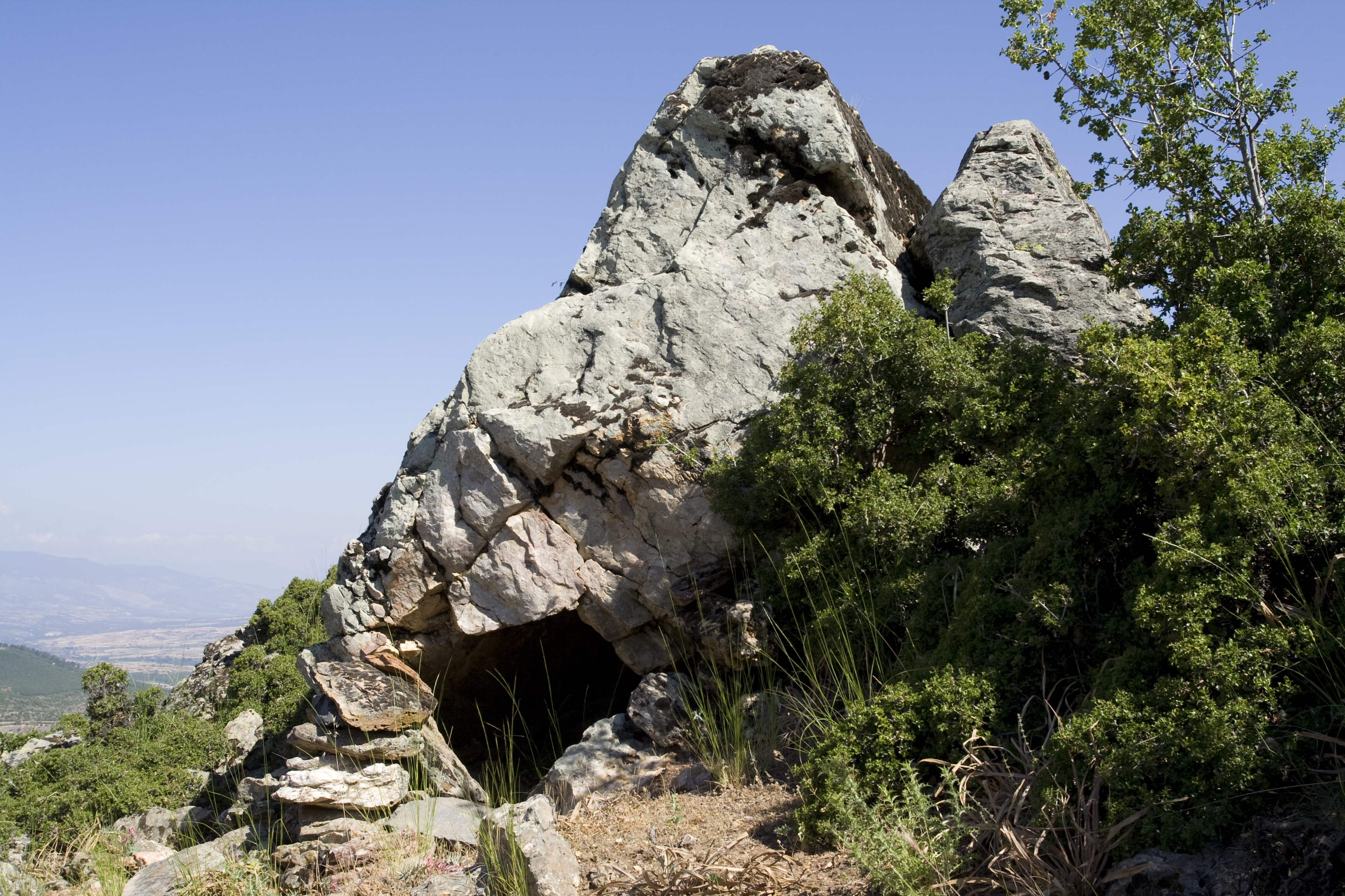
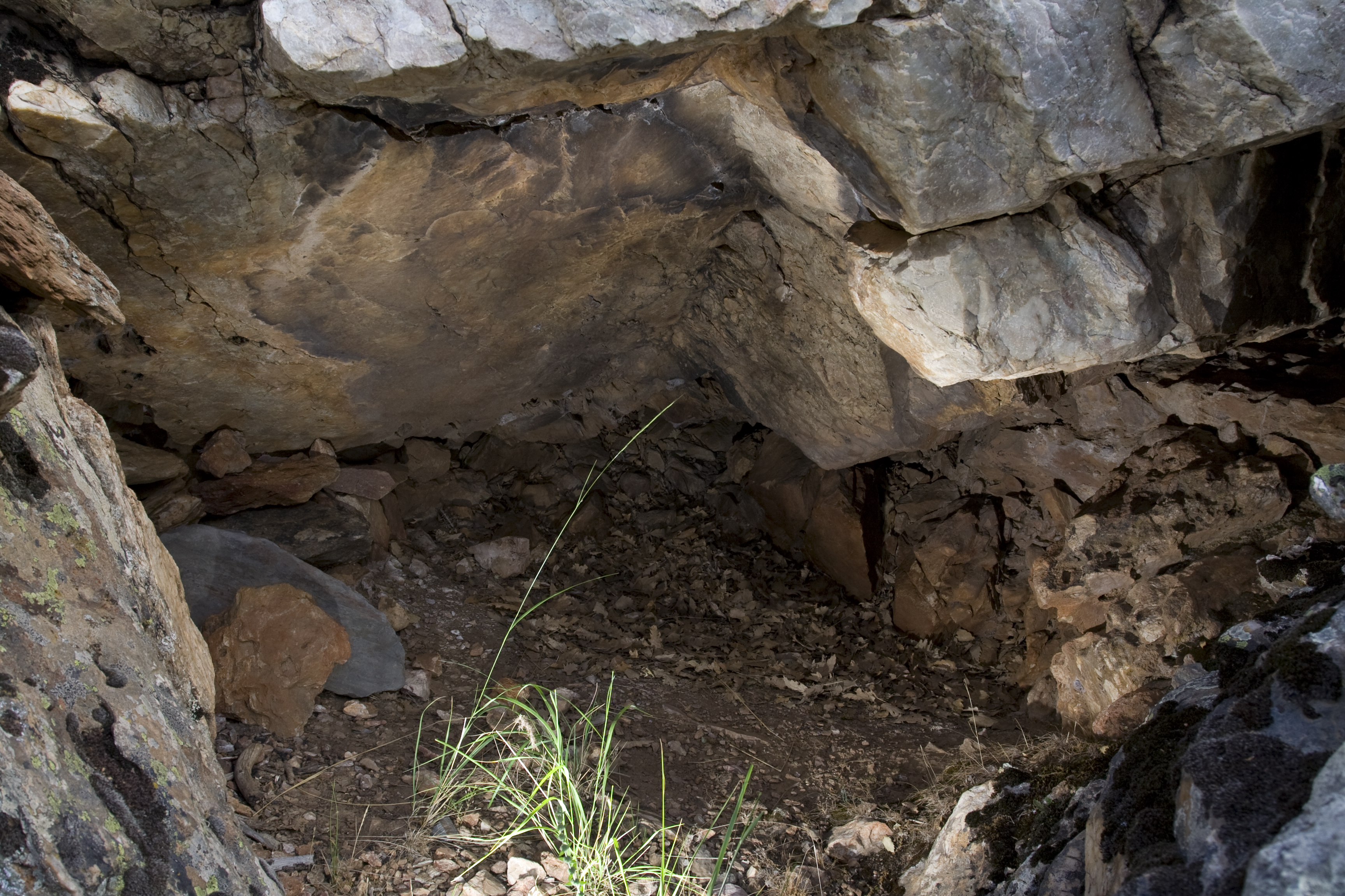
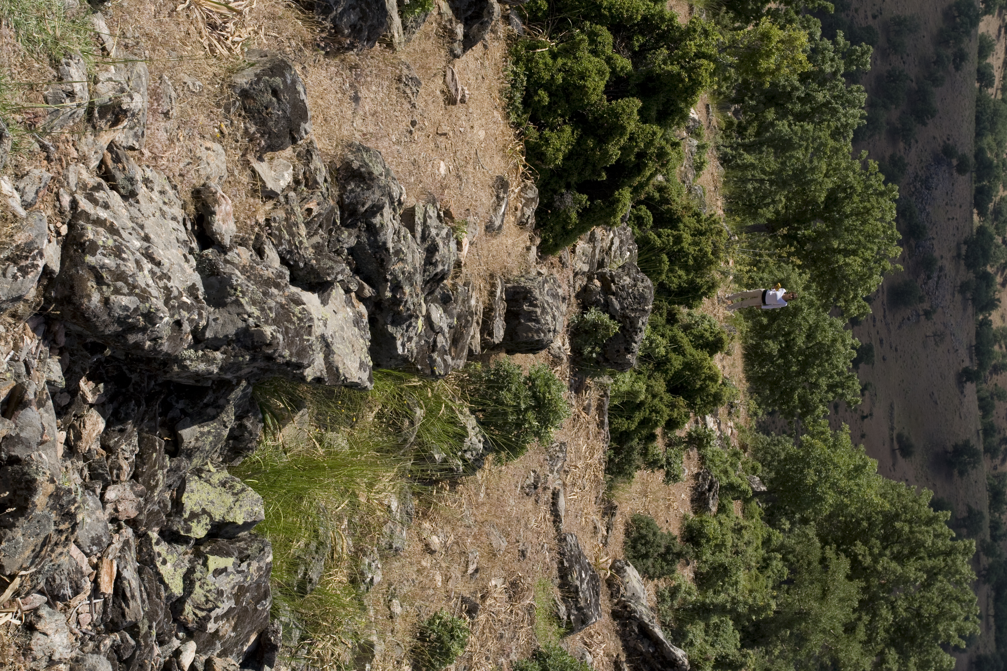
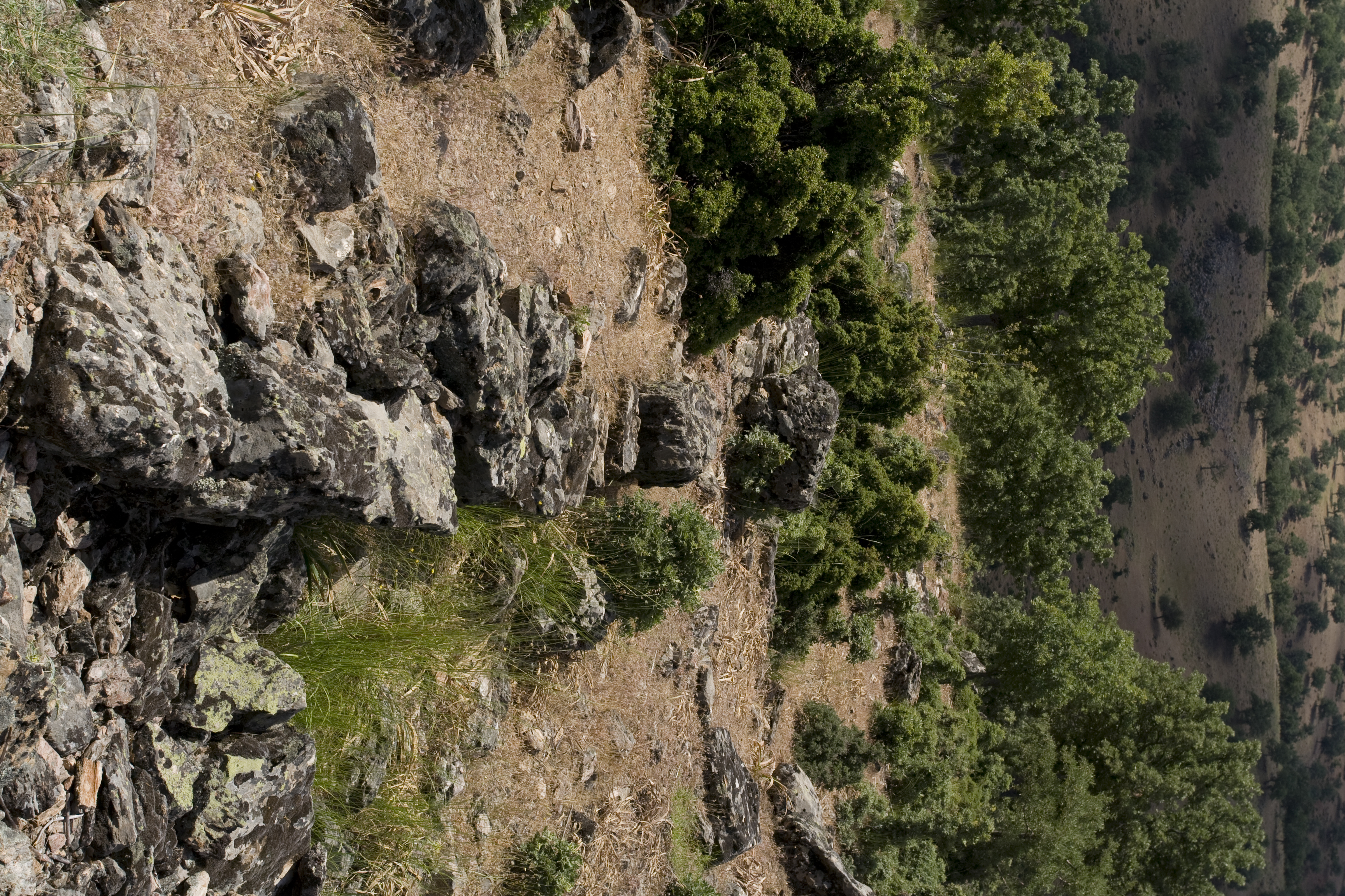
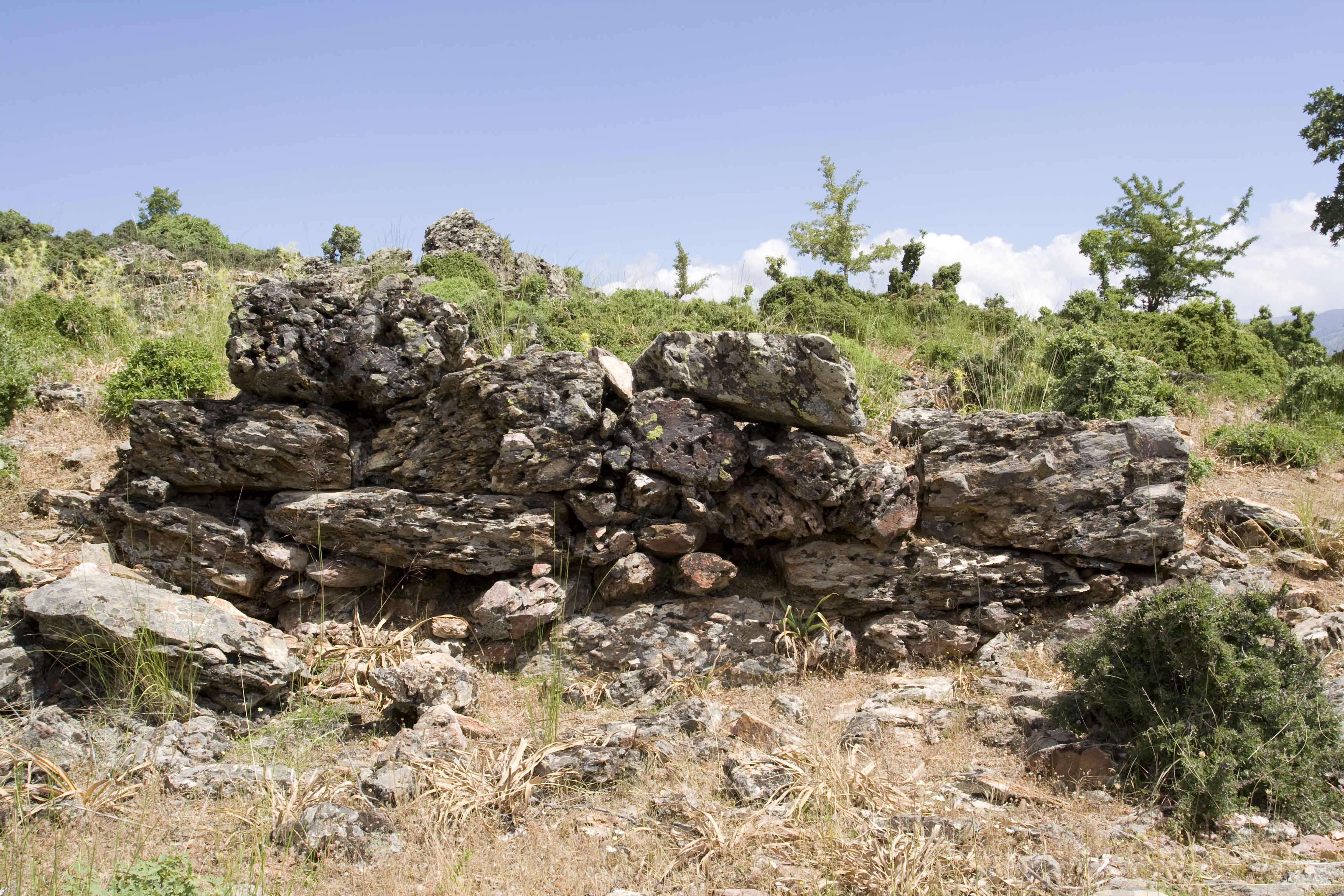
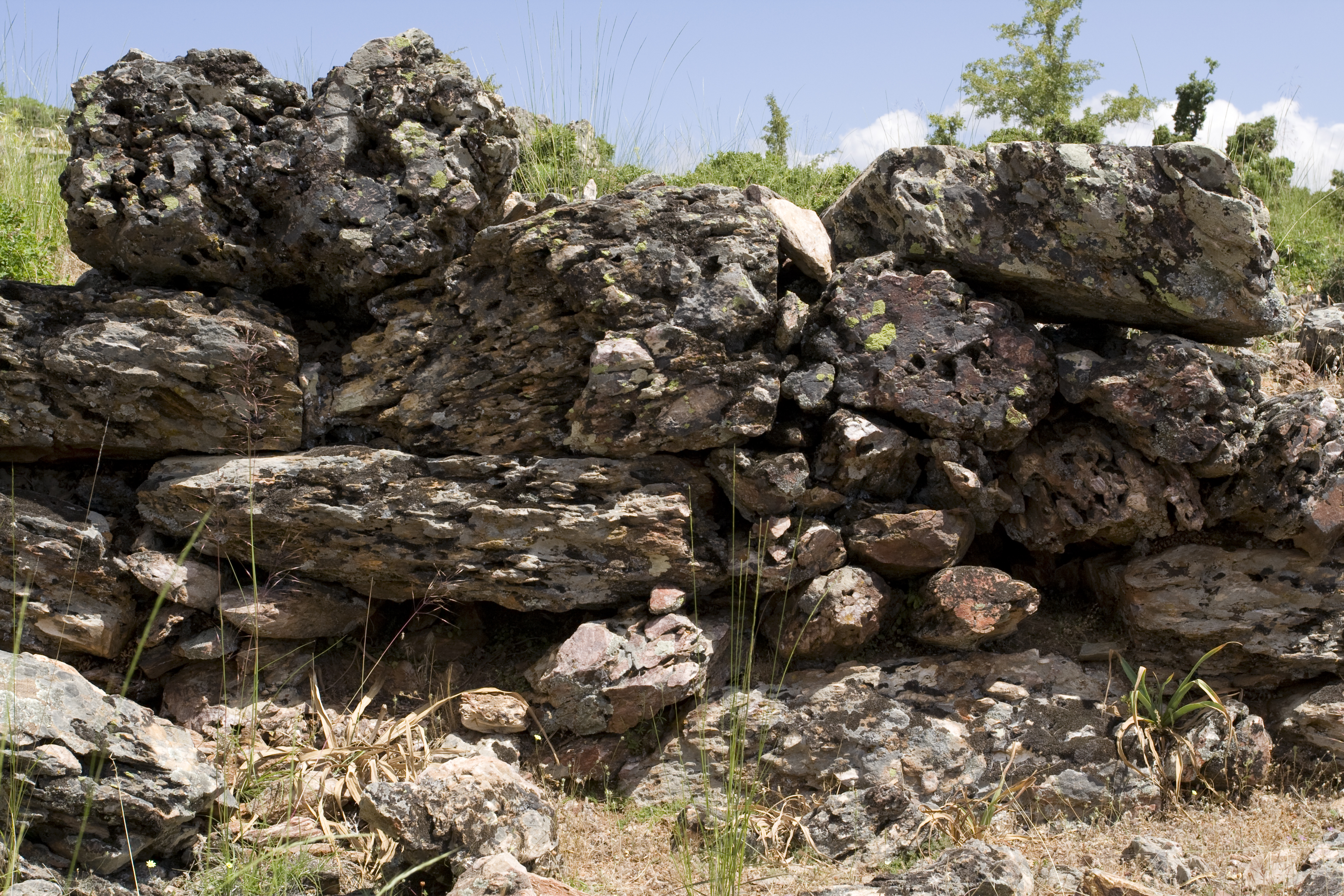
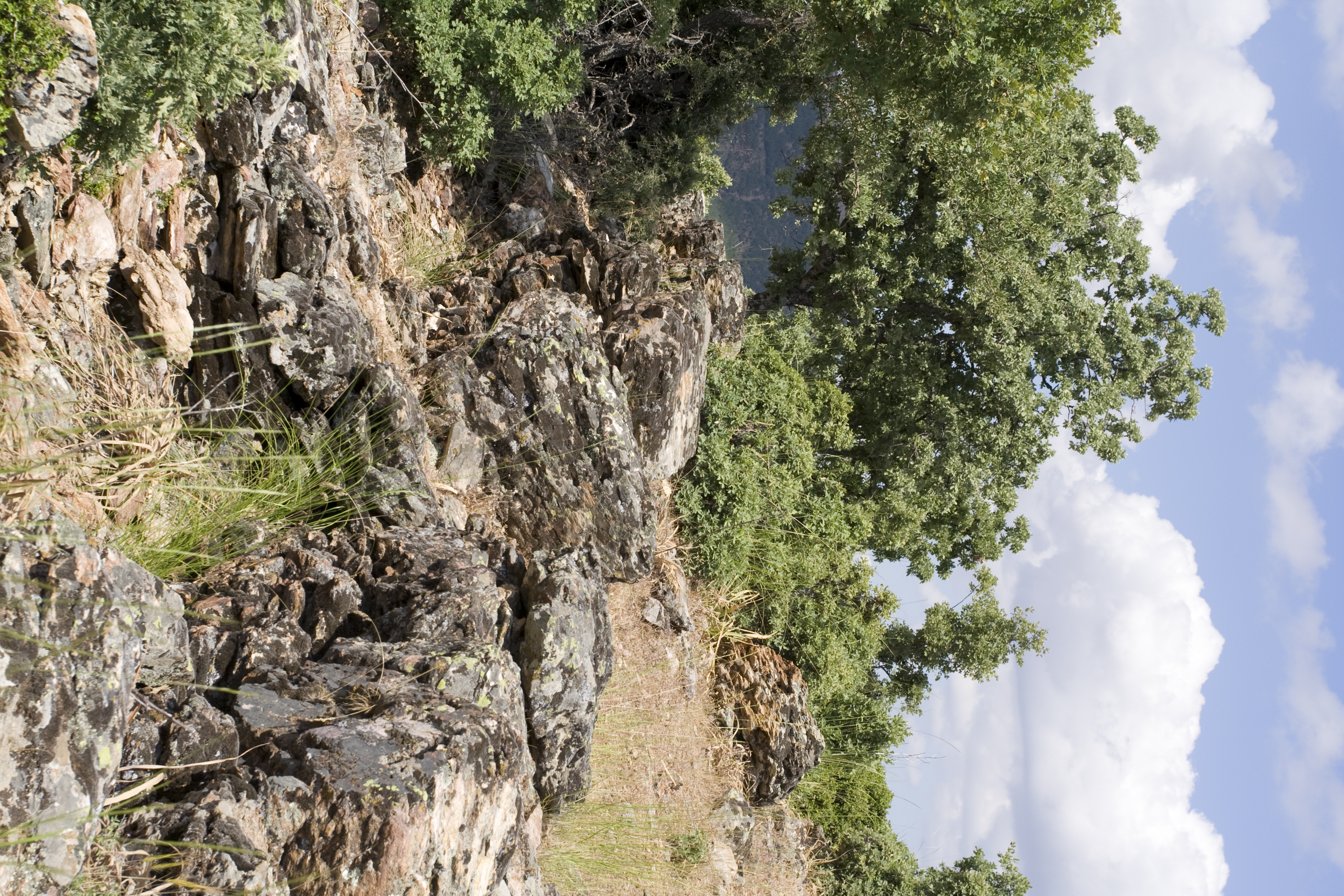
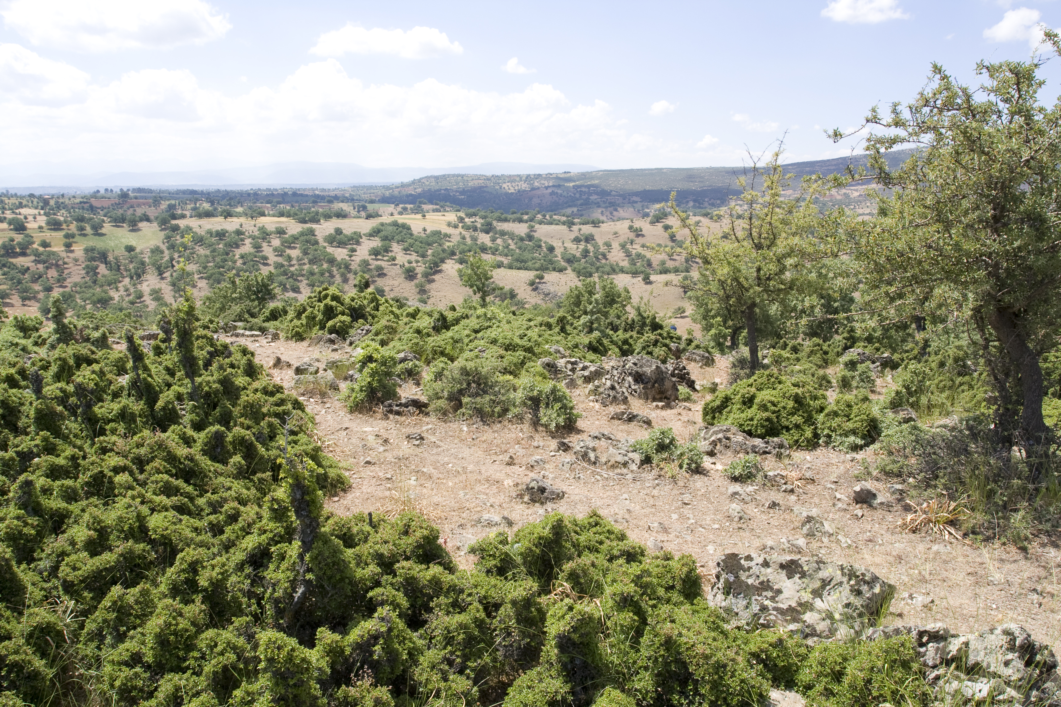
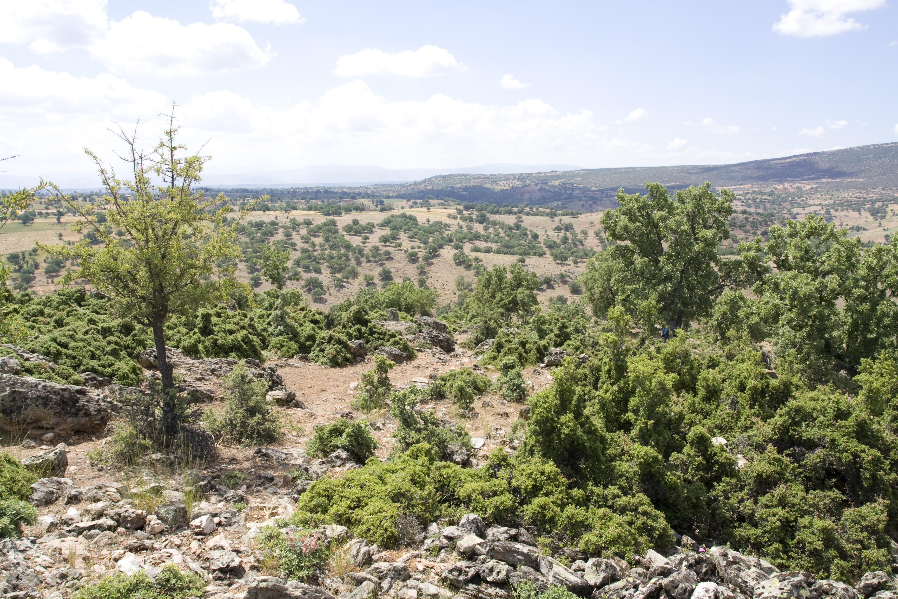
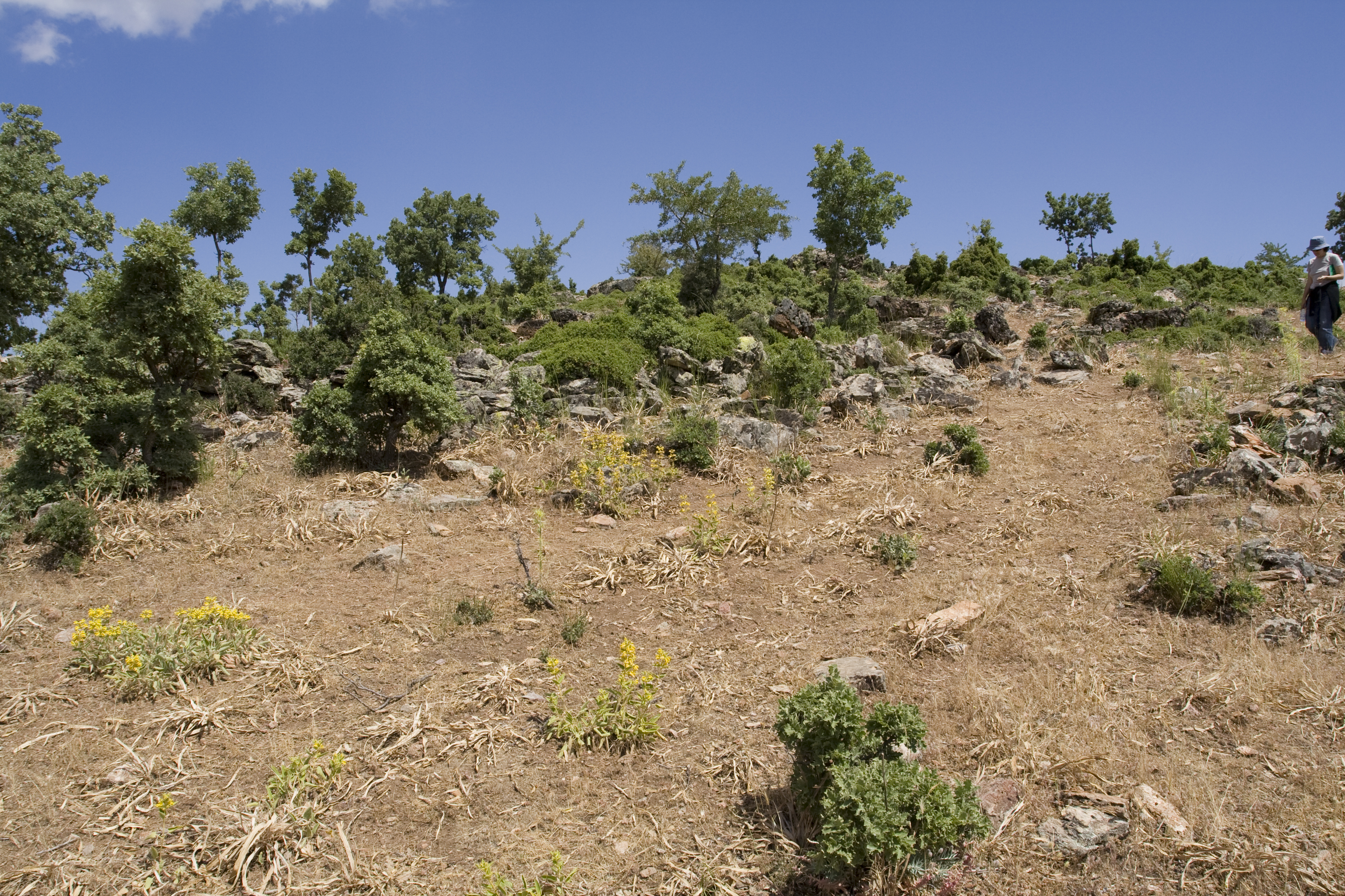
Local Name: Karakuz Kayası, between Gökçeler and Ören Local Information: A shepherd and a local farming woman both stated that there was a tower and at least one ruin in the area. Latitude: 37.38.20.658 Longitude: 28.46.52.769 Elevation: 1030.316m Dimensions: Approximately 110 by 70 m Description: Site is on a natural promontory ending in large outcropping of very porous quartz . Rows of rooms are seen on the south side of the slope oriented east-west down the slope. The walls are built of large blocks (L: 1.15m, W: 0.65m), very roughly hewn; some walls integrate natural bedrock outcroppings, which makes wall width irregular (0.70m-1.6 m; p. H: 1.6m ). At the bottom of settlement on the south slope, at least 50m from the top of the promontory, is a large curving wall which follows the contour until it meets with a quartz bedrock outcropping on west side. The plan is very regular, with three long north-south walls (W: 1.2m), loacted about 4.35 m apart, crossed by a number of east-west walls, creating many small squared rooms, indicating that the settlement was certainly planned. Not much tile or pottery is visible on the site. Finds: Finds are not especially helpful in determining the date of occupation (no imports, mostly TMW, some GCW). The construction does not appear to be typically Roman, so could be Hellenistic, or perhaps earlier. ** Systematic pottery collection conducted 18 June 2006
Types
Other
Metadata
Show full item recordCollections
Remediation of Harmful Language
The University of Michigan Library aims to describe its collections in a way that respects the people and communities who create, use, and are represented in them. We encourage you to Contact Us anonymously if you encounter harmful or problematic language in catalog records or finding aids. More information about our policies and practices is available at Remediation of Harmful Language.
Accessibility
If you are unable to use this file in its current format, please select the Contact Us link and we can modify it to make it more accessible to you.