 Access by request
C033: C033 Settlement (also "Gökçeler 2")
Aphrodisias Regional Survey
2006-06-10
View/


Citation
Page reference: Christopher Ratté and Peter D. De Staebler (eds.). Aphrodisias V. The Aphrodisias Regional Survey (Verlag Philipp von Zabern: Darmstadt/Mainz, 2012), 212. <http://hdl.handle.net/2027.42/92669>
Other Identifiers
C033
Subjects
Settlements 4: Roman 3: Hellenistic 5: Late Roman
Description
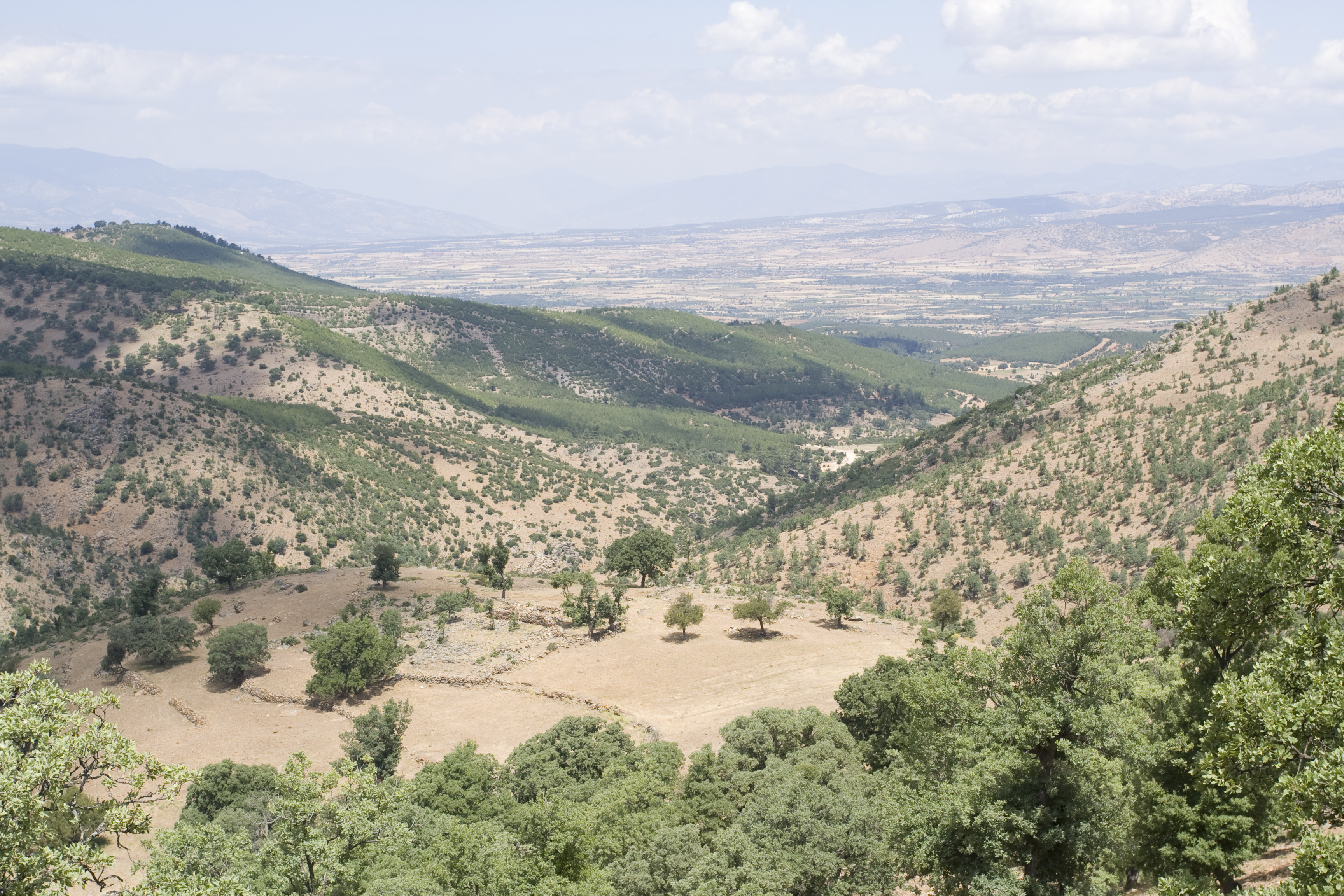
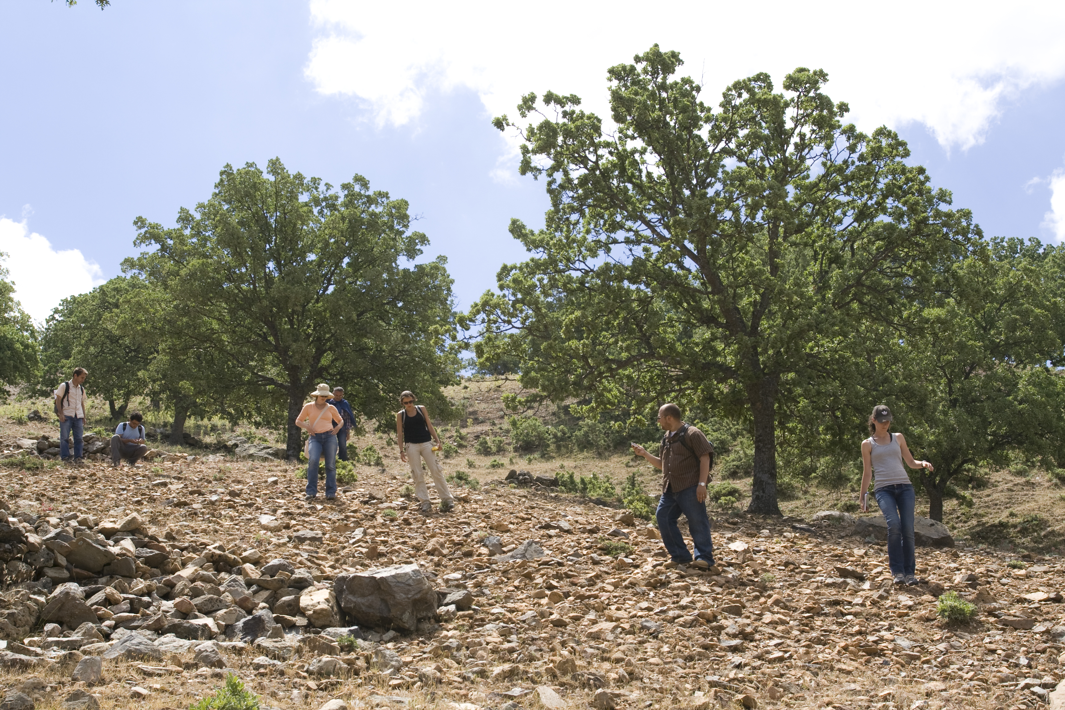
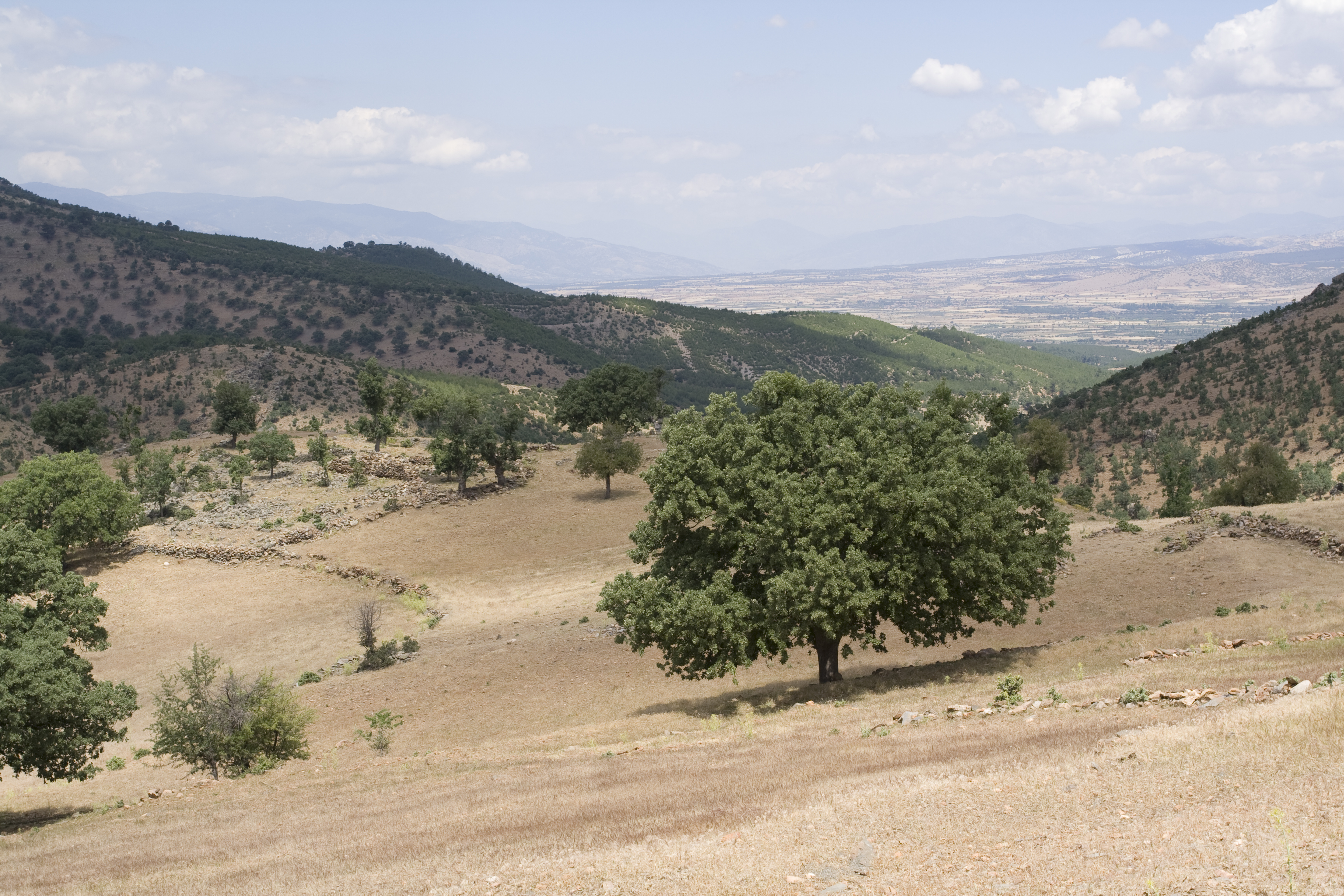
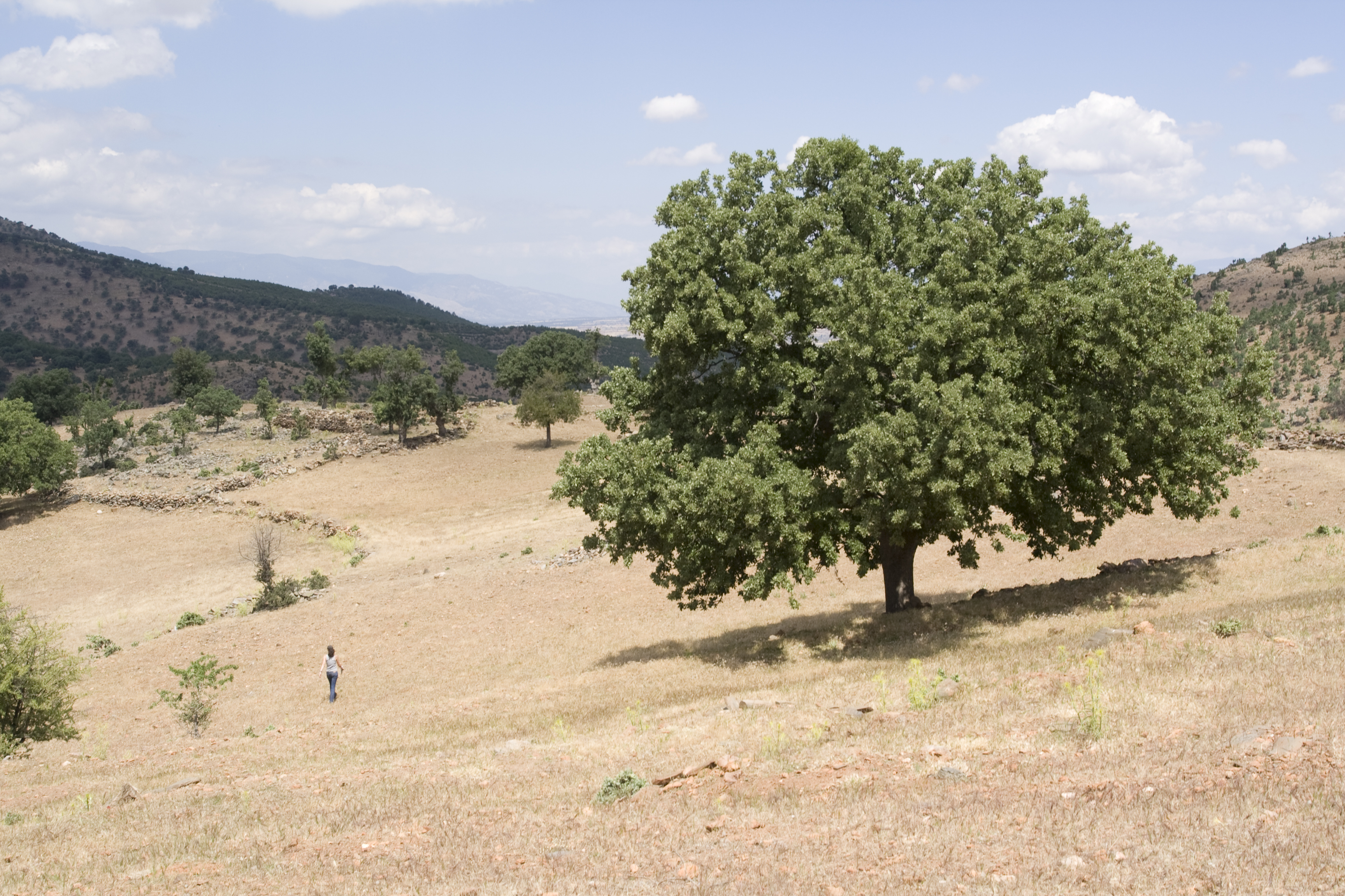
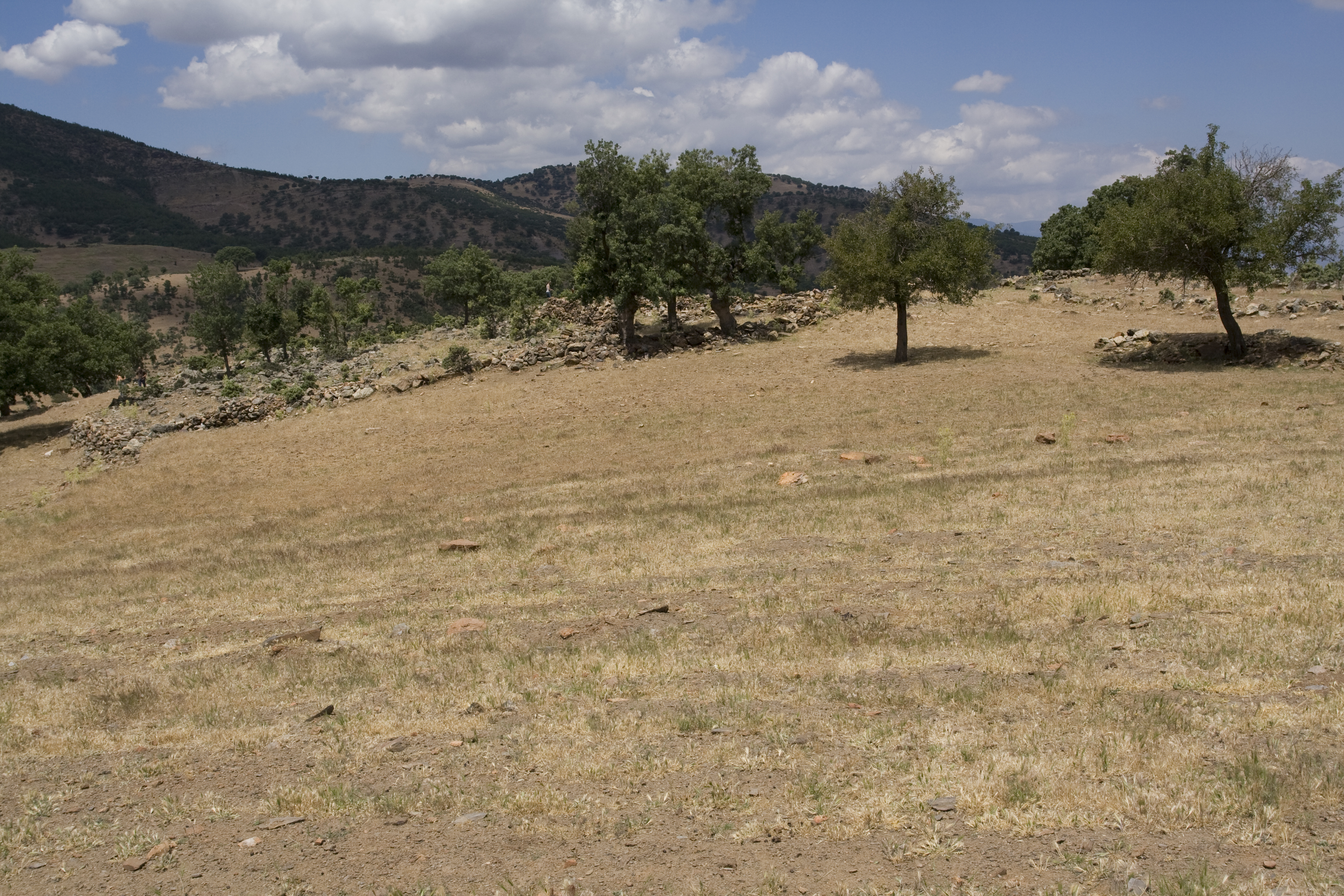
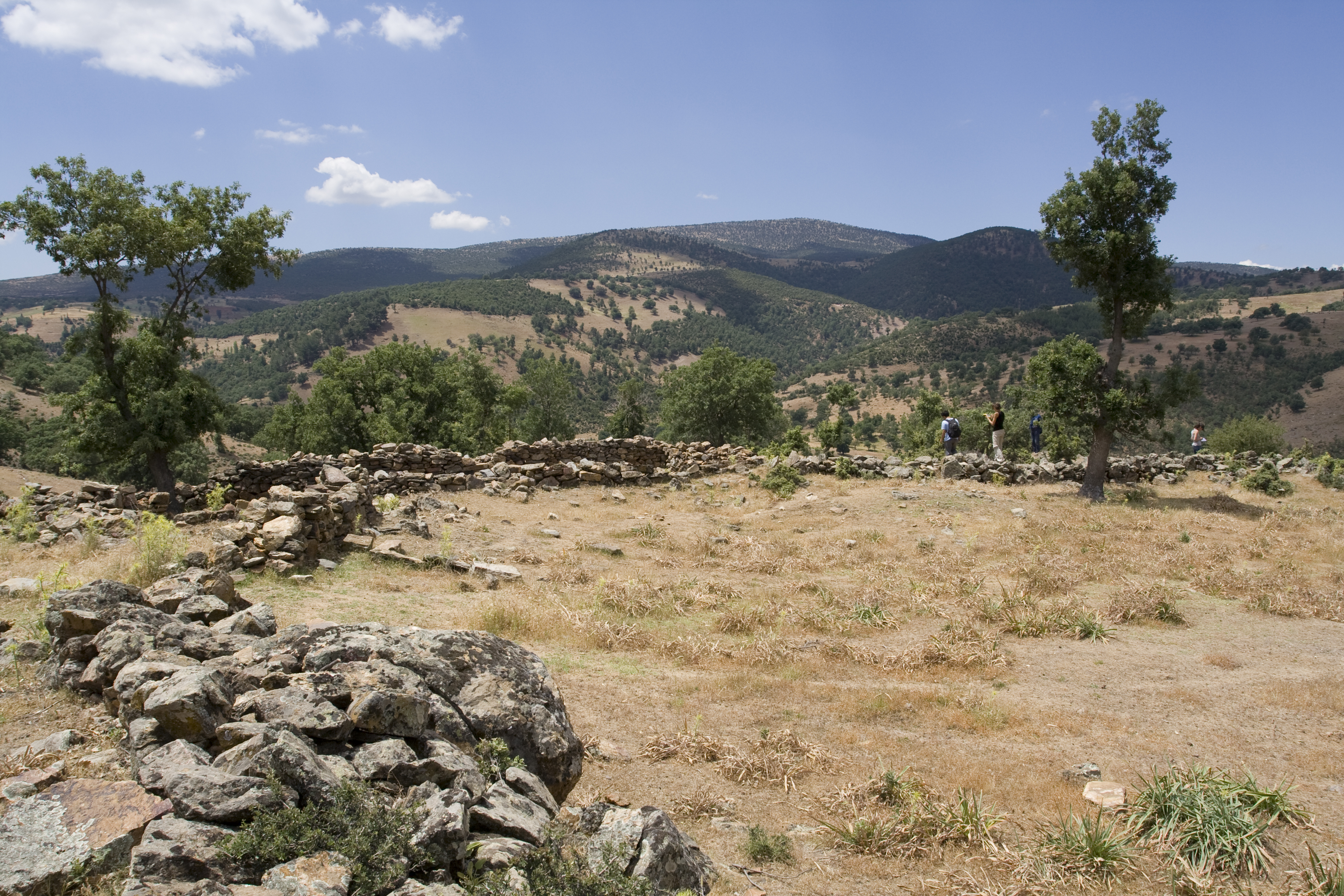
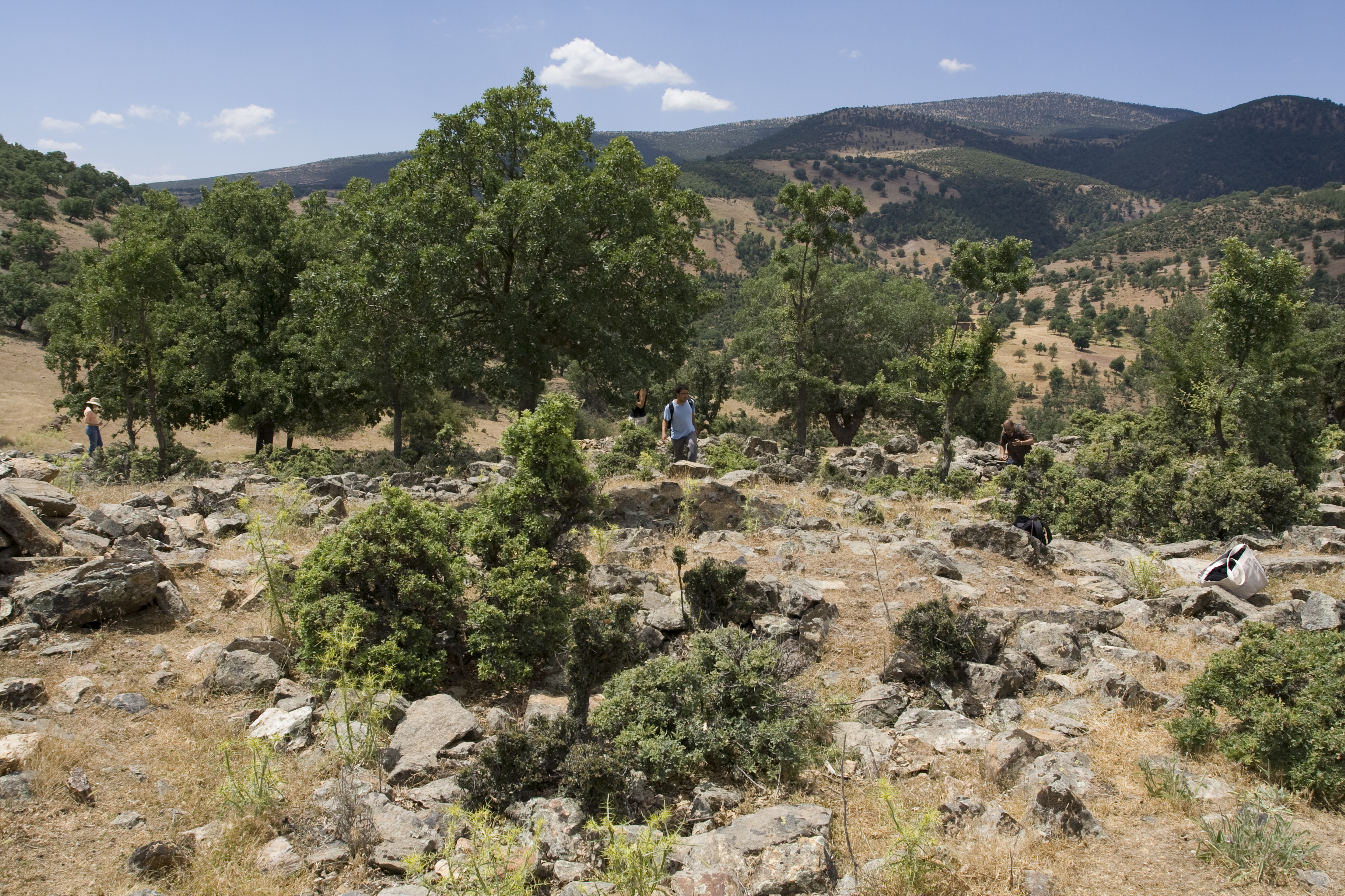
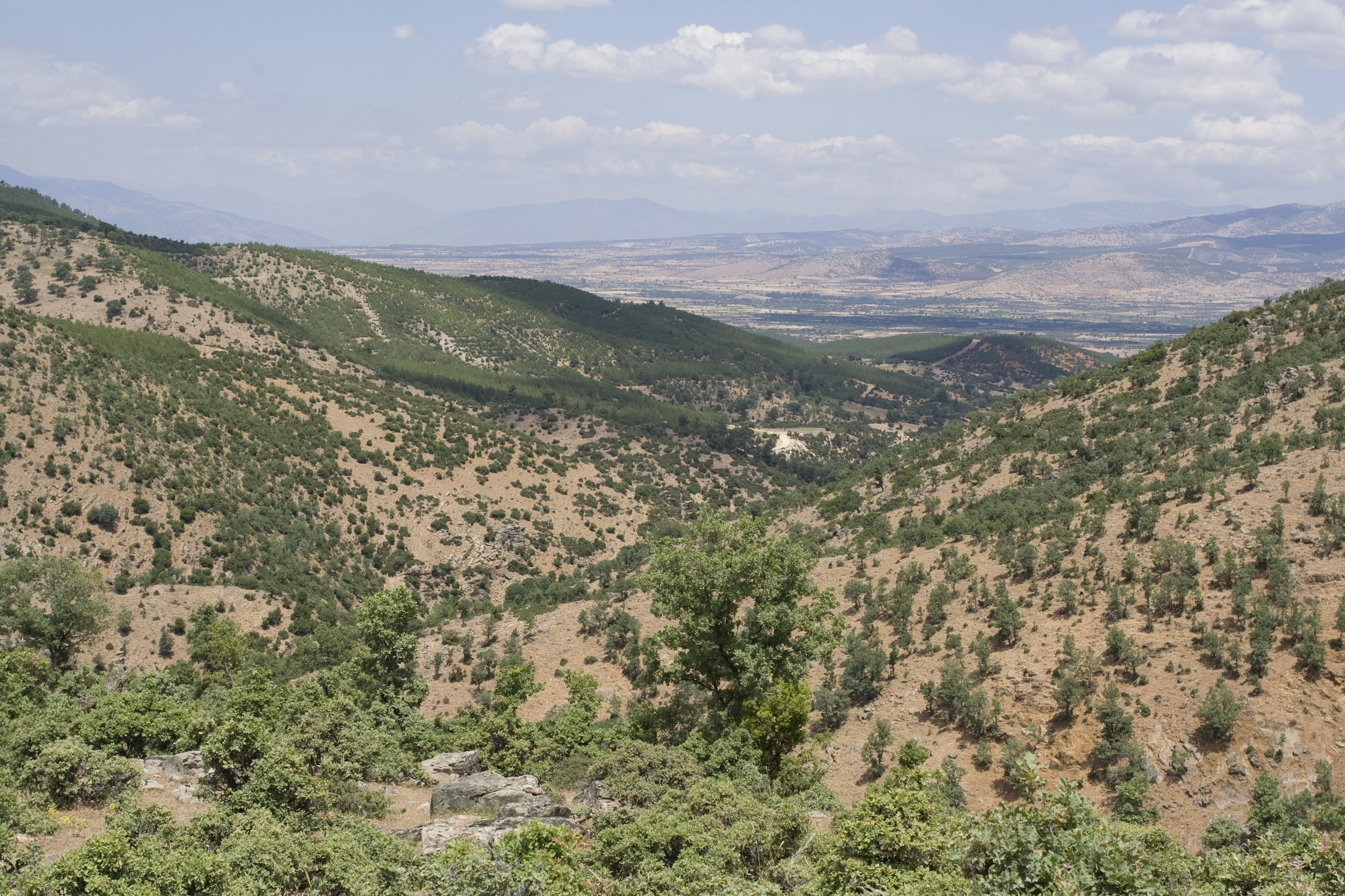
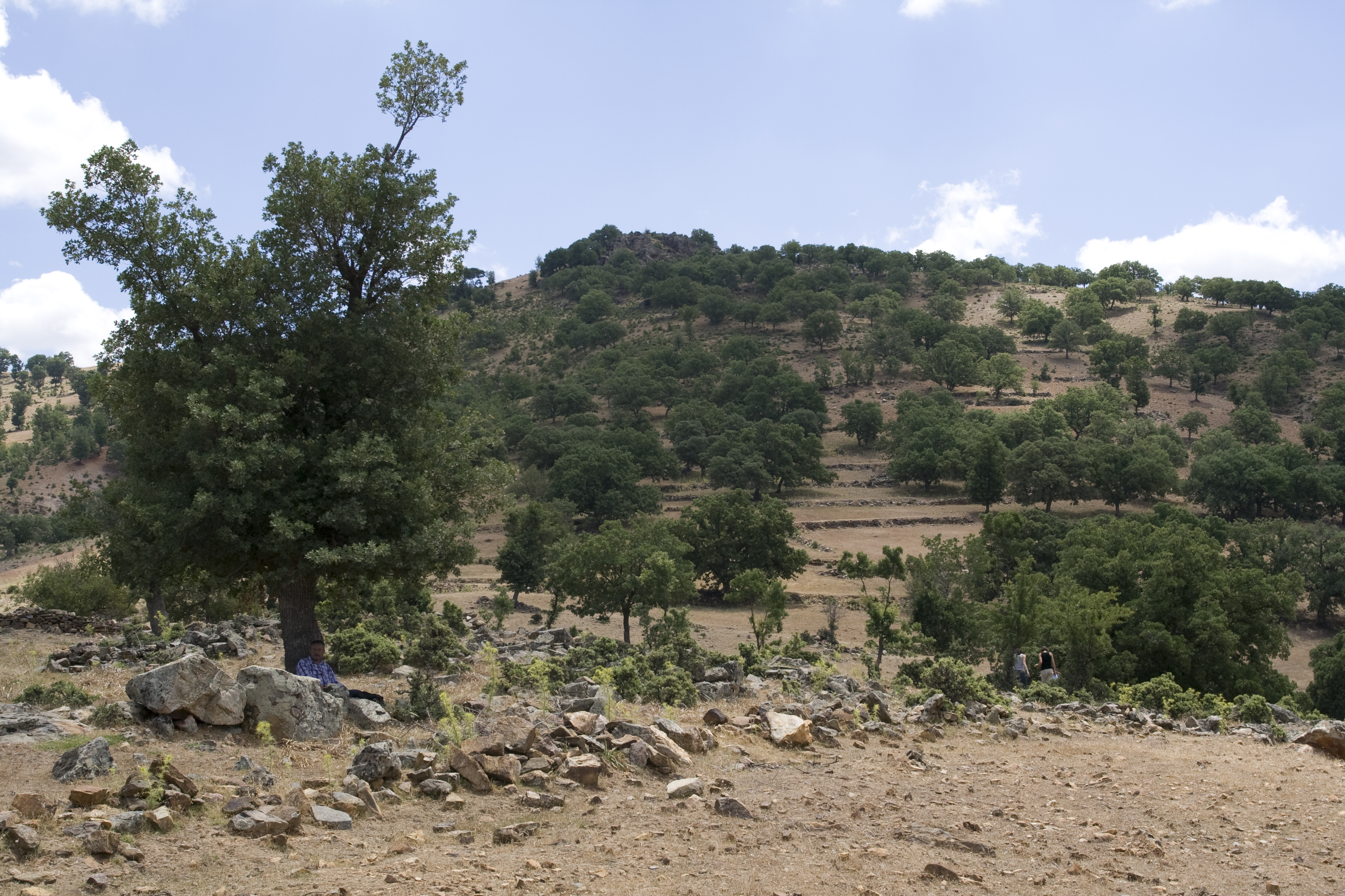
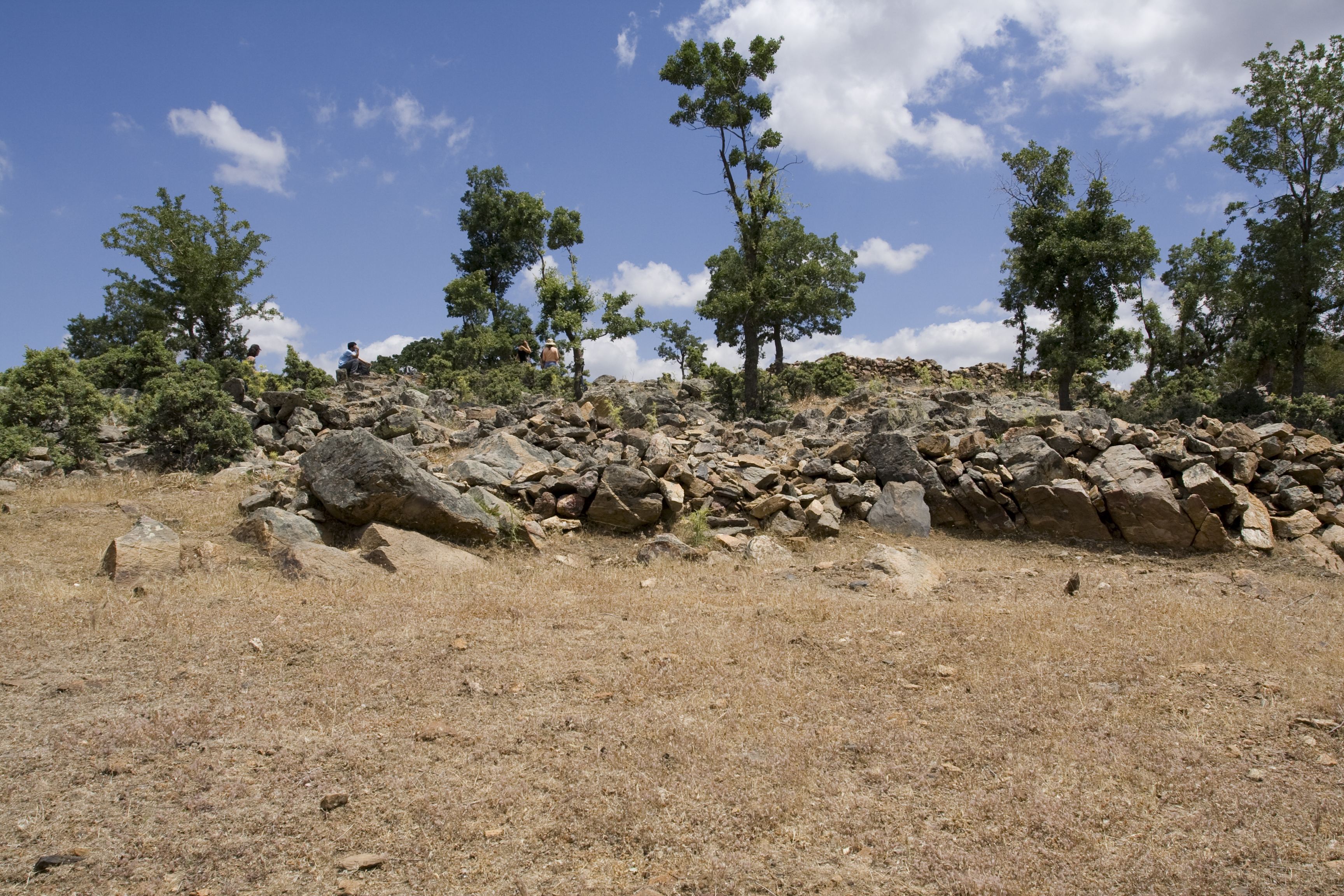
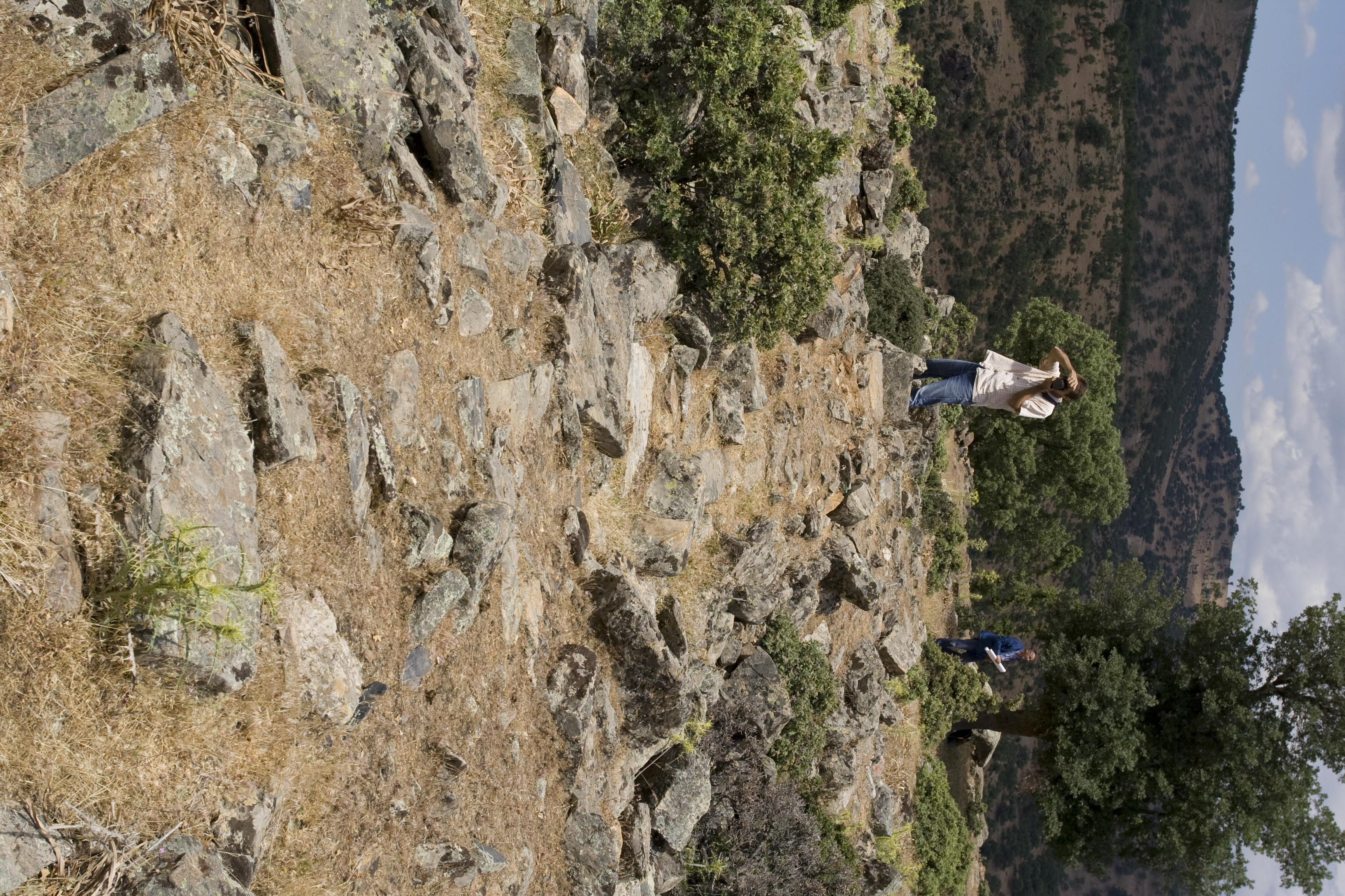
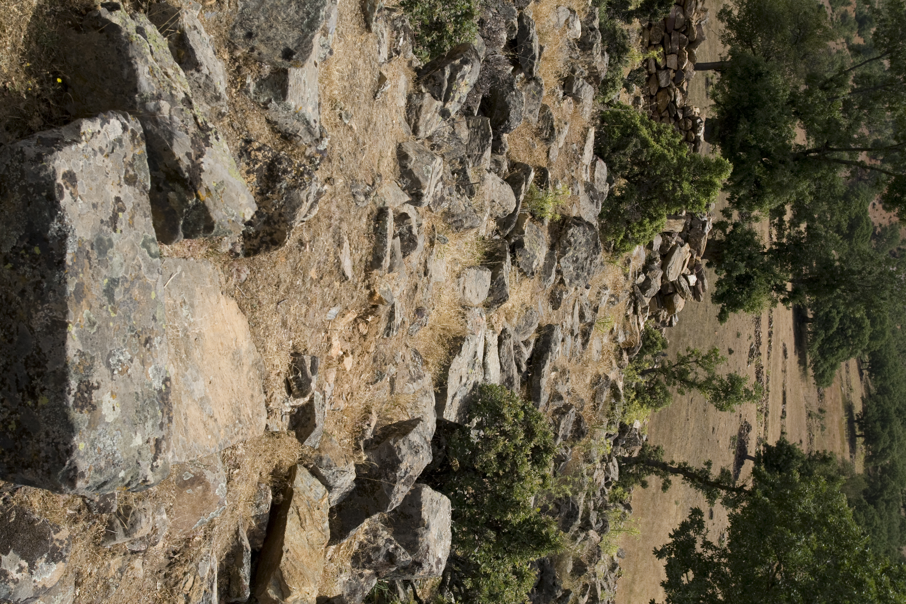
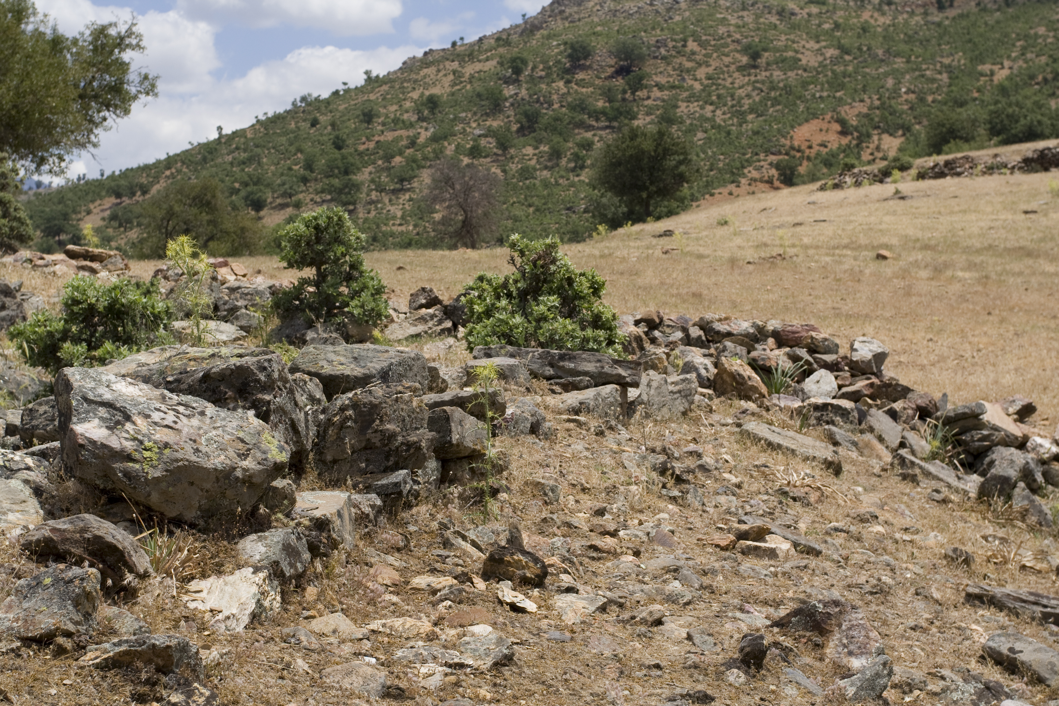
Local Name: on east bank of Koca Dere, between Gökçeler and Ören Local Information: A shepherd and a local farming woman both stated that there was a tower and at least one ruin in the area. Settlement is on the south side of a hill West of C032 on another natural promontory, but at a lower elevation. Area is full of modern sheepfolds, many of the stones probably came from the ancient settlement. Latitude: 37.38.28.927 Longitude: 28.46.29.419 Elevation: 867.17m Dimensions: Width of one Wall: 0.95m ** Typical Wall Block: Length: 0.79m; Width: at least 0.47m; Depth: at least 0.15m Description: the site is built on a roughly level natural terrace, slope drops away to north. A series of squared rooms, roughly oriented to cardinal points, many of walls fairly well preserved, constructed of low grade marble fairly well worked. Collapsed structure found within main structure, semi-circular cavity full of rubble next to a well-head that may be modern; perhaps an ancient cistern. Fair amount of tile and pottery visible. Promontory affords nice view of the valley of the Koca Dere and the Morsynus to the north, but unlikely that teh settlement could have been seen from below. No sign of fortification walls. Finds: No systematic pottery collection.
Types
Other
Metadata
Show full item recordCollections
Remediation of Harmful Language
The University of Michigan Library aims to describe its collections in a way that respects the people and communities who create, use, and are represented in them. We encourage you to Contact Us anonymously if you encounter harmful or problematic language in catalog records or finding aids. More information about our policies and practices is available at Remediation of Harmful Language.
Accessibility
If you are unable to use this file in its current format, please select the Contact Us link and we can modify it to make it more accessible to you.