 Access by request
C057: Built Tomb, "Tomb of Zelos"
Aphrodisias Regional Survey
2006-06-20
Citation
Christopher Ratté and Peter D. De Staebler (eds.). Aphrodisias V. The Aphrodisias Regional Survey (Verlag Philipp von Zabern: Darmstadt/Mainz, 2012). <http://hdl.handle.net/2027.42/92695>
Other Identifiers
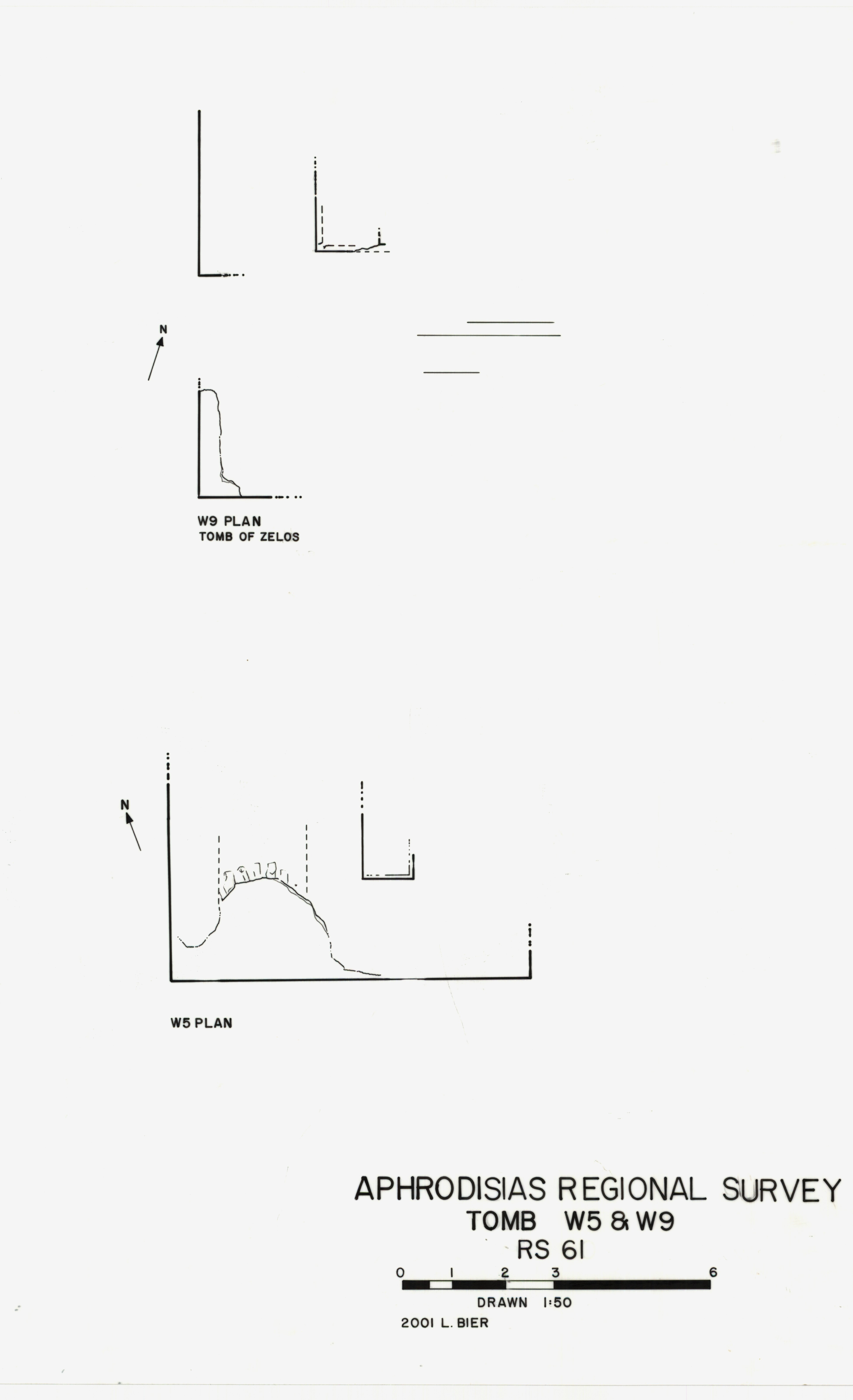
C057
Subjects
Tombs 4: Roman
Description
Local Name: Aphrodisias, West Necropolis Local Information: Field 47, West. Regional Survey 2001 no. W9 Latitude: 37.42.32.192 Longitude: 28.43.06.874 Elevation: 520m Axis: roughly N-S Description: Poorly preserved; elements of superstructure preserved in situ, no substructures visible; in a mound, about 2 m above field level; in the yard of a farm house. The remains of a monumental tomb platform lie immediately west of the City Wall. The western side is the best-preserved, with a corner-molded podium block at the south end and a second ashlar block in the course above it about 2.50 m to the north. To the west of this block and aligned with it is a corner-molded bench block with a well-finished lion paw at the outer, southwest corner. Other ashlar blocks to the north and south are aligned with this one. An inscribed block fallen immediately to the west that could be associated with this platform records the tomb of a high priest of the imperial cult dated to the earlier third century AD (IAph 2007 12.909, MAMA 564). If the two monuments can be connected, this would be one of only two tombs datable by inscription (with D118, of the bishop Theopropius). Since the City Wall is so close, it is not possible to securely associate architectural blocks in the area (or even the inscription) with this particular structure.
Types
Other
Metadata
Show full item recordCollections
Remediation of Harmful Language
The University of Michigan Library aims to describe library materials in a way that respects the people and communities who create, use, and are represented in our collections. Report harmful or offensive language in catalog records, finding aids, or elsewhere in our collections anonymously through our metadata feedback form. More information at Remediation of Harmful Language.
Accessibility
If you are unable to use this file in its current format, please select the Contact Us link and we can modify it to make it more accessible to you.