 Access by request
D169: Southeast Transect 65-68 Farmstead
Aphrodisias Regional Survey
2007-06-12
View/

Citation
Page reference: Christopher Ratté and Peter D. De Staebler (eds.). Aphrodisias V. The Aphrodisias Regional Survey (Verlag Philipp von Zabern: Darmstadt/Mainz, 2012), 28, 71, 85, 123, 125, 132, 133 - Book catalogue no.: Int. Survey cat. 27. <http://hdl.handle.net/2027.42/92896>
Other Identifiers
D169
Subjects
Farmsteads 4: Roman 5: Late Roman
Description
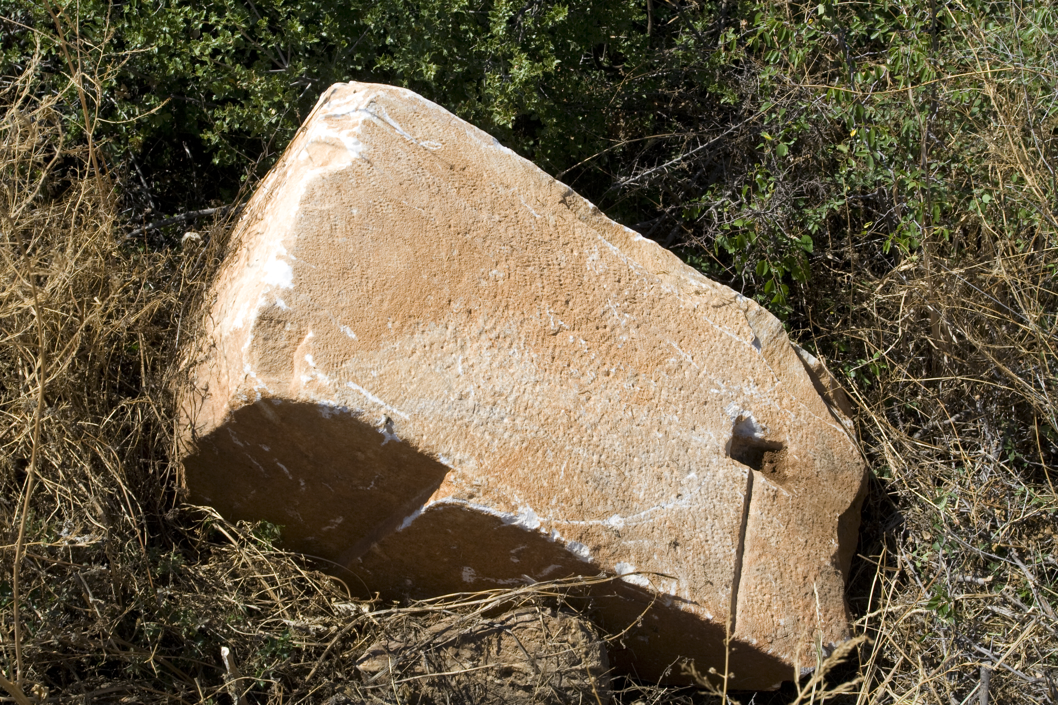
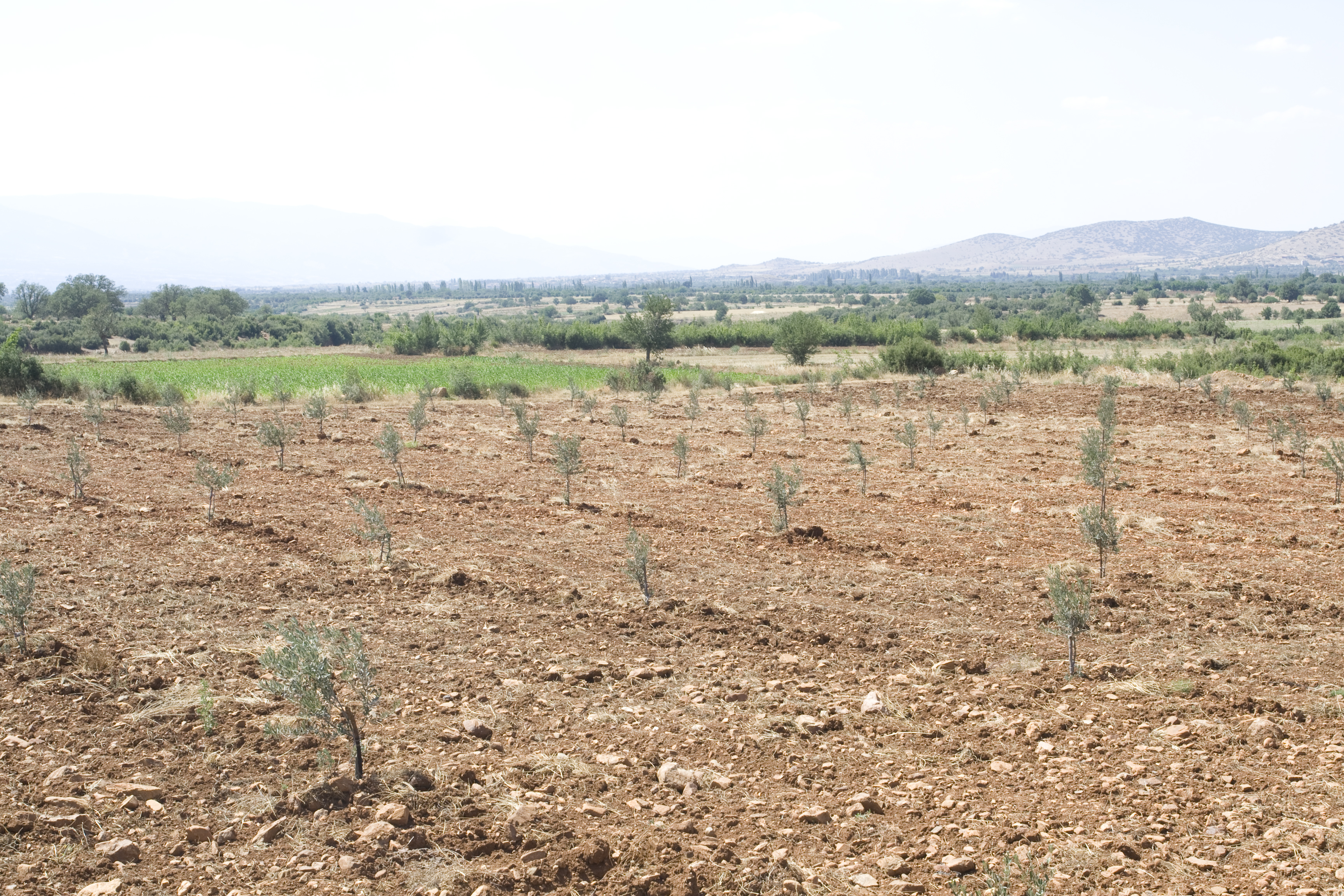
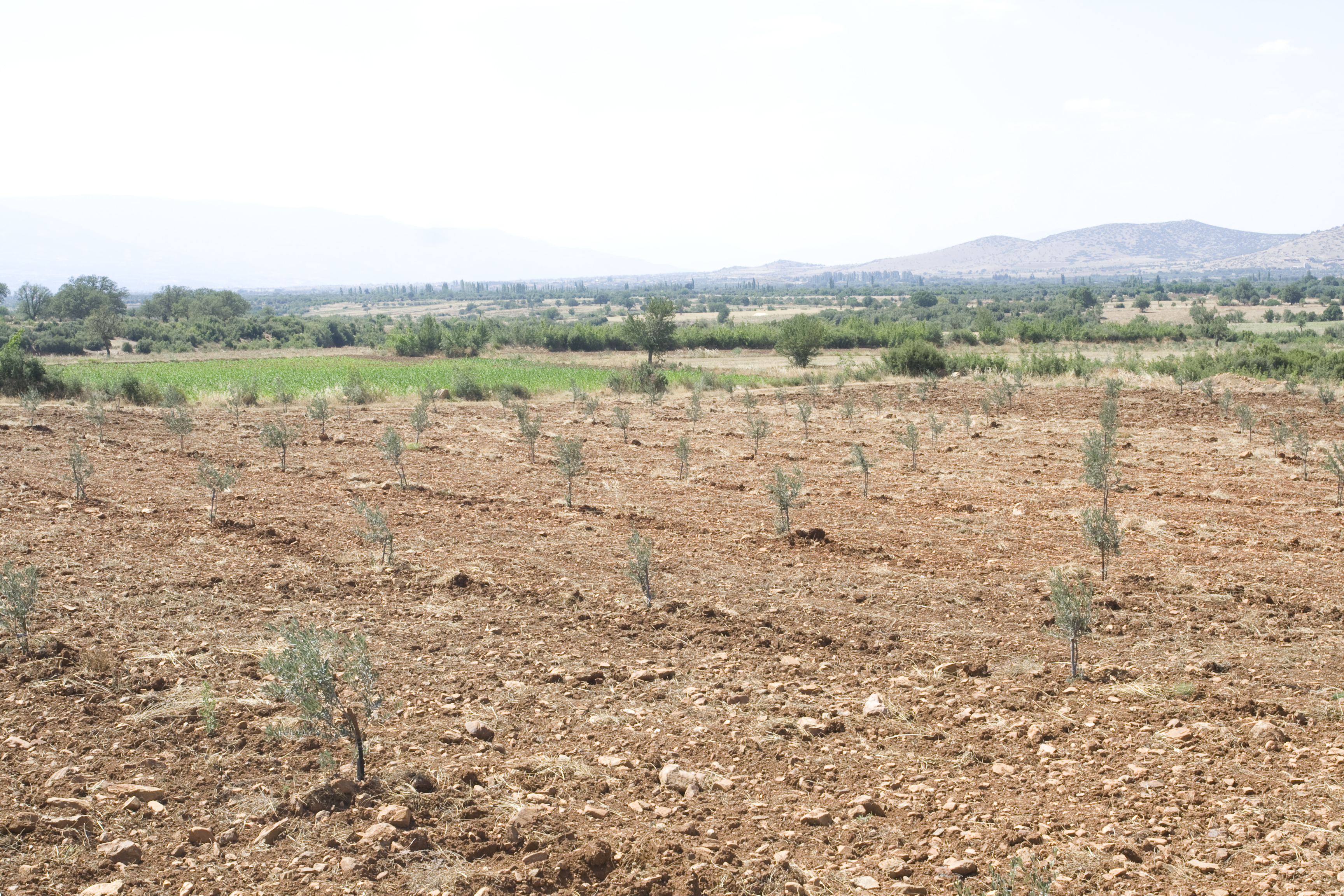
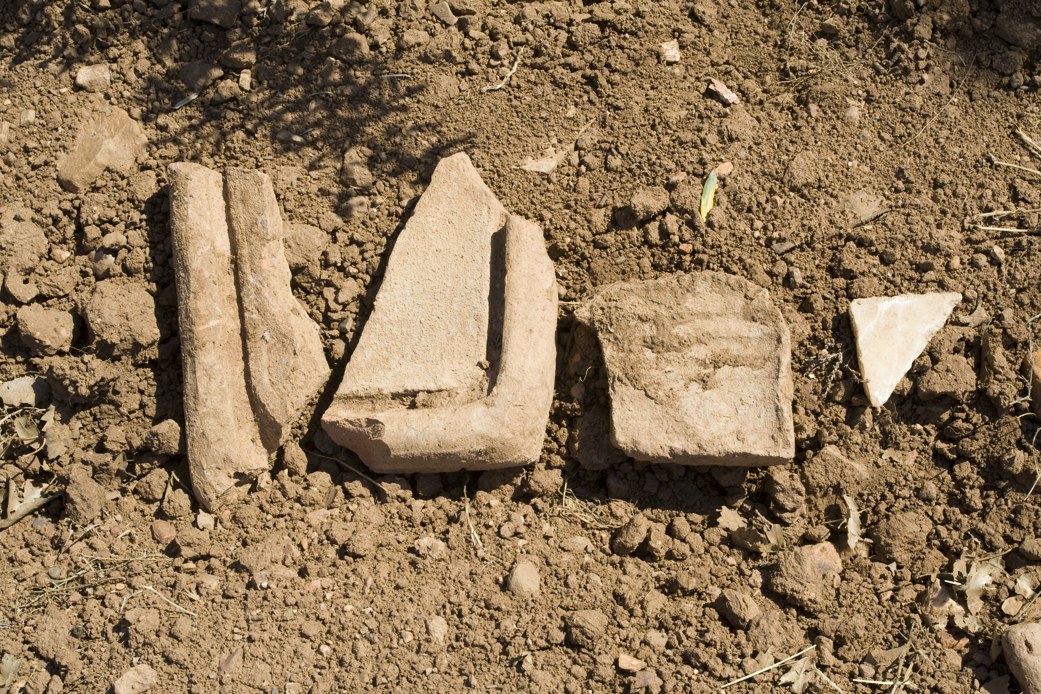
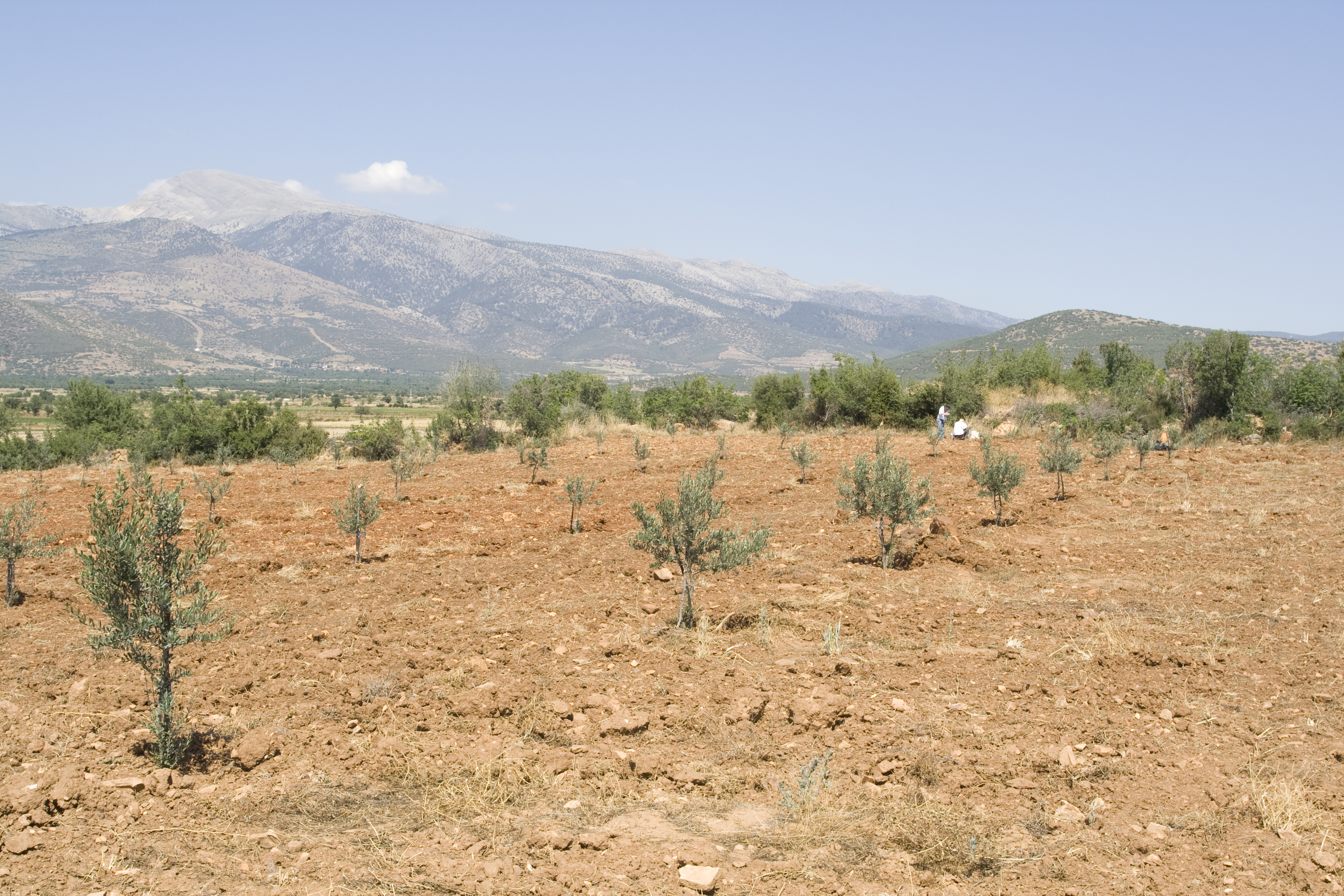
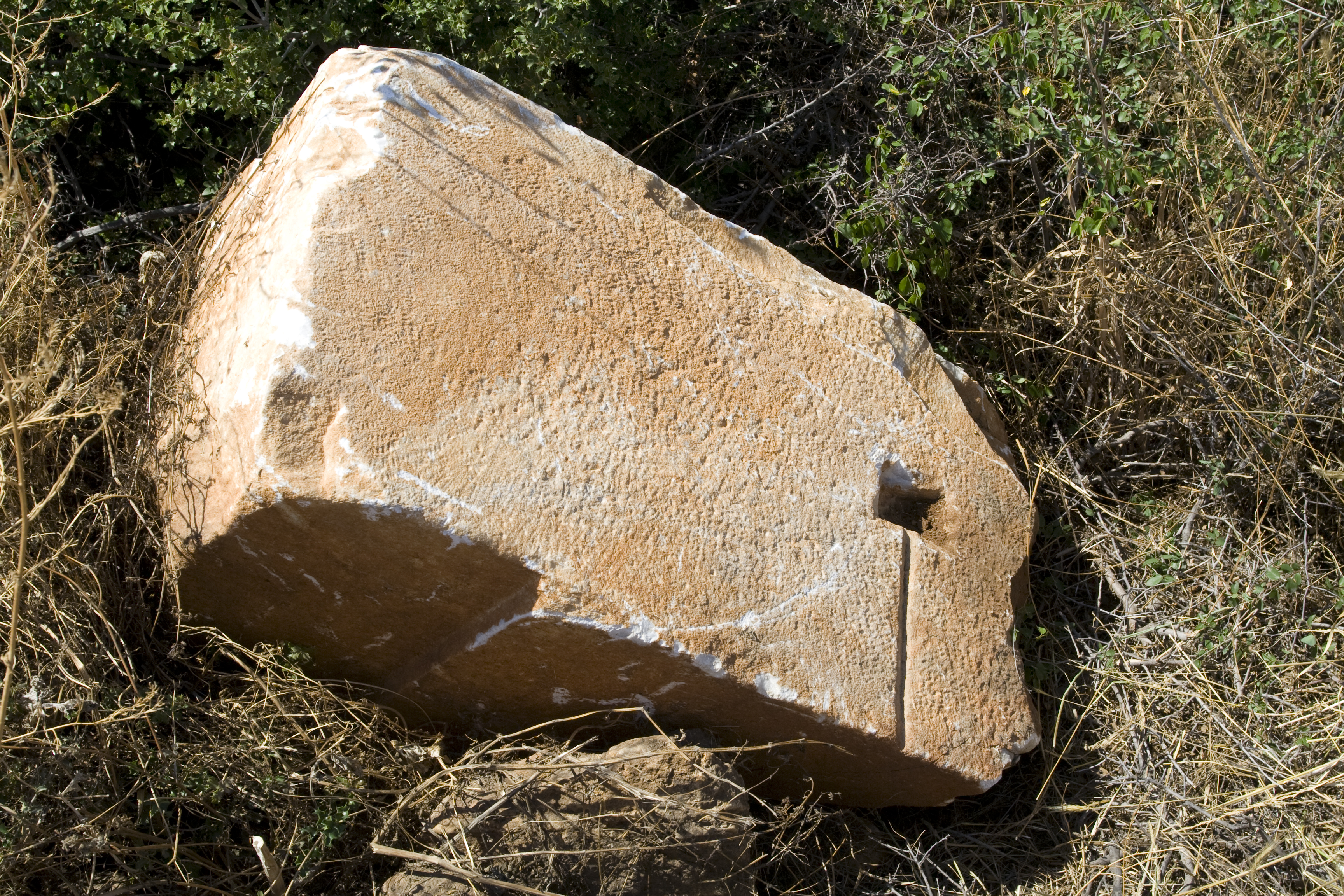
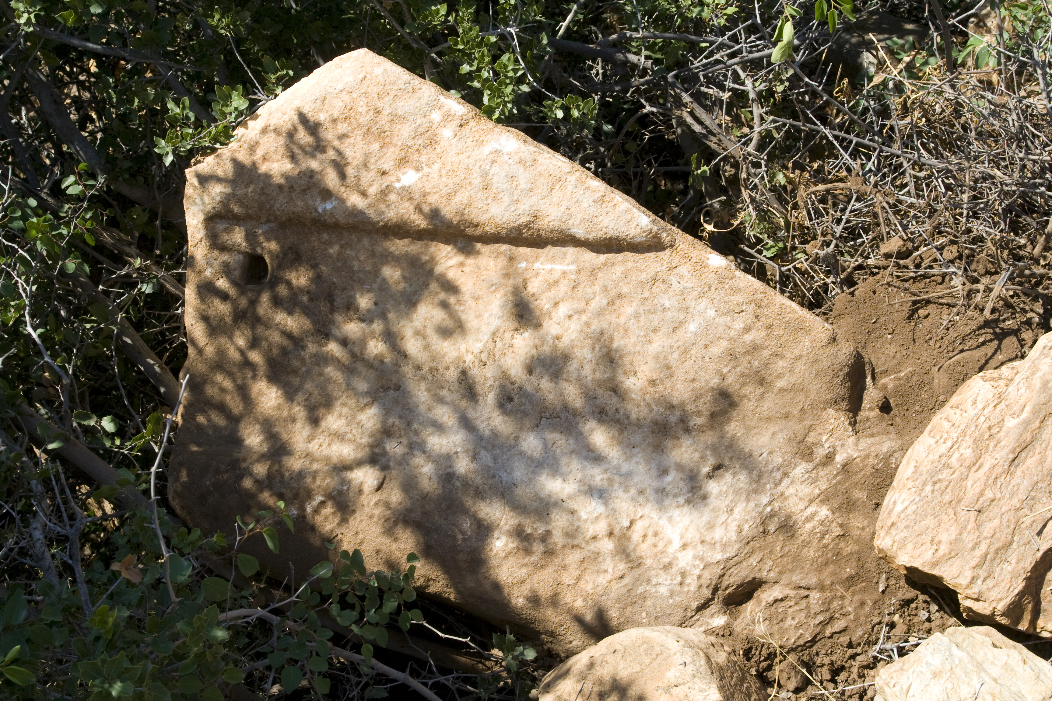
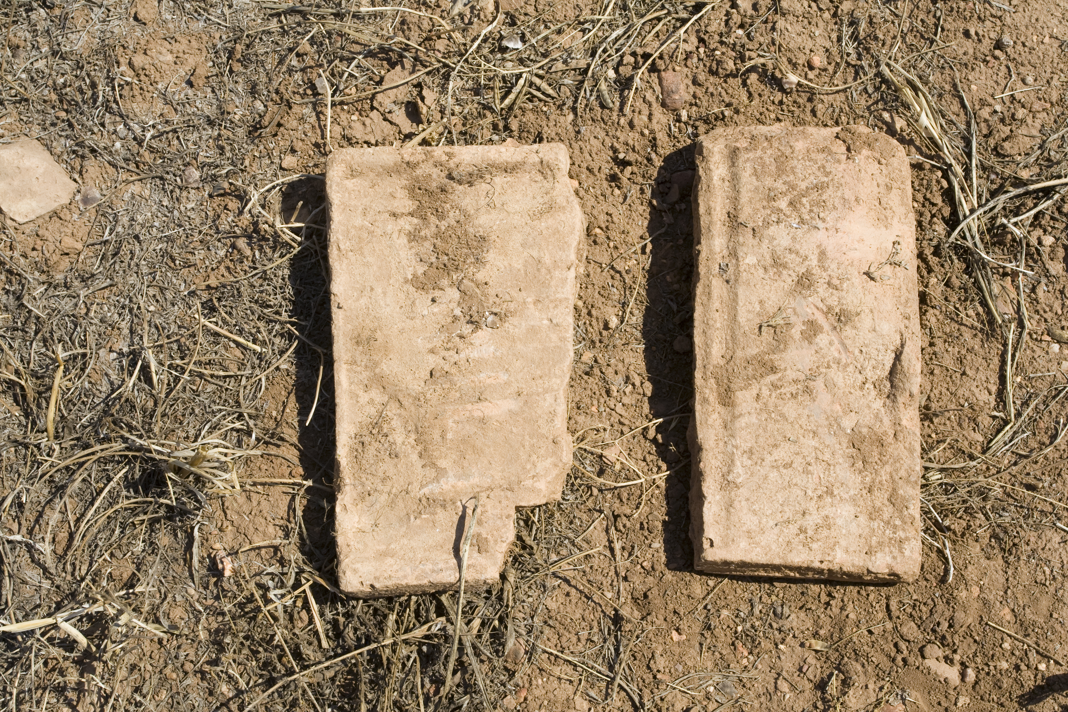
Local Information: Southeast Transect, Grid 66-67 Latitude: 37.40.46.8 Longitude: 28.45.34.8 Elevation: 568m Description: Farmsted seen in the area of SE Transect Grid Units 66 and 67, which are covered in tile, brick and ceramics fragments. The fields are surrounded by high stone field walls, mostly of field stones, some marble, some worked. In the west field wall of SE66 is massive worked marble block with anathyrosis on 1 face, a cutting with a pour channel on another, and a 3rd finely worked side which cuts in at the top. Also seen here is a fragment of a threshold block. Pottery collected suggest occupation dates here similar to the urban occupation period at Aphrodisias, with a predominance of later material (High Imperial to Late Roman). Finds: Brick fragments very large [Full Length: 0.31m; Width: 0.18m; Thickness: 0.035m] ** Systematic pottery collection on 5/25/2008
Types
Other
Metadata
Show full item recordCollections
Remediation of Harmful Language
The University of Michigan Library aims to describe its collections in a way that respects the people and communities who create, use, and are represented in them. We encourage you to Contact Us anonymously if you encounter harmful or problematic language in catalog records or finding aids. More information about our policies and practices is available at Remediation of Harmful Language.
Accessibility
If you are unable to use this file in its current format, please select the Contact Us link and we can modify it to make it more accessible to you.