 Access by request
D172: Southeast Transect Settlement
Aphrodisias Regional Survey
2007-06-16
View/


Citation
Page reference: Christopher Ratté and Peter D. De Staebler (eds.). Aphrodisias V. The Aphrodisias Regional Survey (Verlag Philipp von Zabern: Darmstadt/Mainz, 2012), 26, 36, 71, 85, 223. <http://hdl.handle.net/2027.42/92899>
Other Identifiers
D172
Subjects
Settlements 3: Hellenistic 2: Protohistoric 4: Roman
Description
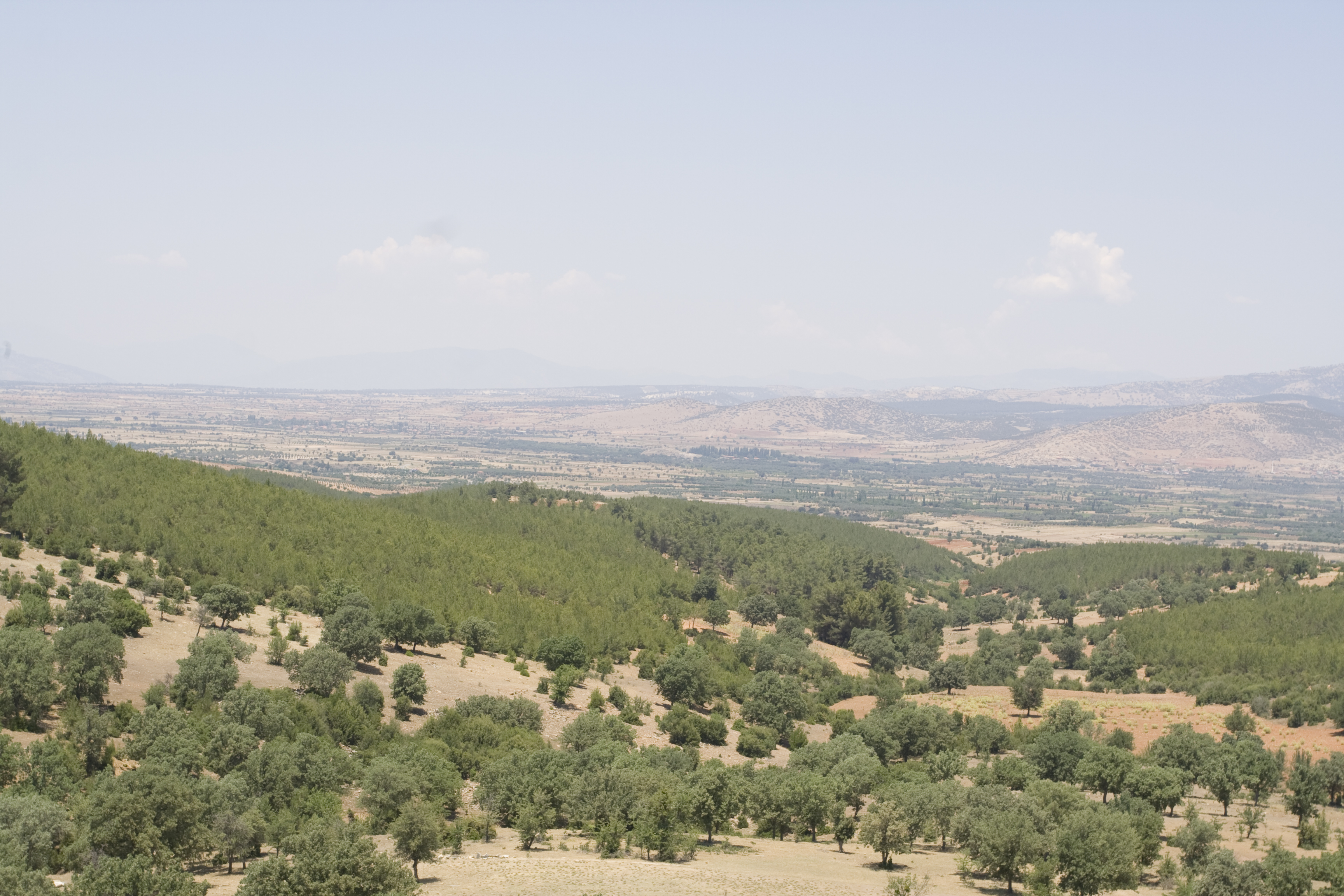
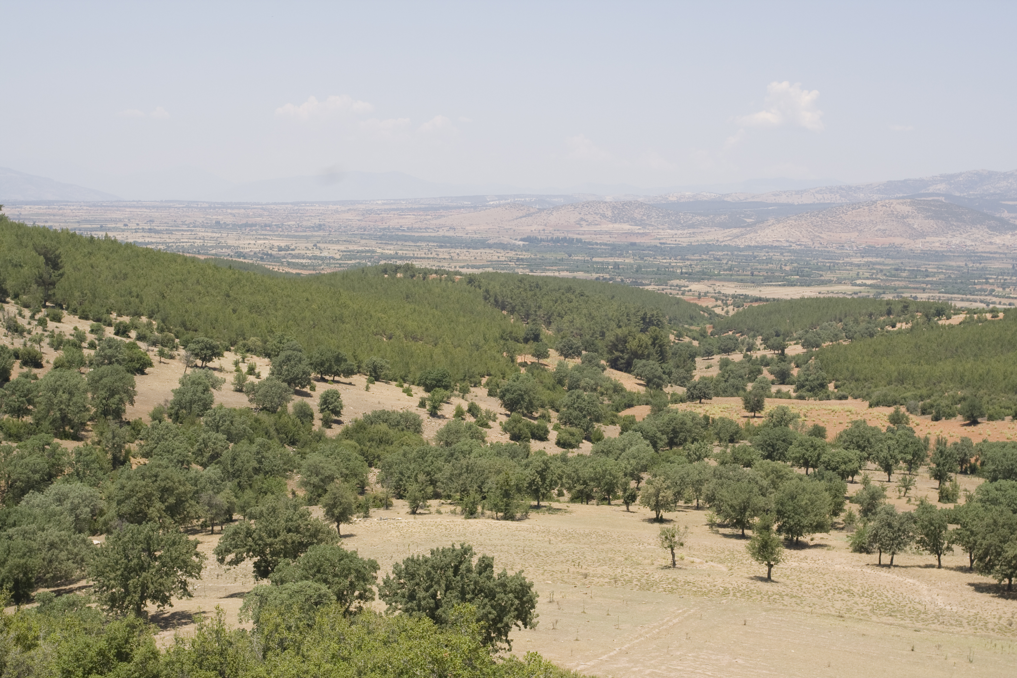
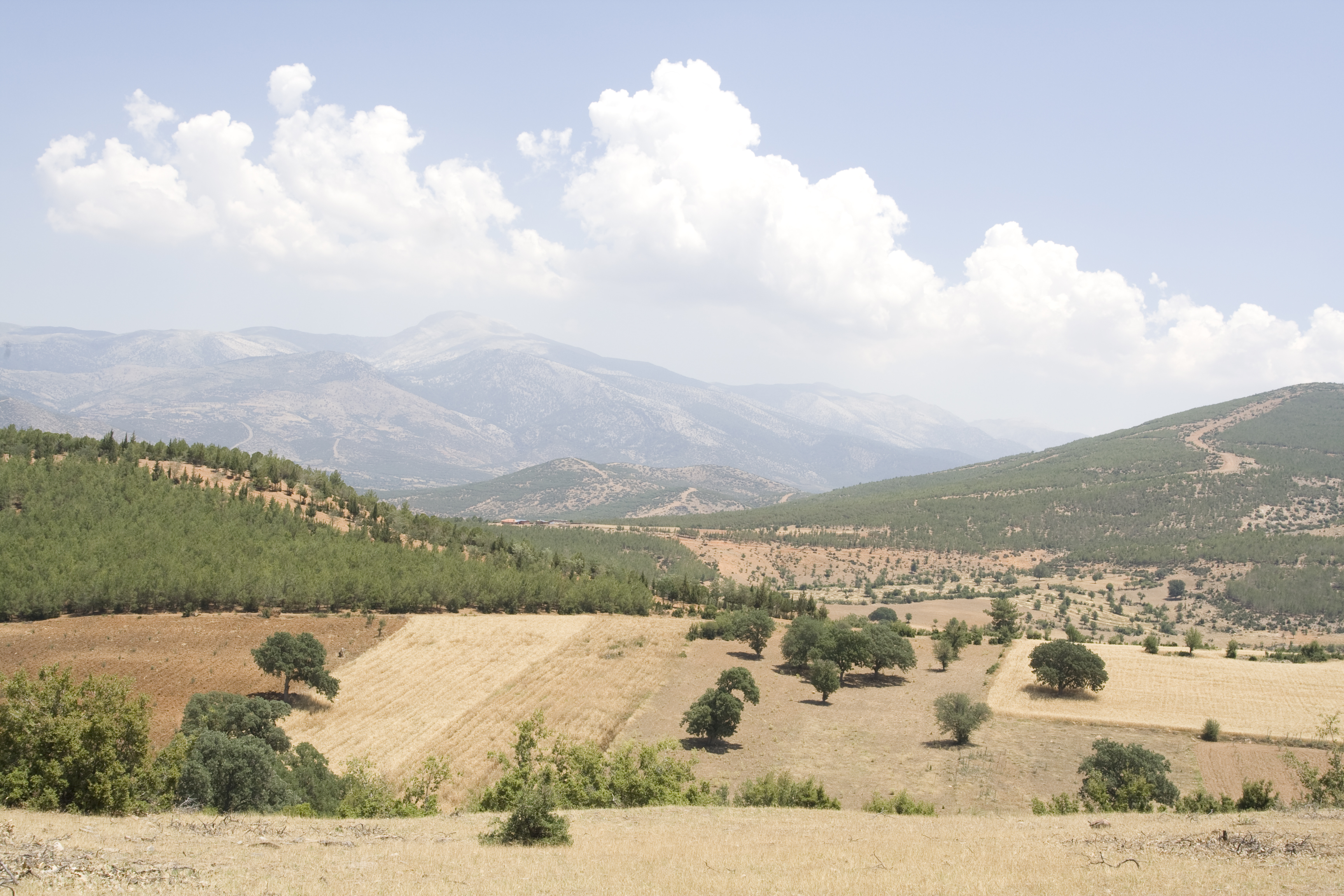
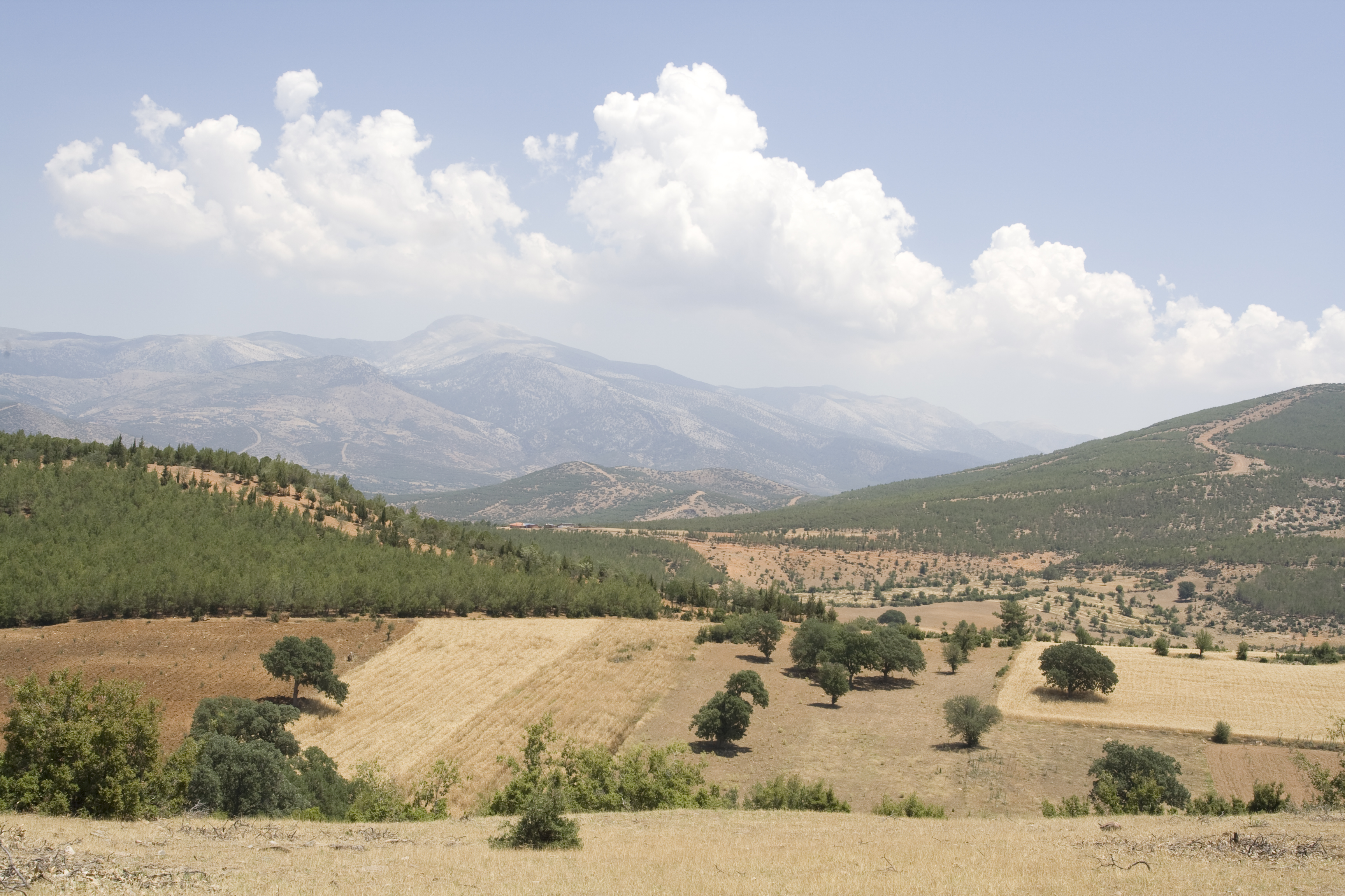
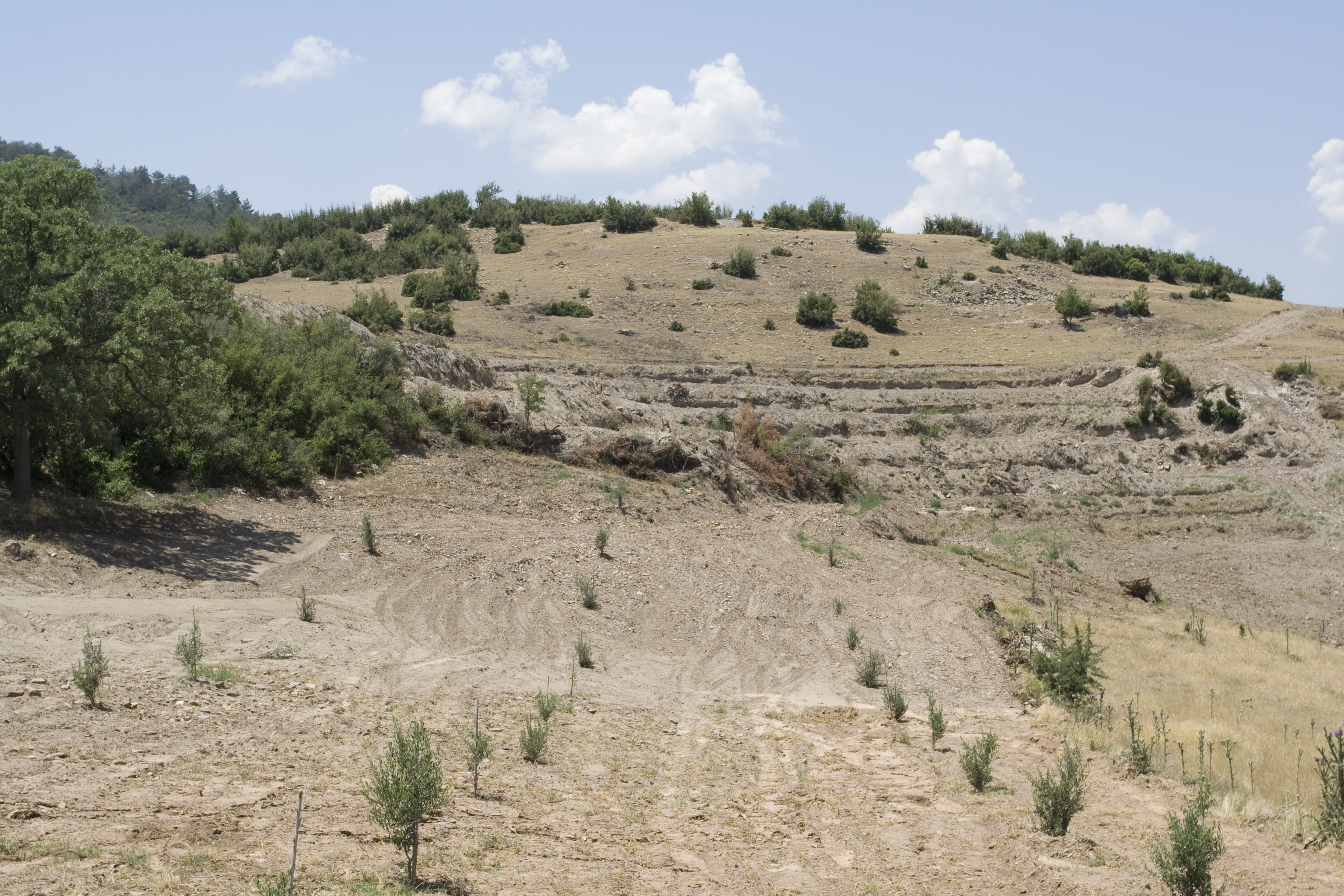
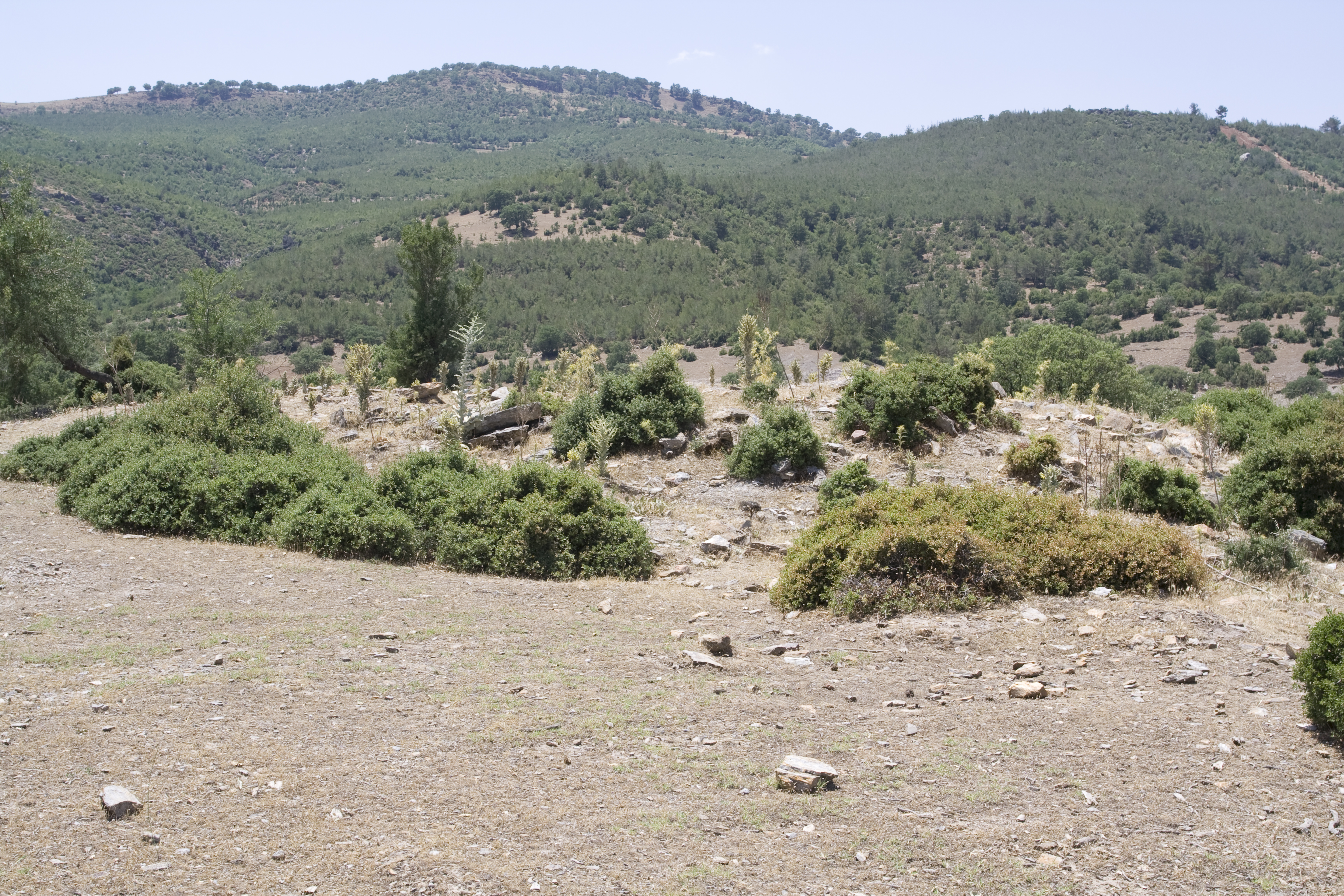
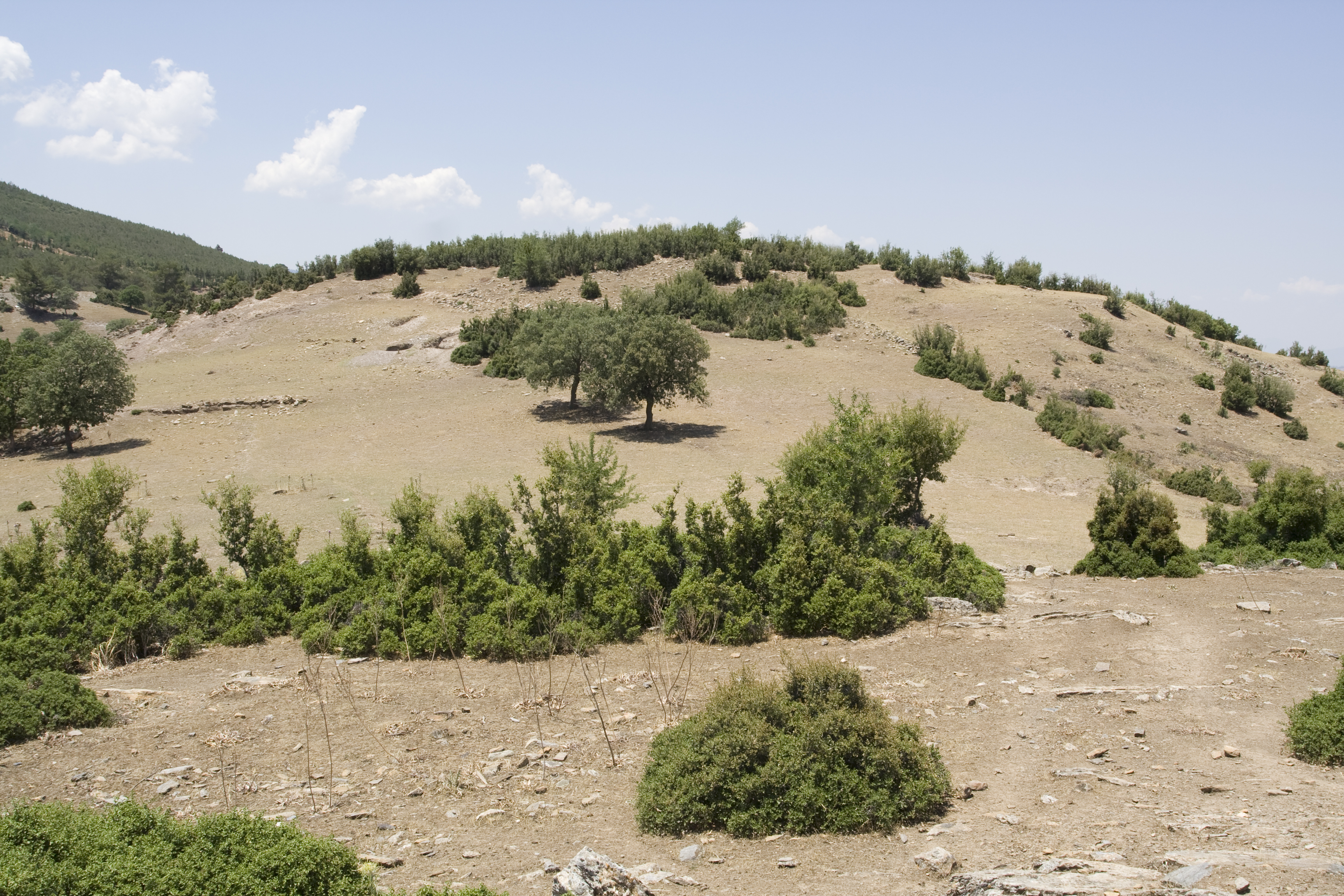
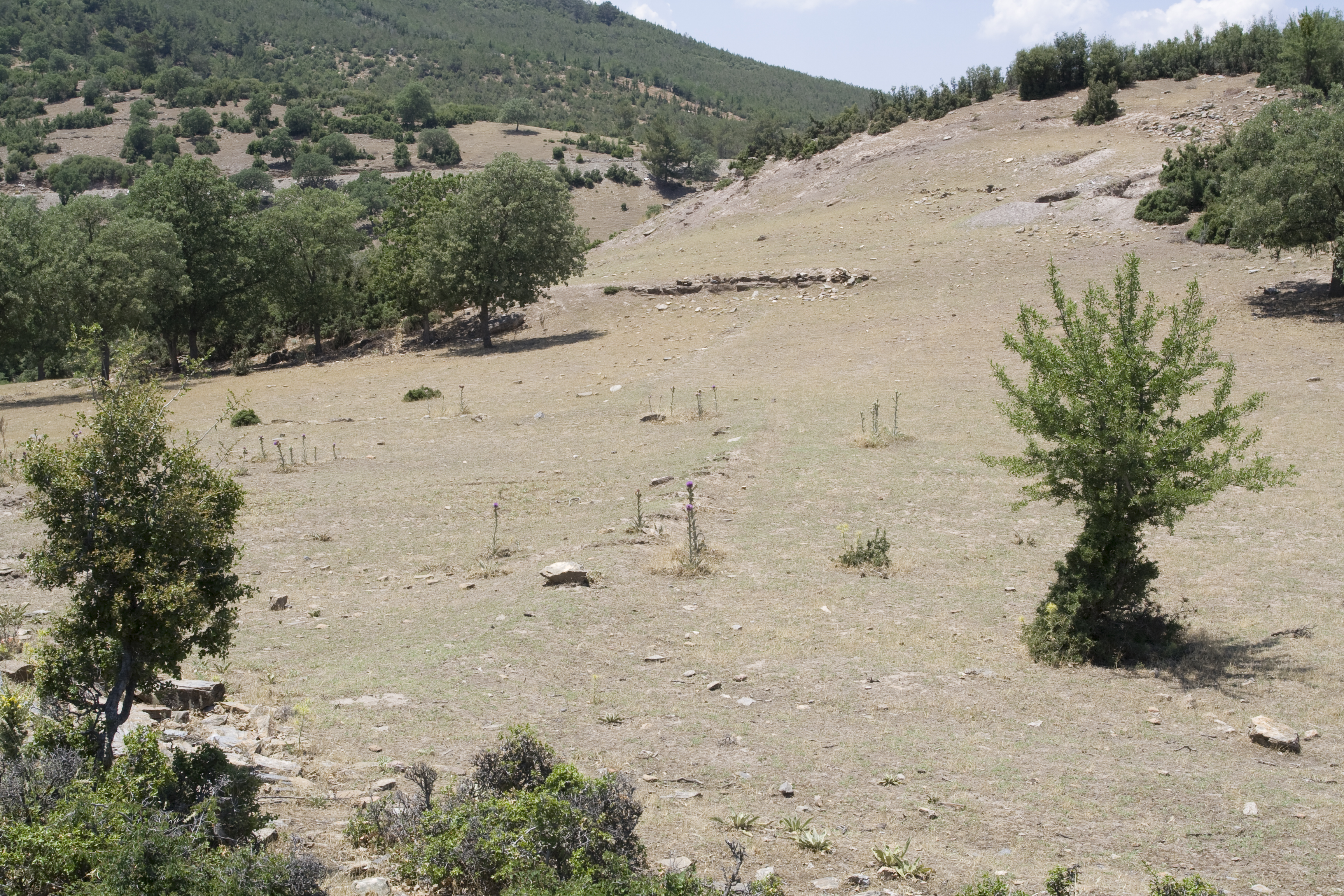
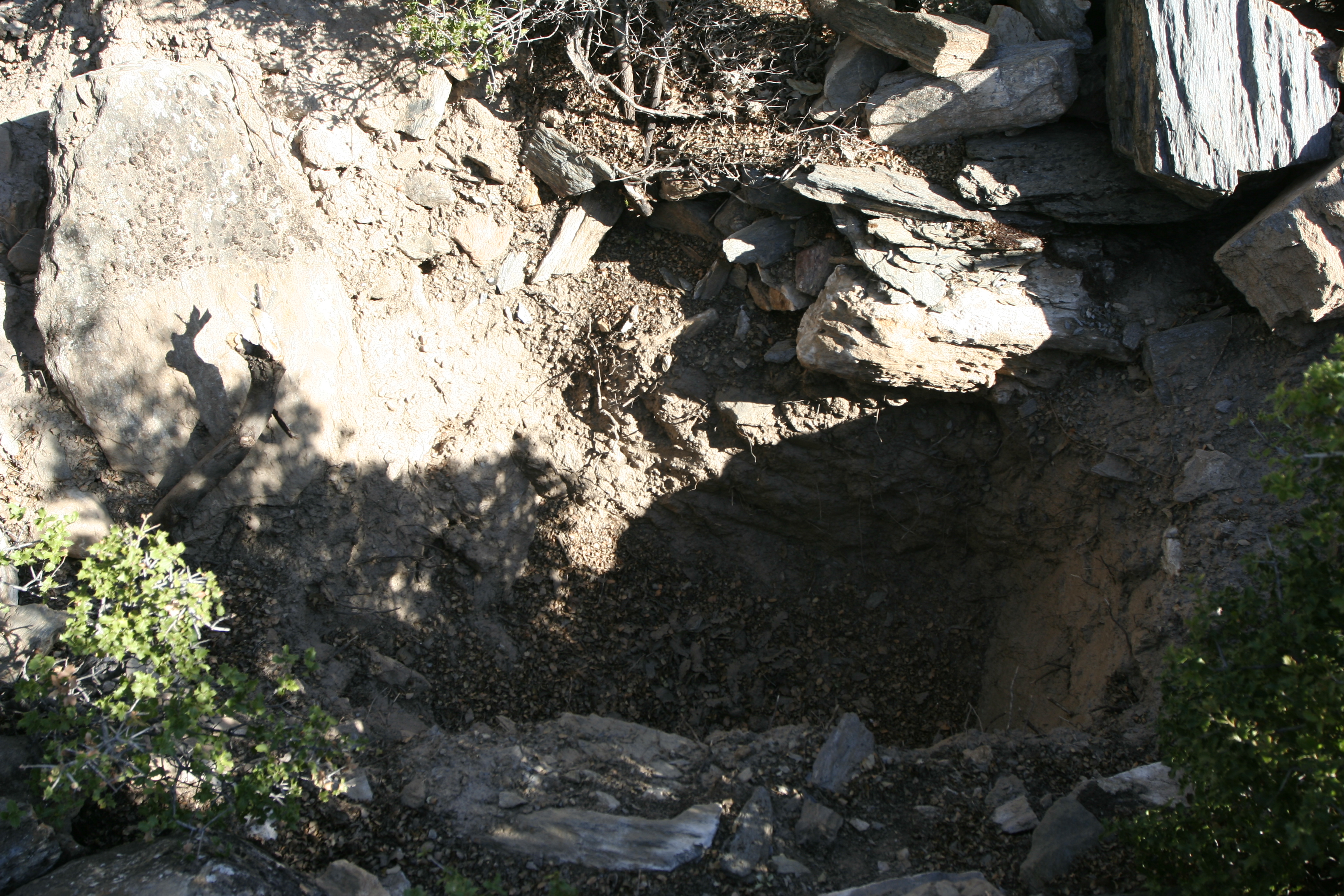
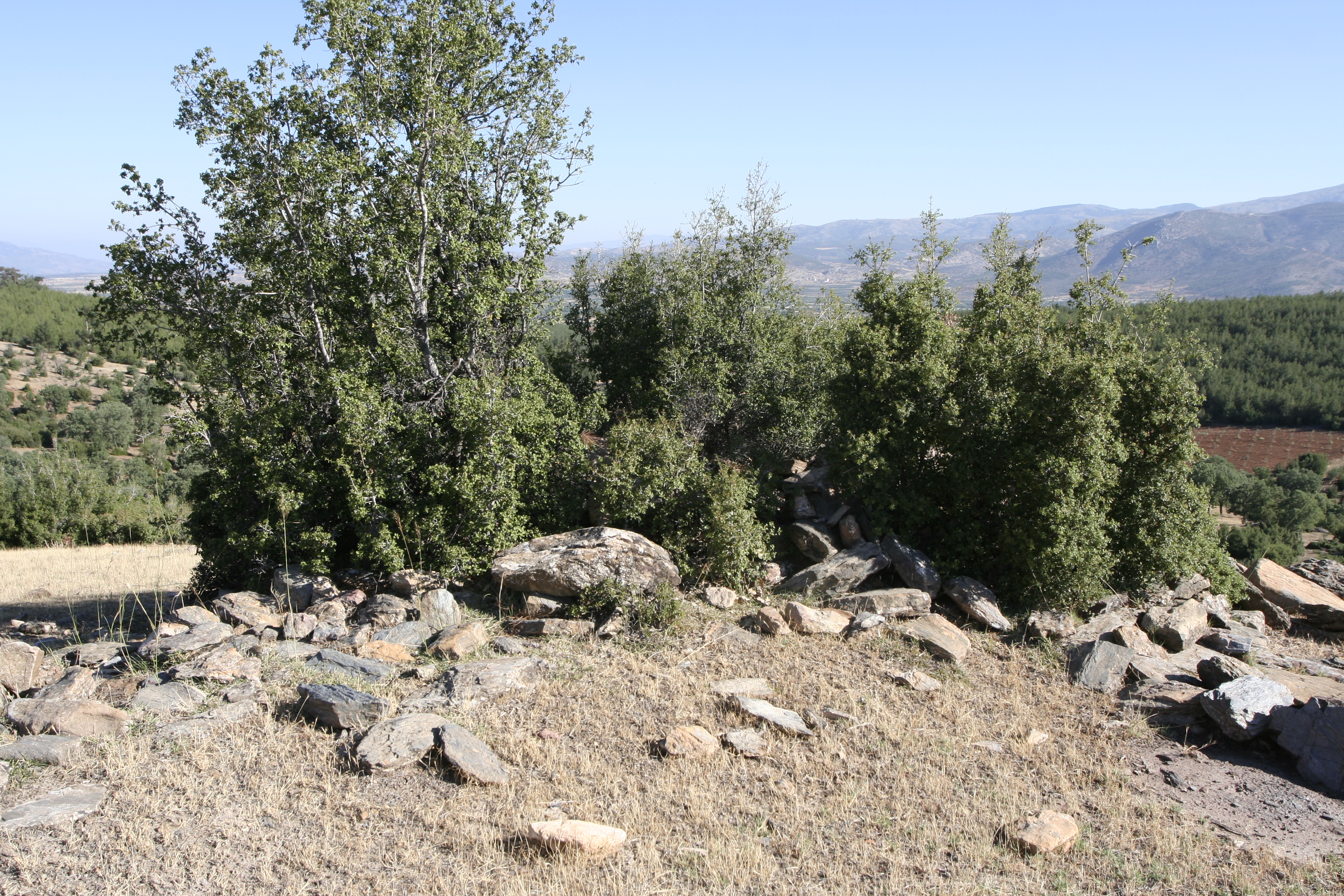
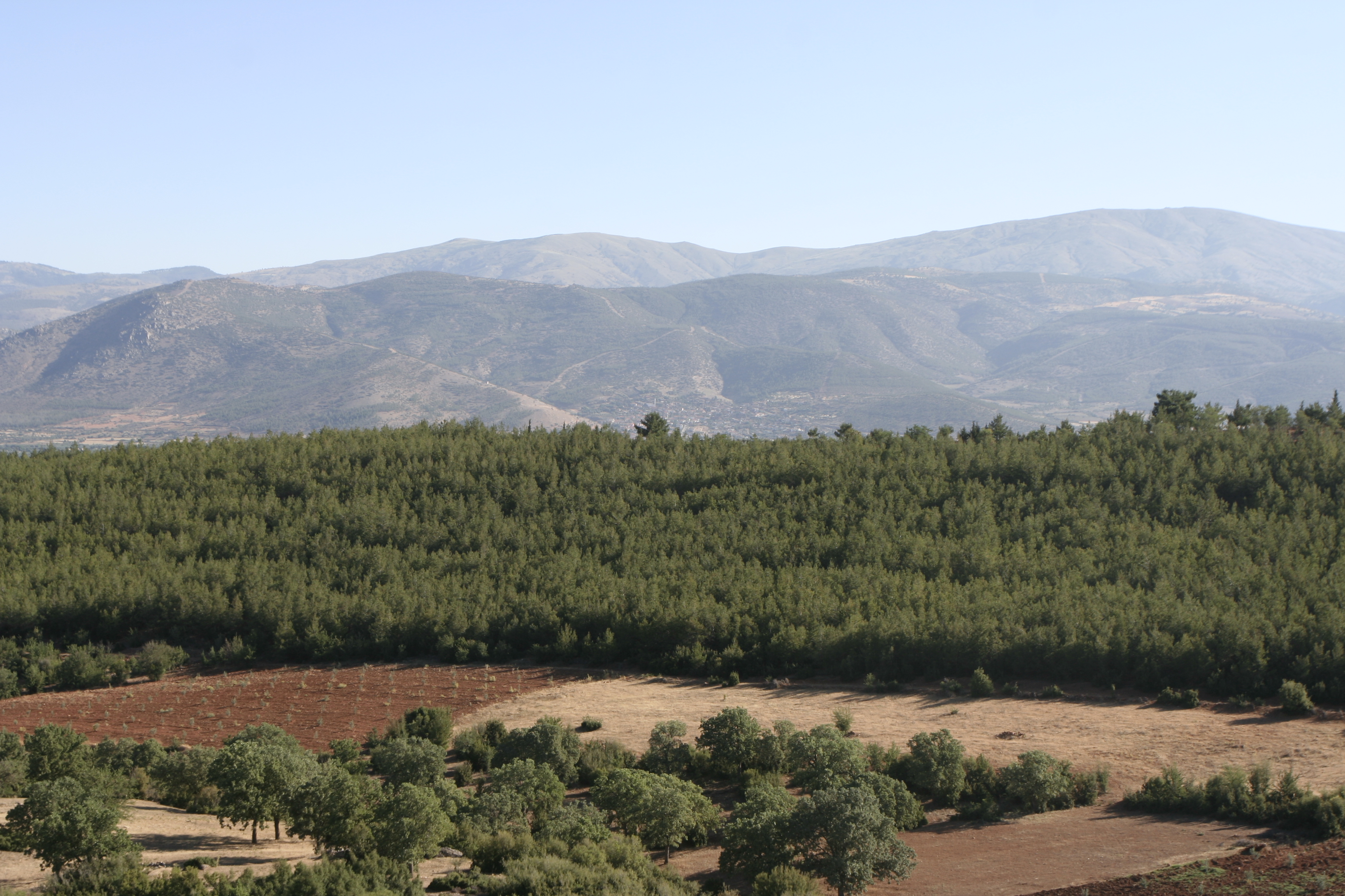
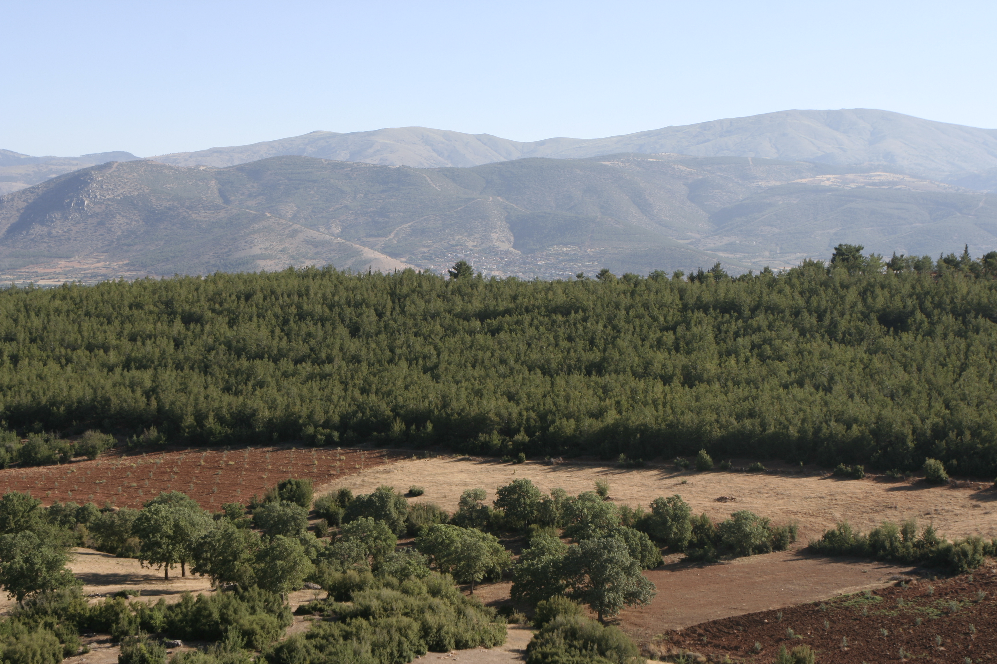
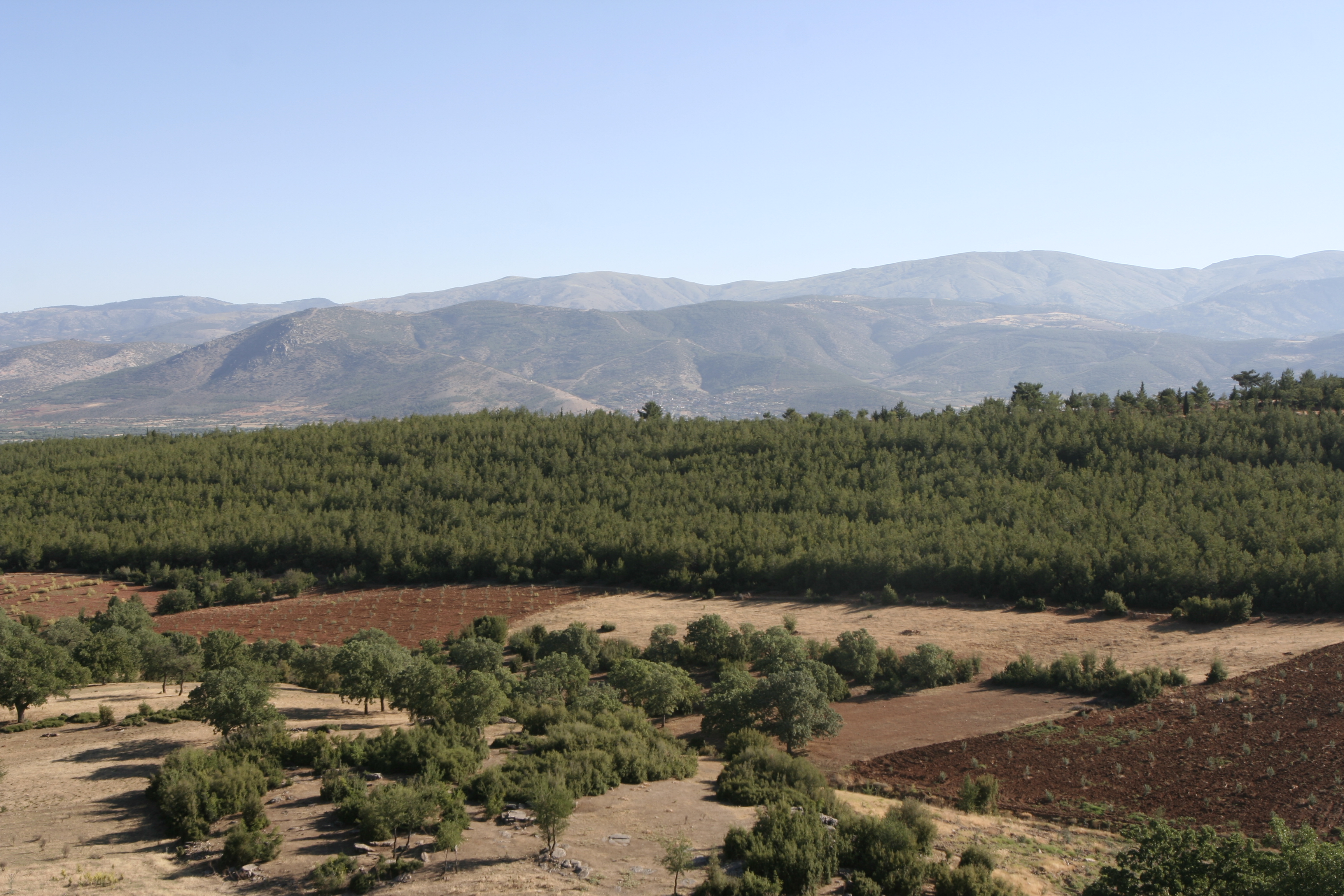
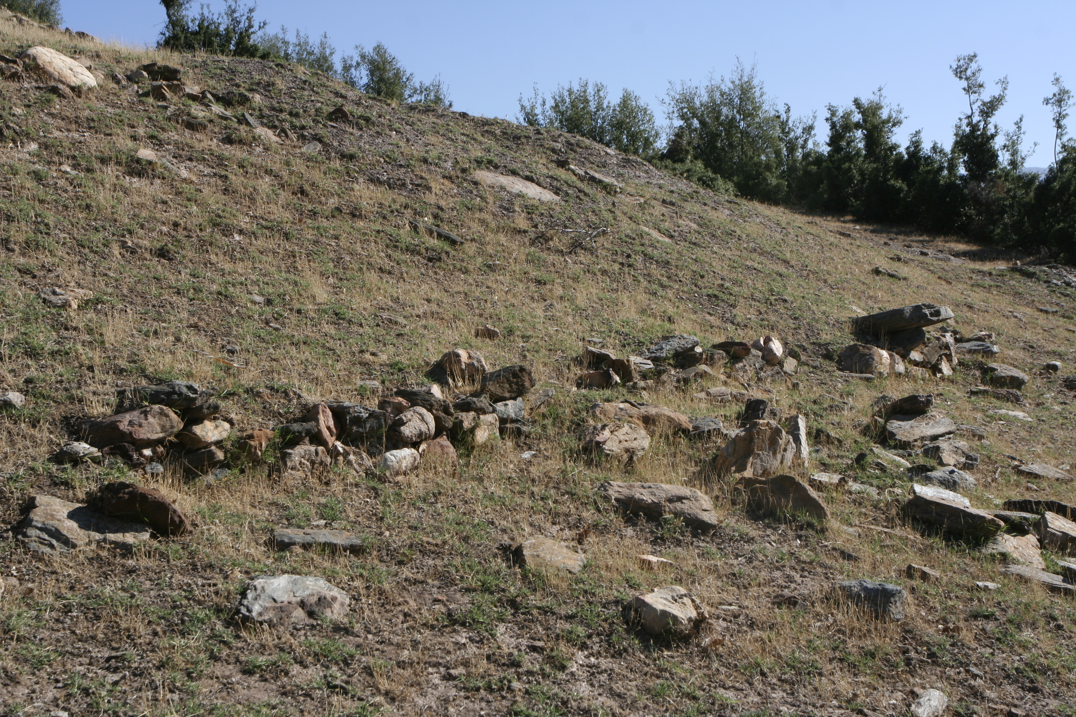
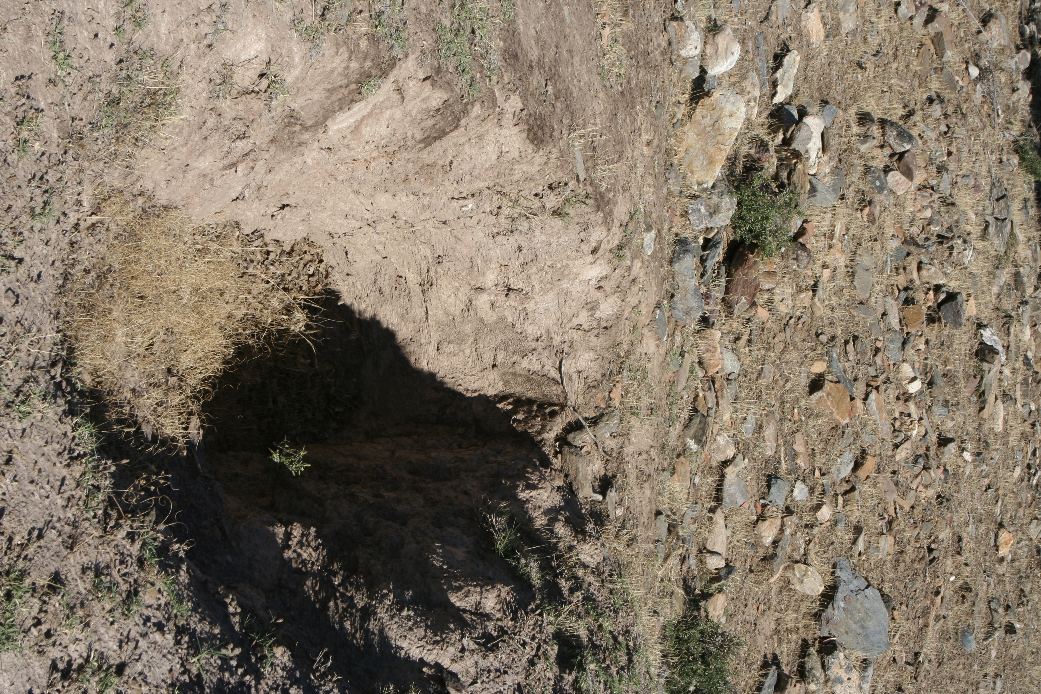
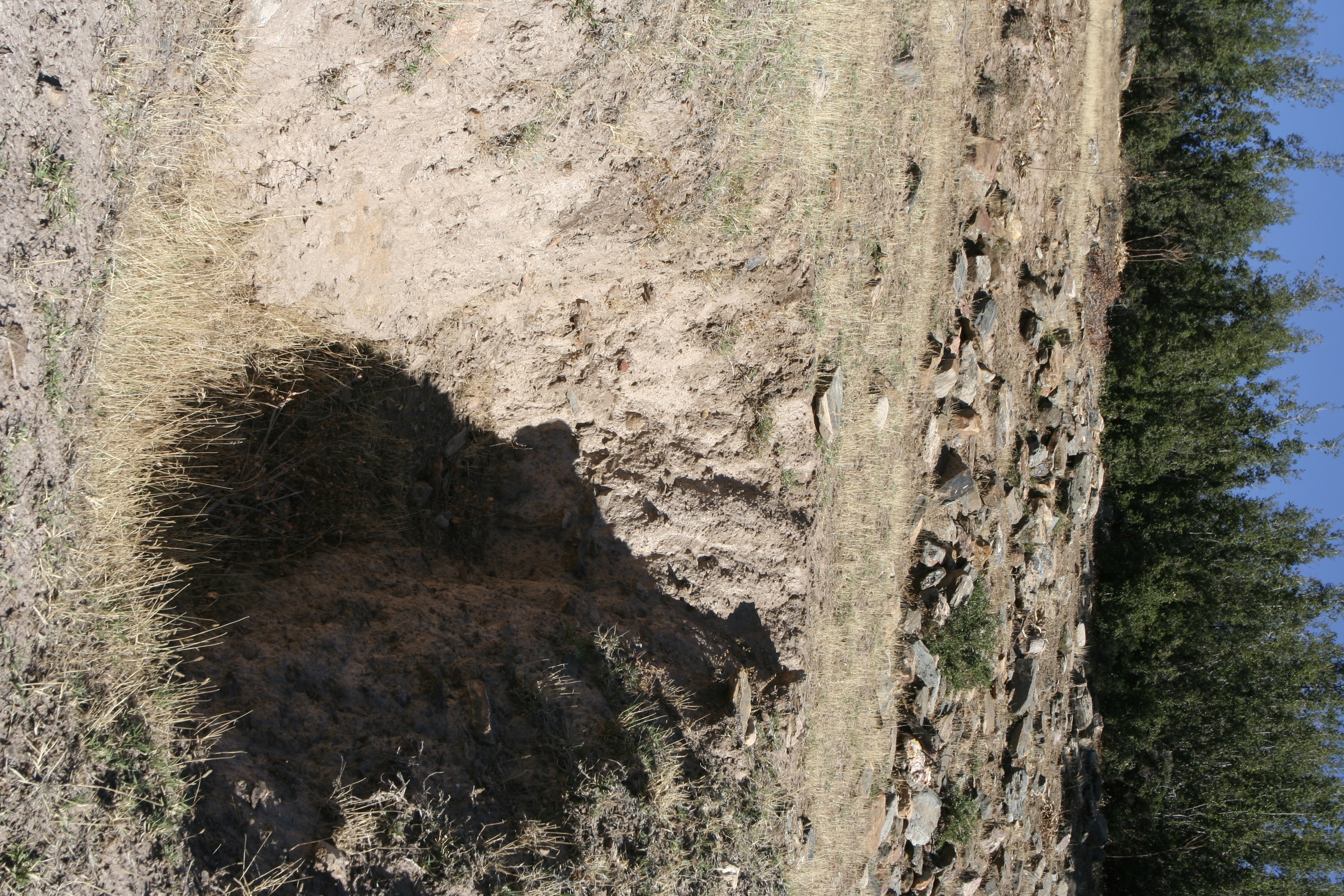
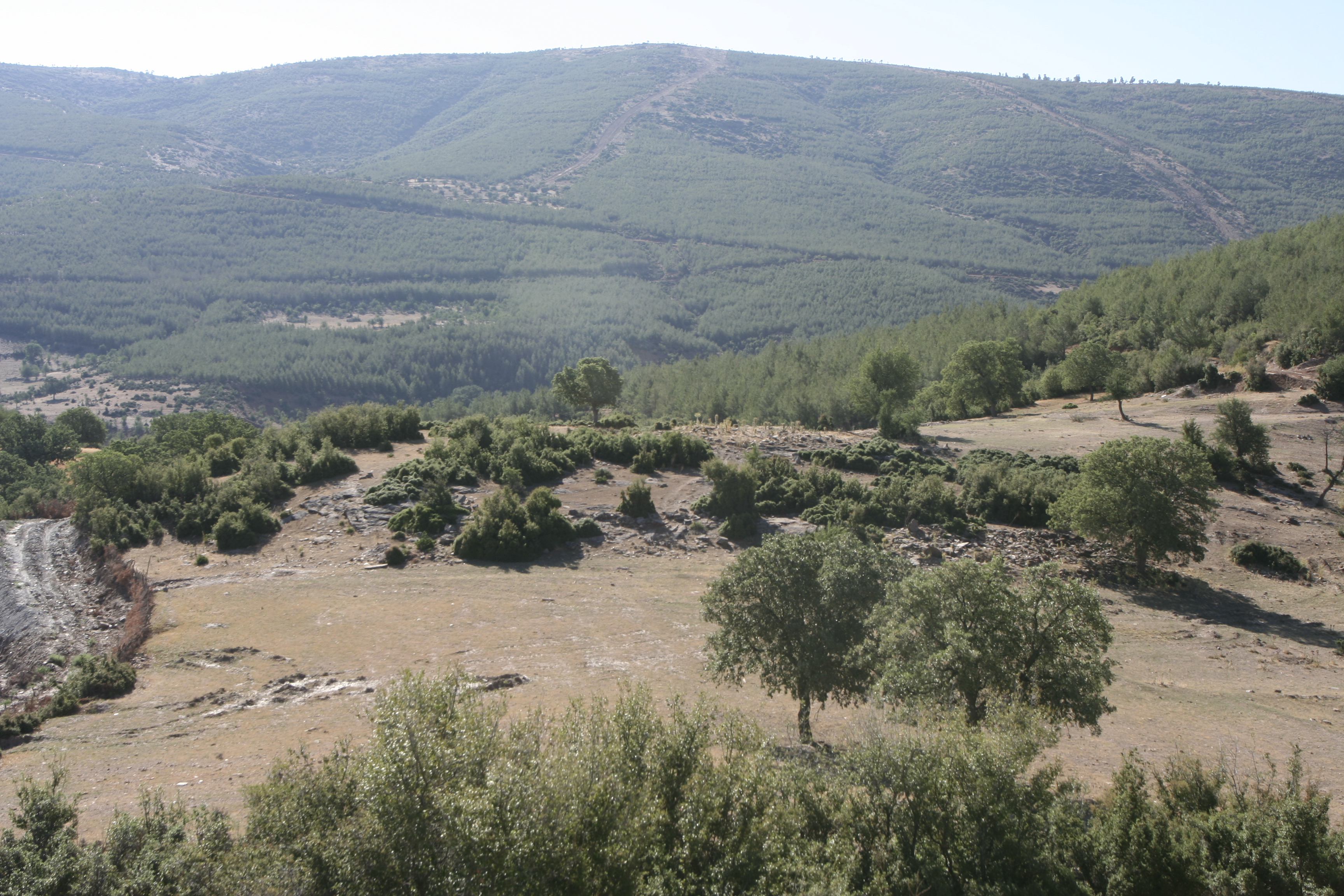
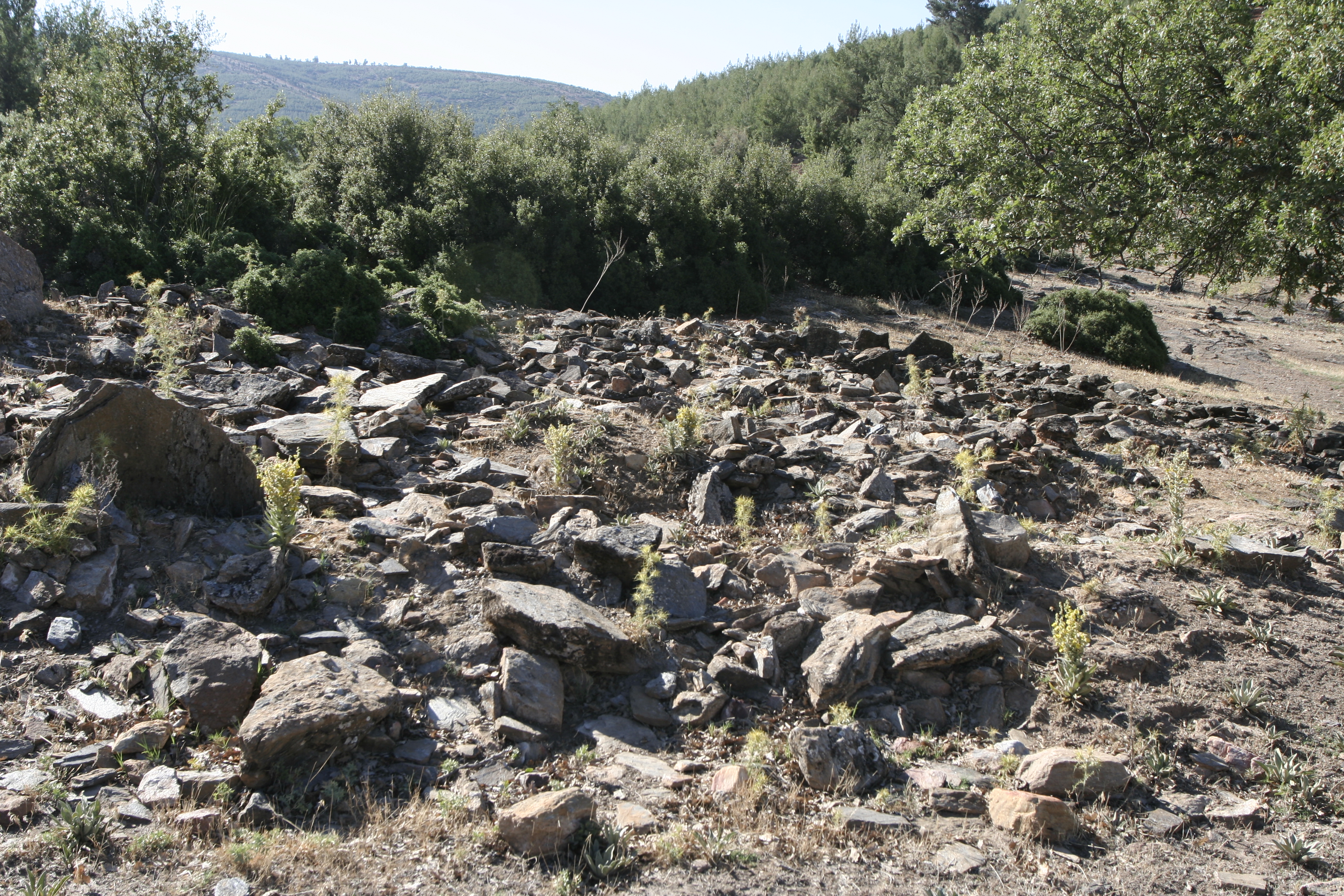
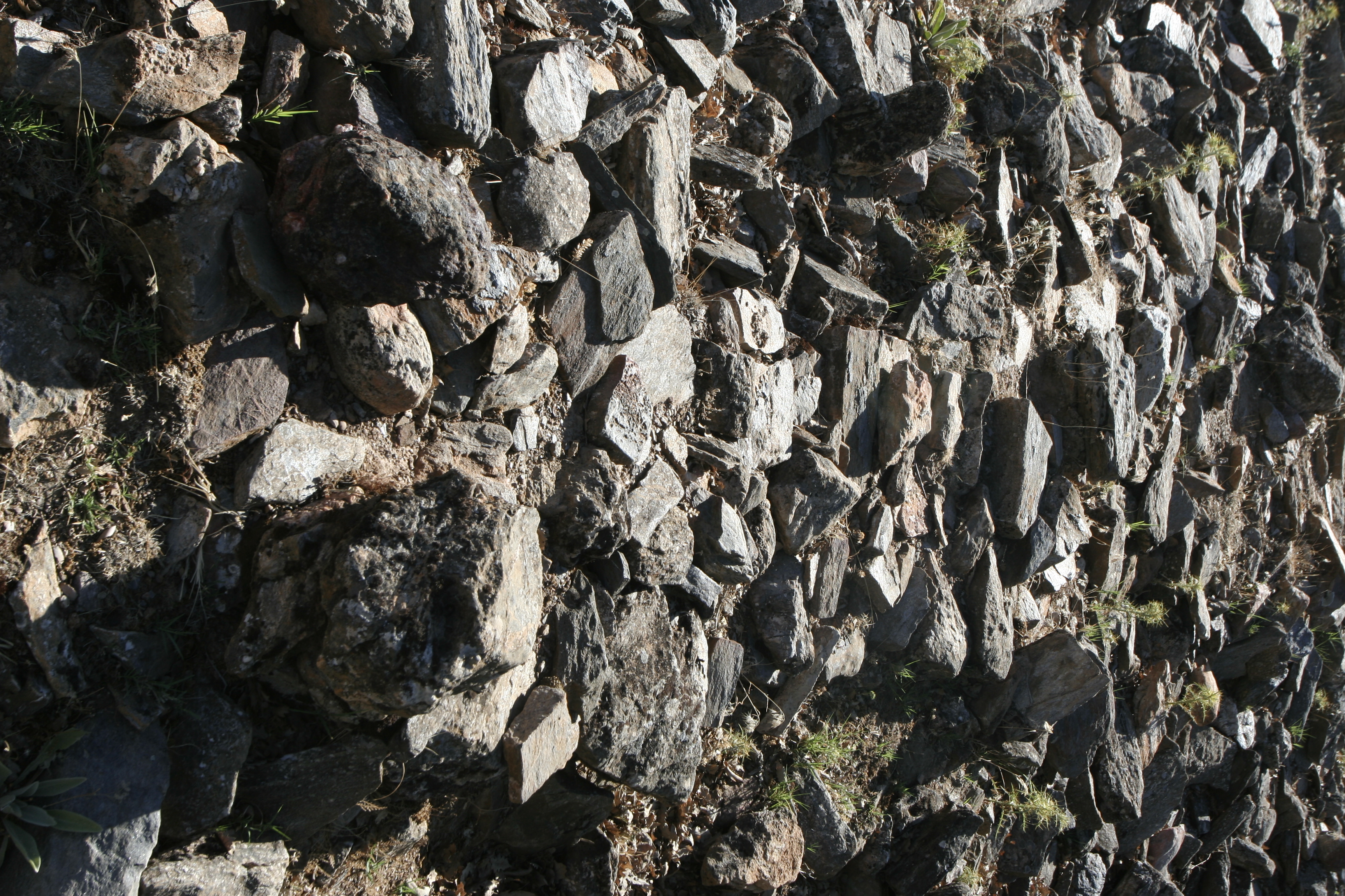
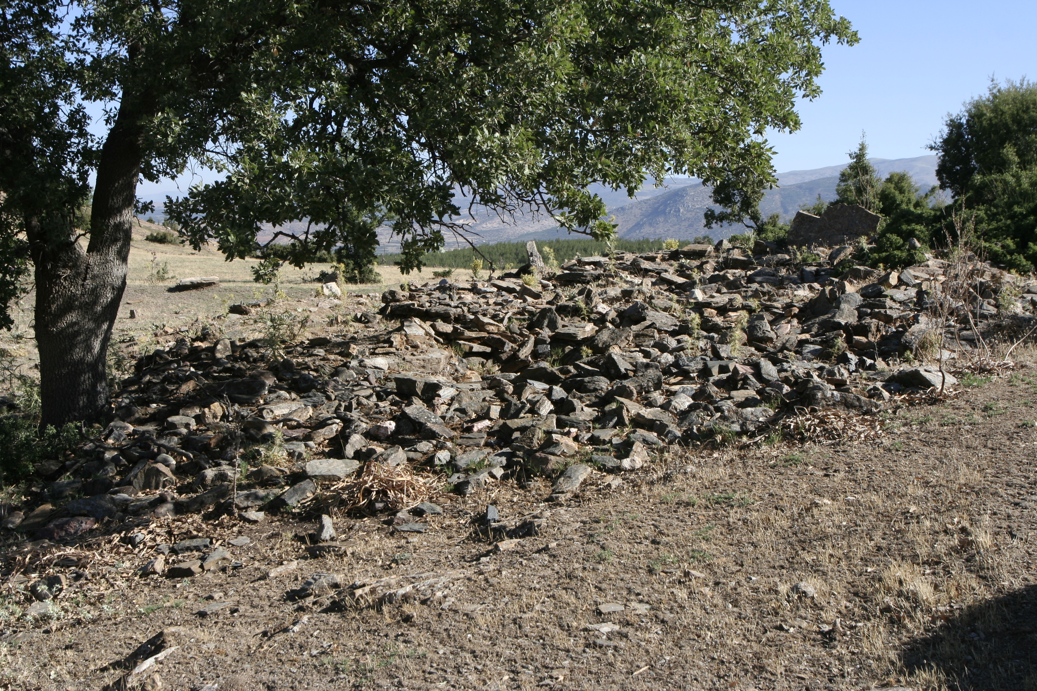
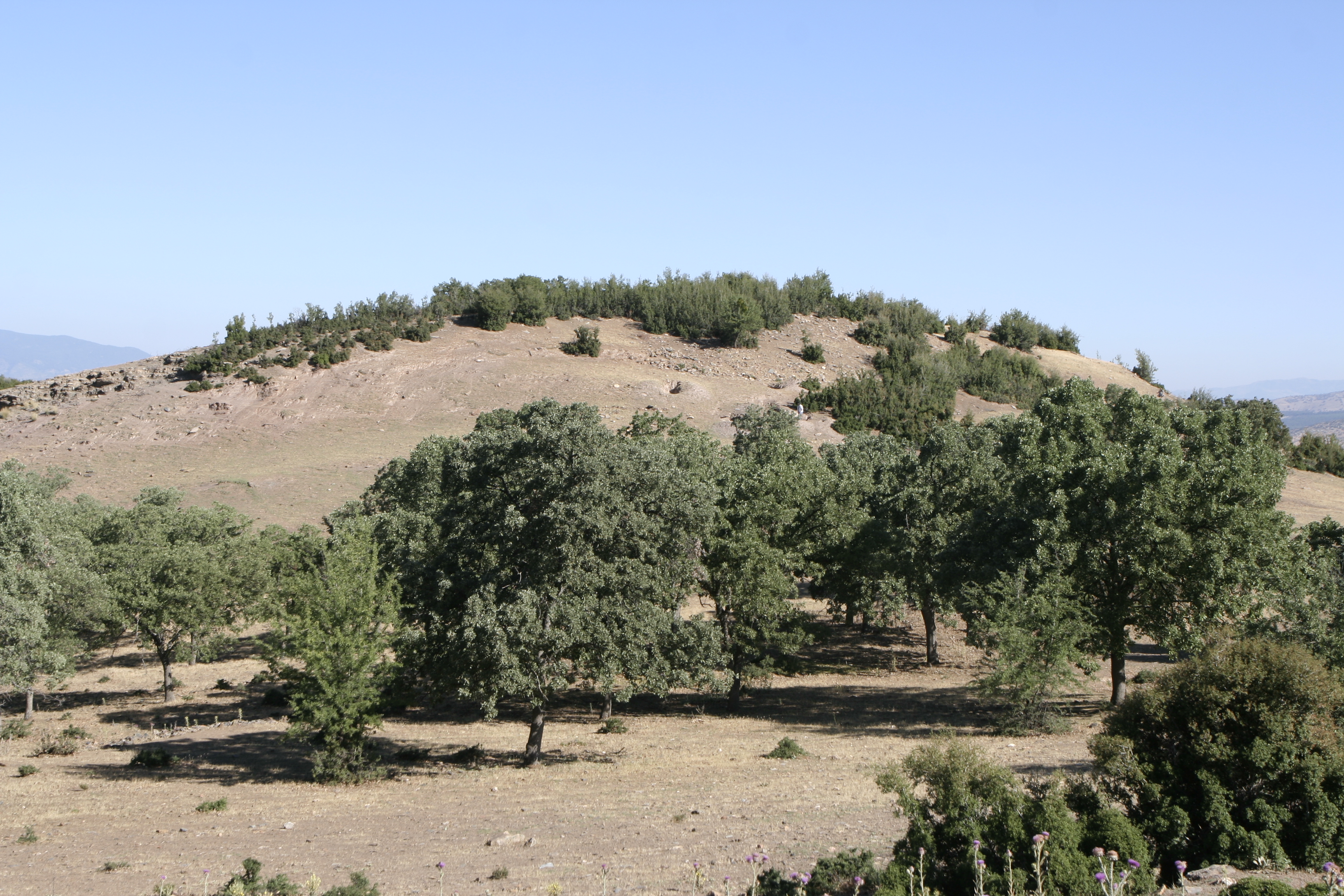
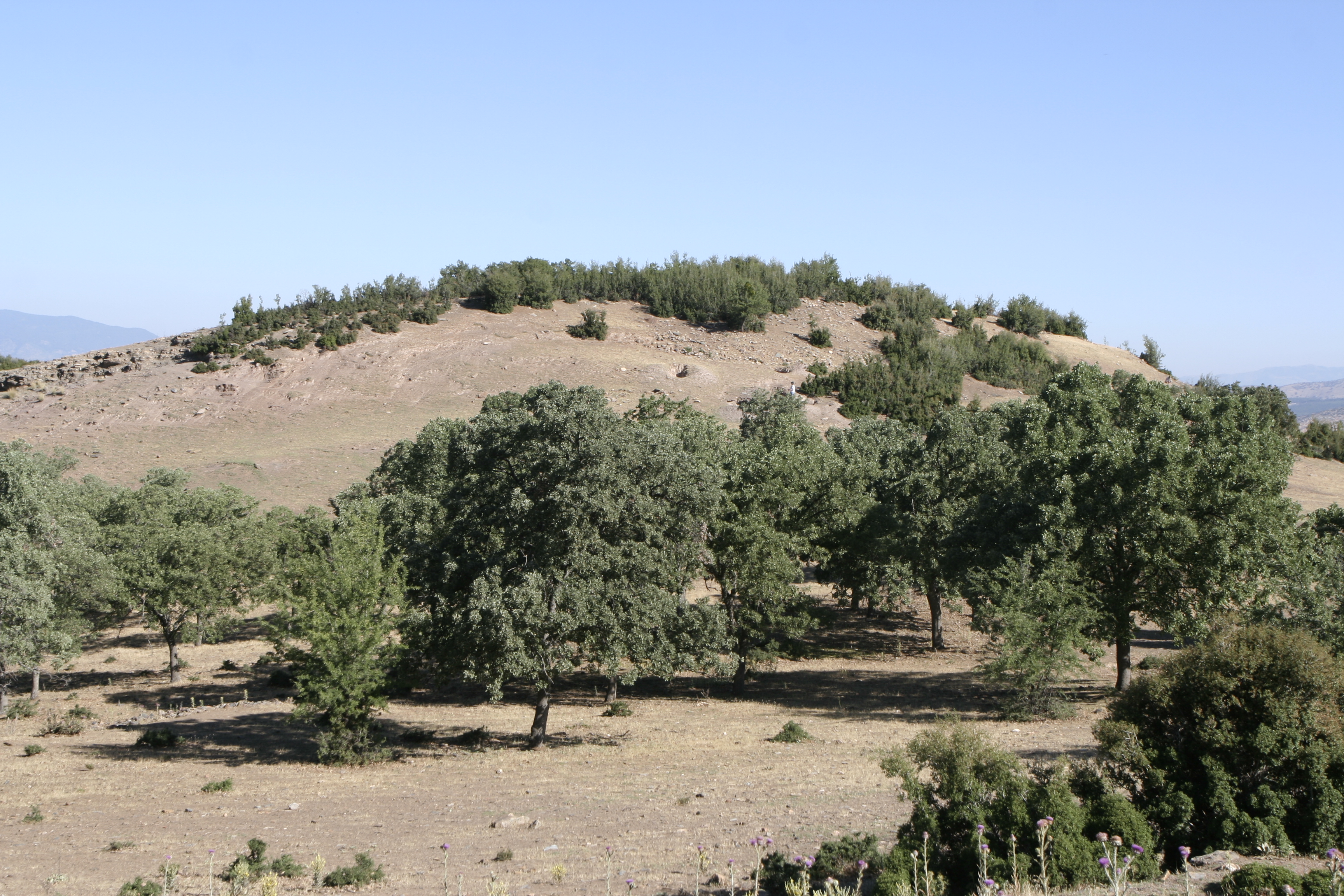
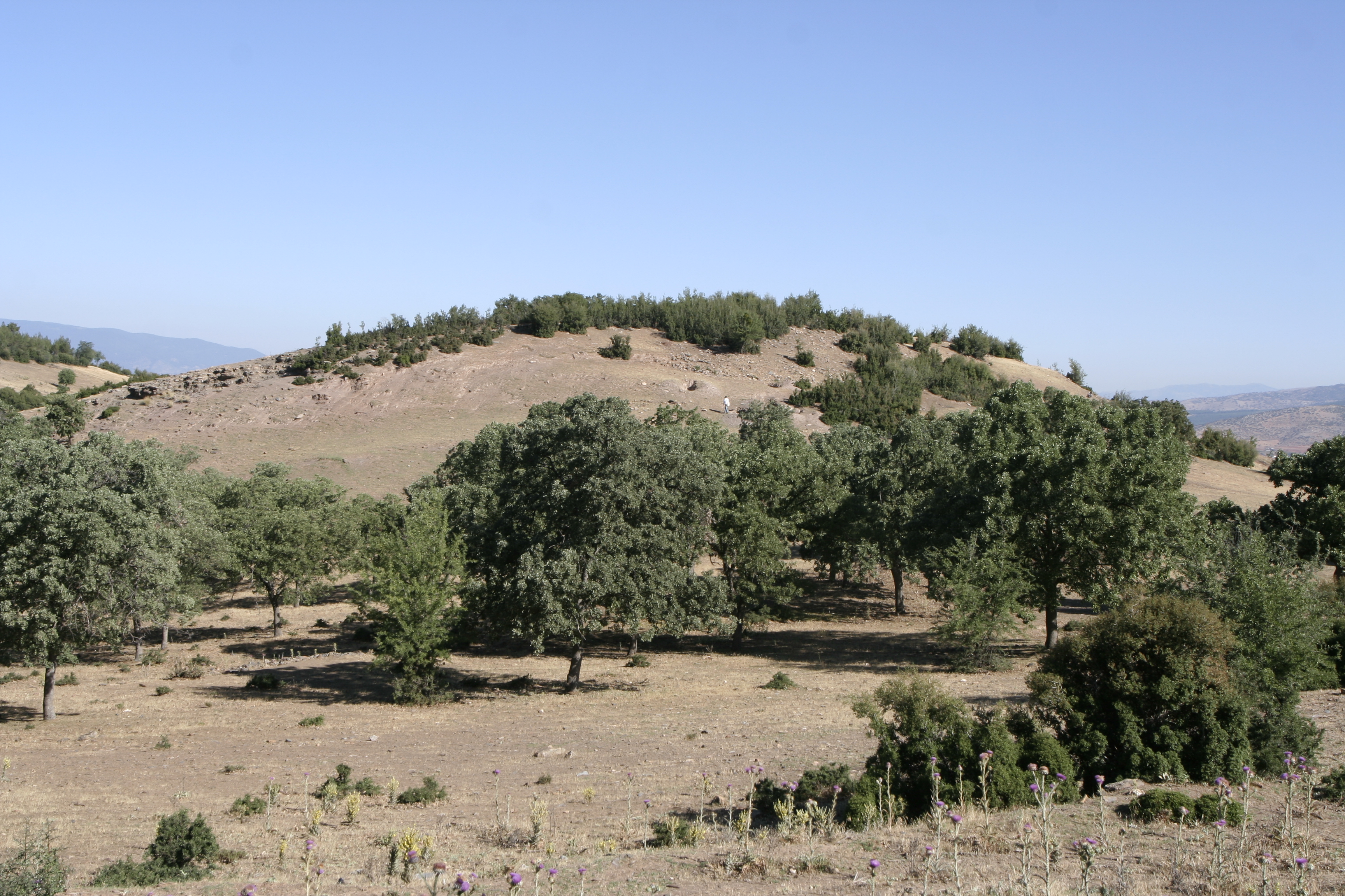
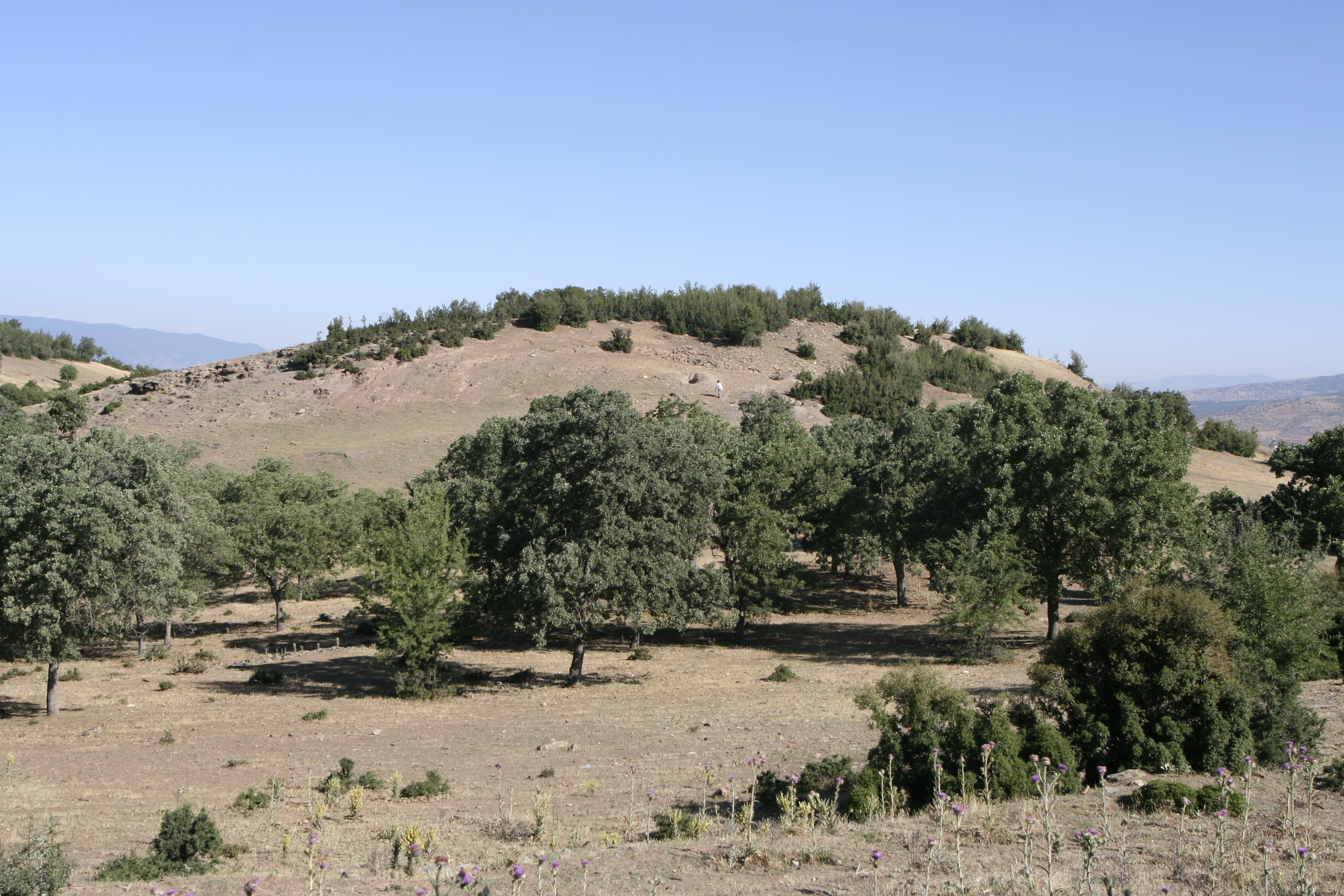
Local Information: SE Transect Latitude: 37.39.42.922 Longitude: 28.45.26.840 Elevation: 692m Description: Located on the top of a ridge SE of Aphrodisias, west of the Koca Dere. Visible on the hilltop are the remains of several rooms and other walls visible. Large scatter of pottery and tile on surface, wide variety of fabrics. Illicit excavation undertaken at several places in settlement, large holes surrounded by broken pithos fragments and pottery fragments. E of the settlement at bottom of hill is a large, flat, fallow area which features some long straight mounds, may be walls.This Settlement is northwest of and uphill from Monastary-Settlement D179. Finds: Finds suggest (particularly Seki ware and a significant number of early forms) a generally early occupation for this site, starting in the pre-Hellenistic period, and primarily dating to the Hellenistic/Early Imperial period. ** Non-systematic pottery collection conducted 22-June-2007 ** [CMB, CKB, AC]
Types
Other
Metadata
Show full item recordCollections
Remediation of Harmful Language
The University of Michigan Library aims to describe its collections in a way that respects the people and communities who create, use, and are represented in them. We encourage you to Contact Us anonymously if you encounter harmful or problematic language in catalog records or finding aids. More information about our policies and practices is available at Remediation of Harmful Language.
Accessibility
If you are unable to use this file in its current format, please select the Contact Us link and we can modify it to make it more accessible to you.