 Access by request
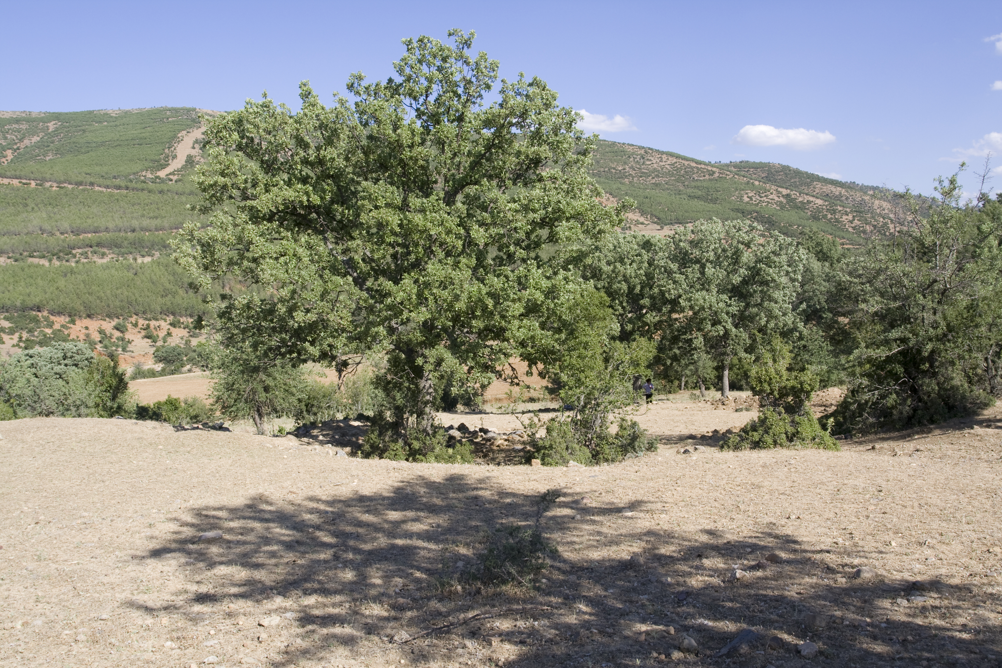
D179: Kocadere Monastery Church
Aphrodisias Regional Survey
2007-06-16
View/


Citation
Page reference: Christopher Ratté and Peter D. De Staebler (eds.). Aphrodisias V. The Aphrodisias Regional Survey (Verlag Philipp von Zabern: Darmstadt/Mainz, 2012), 71, 83, 84, 85, 380; 223, 224, 231; 26, 36, 162, 382, 383 - Book catalogue no.: Pottery cat. 12; Olive Oil cat. 10; Churches cat. 8. <http://hdl.handle.net/2027.42/92910>
Other Identifiers
D179
Subjects
Settlements Sanctuaries and Churches 4: Roman 5: Late Roman 6: Byzantine
Description
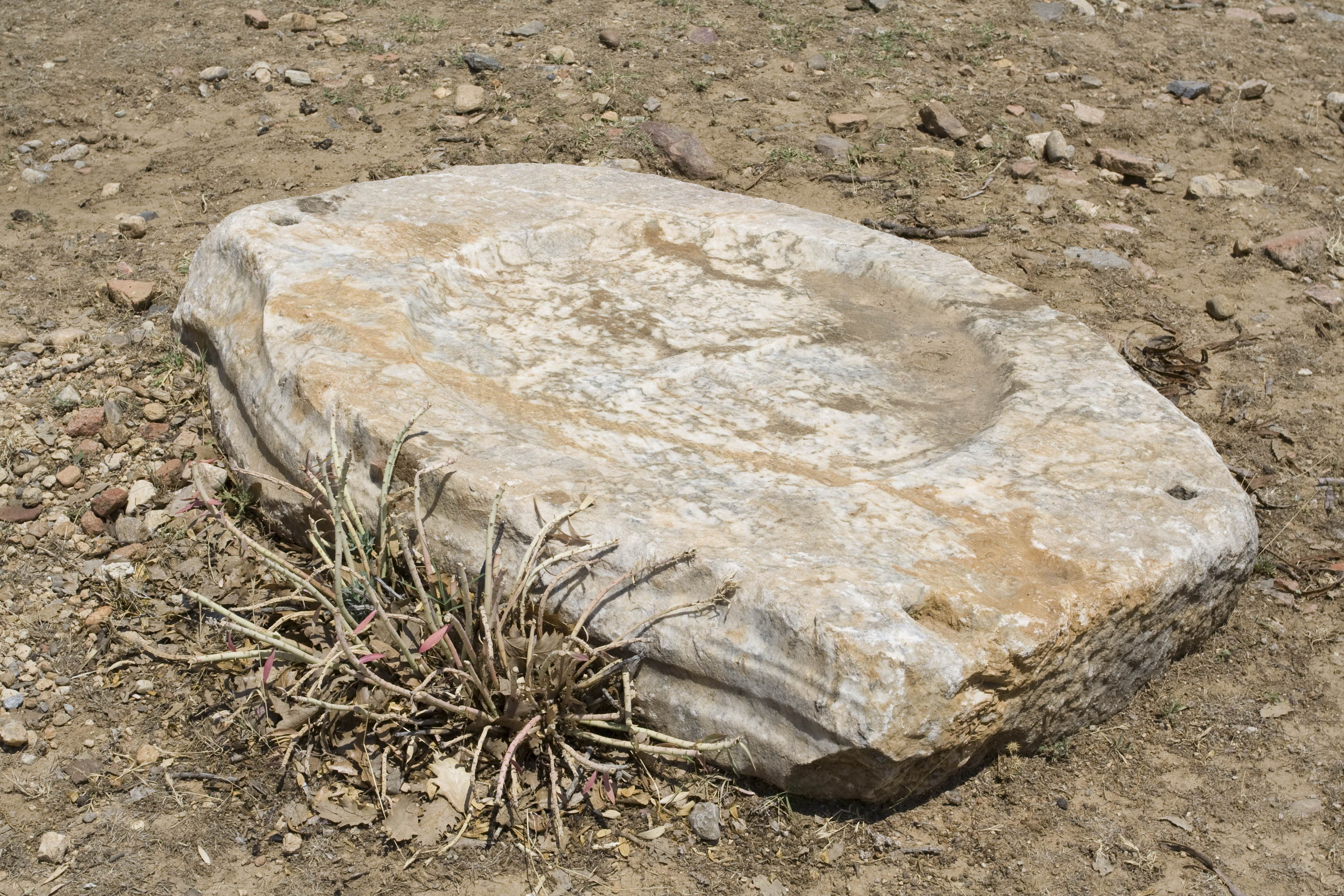
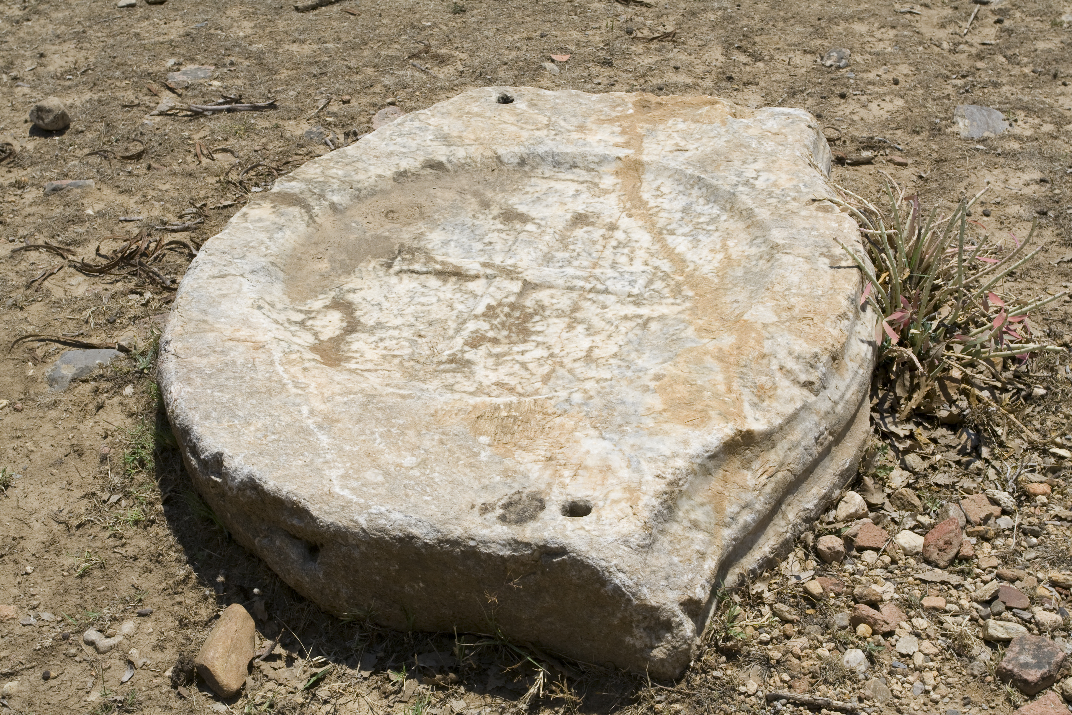
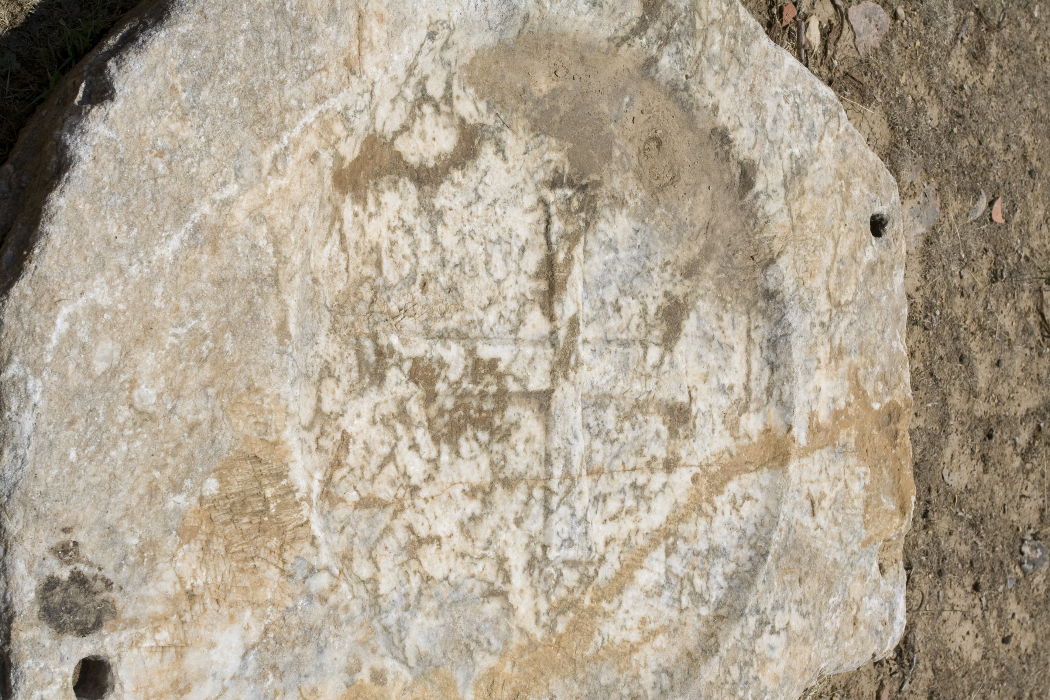
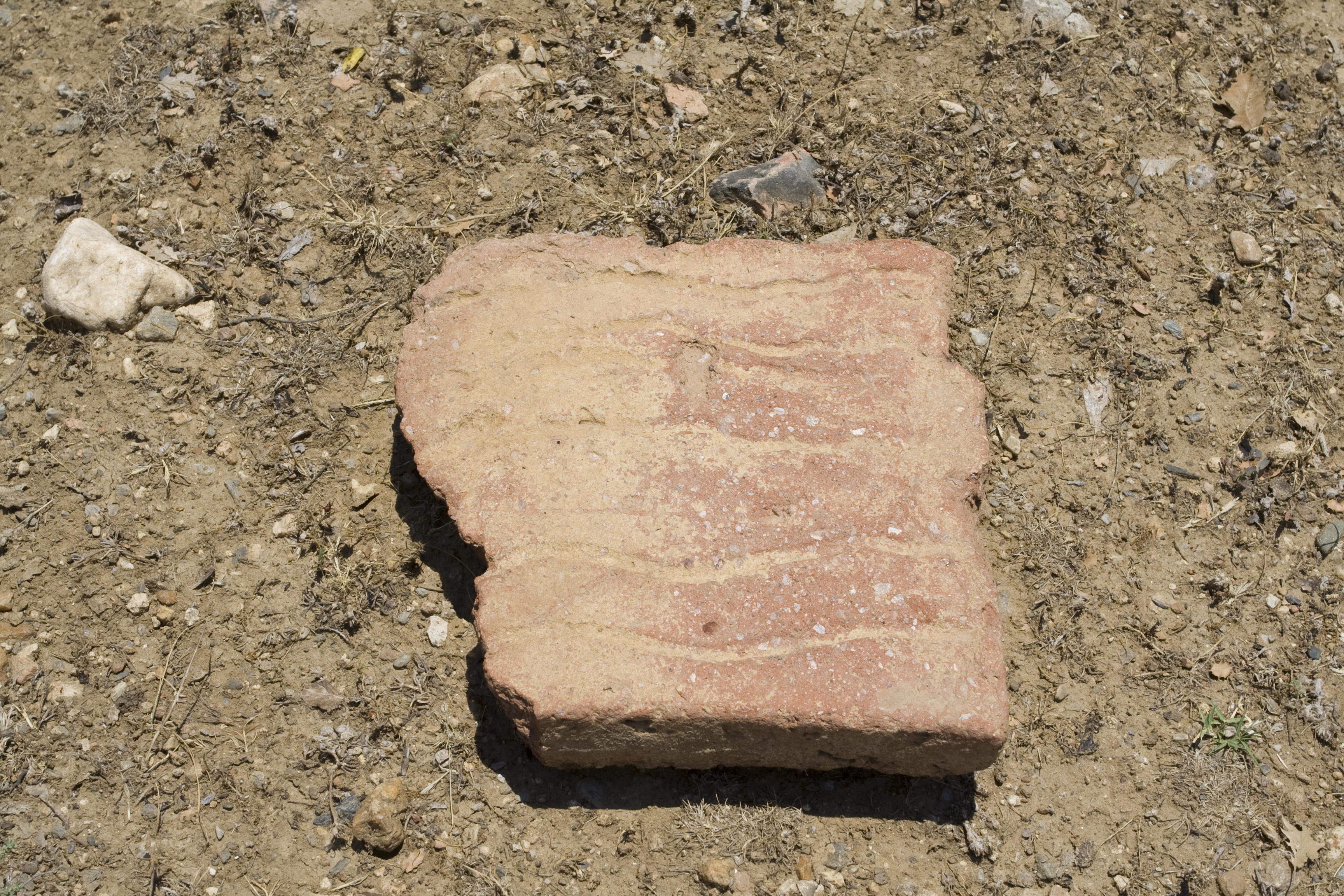
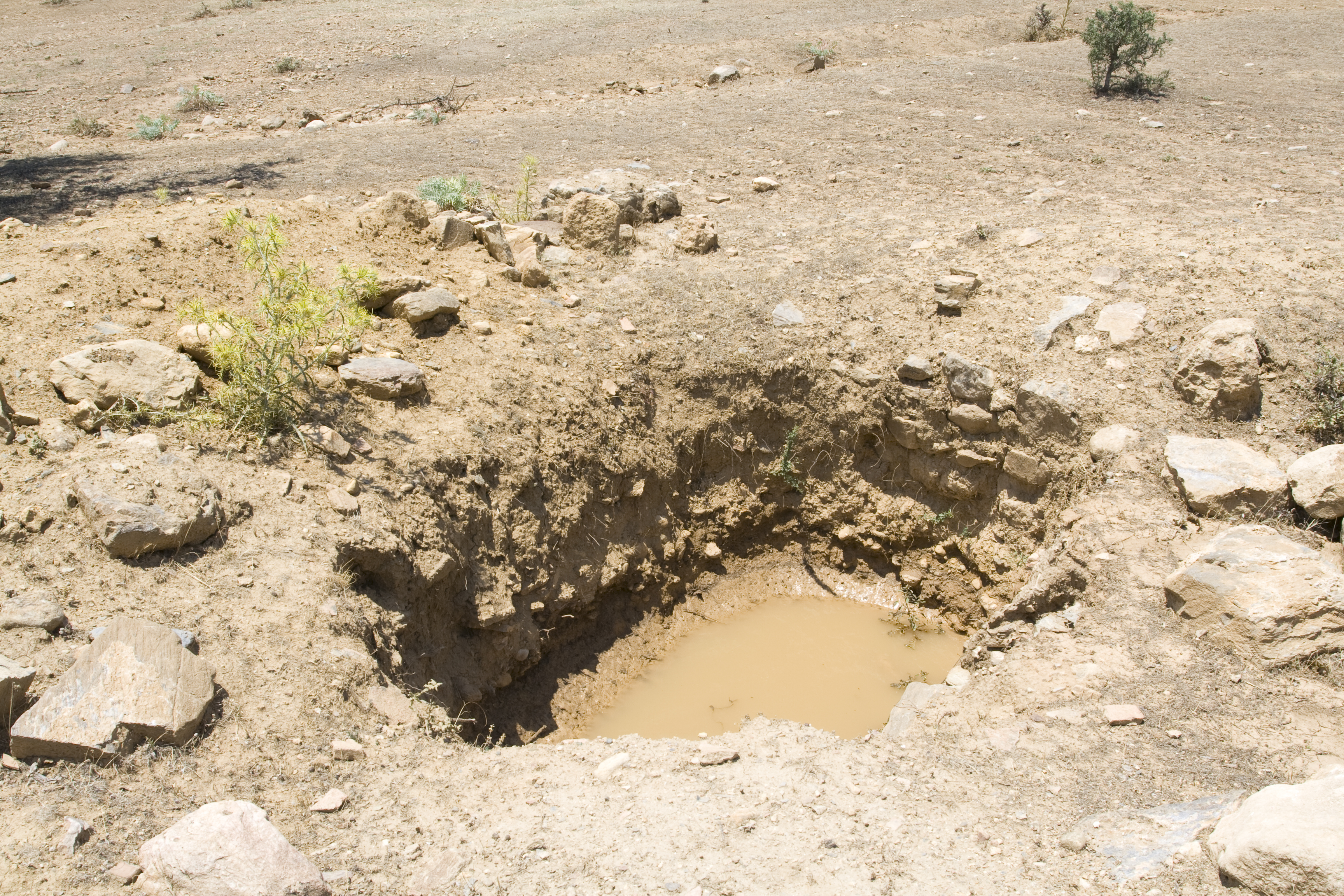
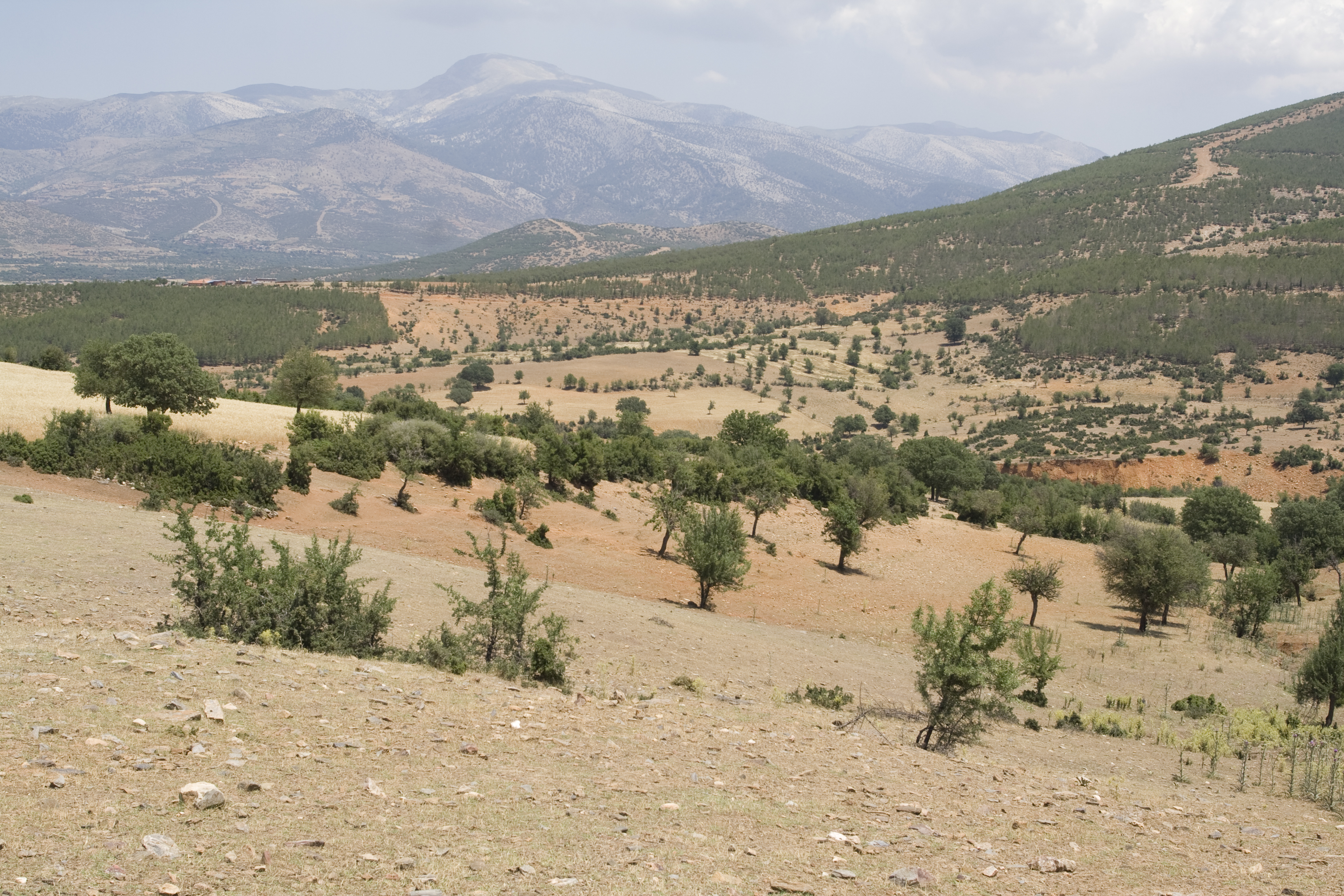
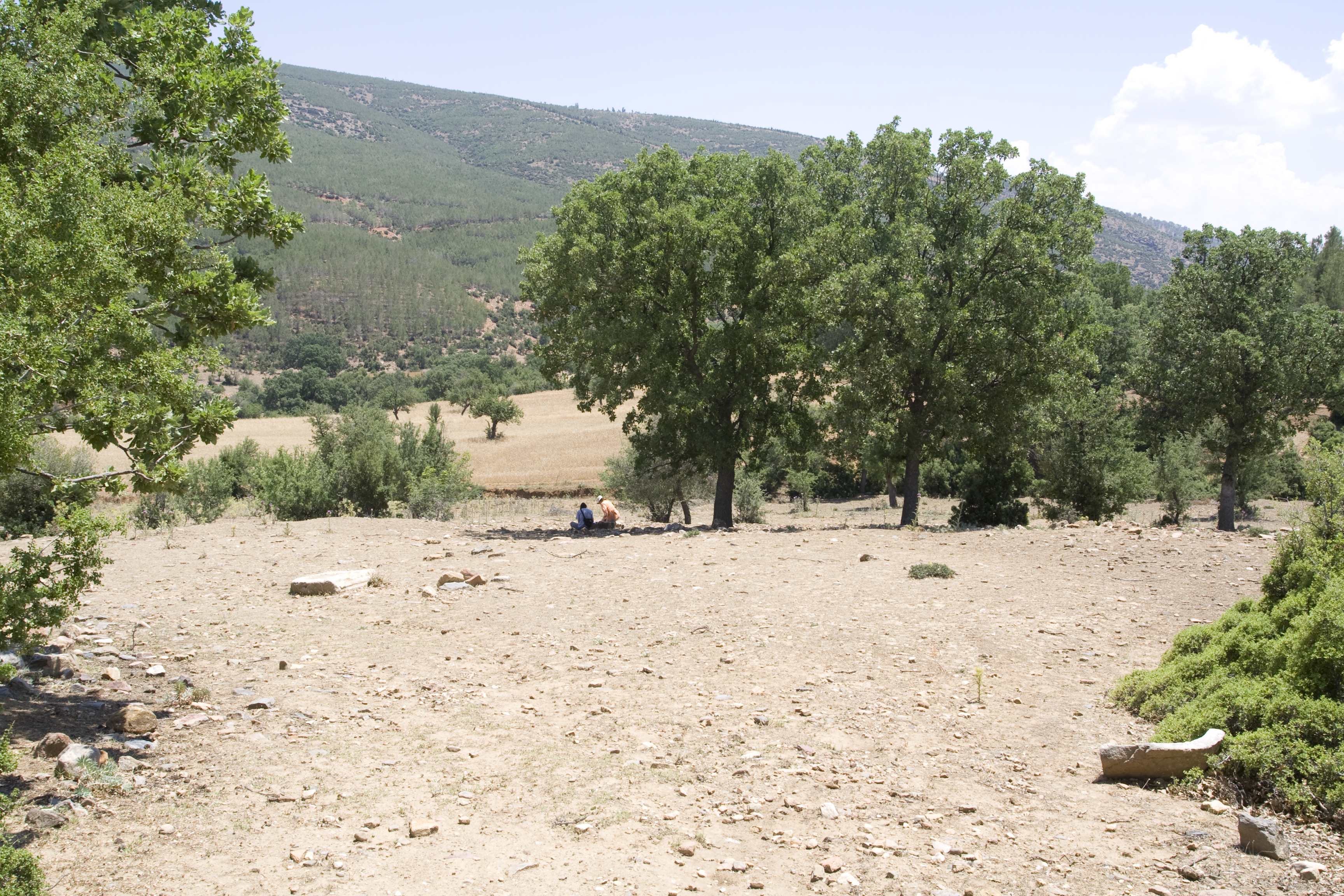
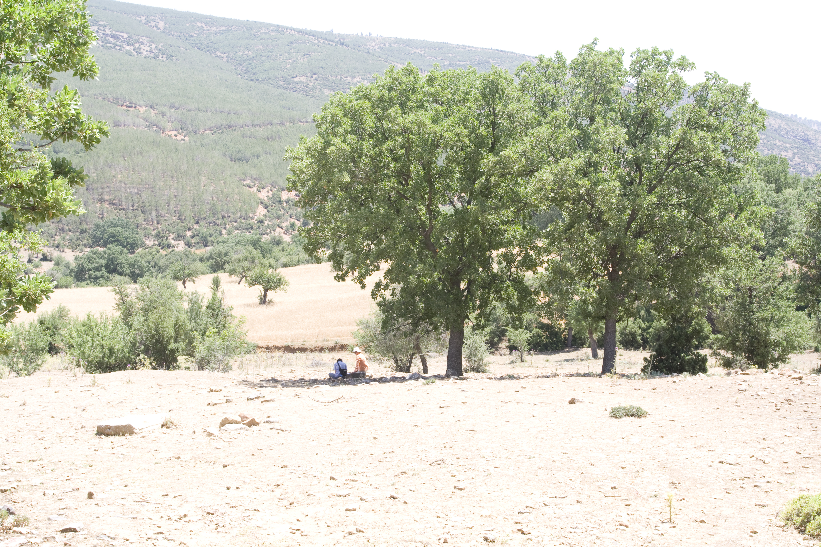
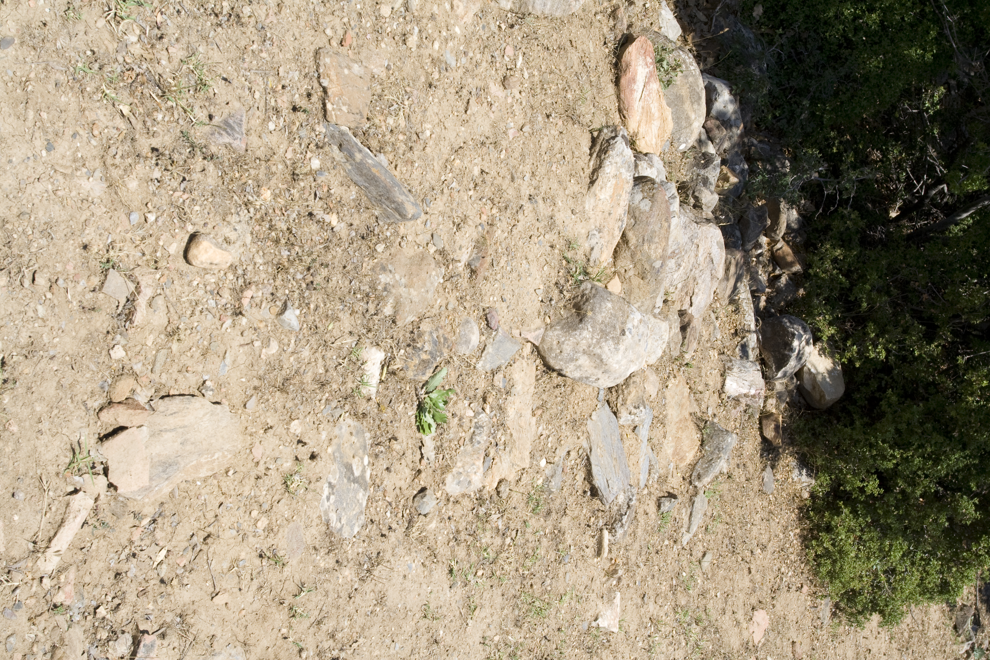
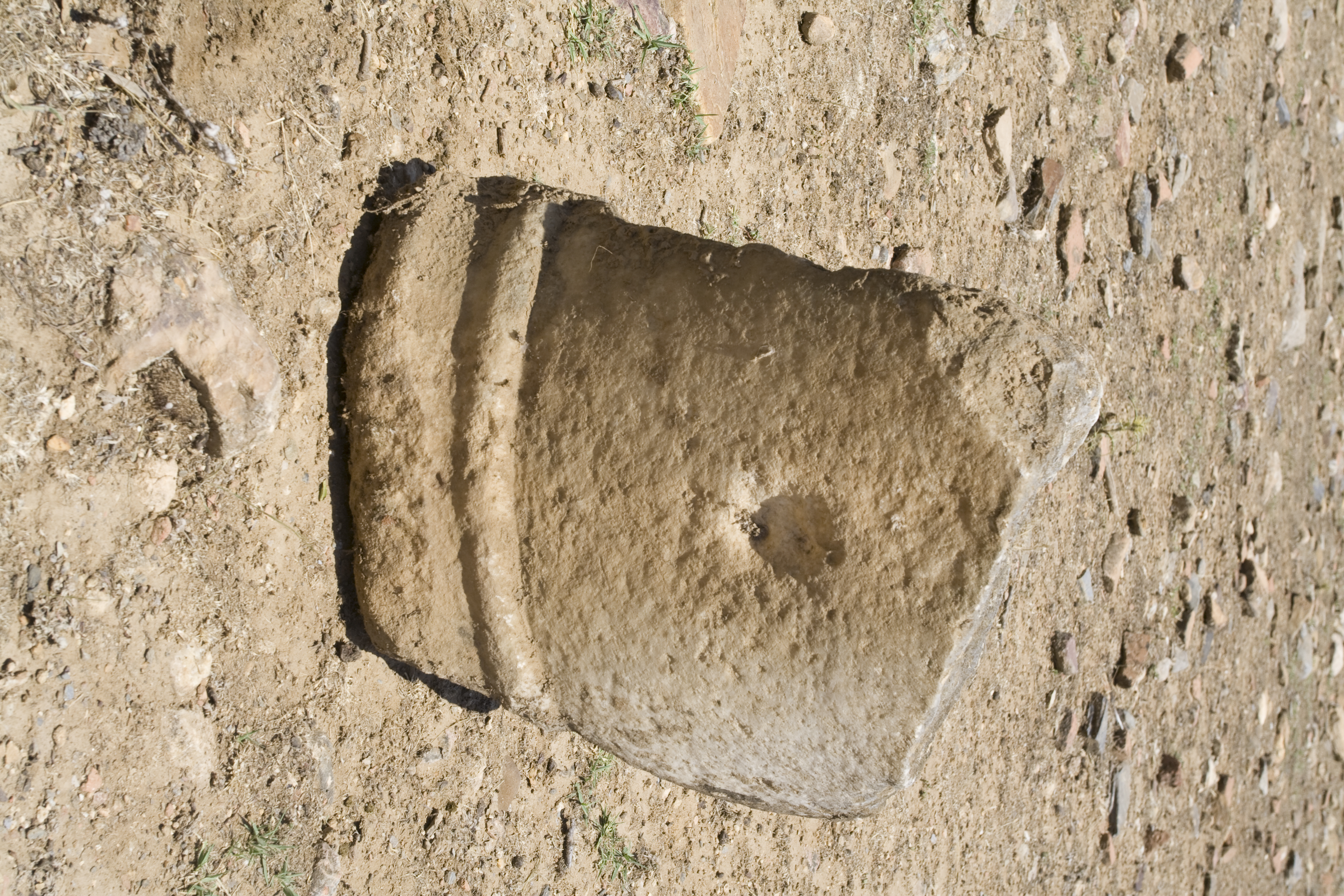
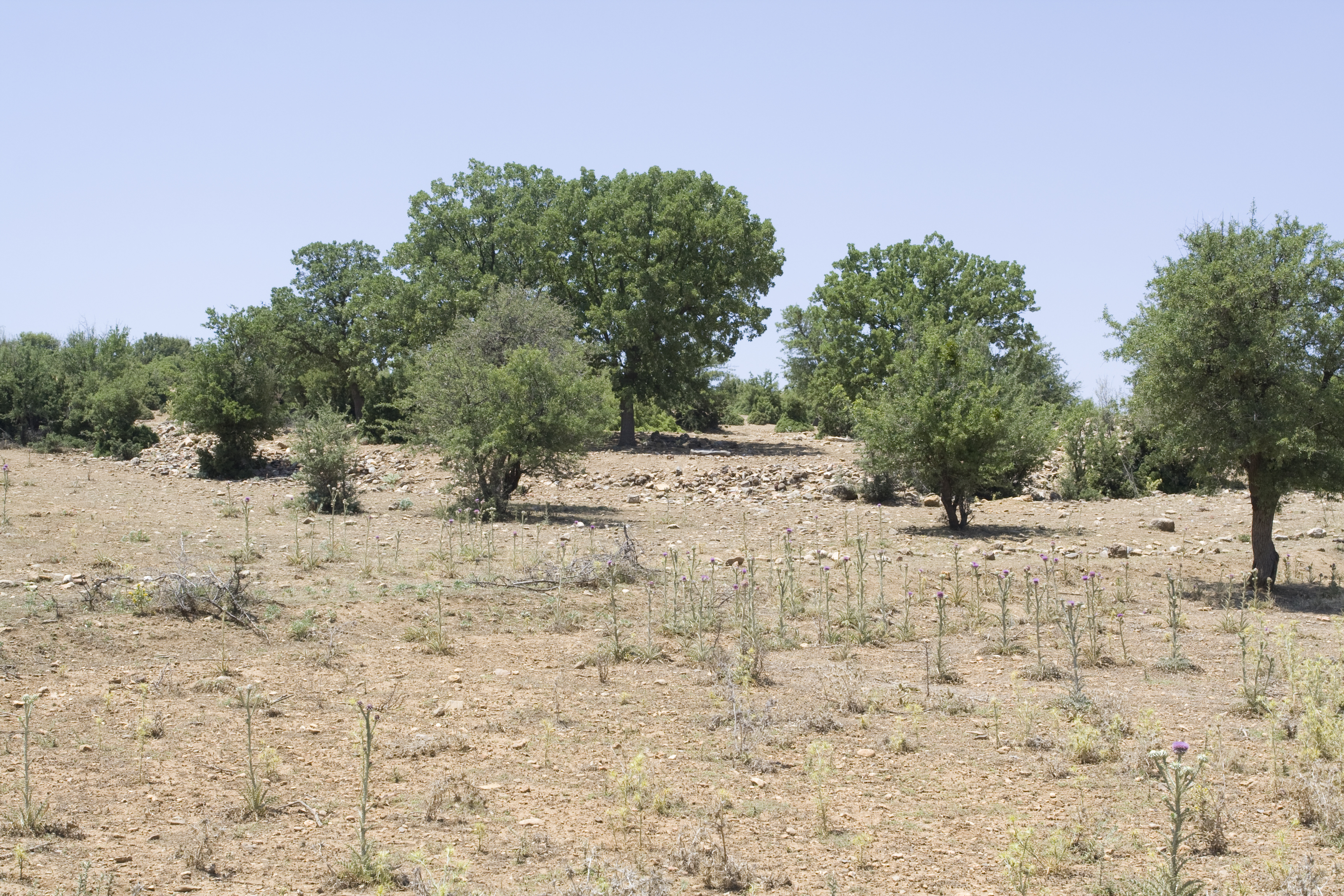
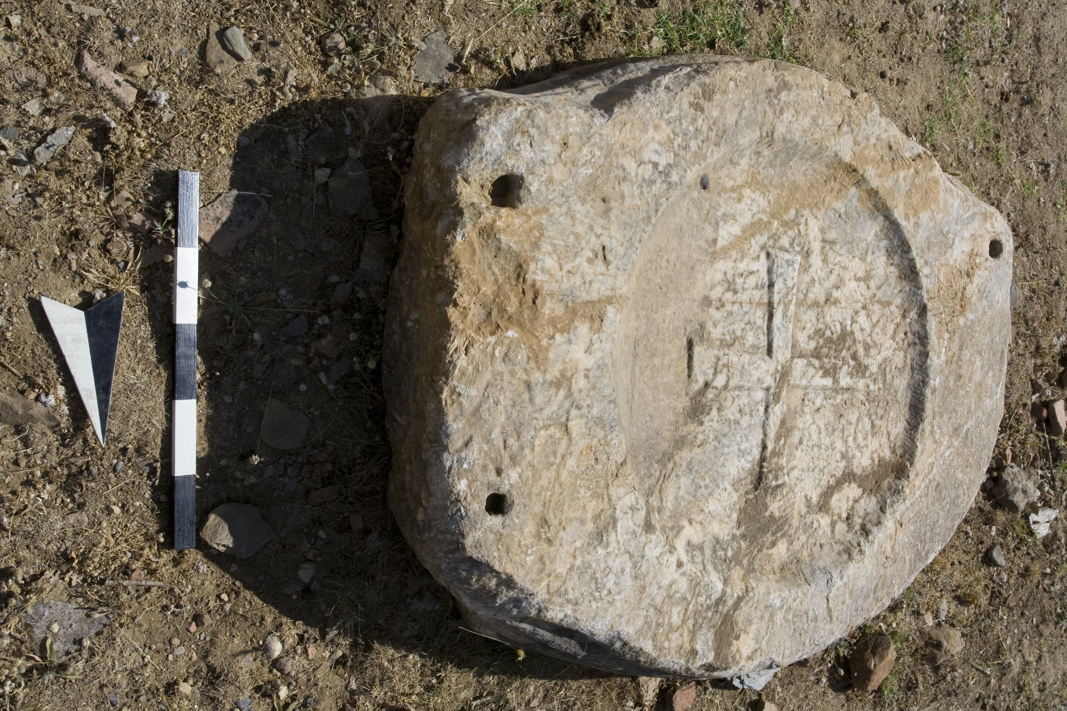
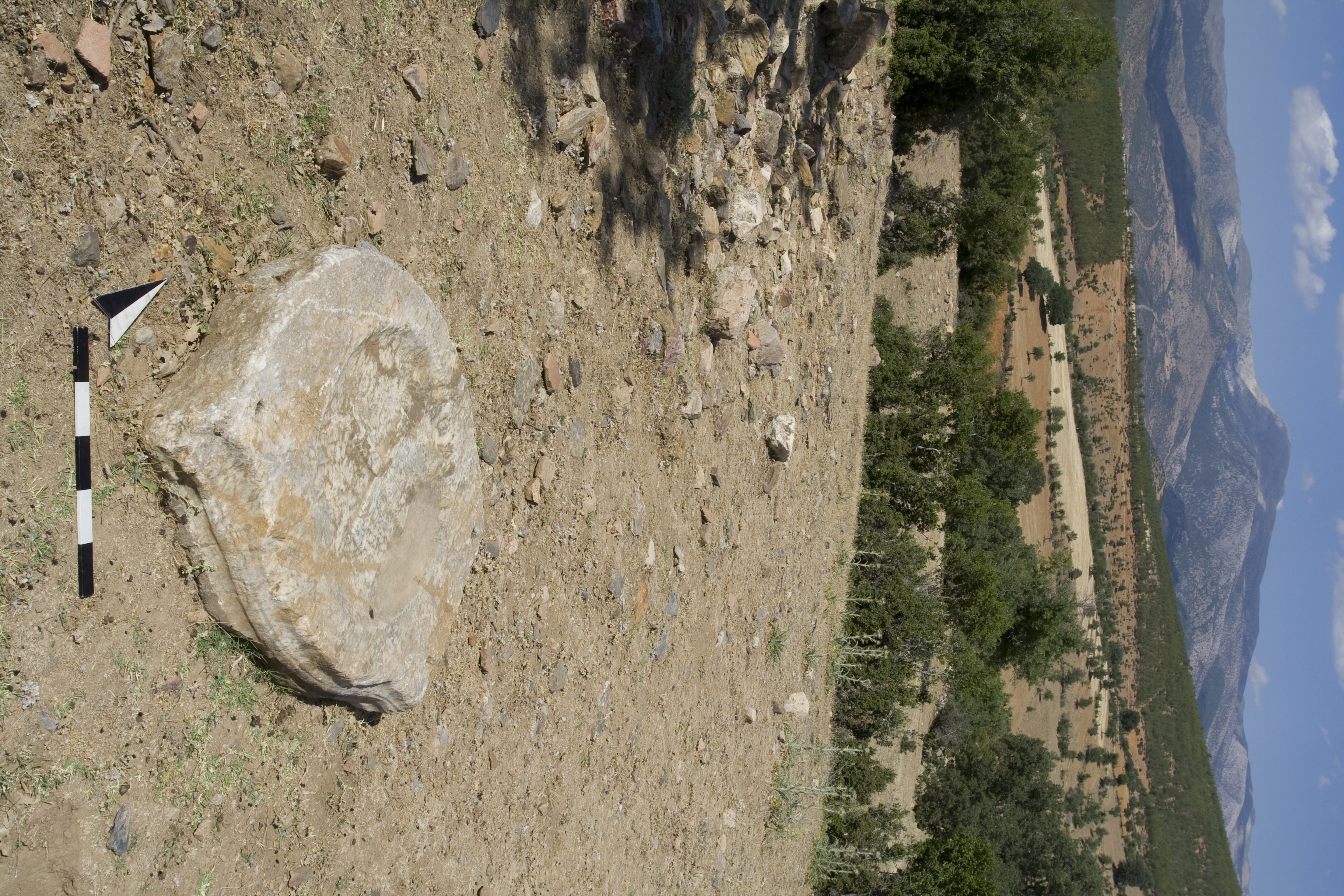
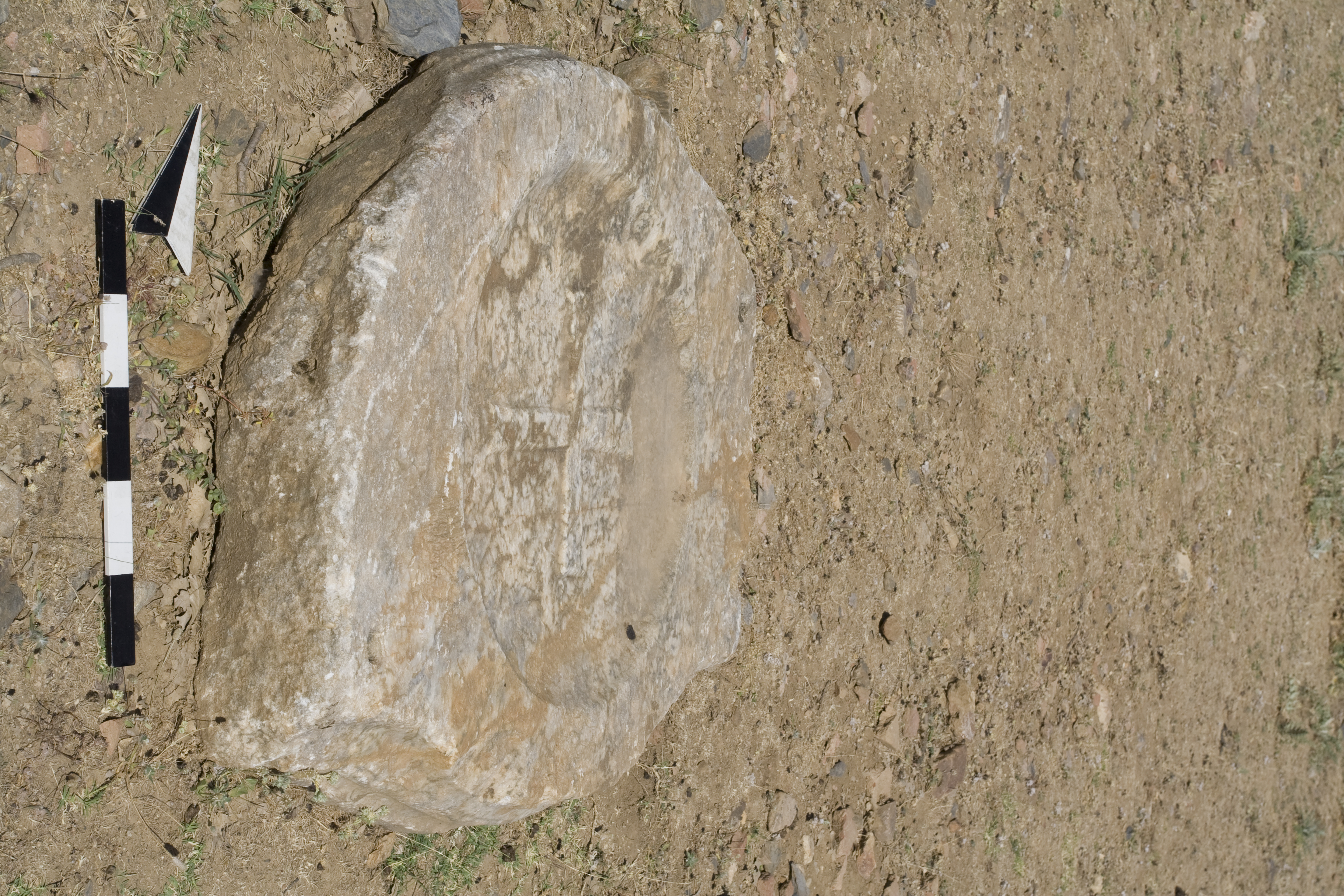
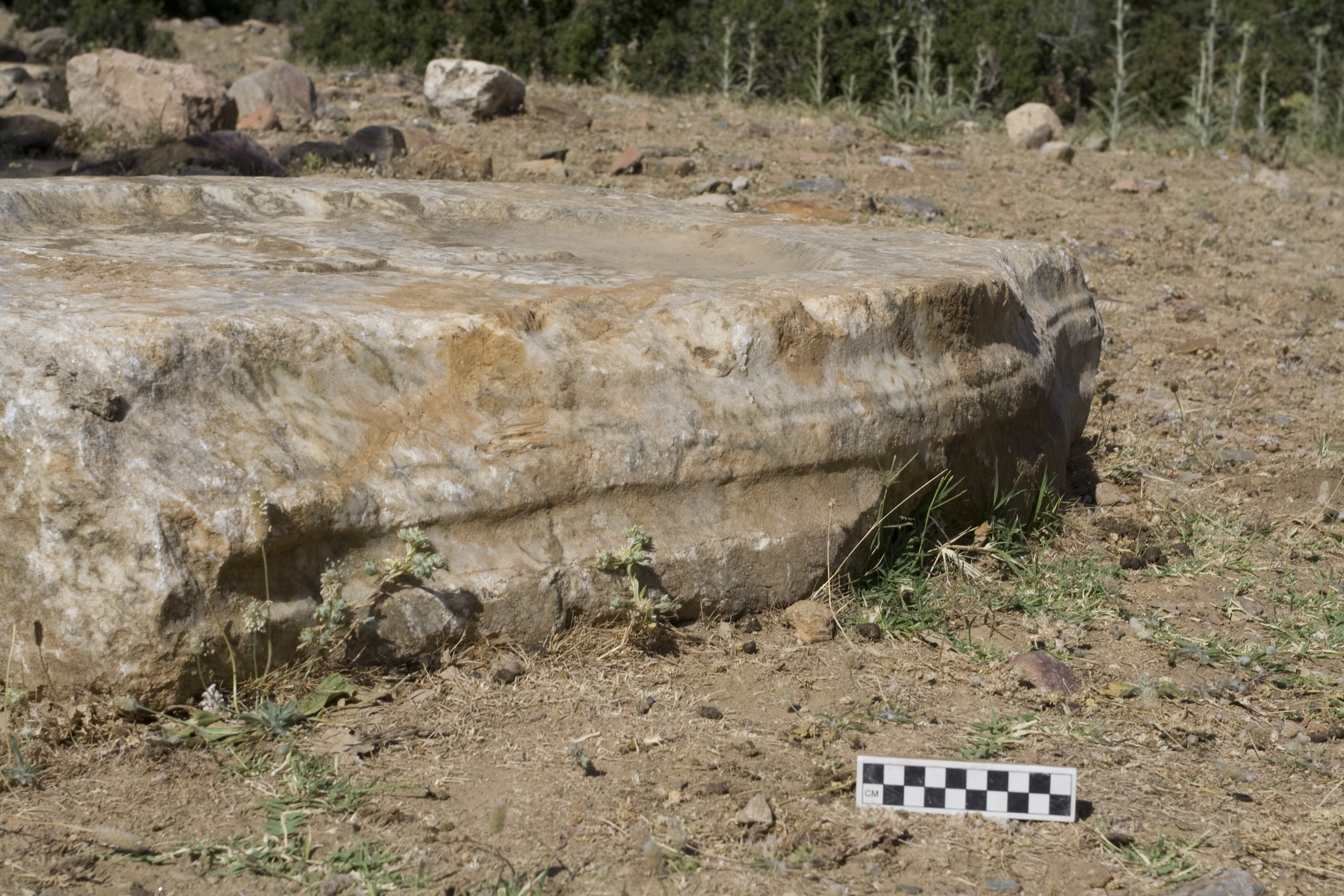
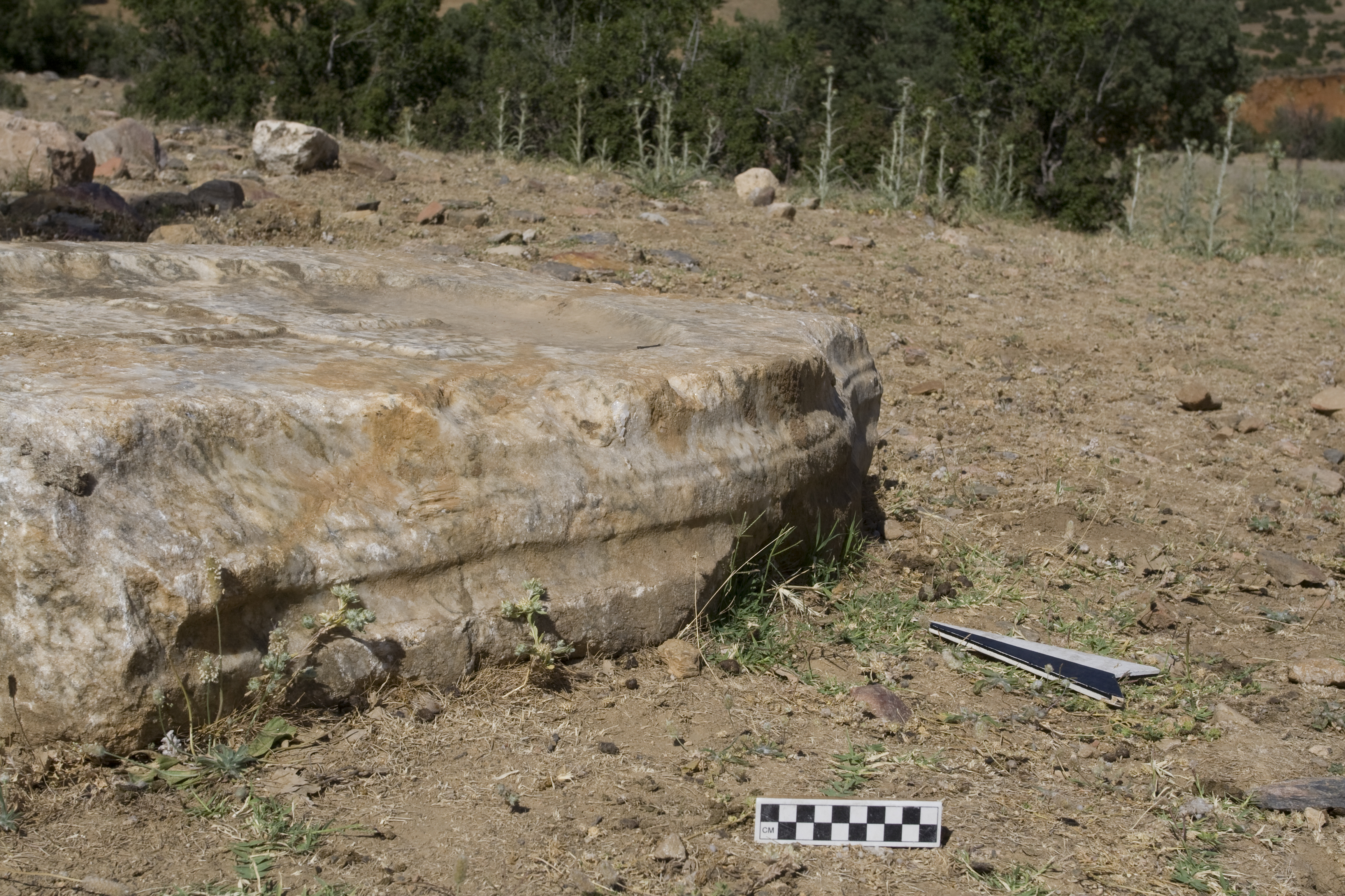
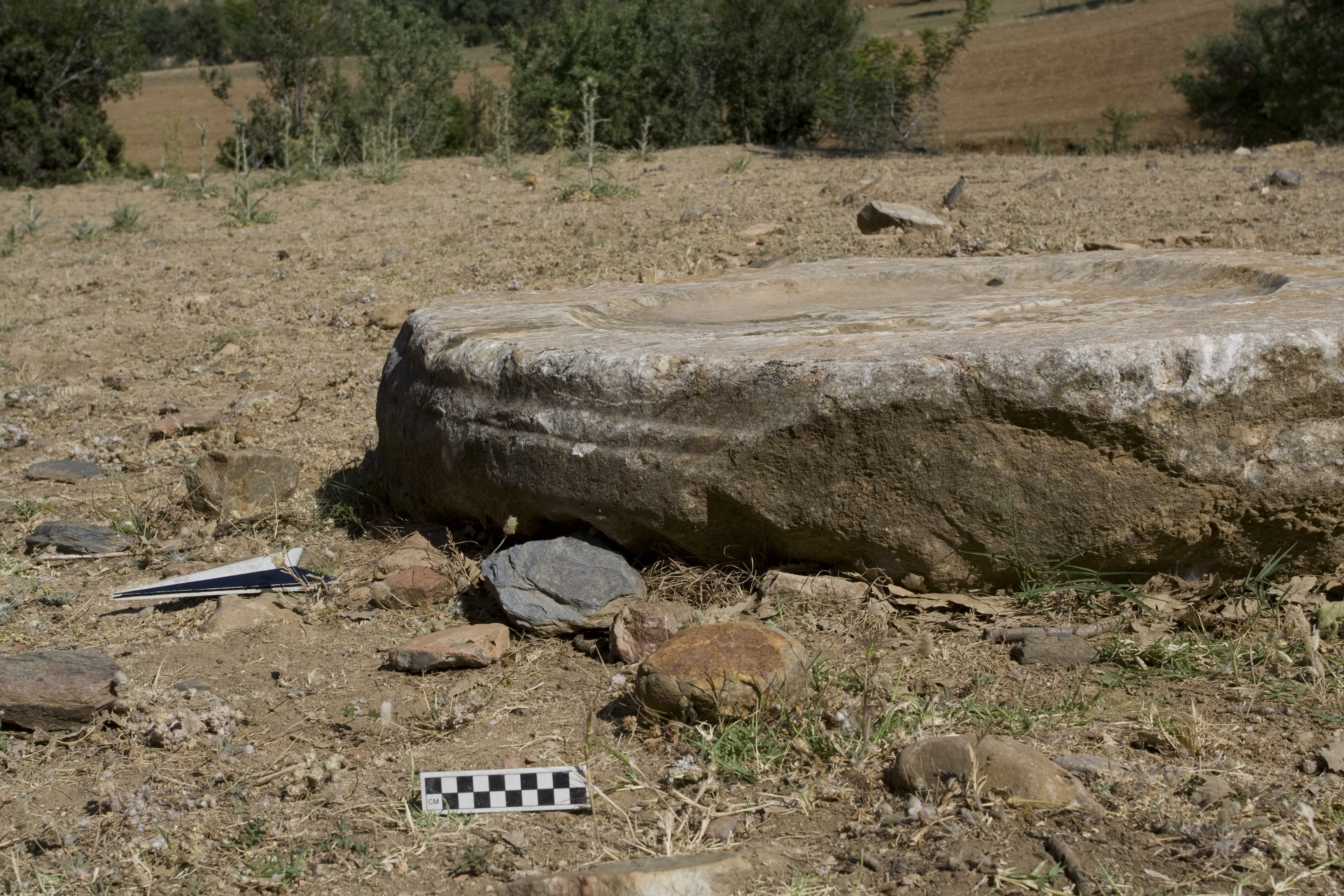
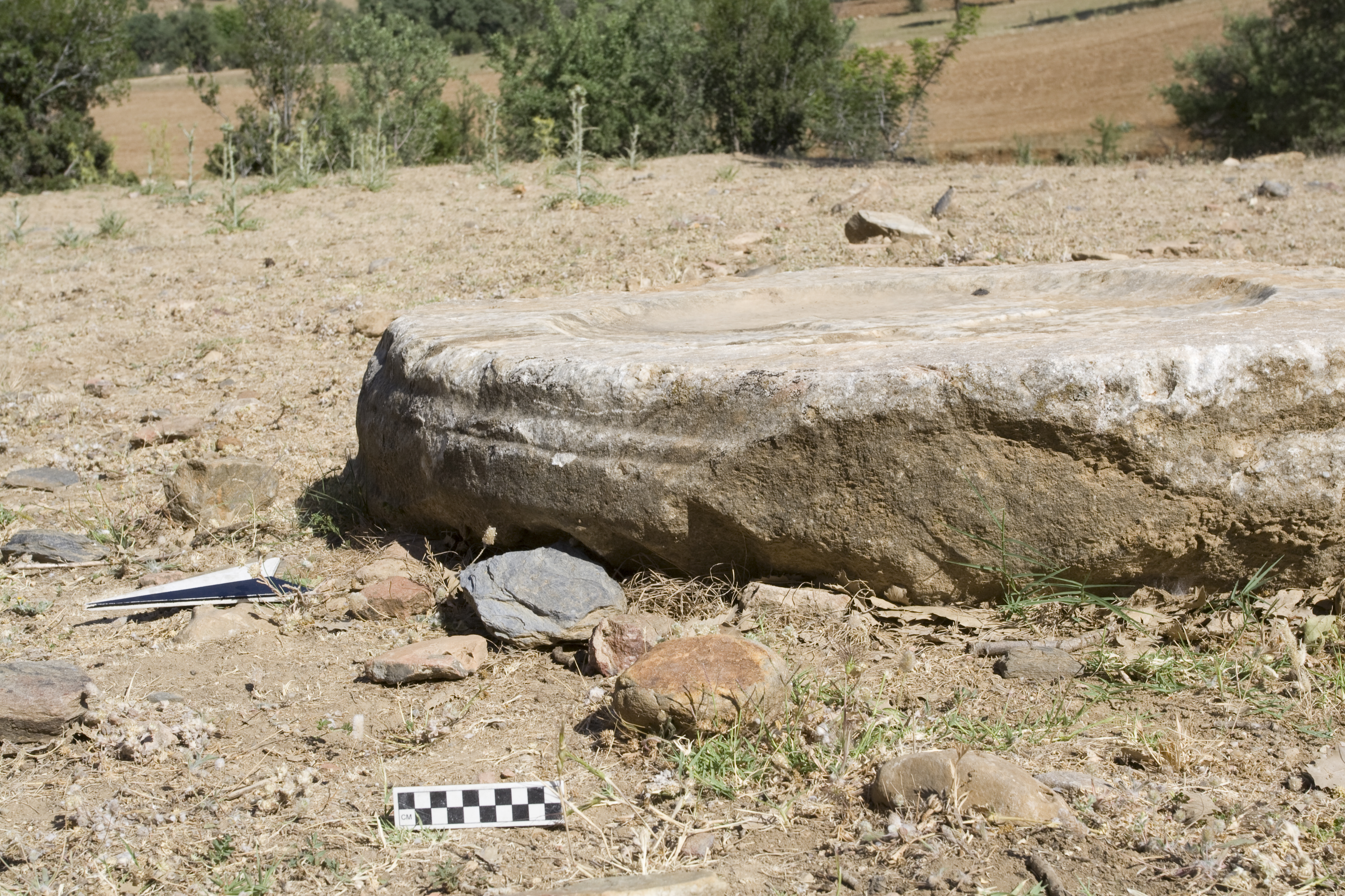
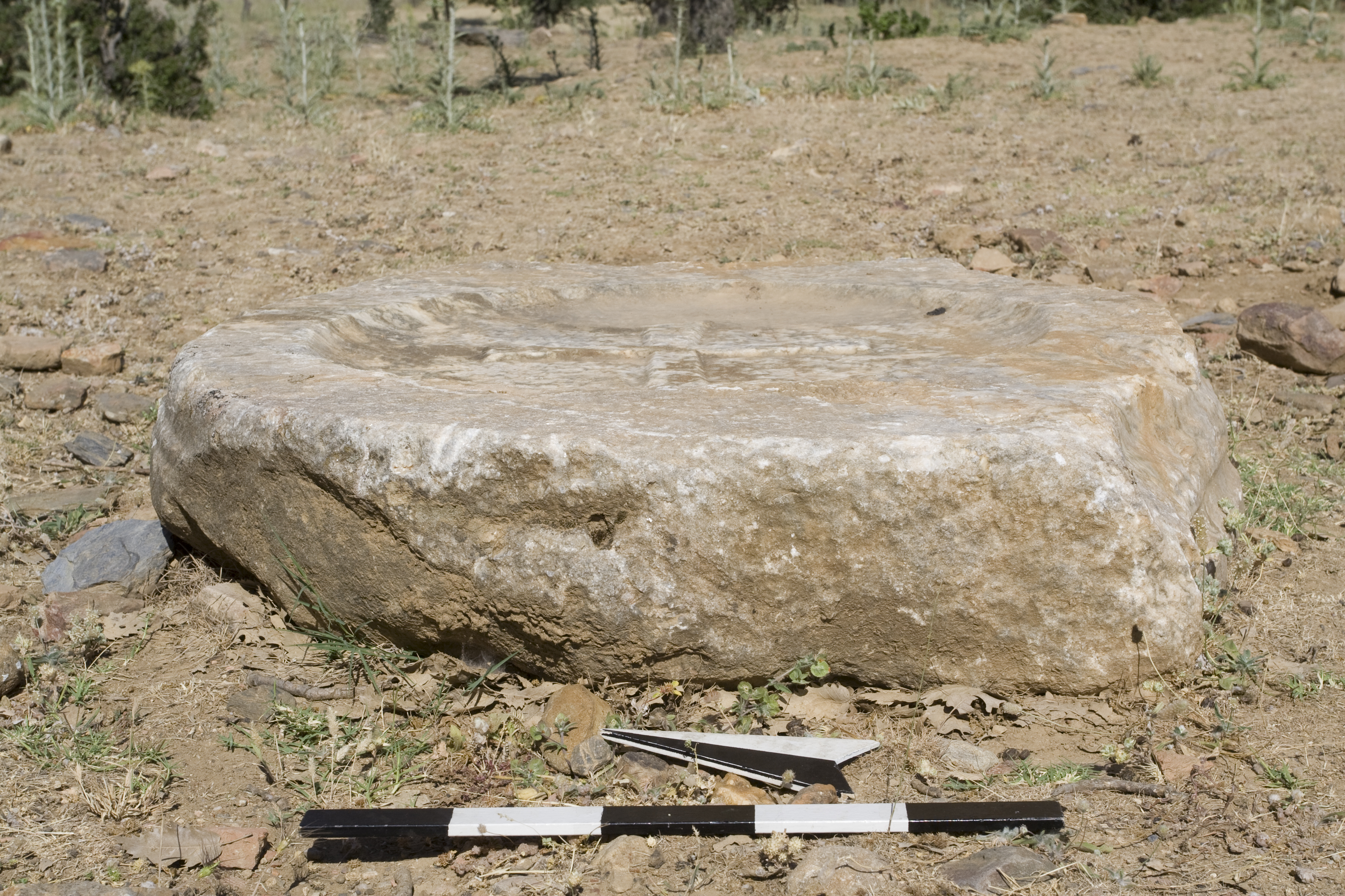
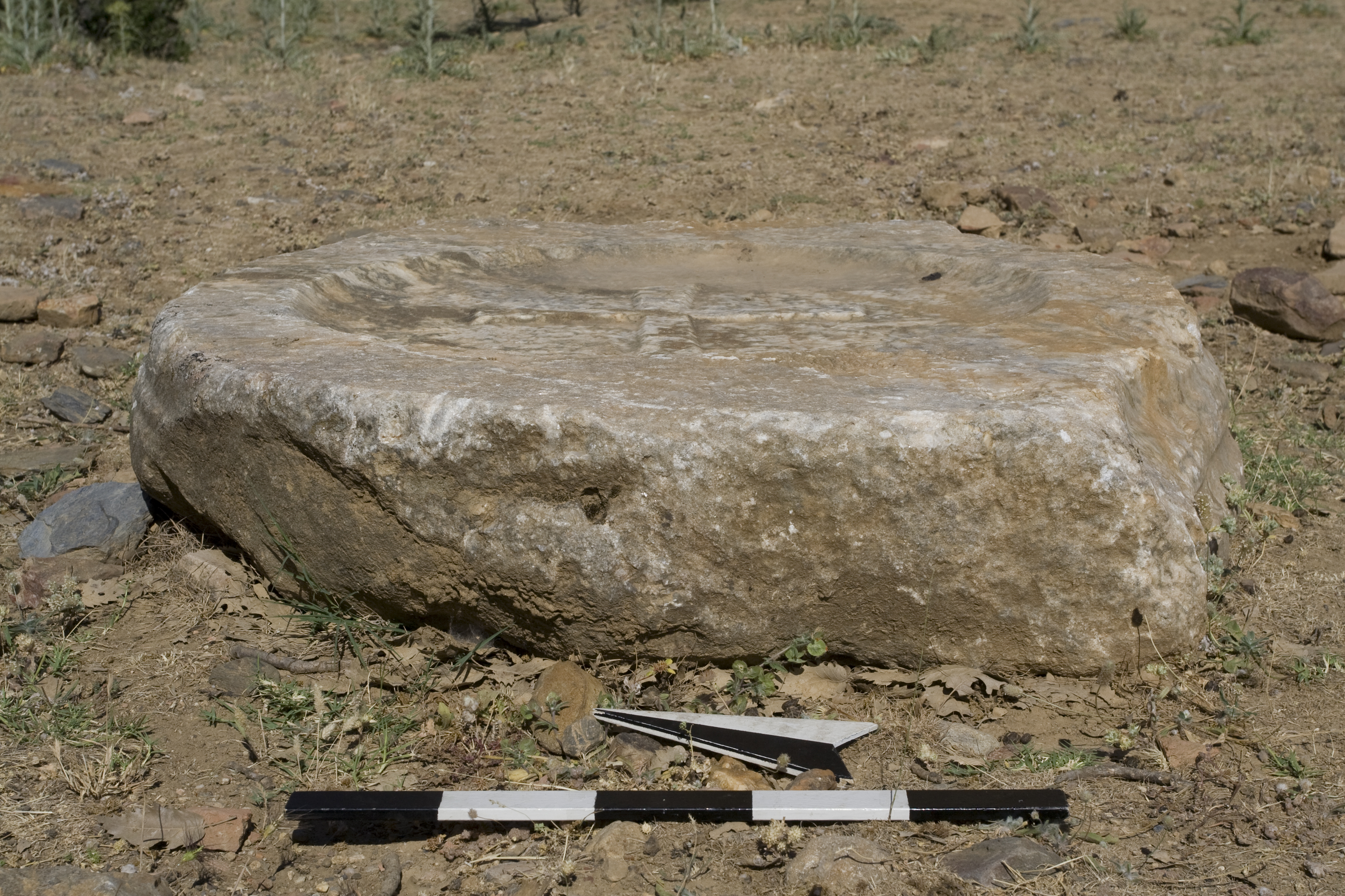
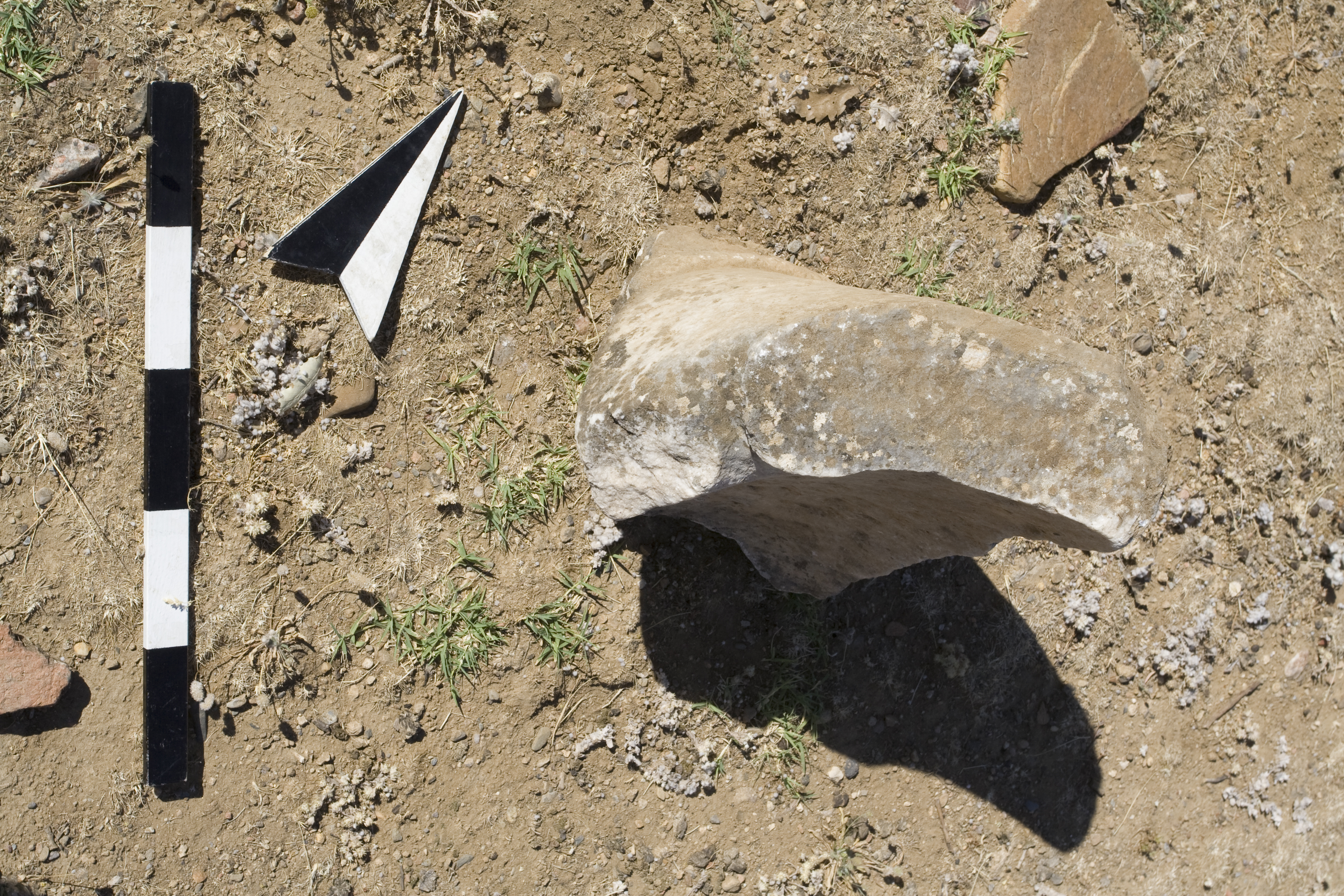
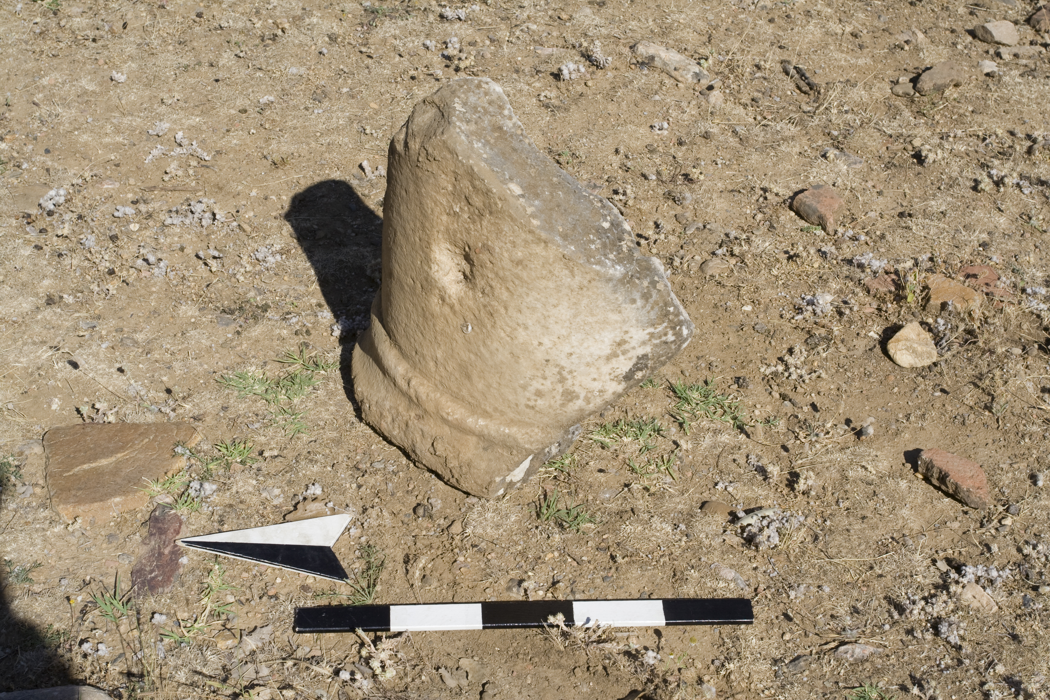
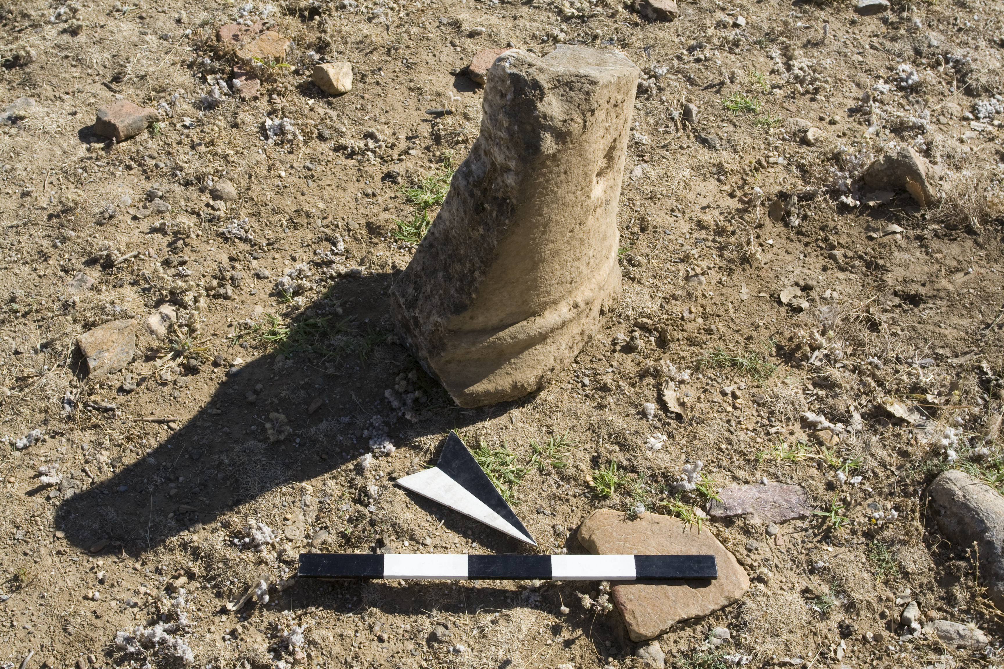
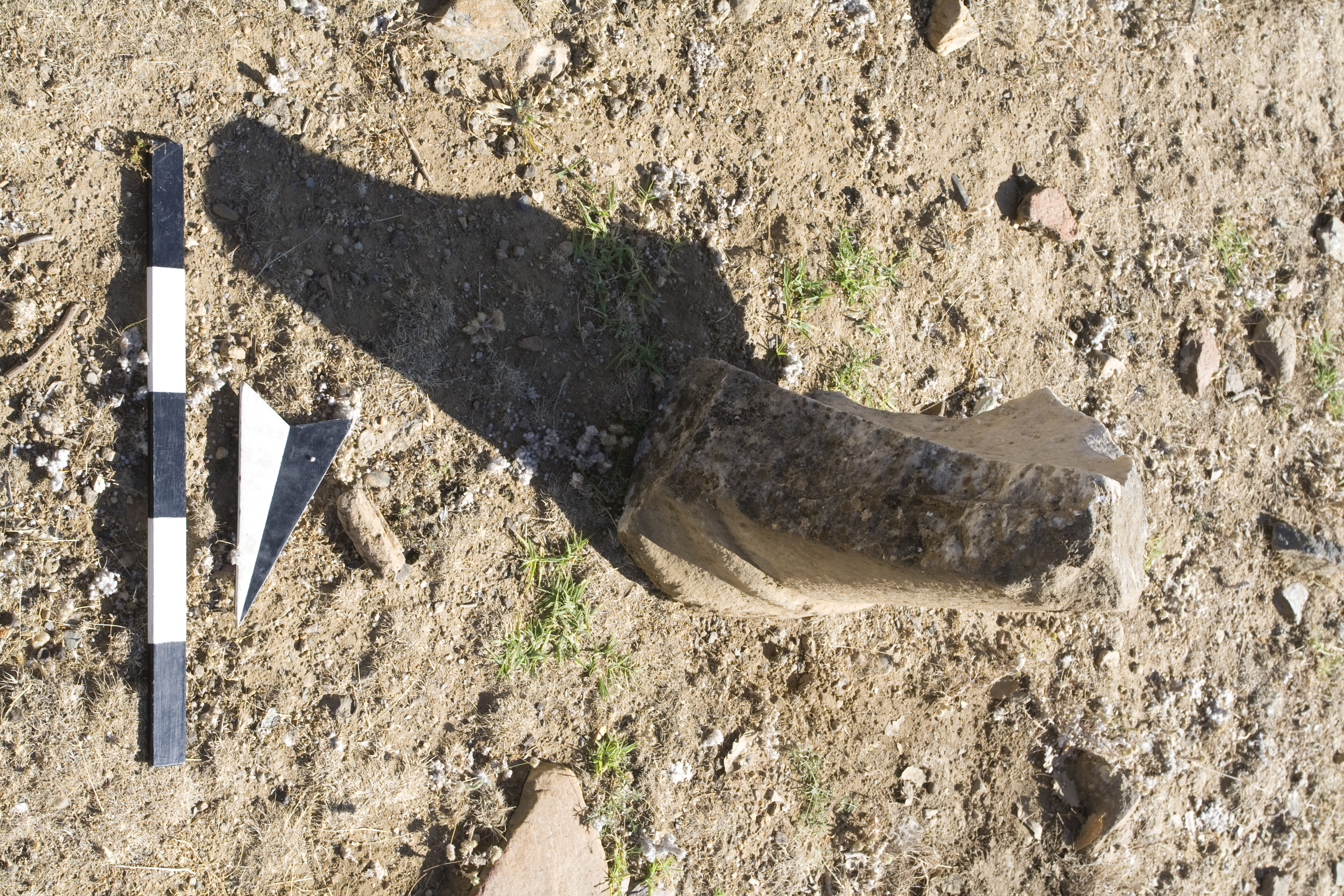
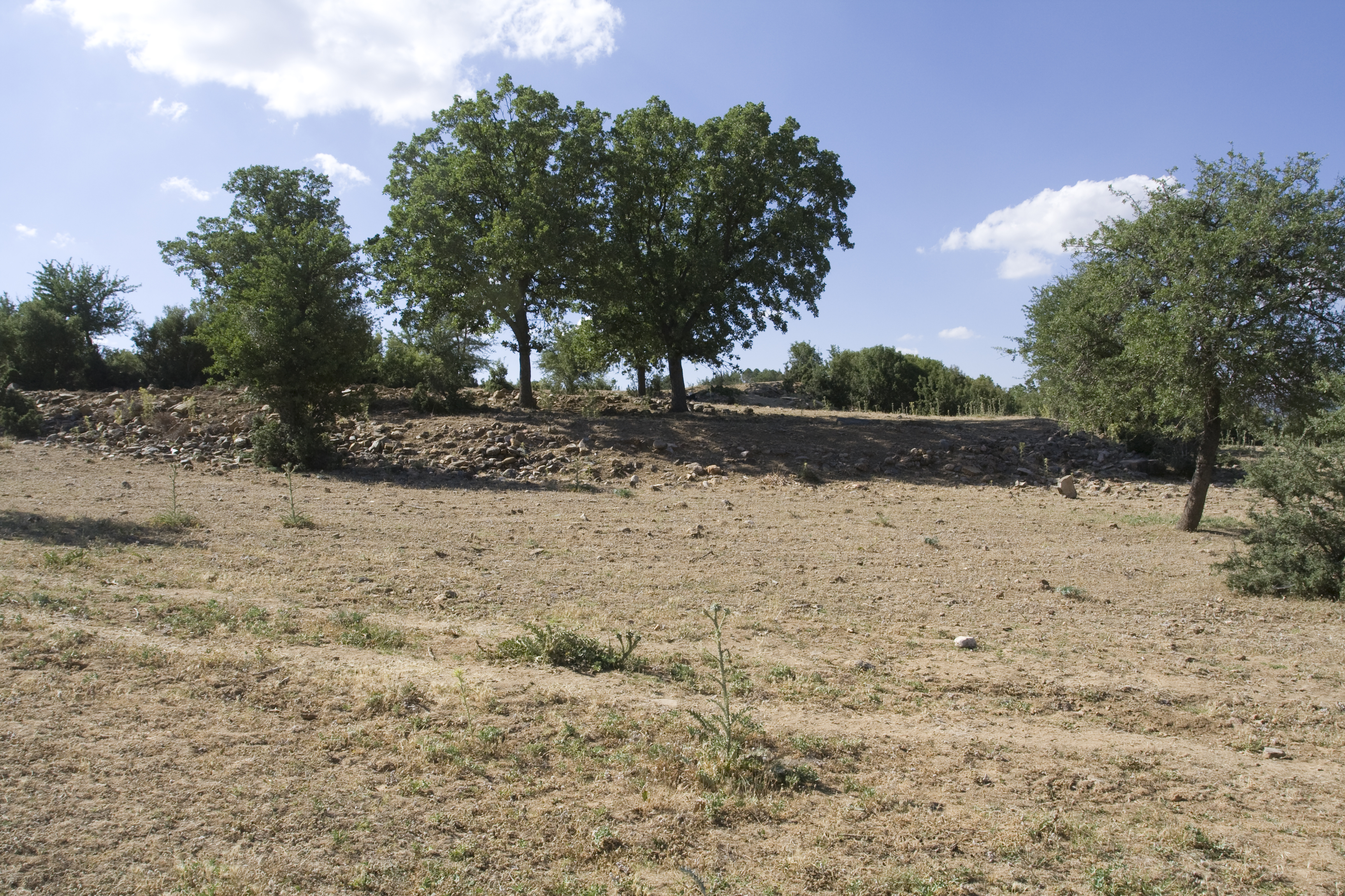
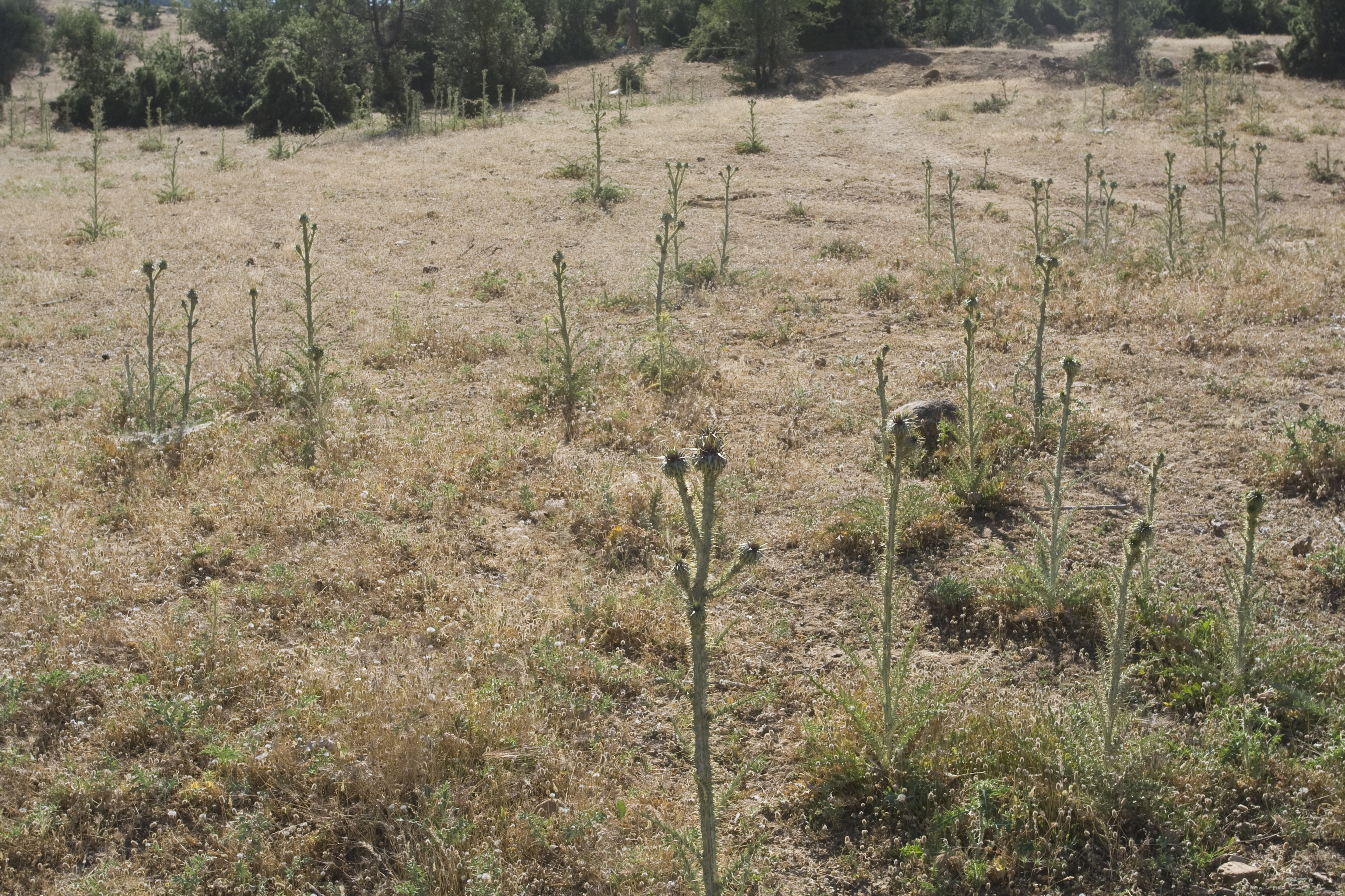
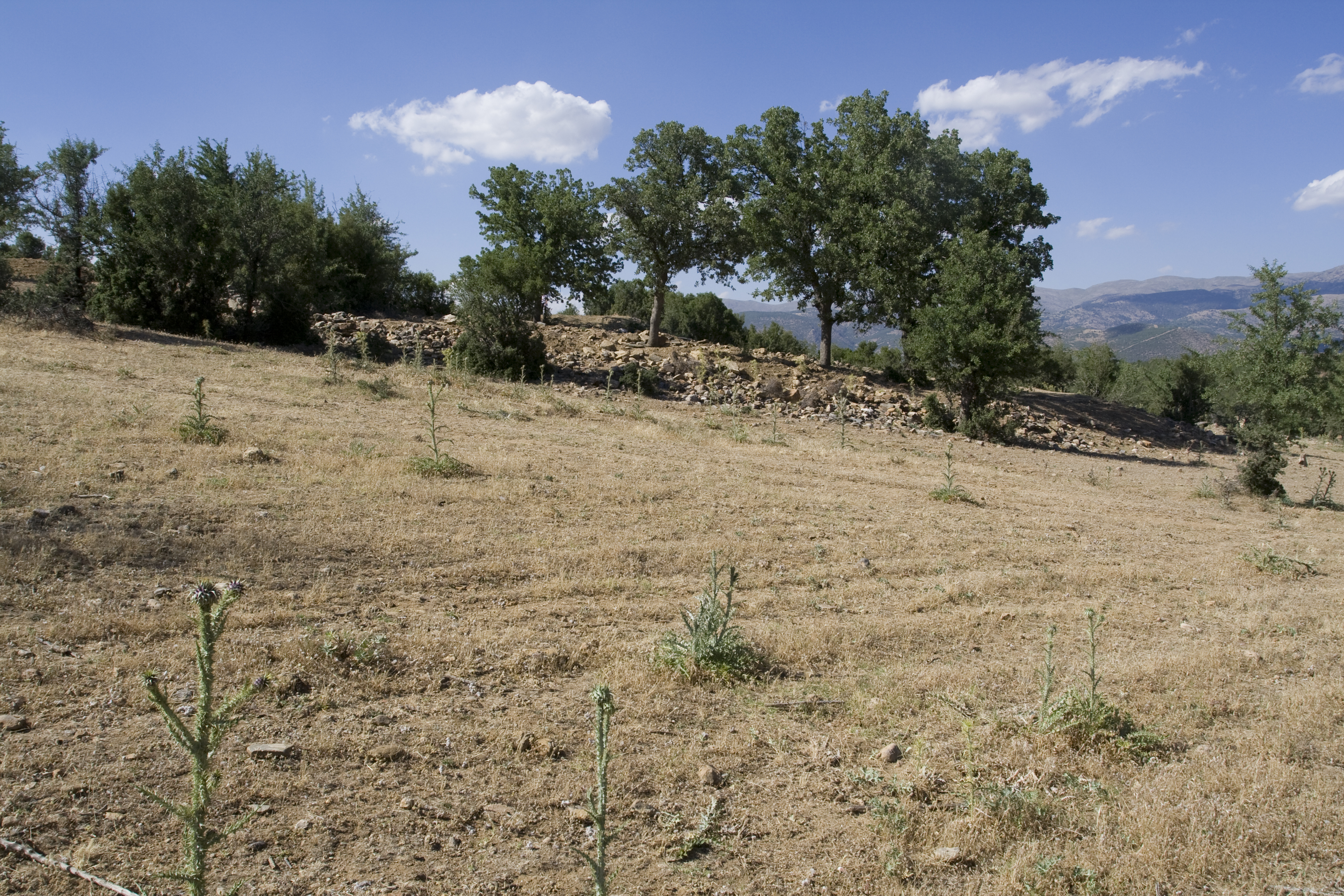
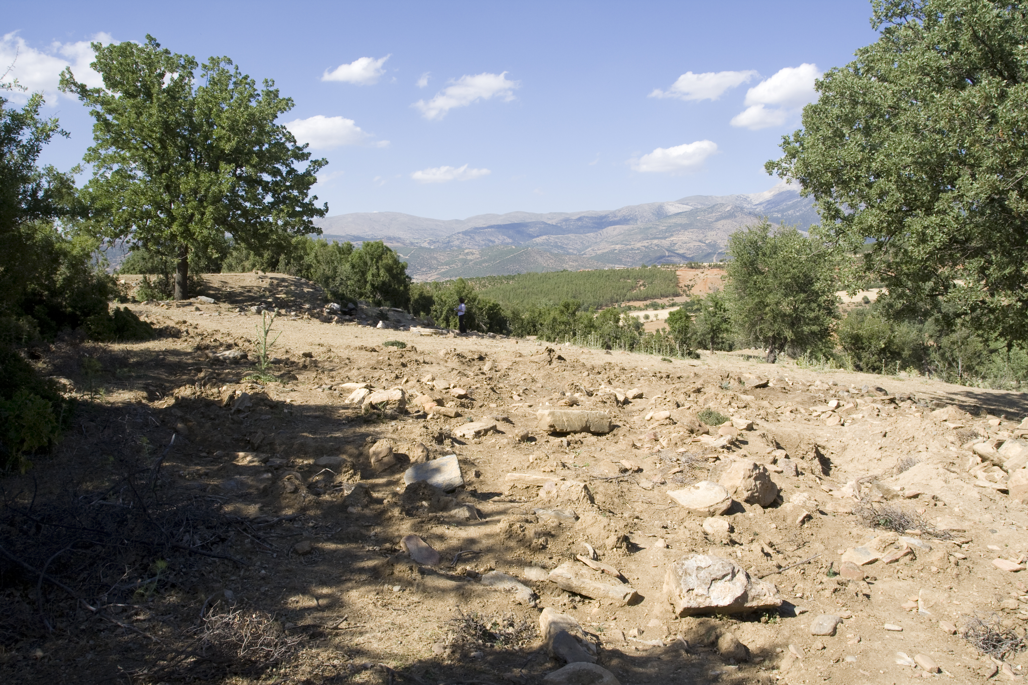
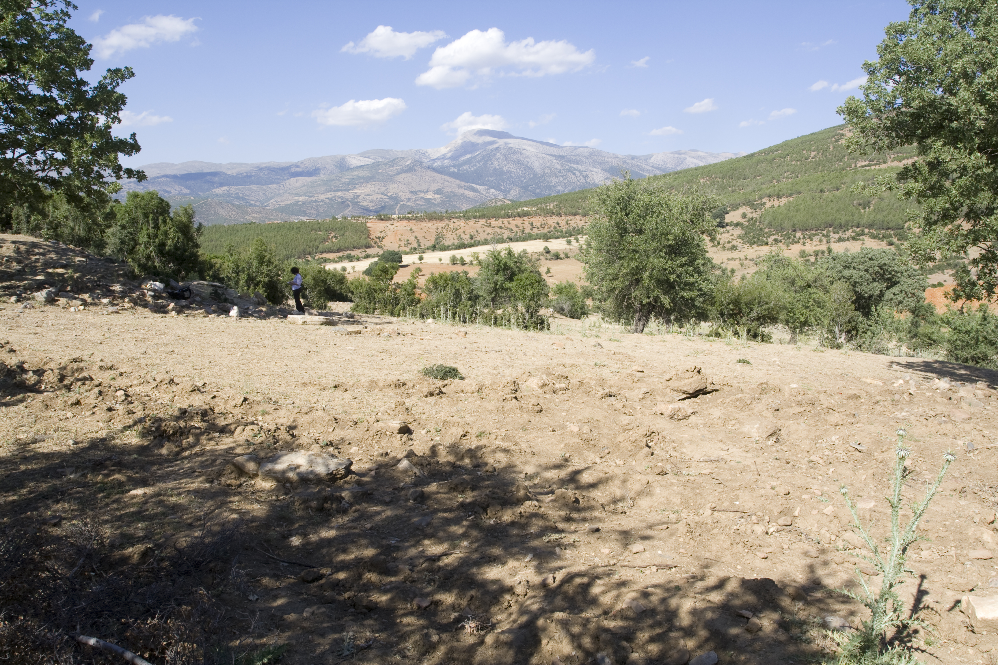
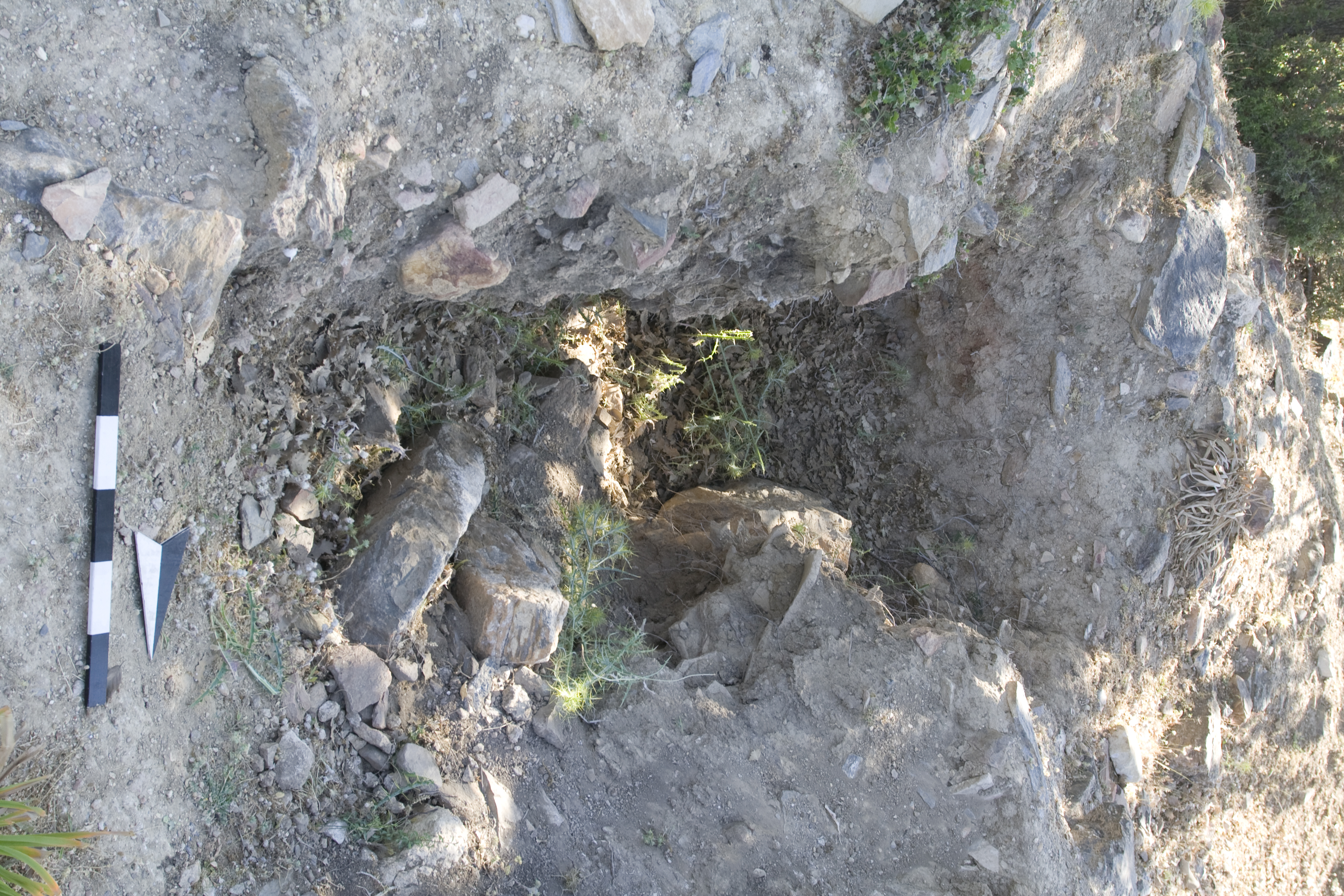
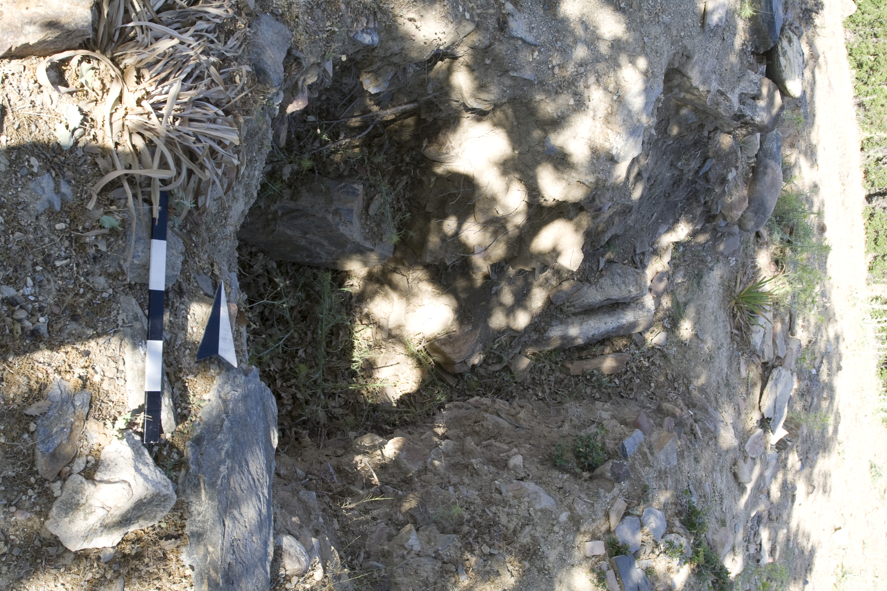
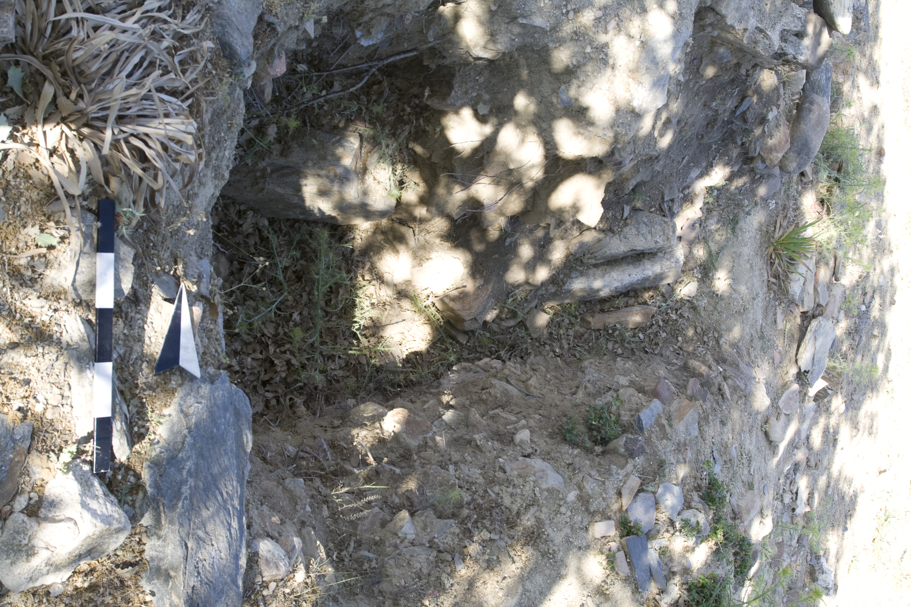
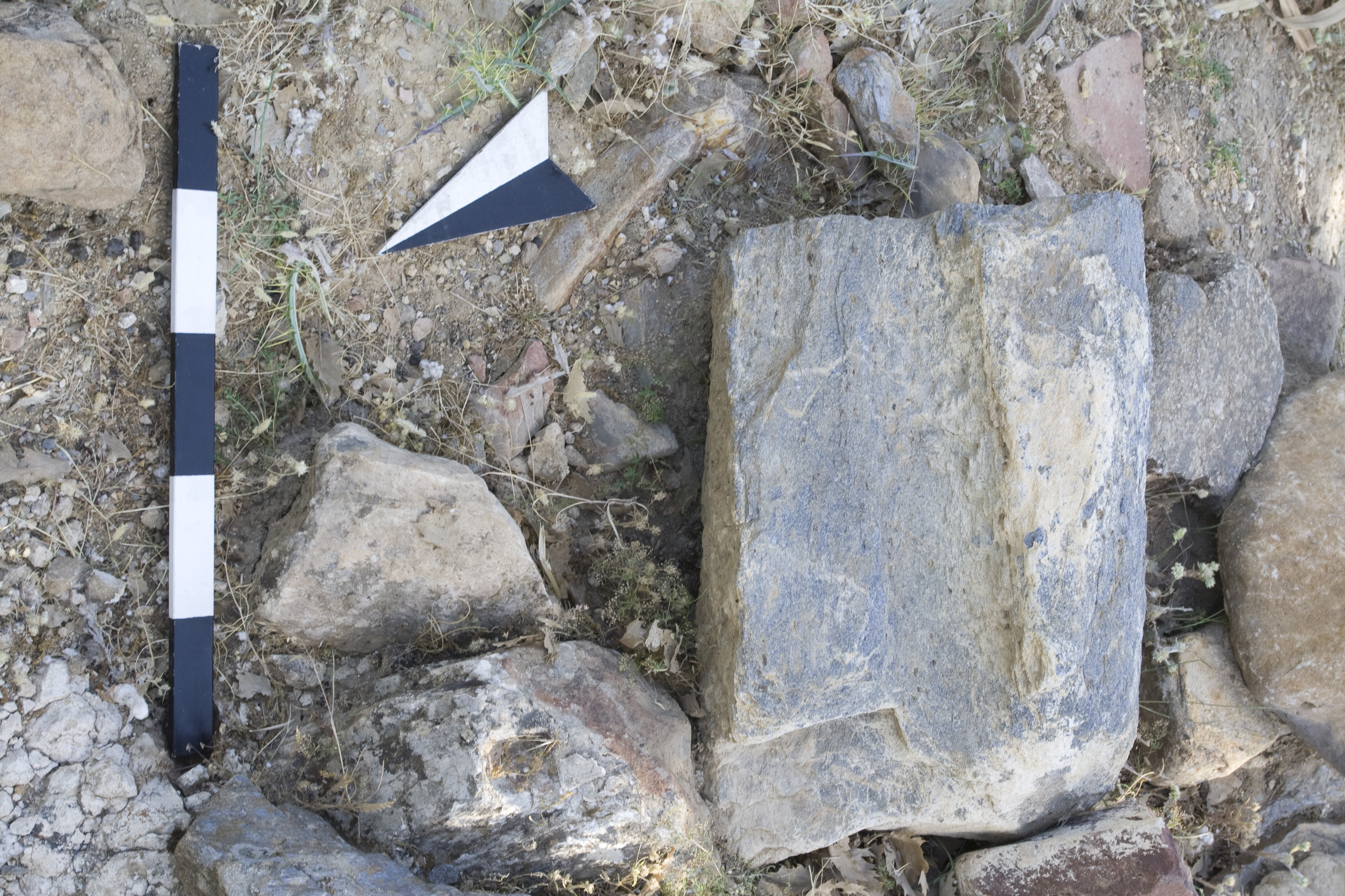
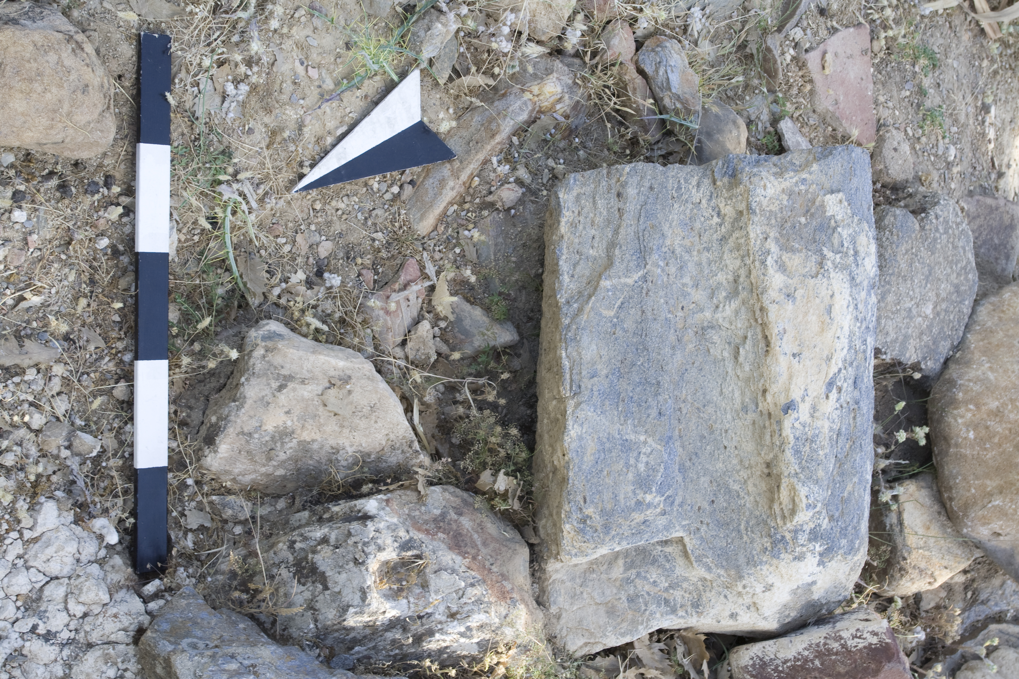
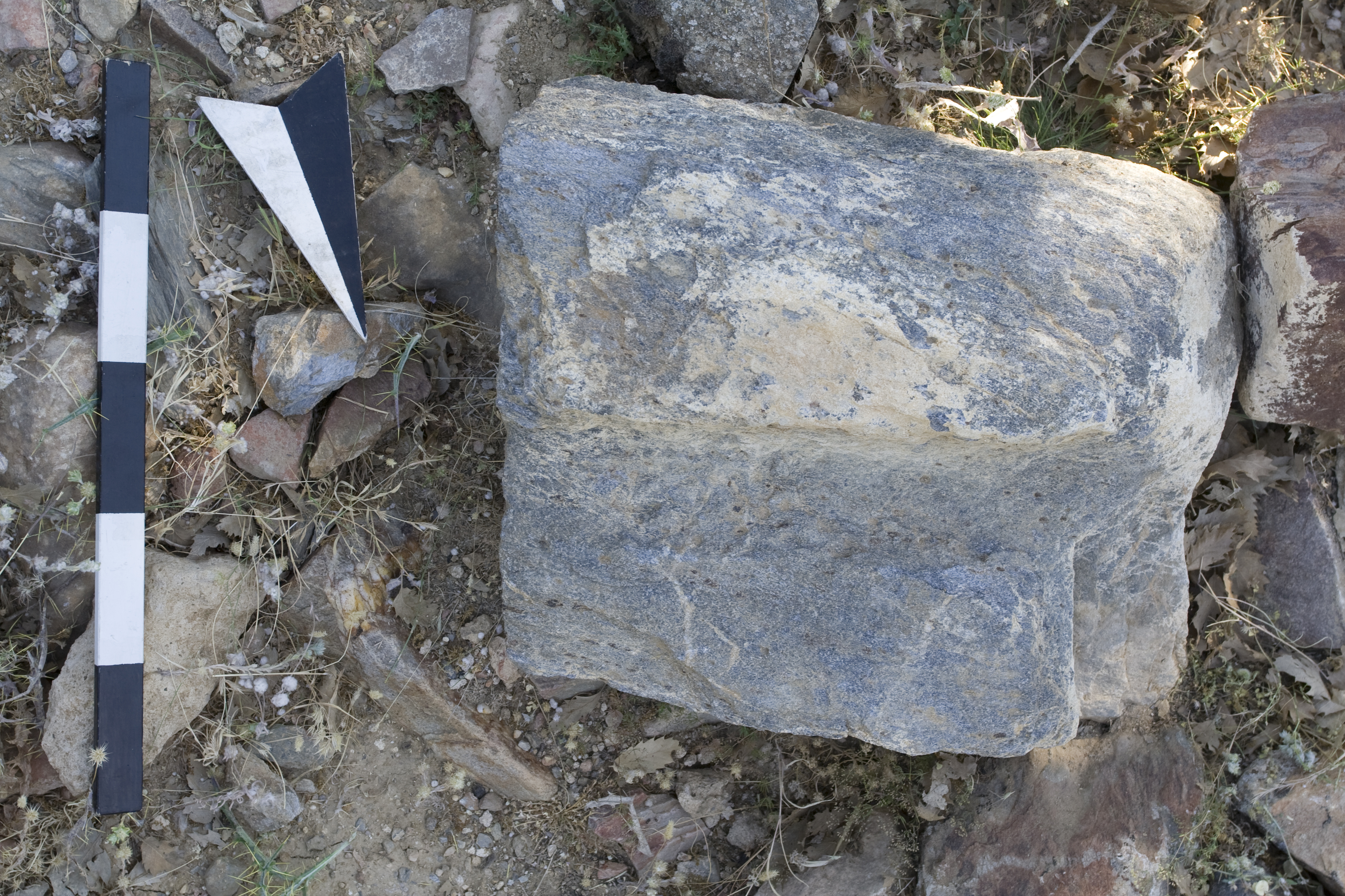
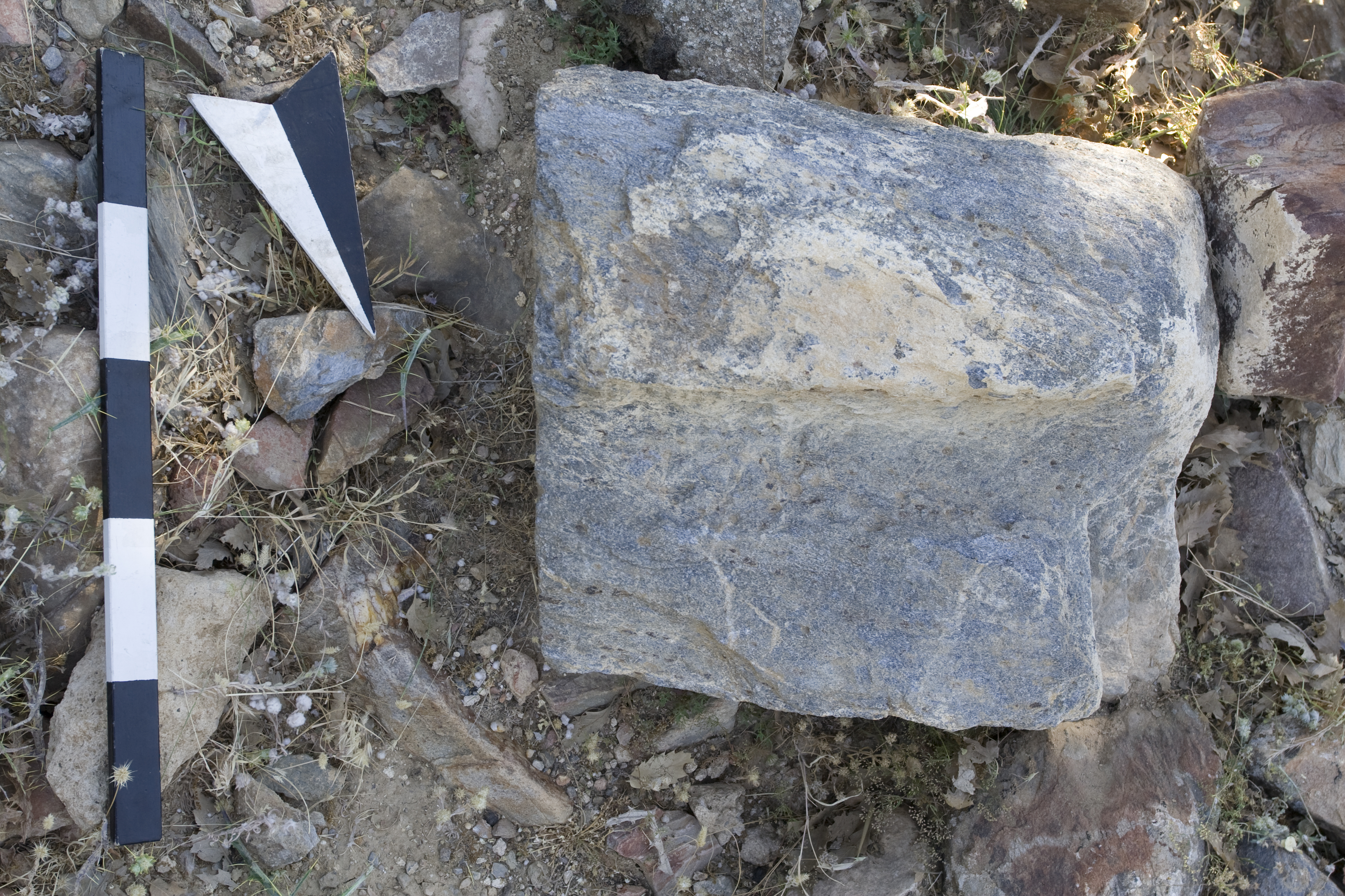
Local Information: Southeast Transect Latitude: 37.39.43.653 Longitude: 28.45.43.706 Elevation: 650m Dimensions: Ambo platform: L: 1.28m, W: 1.00m, Th: 0.22m ** Diameter soffit: 0.745m ** Basin:pres. H: 0.46 m; D: 0.11 m Description: The site is located 6 km southeast of Aphrodisias at Kocadere atop a fairly level natural terrace, approximately 60 m square, above the left (west) bank of the seasonal Kocadere stream at the base of steep hills. A shallow mound, oriented east–west and almost rectangular, occupies the center of the site, and at the east end of the terrace (approximately 20 m from the mound) are traces of a fragmentary north–south-oriented wall. Toward the south end of this wall, corresponding to the southeast corner of the walled-off complex, is a robber's pit, and scattered around it are cut-stone blocks, roof tiles, fragments of marble pavement, and a threshold block. The complex thus seems to comprise a walled precinct with a substantial building at the center and a number of subsidiary buildings roundabout. A dense layer of tile, brick, pithos, and pottery fragments blankets the site, and a number of agricultural processing blocks (D173) may be associated with the production of olive oil. Pottery collected at the site dates the complex securely to the Late Roman period and shows that primary occupation ended by the seventh to eighth century but continued in some fashion into the Middle Byzantine period. ** An ambo platform confirms the presence of a church at the site; it and a fragment of a marble basin were found on the terrace south of the mound. The basin, broken on all sides except for the bottom, stood on a molded base. The ambo platform is a round slab, with two rectangular projections on opposite sides (W: 0.74 m). The edges of the round central part are beveled, and the ends of the projections are unfinished or possibly broken. In each of the three preserved corners is a dowel hole, perhaps used to attach the platform to supporting colonettes or to the descending stairs. On the underside is a round recessed soffit, within which is carved a cross with enlarged termini in low relief (L: 0.45 m; W: 0.40 m). The arms of the cross are aligned with projections on the sides of the block. ** The church may be identified with the low mound at the center of the site, although no evidence of an apse is visible at the eastern end, which is buried under debris and scrub oak. No other contemporary settlements are nearby, but an earlier one is located farther up the hill toward the northwest; surface finds there indicate this other site was occupied only in the Early Imperial period. While the full extent of the Kocadere complex is unclear, its isolated location in the hilly countryside and organization around a central building are suggestive of a monastic settlement. Finds: Systematic Pottery Collection conducted 22-June-2007 ** [CR, CMB, CKB, HA, AC]
Types
Other
Metadata
Show full item recordCollections
Remediation of Harmful Language
The University of Michigan Library aims to describe library materials in a way that respects the people and communities who create, use, and are represented in our collections. Report harmful or offensive language in catalog records, finding aids, or elsewhere in our collections anonymously through our metadata feedback form. More information at Remediation of Harmful Language.
Accessibility
If you are unable to use this file in its current format, please select the Contact Us link and we can modify it to make it more accessible to you.