 Access by request
E006: Timeles Aqueduct, Harami Deresi Tunnel and Conduit
Aphrodisias Regional Survey
2007-05-26
View/


Citation
Page reference: Christopher Ratté and Peter D. De Staebler (eds.). Aphrodisias V. The Aphrodisias Regional Survey (Verlag Philipp von Zabern: Darmstadt/Mainz, 2012), 262, 267, 273, 276, 279, 281, 301 - Book catalogue no.: Aqueducts cat. 6. <http://hdl.handle.net/2027.42/92936>
Other Identifiers
E006
Subjects
Waterworks 4: Roman
Description
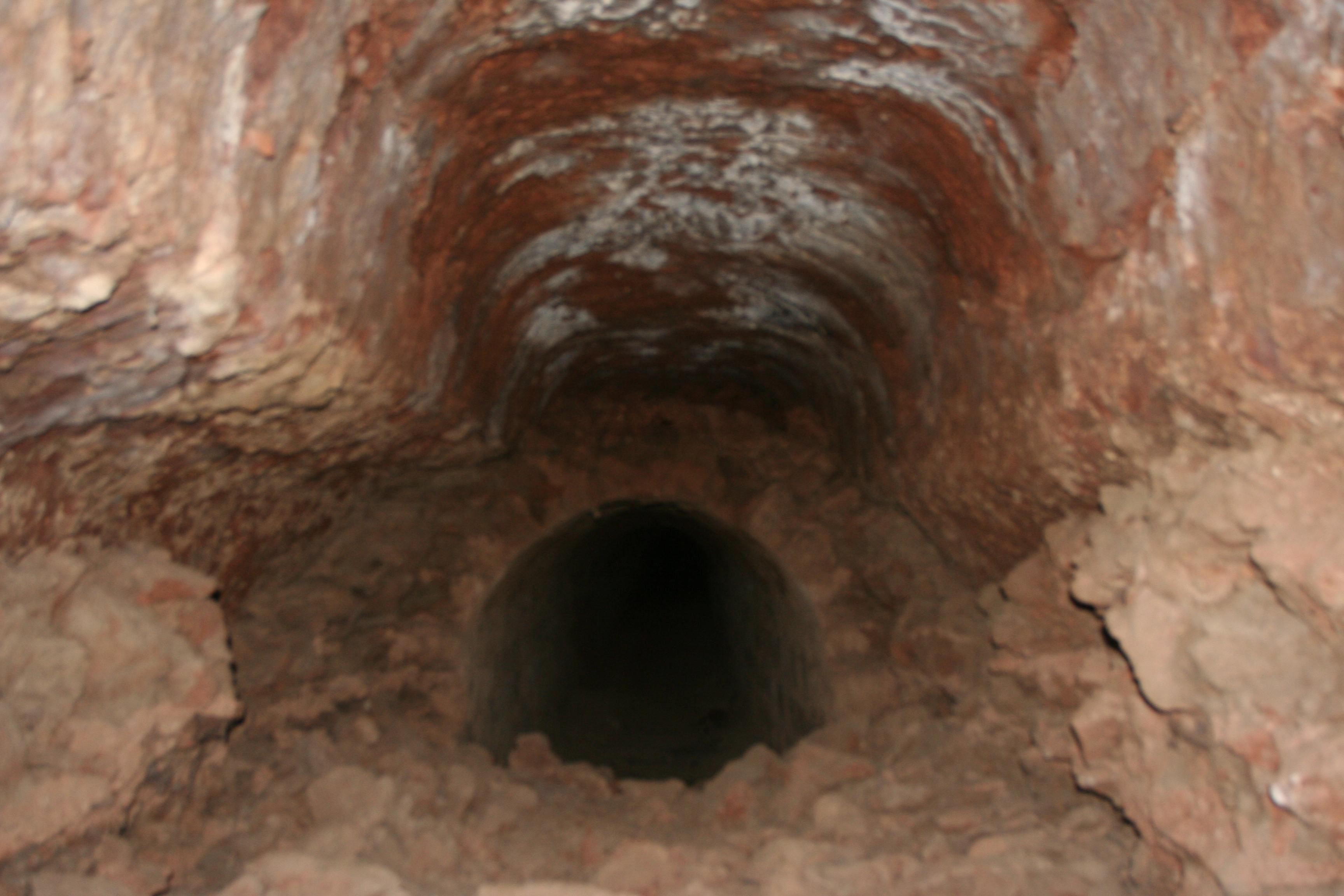
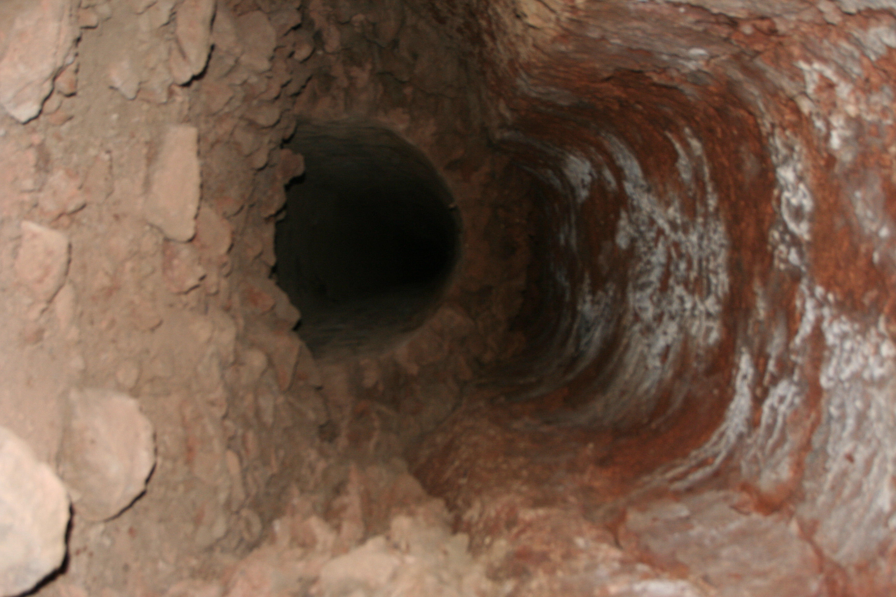
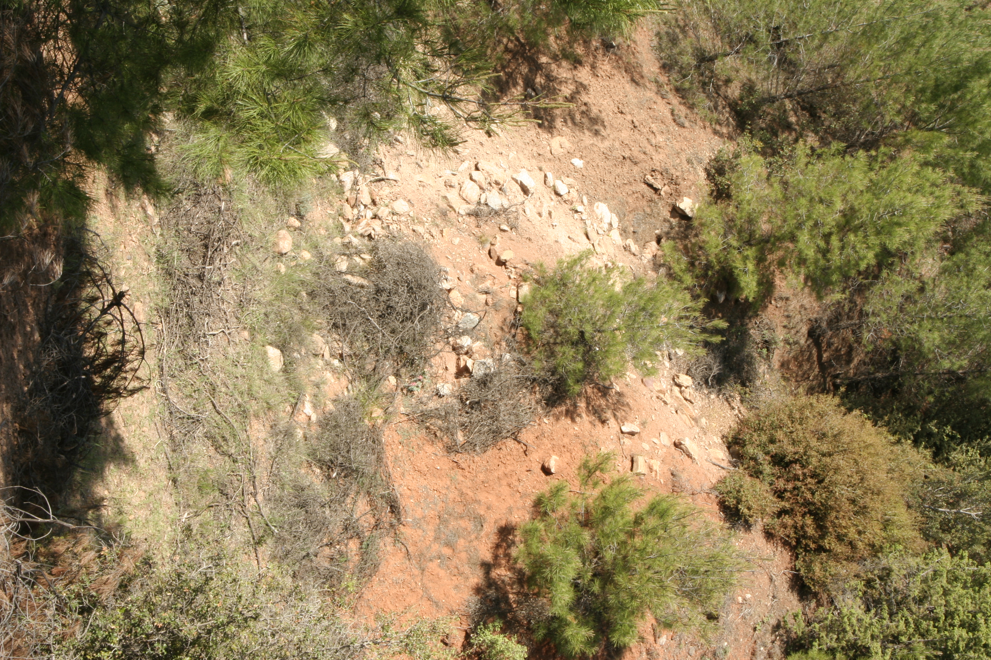
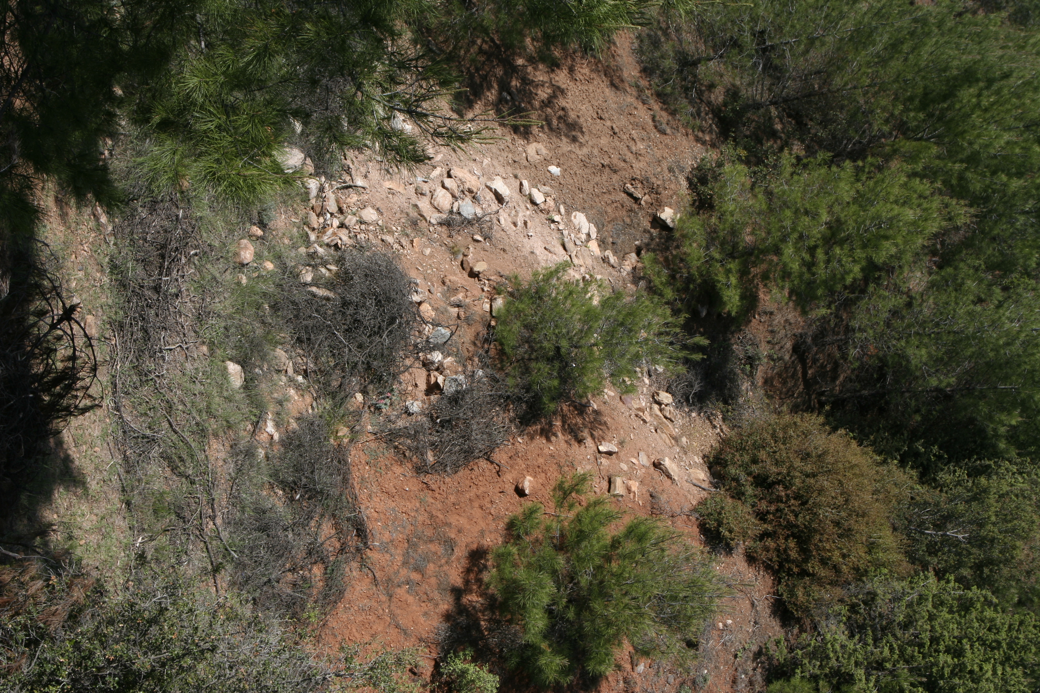
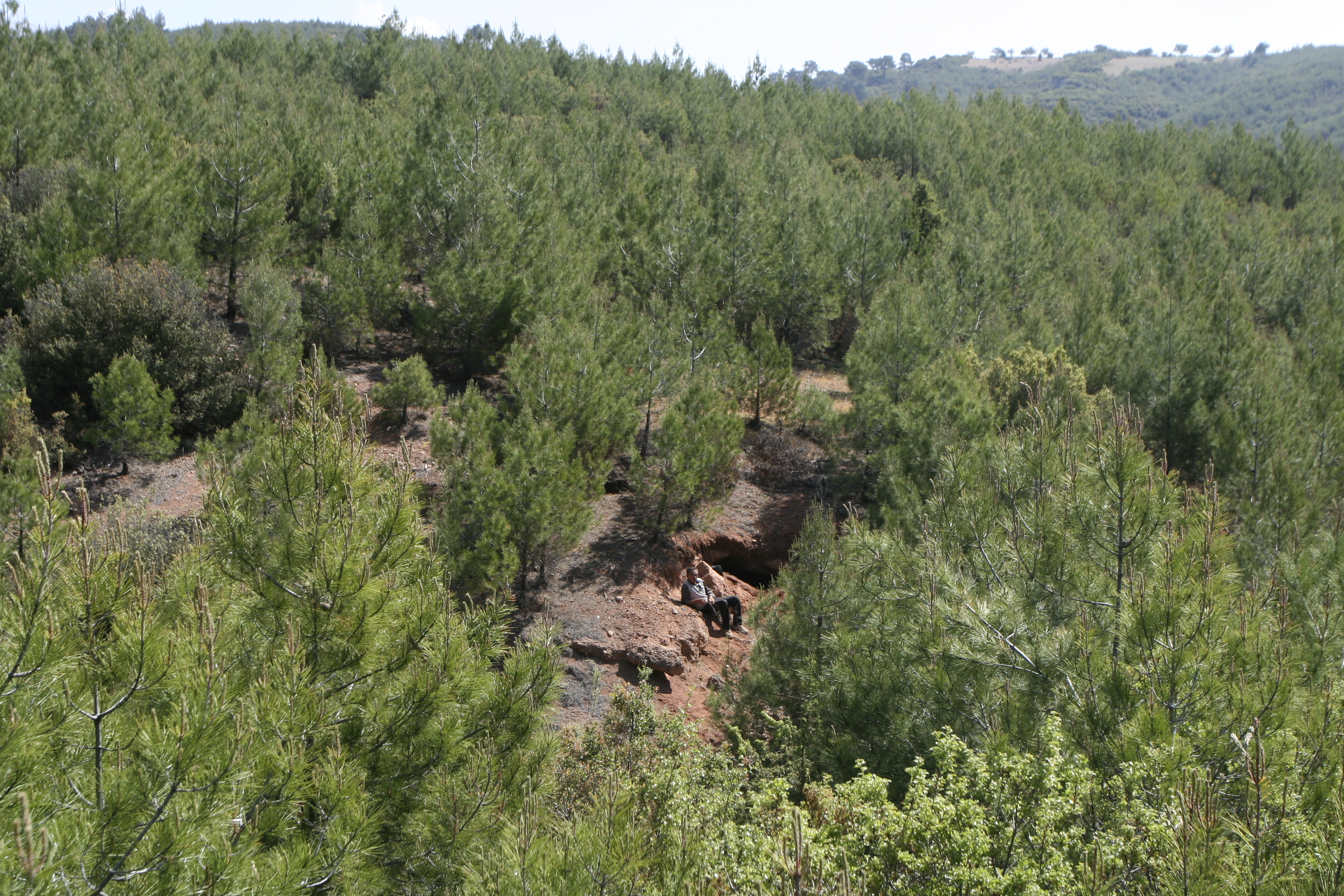
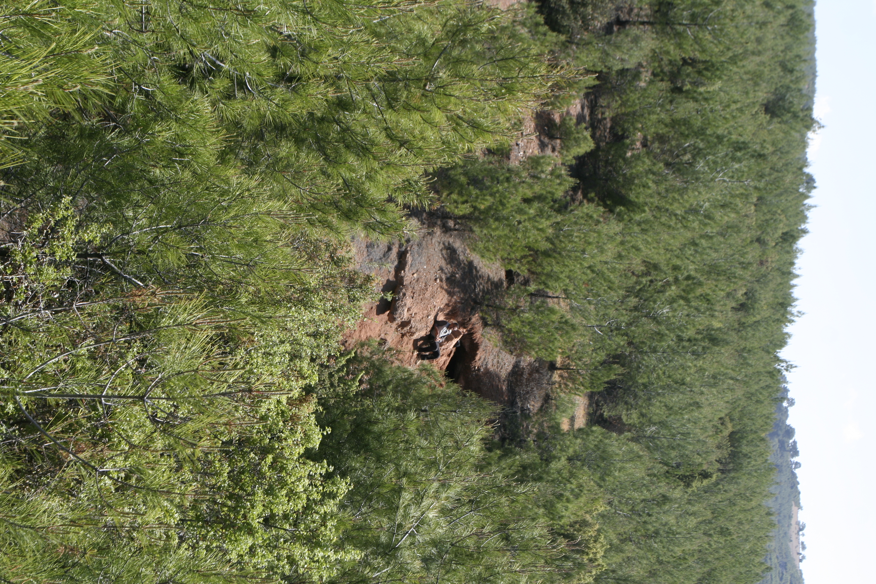
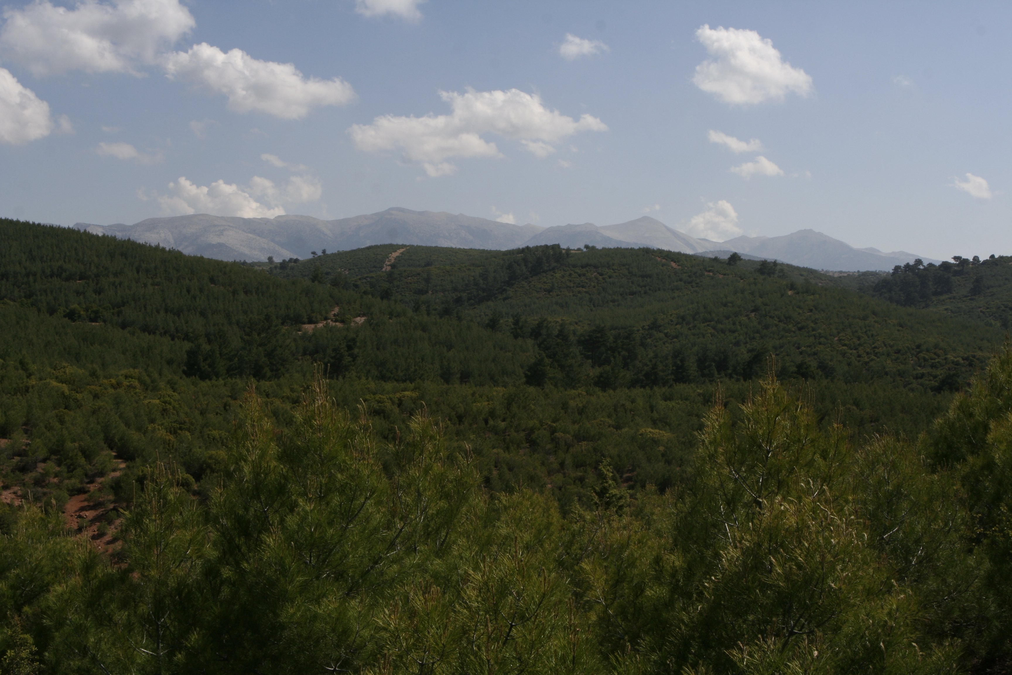
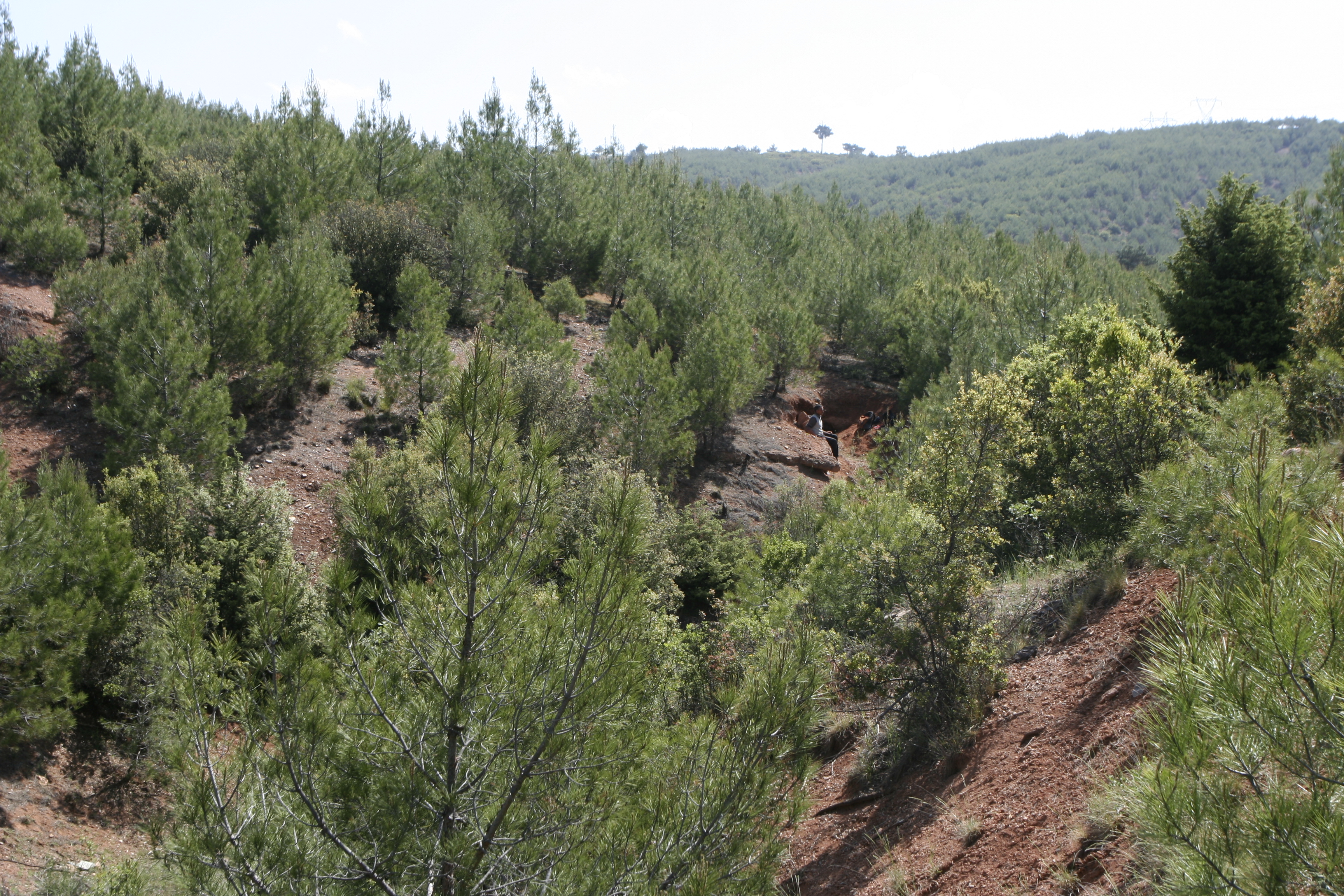
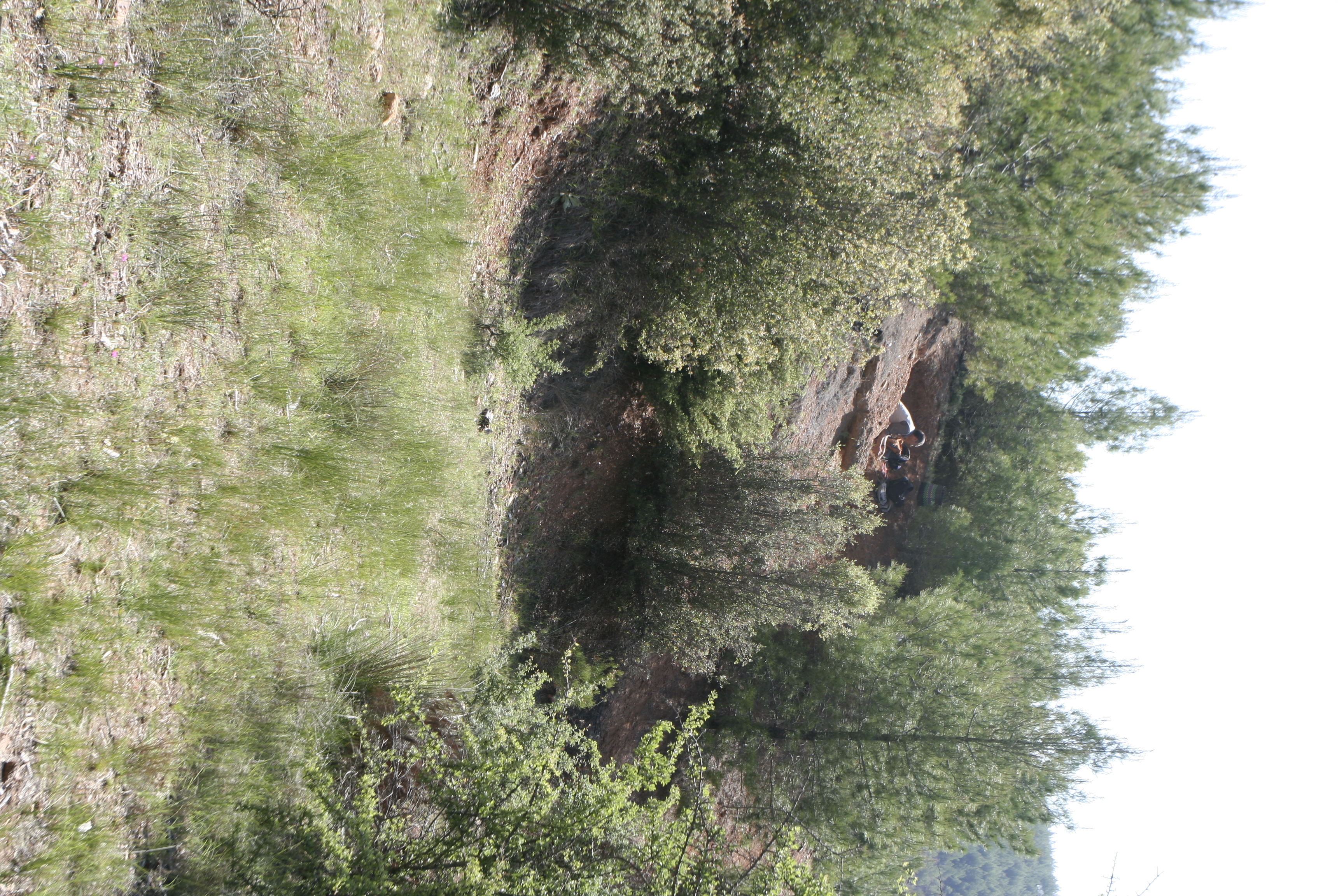
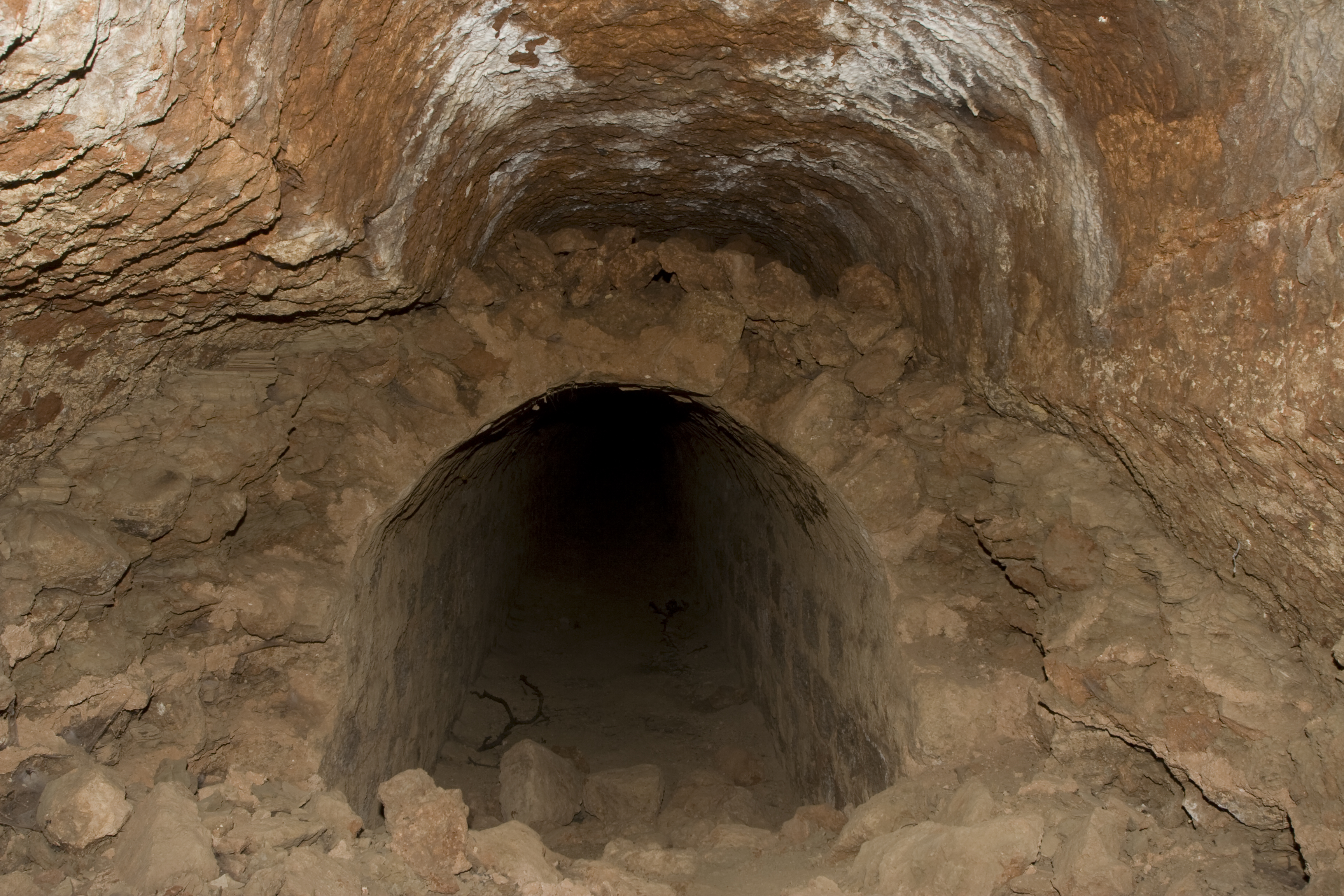
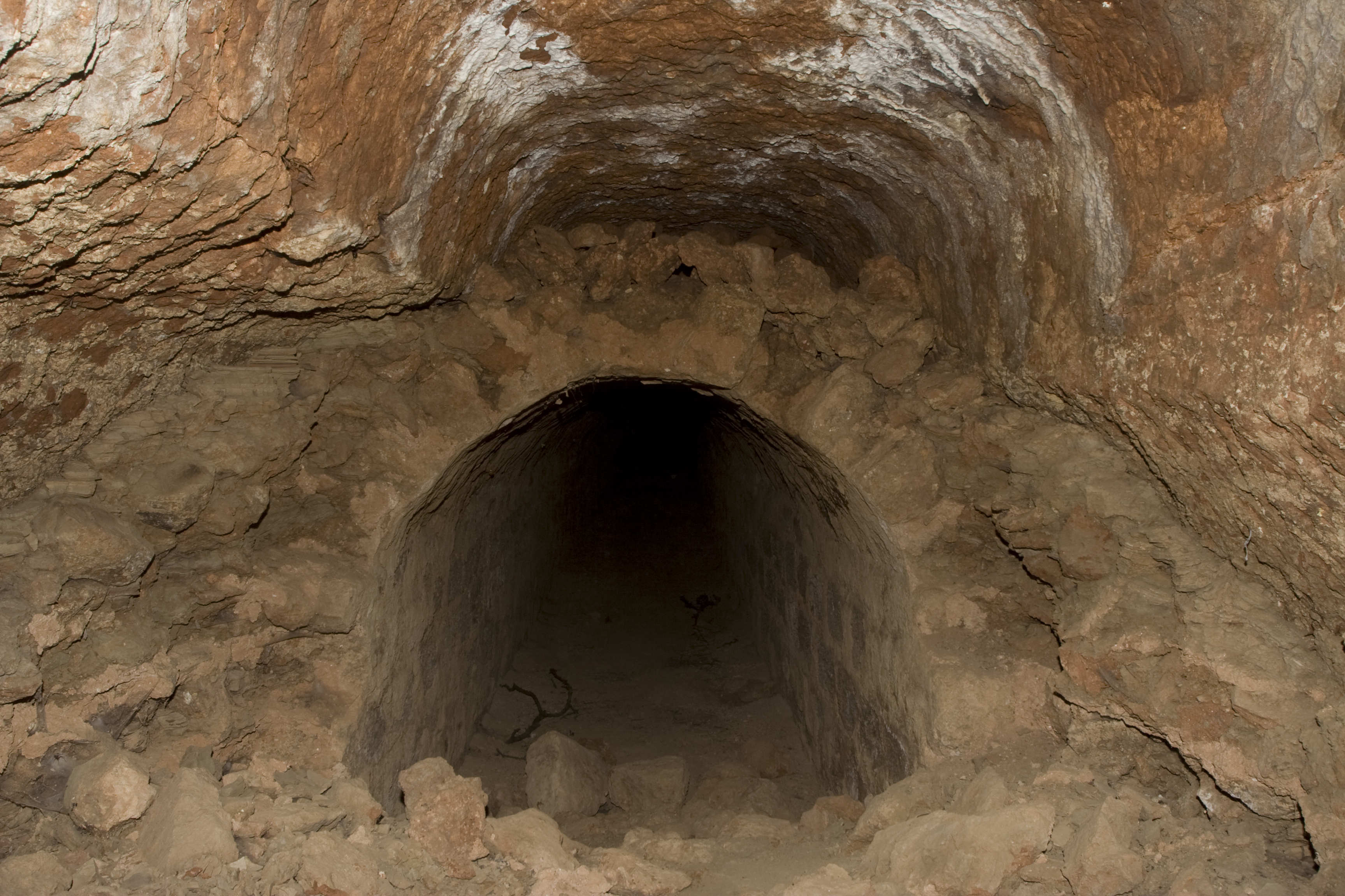
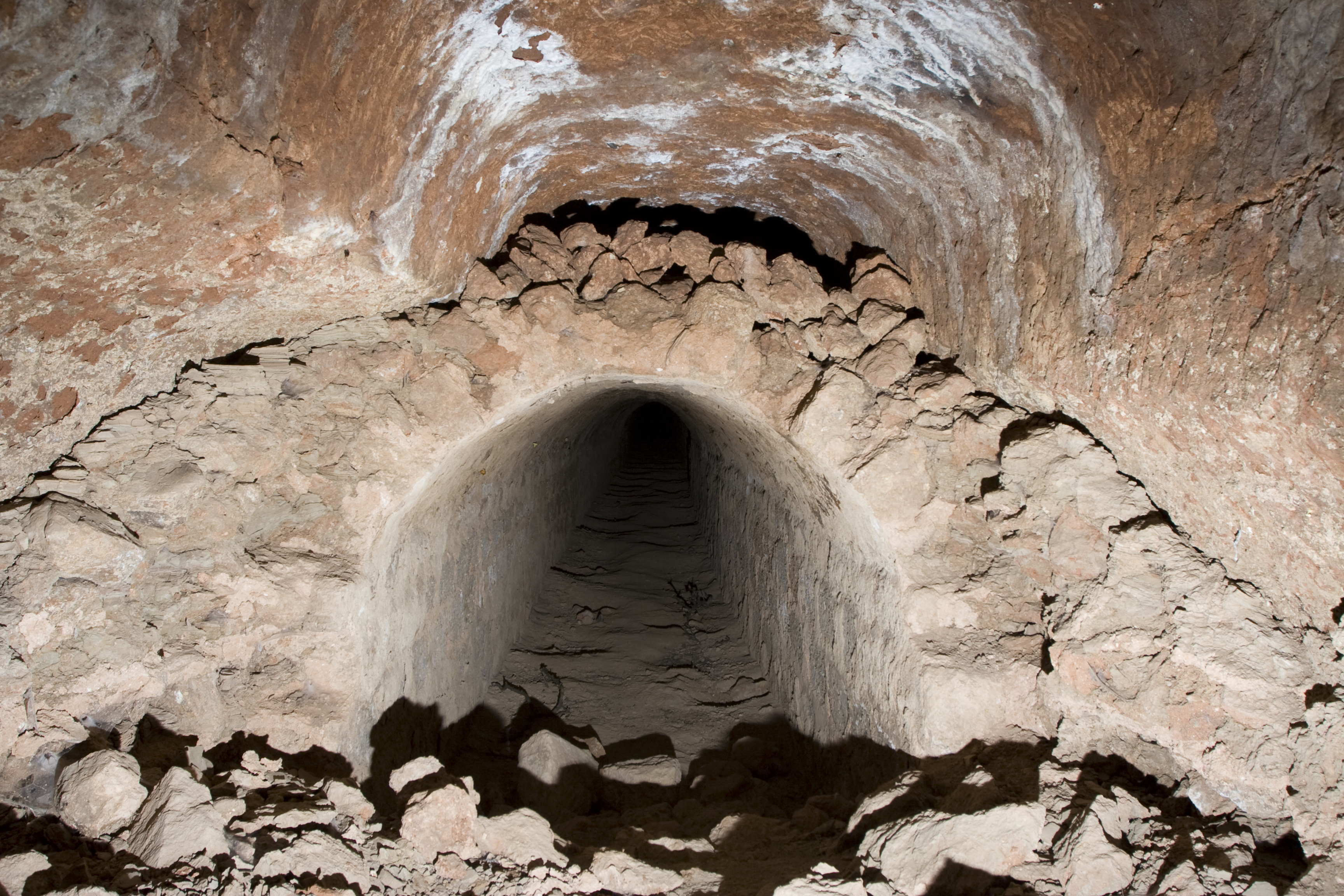
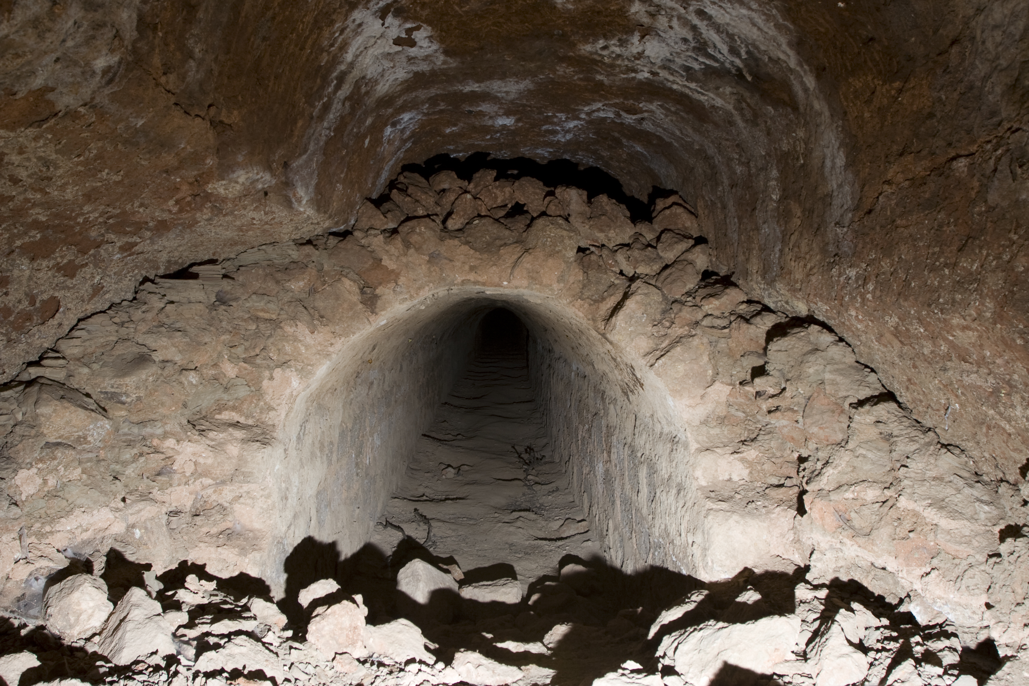
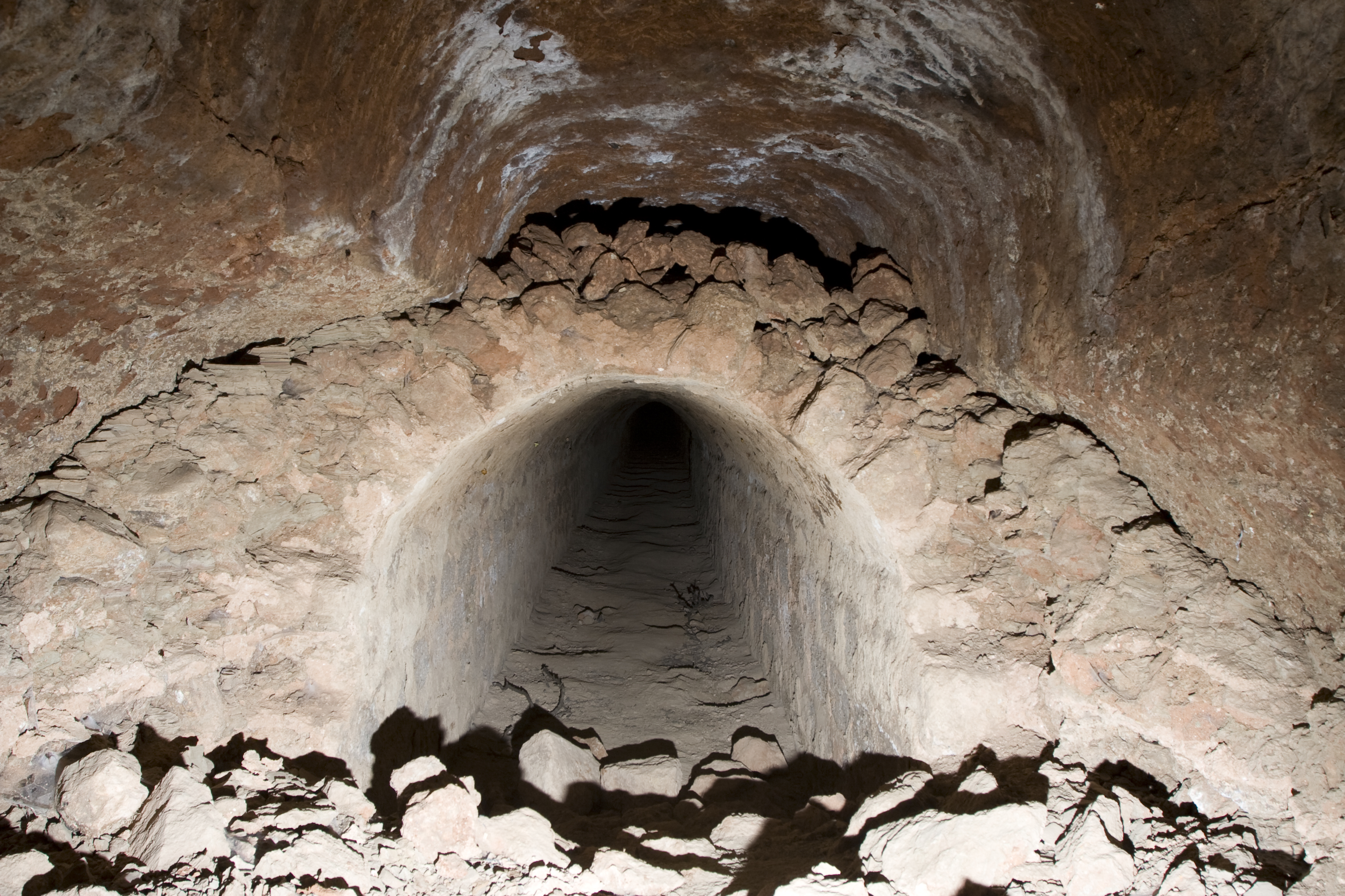
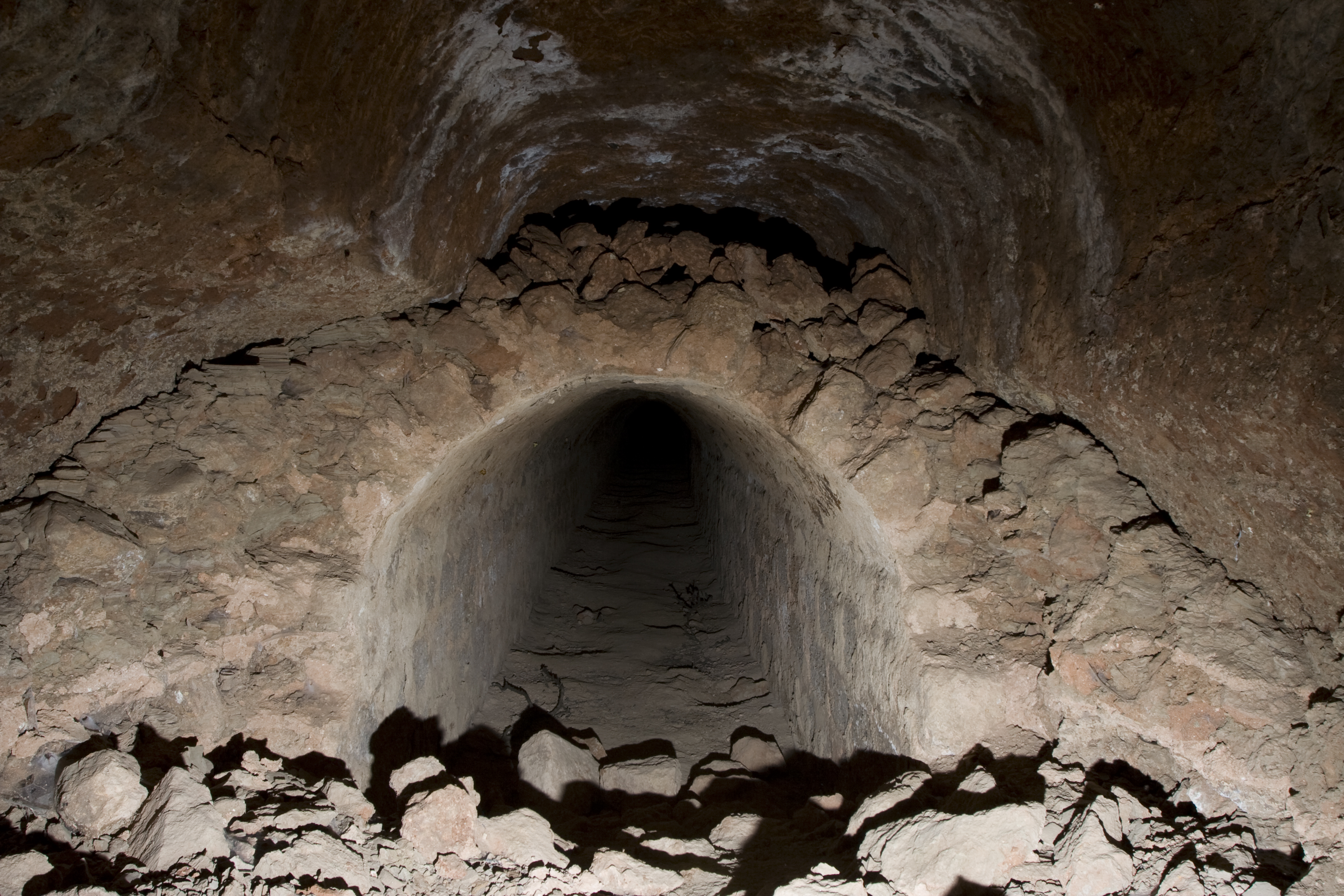
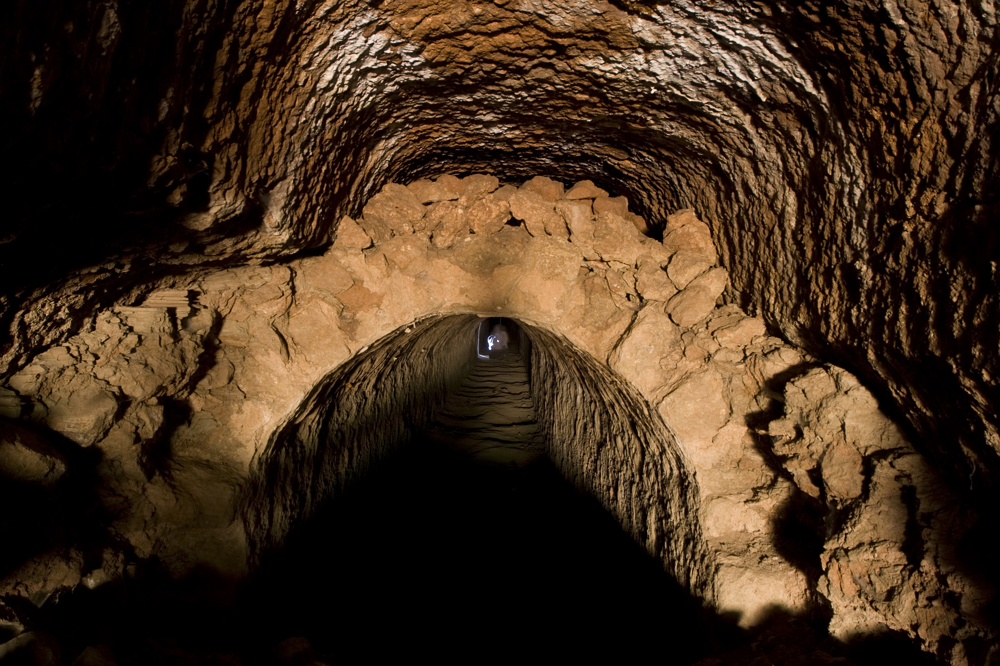
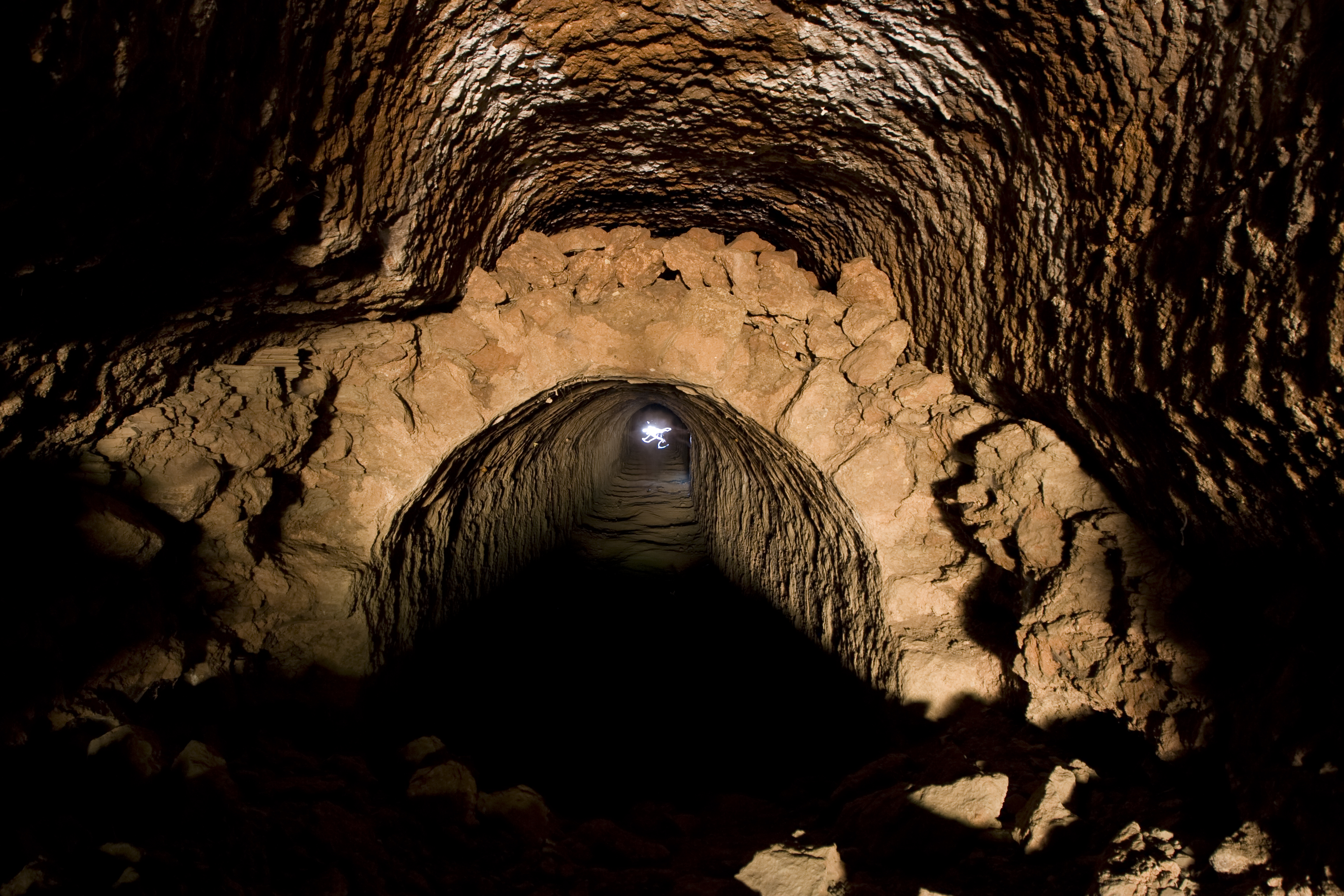
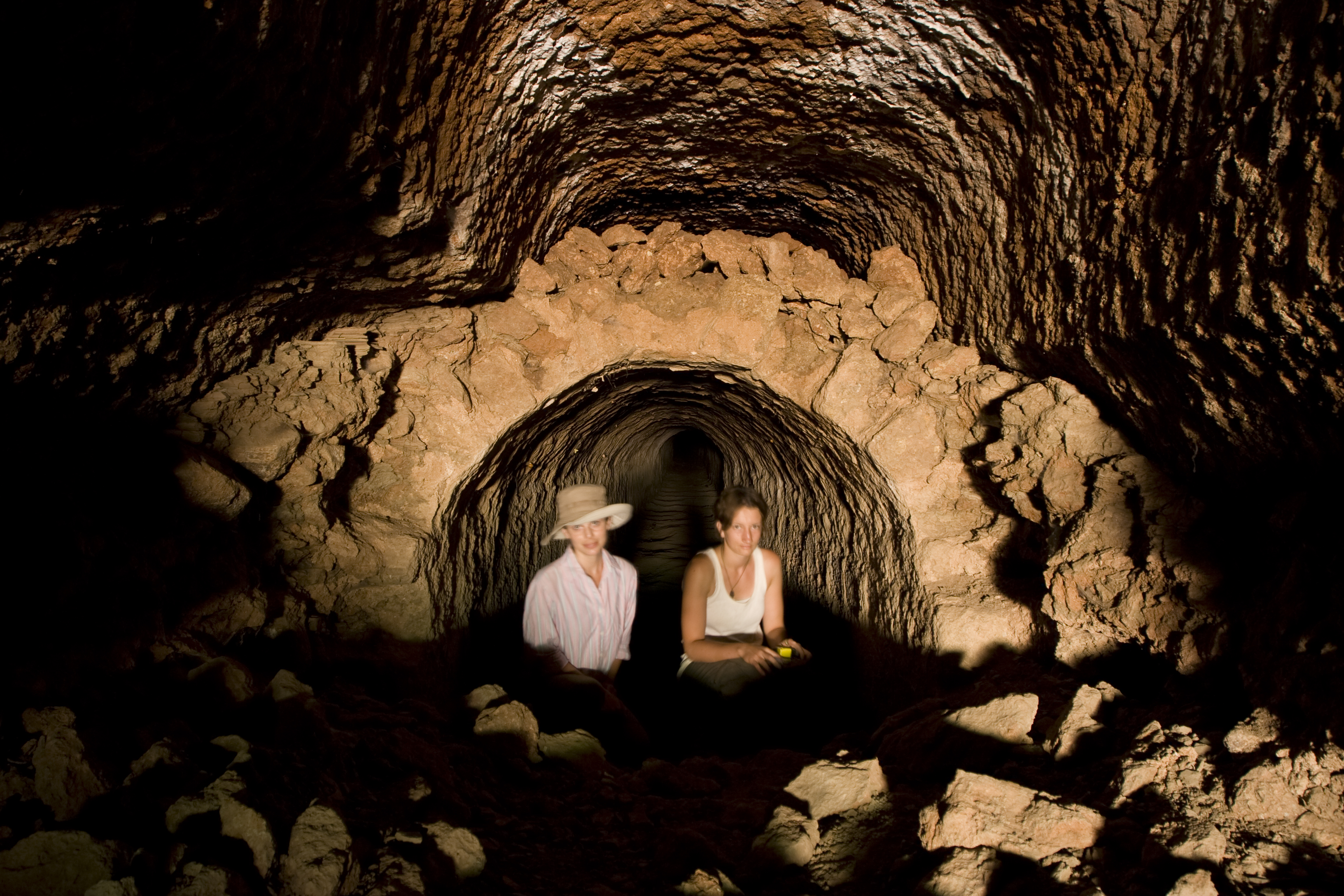
Local Name: Yeşilköy Local Informant: Osman Yusmak Local Information: The entrance to the tunnel and conduit is located on the northeast bank of a dry dere feeding into the Harami Deresi from the west, one of the many small tributaries of the Yenidere Çayı. The remains are located 0.8 km southeast of the modern village of Yeşilköy and 15.2 km southeast of Aphrodisias. Latitude: 37.36.43.391 Longitude: 28.50.45.947 Elevation: 846.8m Axis: 40 Dimensions: p. internal W (conduit): 1.44 m ** p. L (conduit): 150 m ** p. H (tunnel): 2.55 m ** p. W (tunnel): 2.3 m Description: Preservation: The tunnel and conduit are preserved to a length of more than 150 m within a hillside between two bridges. They can be entered from the downstream side of the aqueduct, within the northeast bank of a shallow, dry dere. Along the first few meters of the tunnel within the entry point, the conduit has collapsed. ** Construction: The conduit is a vaulted masonry structure built of regular blocks of the local sandy conglomerate rock. The conduit blocks are 0.30–0.40 m long and 0.20 m high. The smaller blocks of the leveling course at the spring point of the vault are 0.30 m long and 0.13 m high. The lime mortar is beige-pink with densely packed stone inclusions smaller than 0.01 m. ** Description: The interior of the conduit is 1.44 m wide and at least 1.9 m high. At 86 m from the entry point, the direction of the tunnel bends slightly to the north, and approximately 5 m later returns to its original orientation. Regular putlog holes in the segment downstream from the bend are placed at alternating intervals of 0.35 m and 1.40 m, while those in the segment upstream from the bend have intervals of 0.75 ** m and 1.30 m. The tunnel is preserved to a height of 2.55 m and a width of 2.3 m. The space between the vaulted conduit and the tunnel, excavated from the rock with a head-and-shoulders profile, is filled with mud and rubble packing.
Types
Other
Metadata
Show full item recordCollections
Remediation of Harmful Language
The University of Michigan Library aims to describe library materials in a way that respects the people and communities who create, use, and are represented in our collections. Report harmful or offensive language in catalog records, finding aids, or elsewhere in our collections anonymously through our metadata feedback form. More information at Remediation of Harmful Language.
Accessibility
If you are unable to use this file in its current format, please select the Contact Us link and we can modify it to make it more accessible to you.