 Access by request
E015: Timeles Aqueduct, Kepiz Çayı Bridge
Aphrodisias Regional Survey
2007-05-24
View/


Citation
Page reference: Christopher Ratté and Peter D. De Staebler (eds.). Aphrodisias V. The Aphrodisias Regional Survey (Verlag Philipp von Zabern: Darmstadt/Mainz, 2012), 256, 298 - Book catalogue no.: Aqueducts cat. 6. <http://hdl.handle.net/2027.42/92946>
Other Identifiers
E015
Subjects
Waterworks 4: Roman
Description
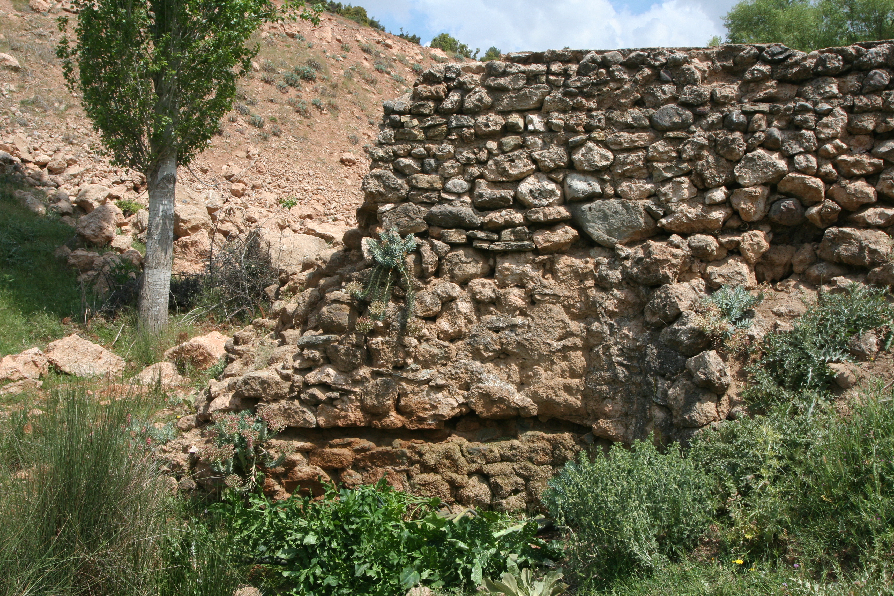
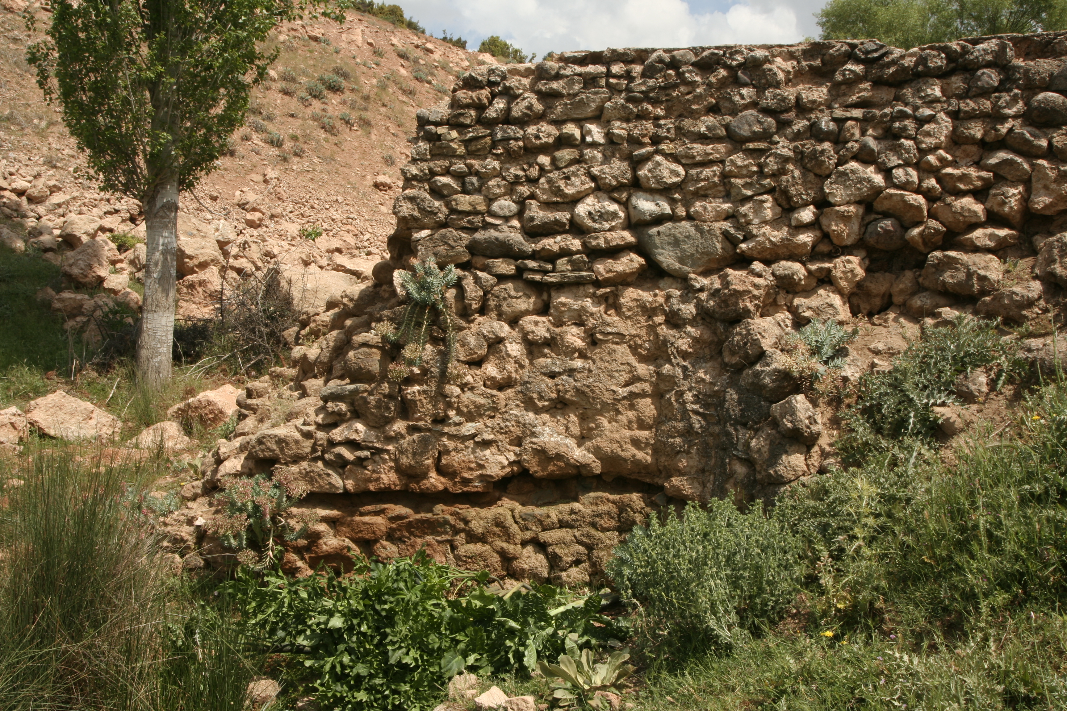
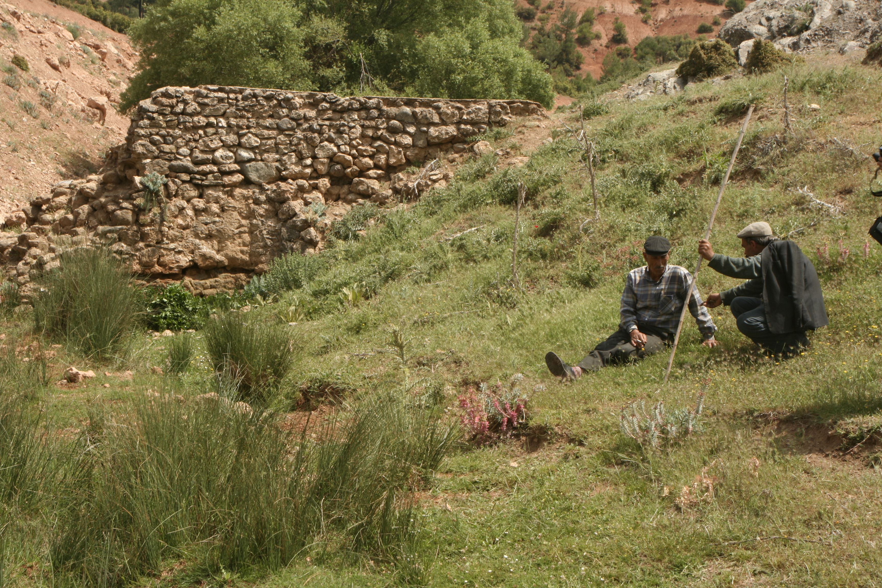
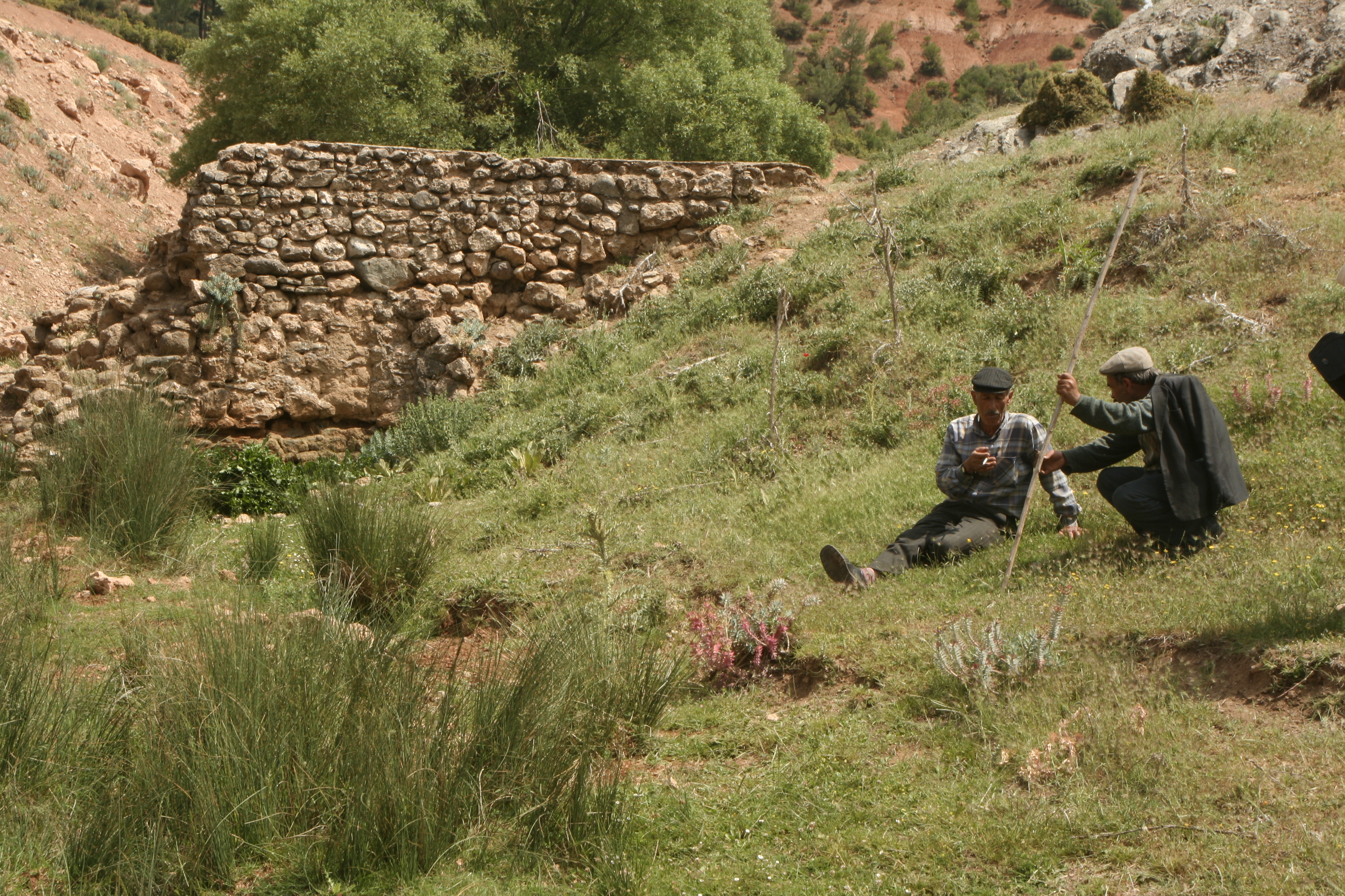
Local Name: Yenidere Cayı, Yeşilköy Local Informant: Osman Güzel, Nuri Fiskinli, Mehmet Köken Local Information: The bridge crosses a small dere that feeds into the Kepiz Çayı, a tributary of the Yenidere Çayı, from the north. It is located 1 km southwest of the modern village of Güzelköy in the Tavas plain, a total distance of 18 km southeast of Aphrodisias. Latitude: 37.36.31.4 Longitude: 28.53.35.2 Elevation: 845m Dimensions: Bridge: p. W: 3.20 m, p. L: 9 m, projected original arch span: 2.7 m; ** Arch W: 2.60m ** Top of Wall to Dere: 3.10m ** Modern Channel W: 1.70m ** Modern Channel D: 0.80m ** Modern Wall Th: 0.50m Description: Preservation: Both piers of the bridge remain standing, but only the lower nine courses can be securely identified as part of the original Roman aqueduct bridge. The top courses have been refashioned into an open conduit coated in white waterproofing mortar, perhaps in association with a series of Ottoman mills that used to be in service in the area. ** Construction: The bridge is constructed of mortared rubble faced with petit appareil masonry of roughly worked blocks of schist and quartz about 0.20–0.30 m long and 0.15–0.20 m high, leveled with chinking stones and bonded with a beige lime mortar with stone inclusions smaller than 0.02 m. ** Description: The bridge survives to a height of 3 m and is 3.20 m wide. The total length of the bridge is about 9 m, and the distance between the piers is 2.7 m. The open conduit is 1.5–1.7 m wide and 0.8 m deep. Additional masonry, possibly for buttressing the bridge, is joined to the downstream (south) side of the piers.
Types
Other
Metadata
Show full item recordCollections
Remediation of Harmful Language
The University of Michigan Library aims to describe library materials in a way that respects the people and communities who create, use, and are represented in our collections. Report harmful or offensive language in catalog records, finding aids, or elsewhere in our collections anonymously through our metadata feedback form. More information at Remediation of Harmful Language.
Accessibility
If you are unable to use this file in its current format, please select the Contact Us link and we can modify it to make it more accessible to you.