 Access by request
E034: Timeles Aqueduct, Ciğlek Deresi Conduit
Aphrodisias Regional Survey
2007-06-17
View/


Citation
Page reference: Christopher Ratté and Peter D. De Staebler (eds.). Aphrodisias V. The Aphrodisias Regional Survey (Verlag Philipp von Zabern: Darmstadt/Mainz, 2012), 259, 261, 263, 299, 300 - Book catalogue no.: Aqueducts cat. 6. <http://hdl.handle.net/2027.42/92966>
Other Identifiers
E034
Subjects
Waterworks 4: Roman
Description
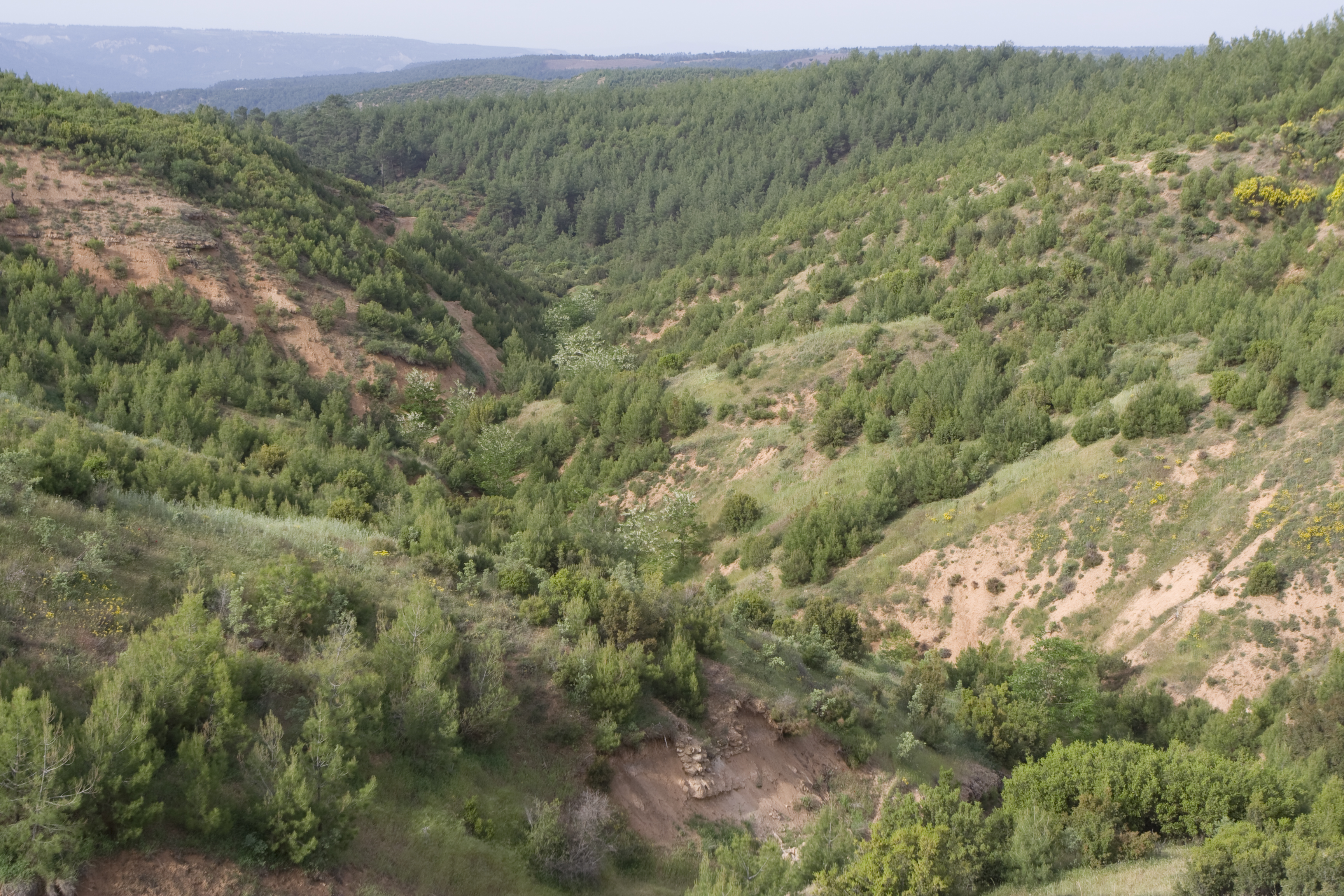
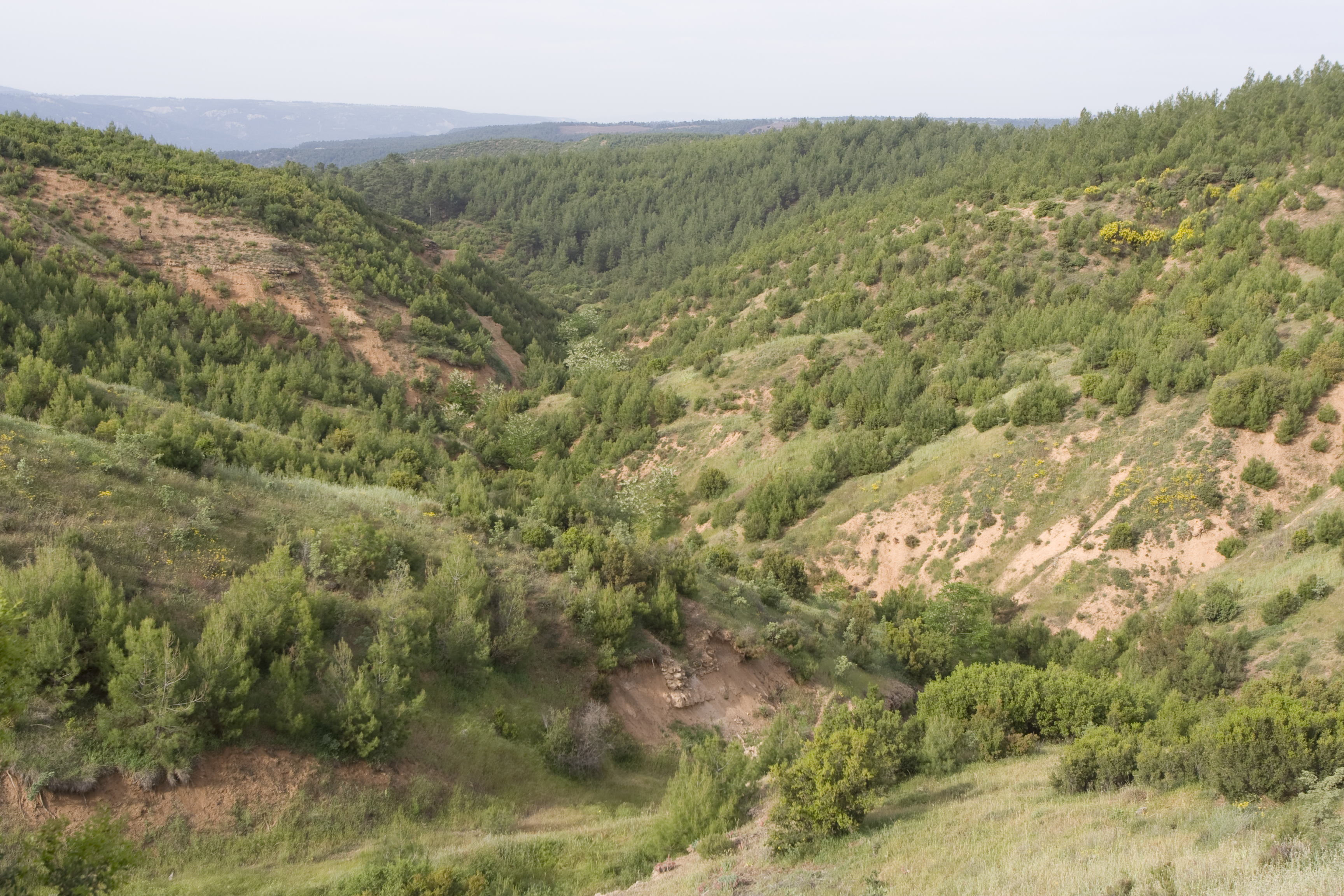
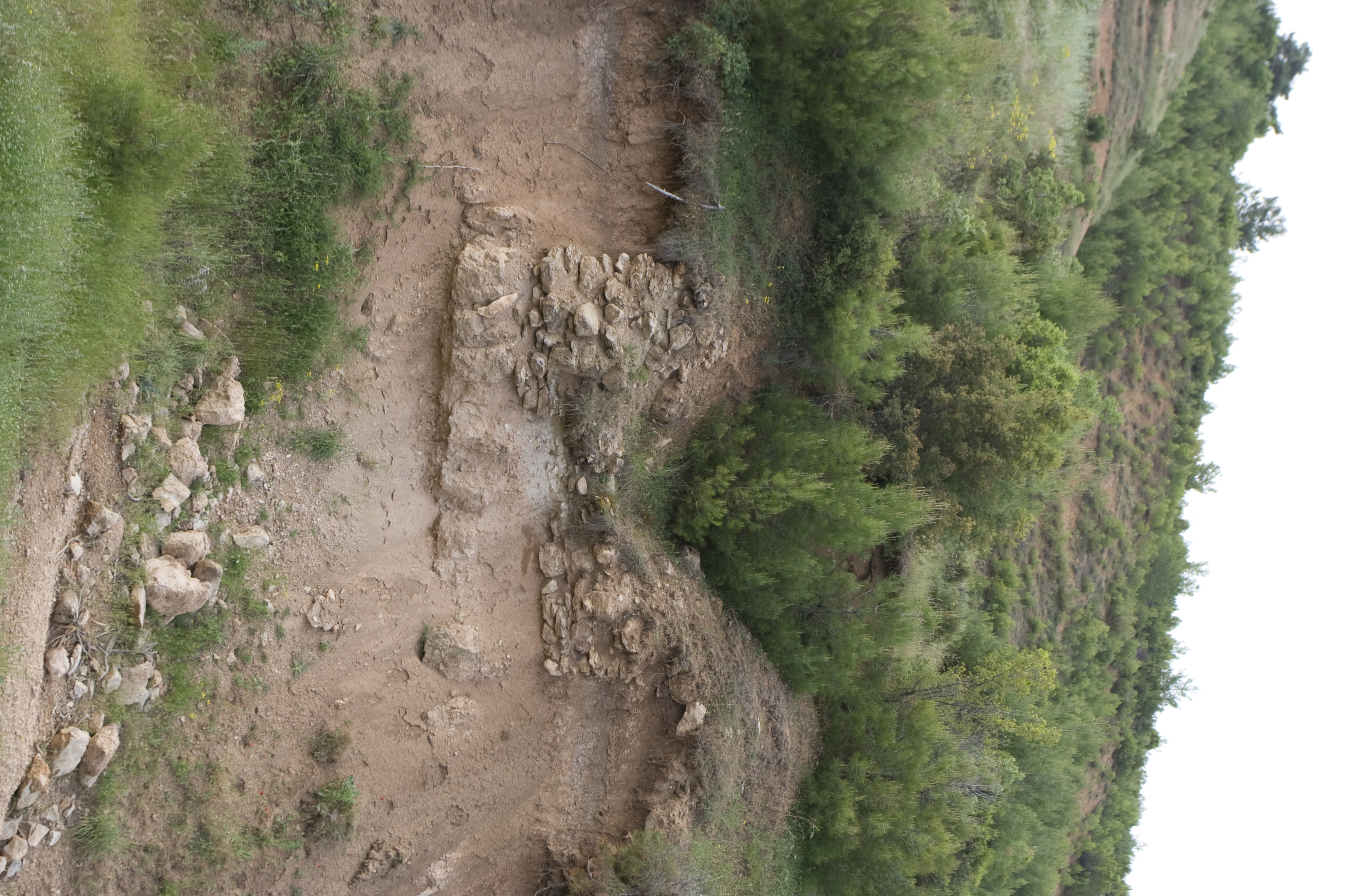
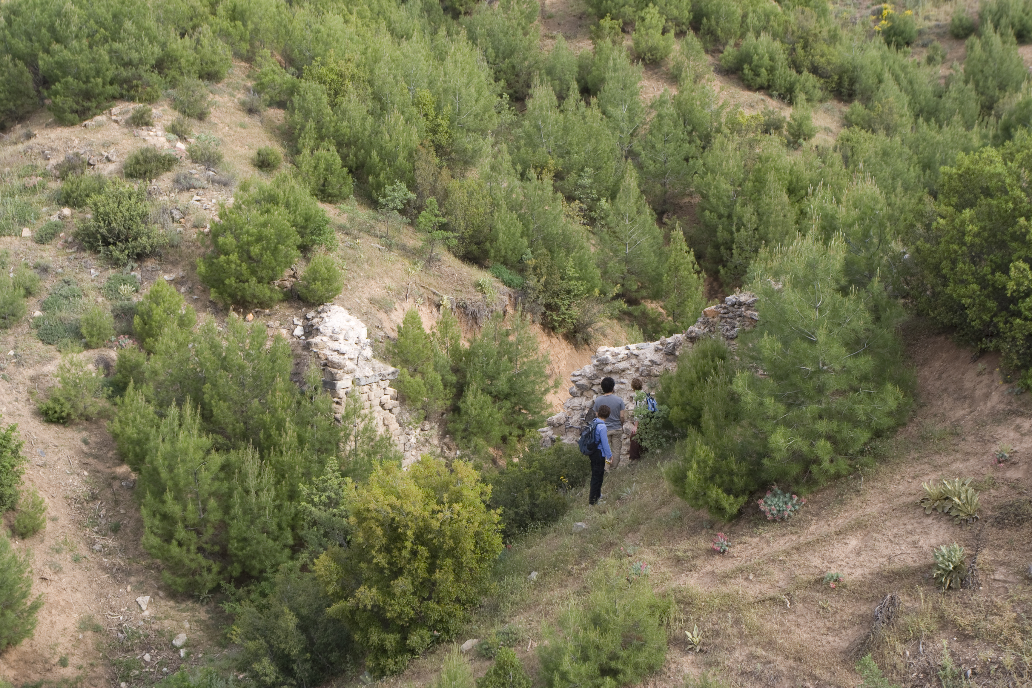
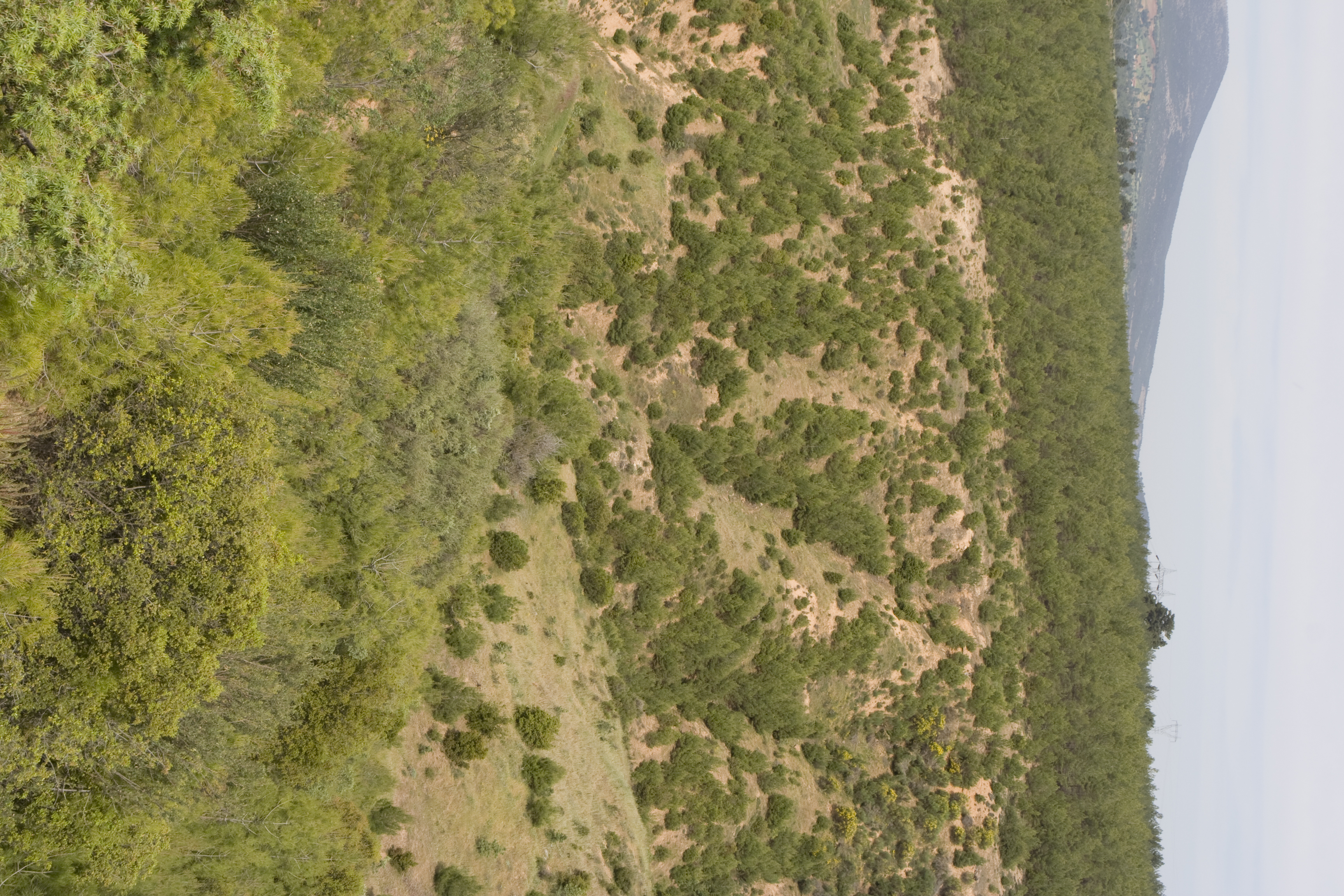
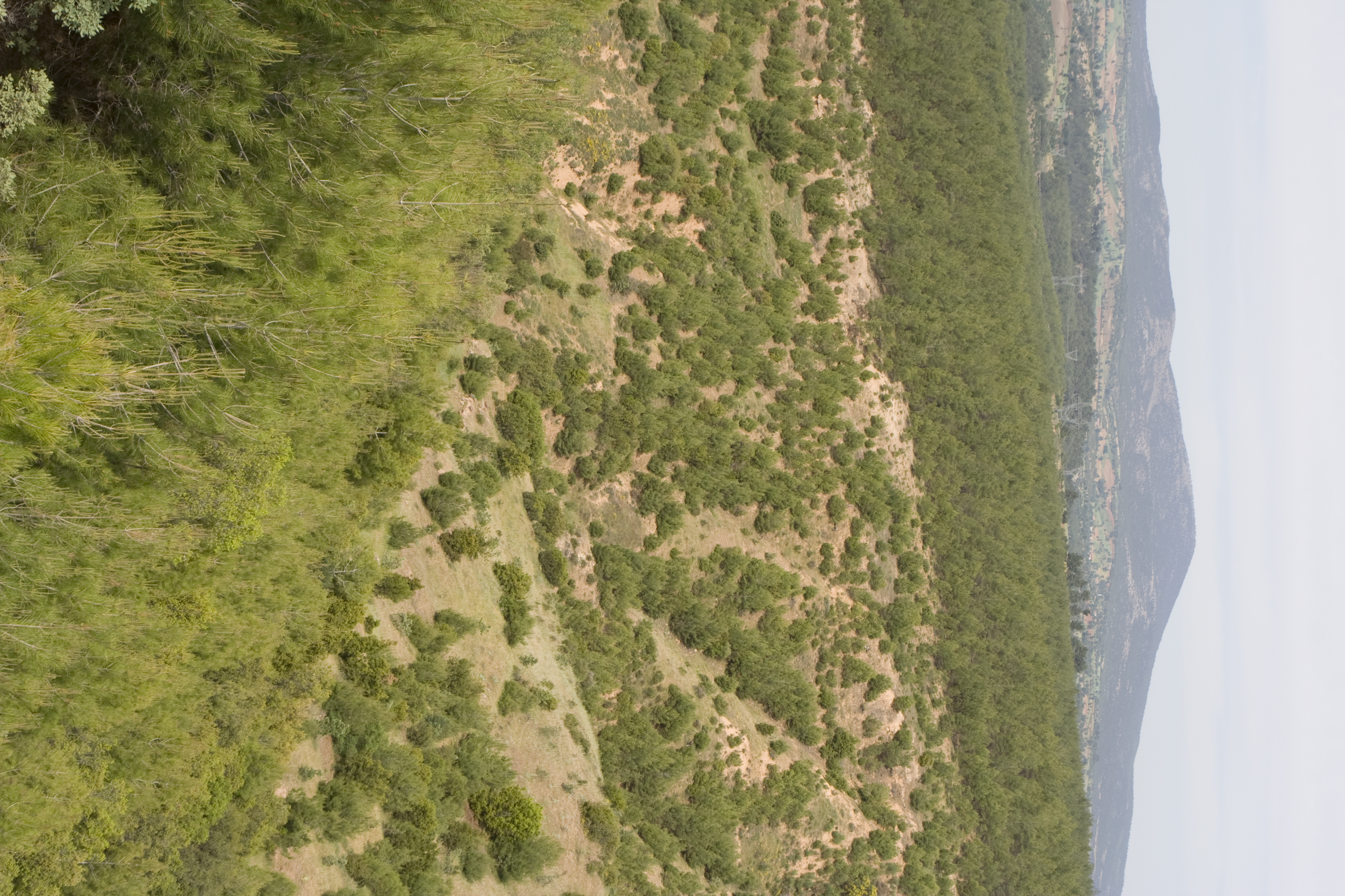
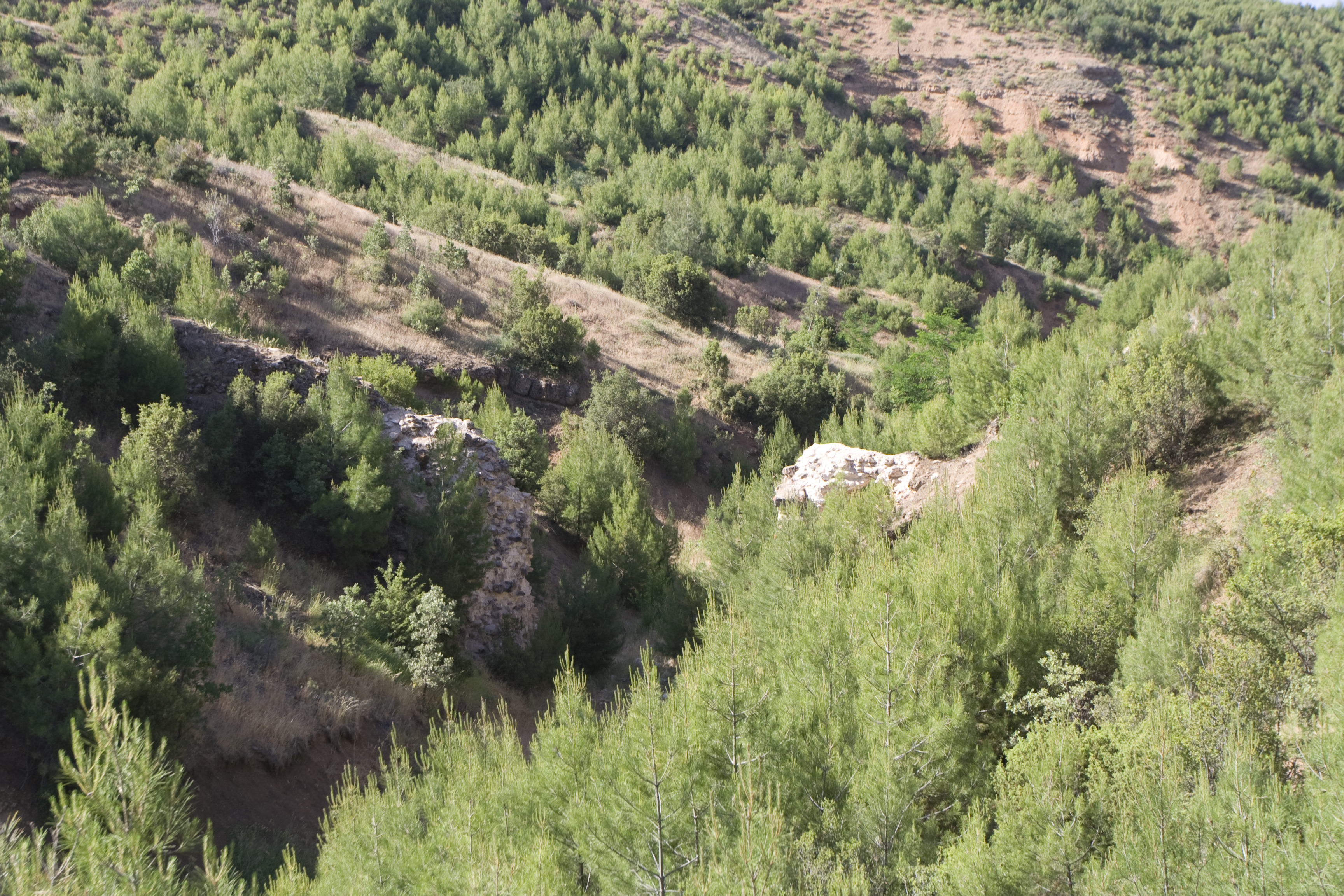
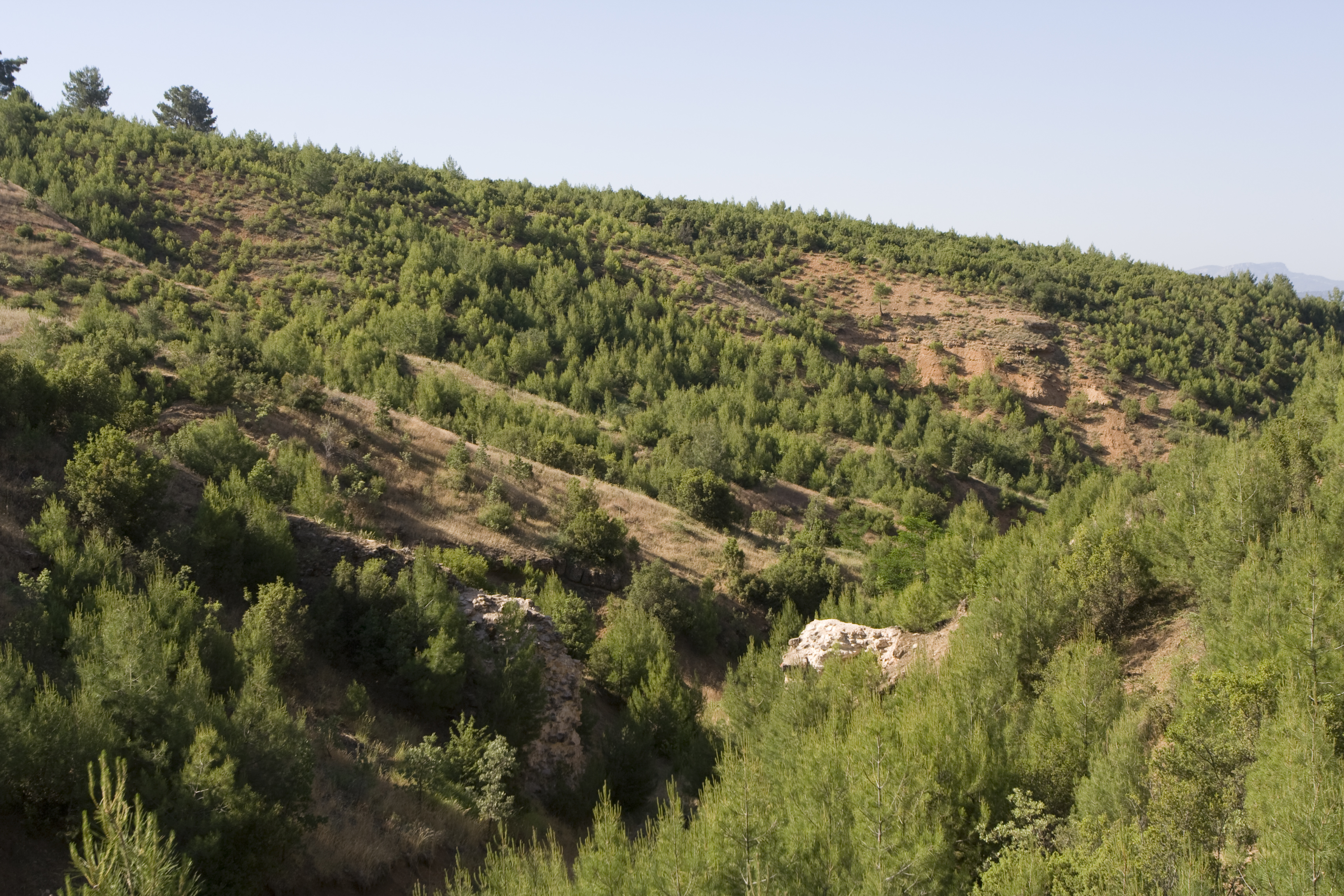
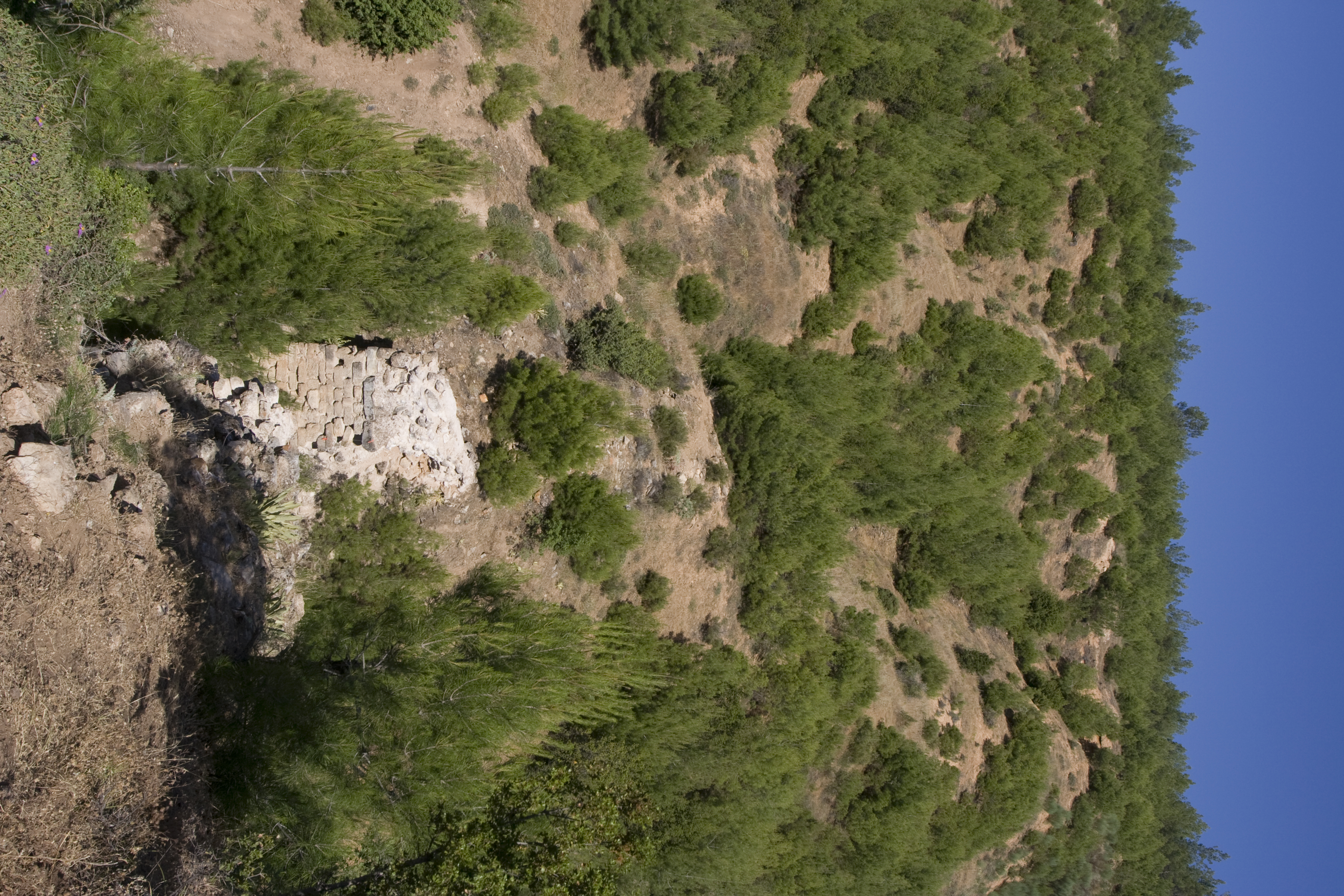
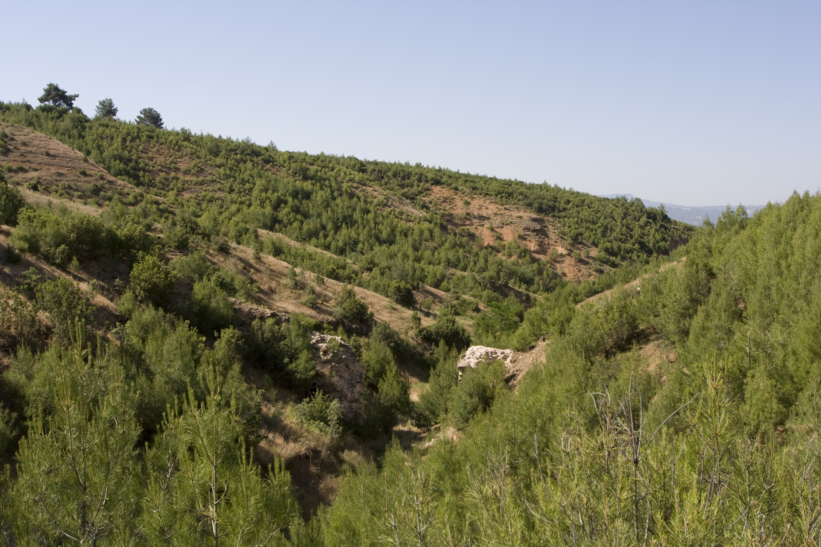
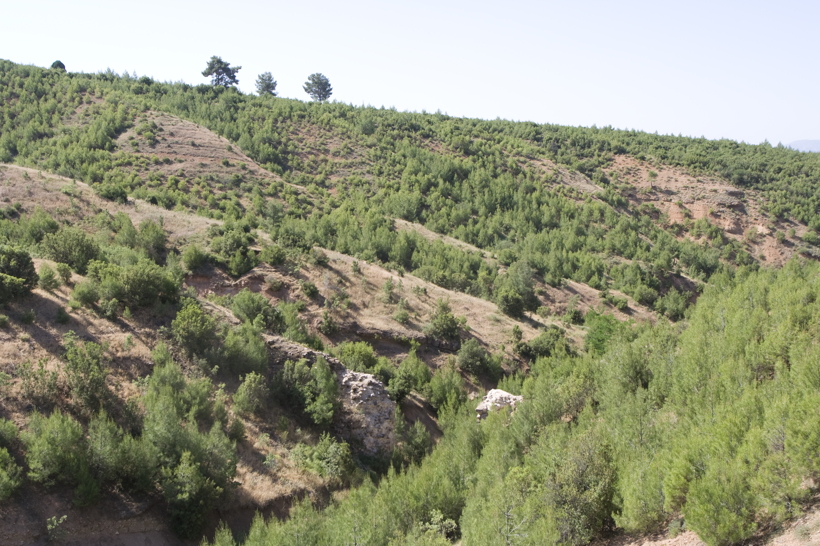
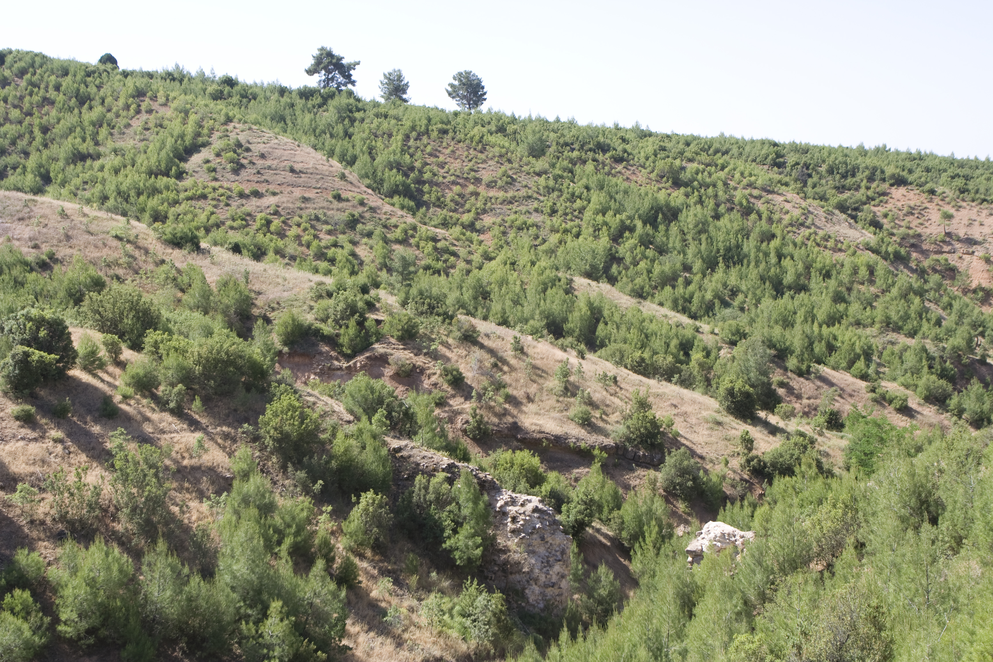
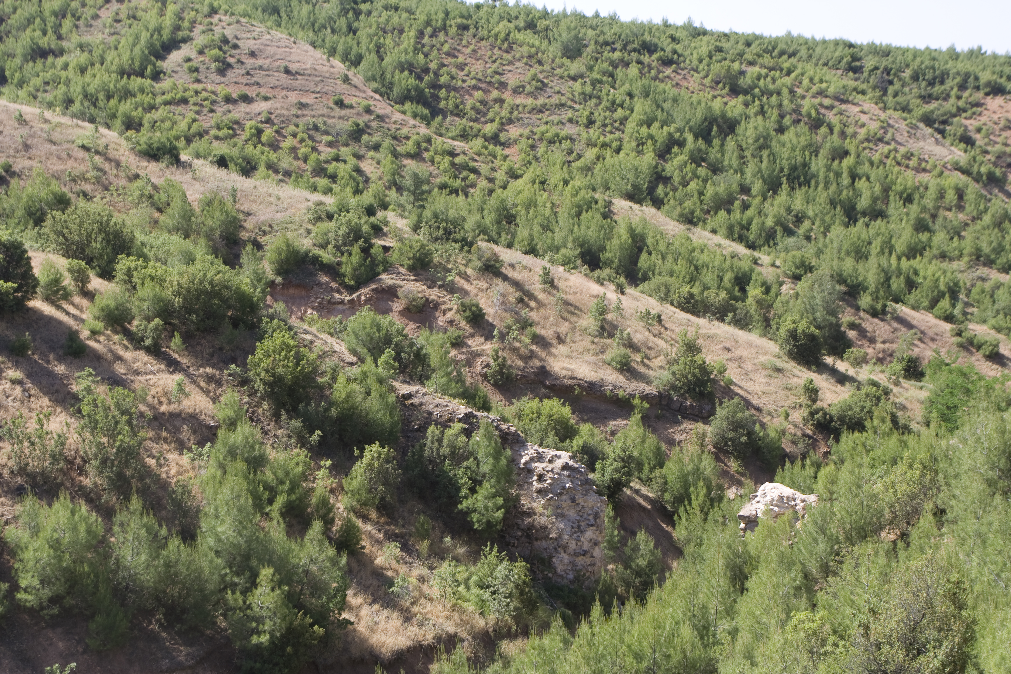
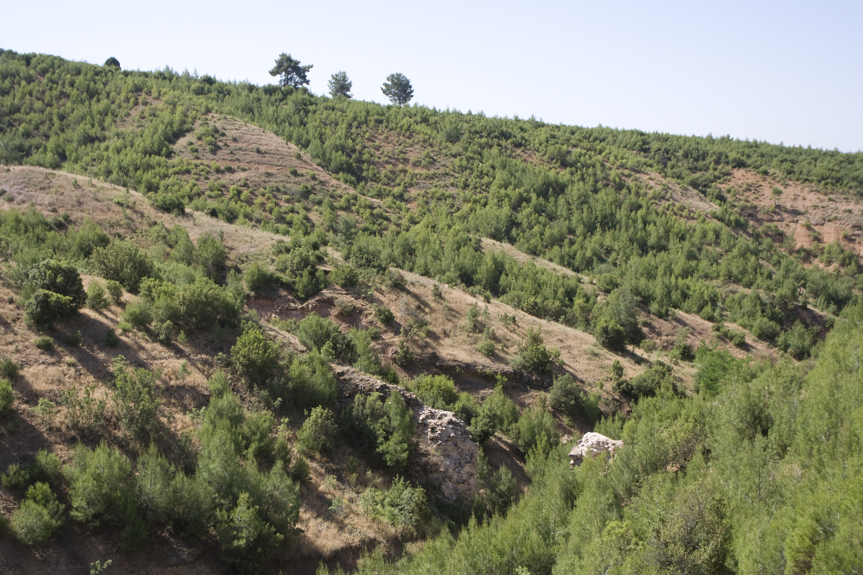
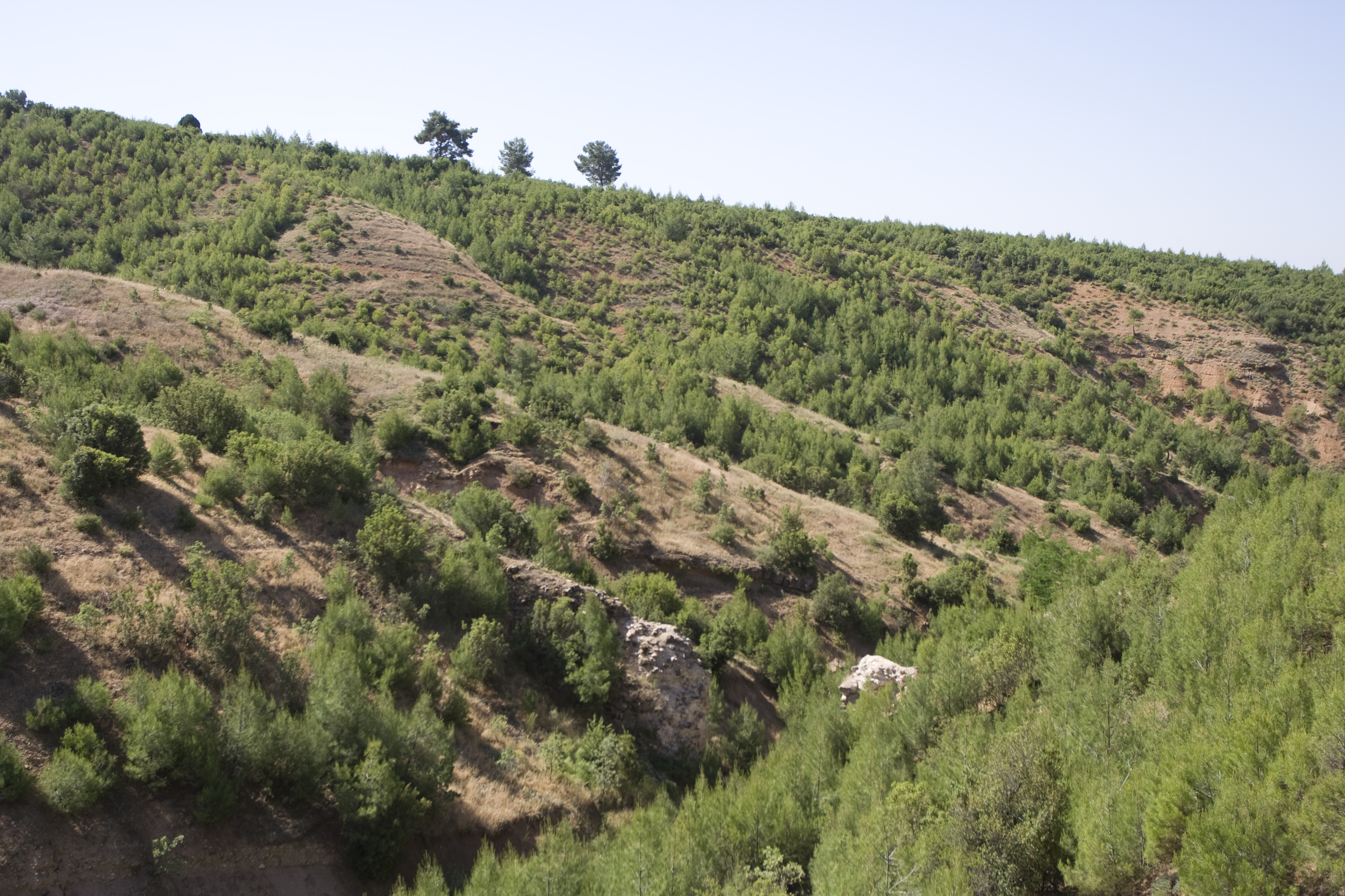
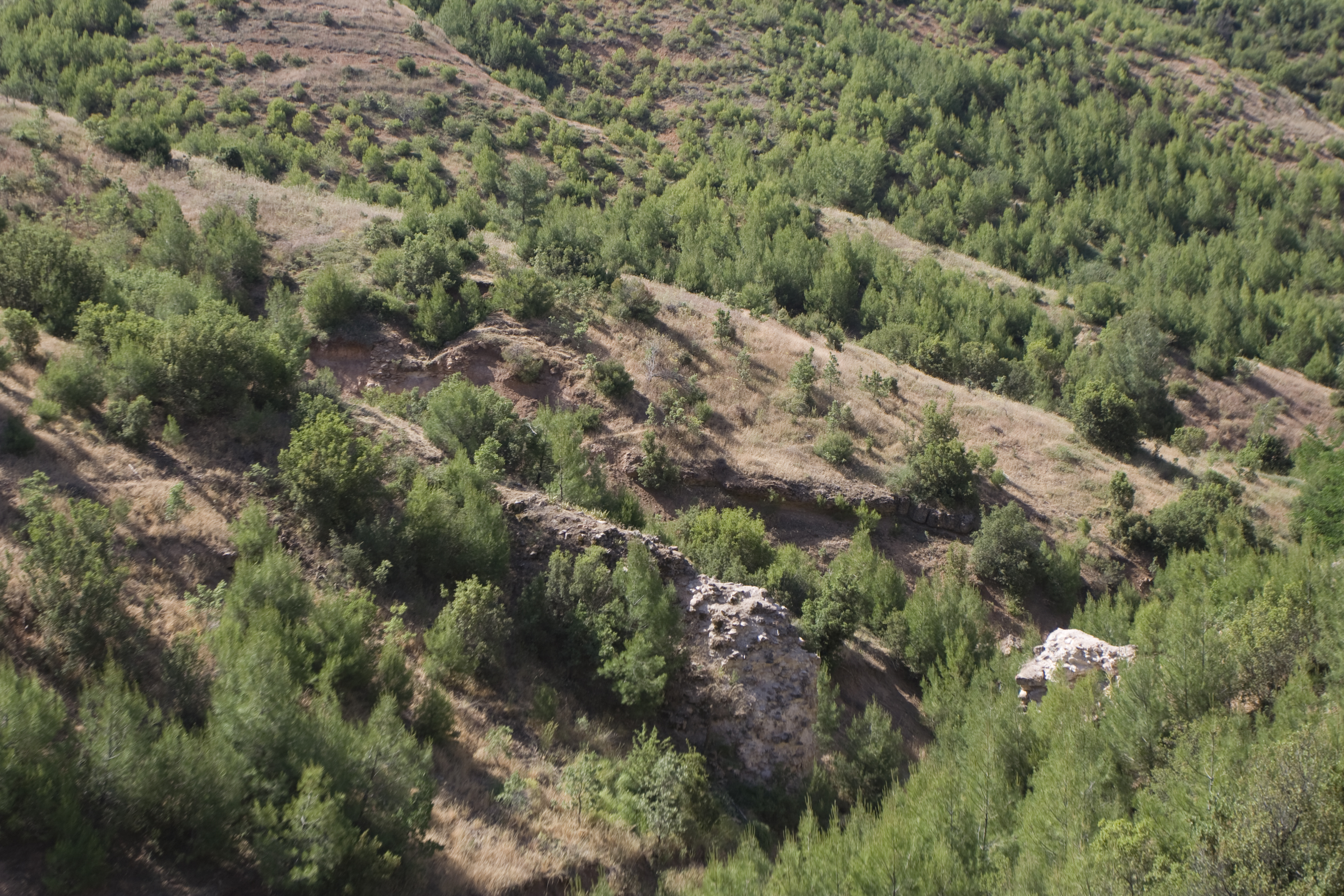
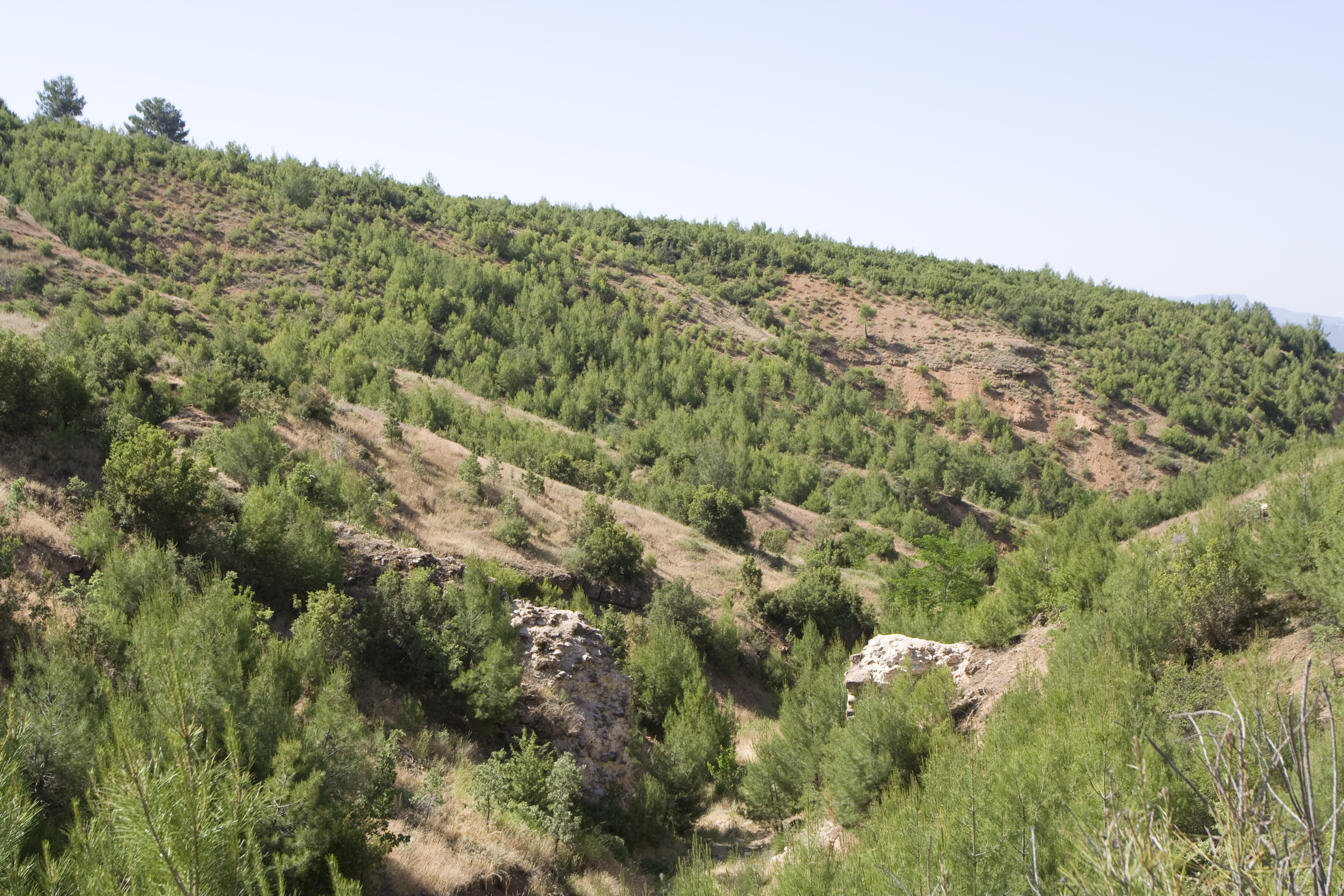
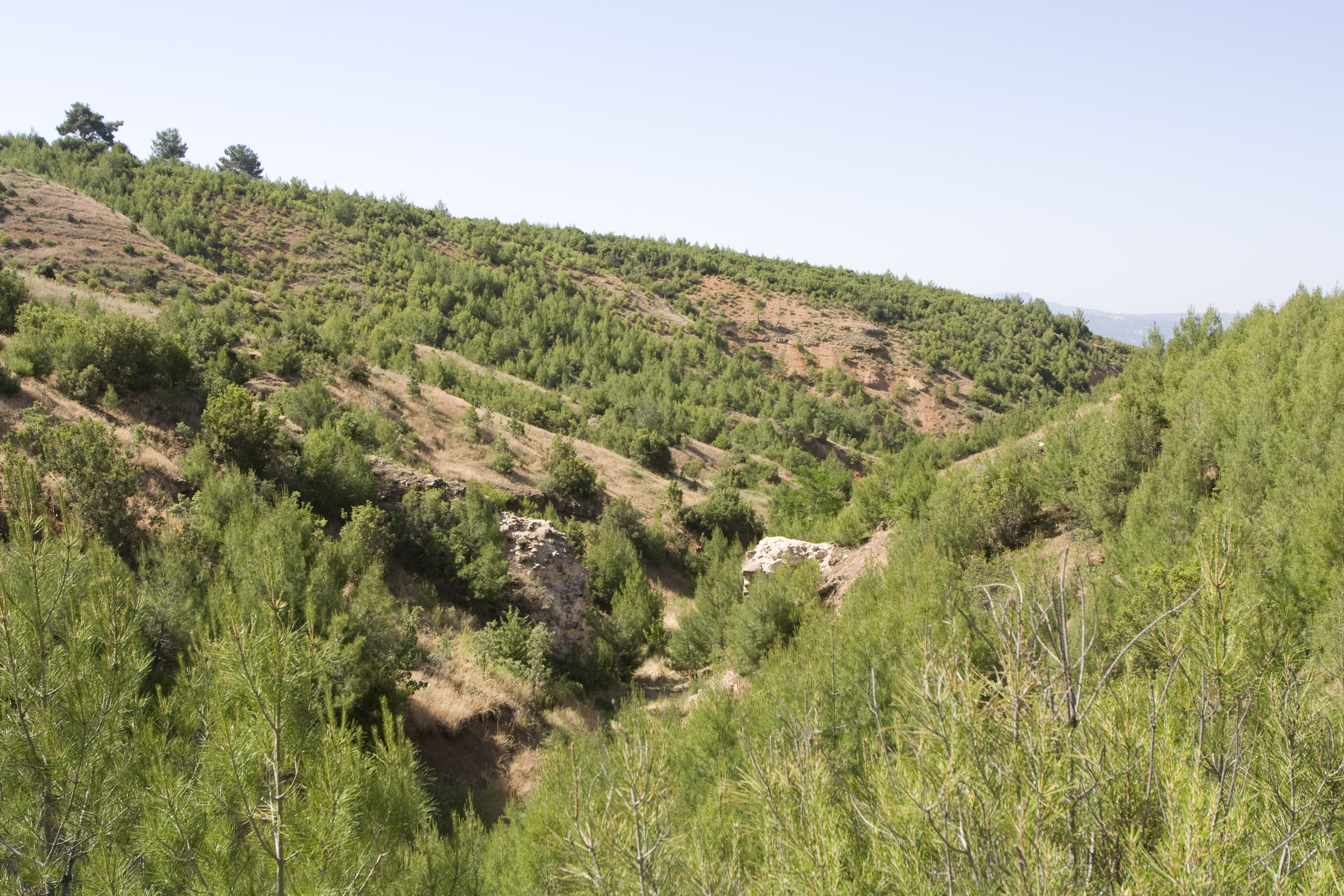
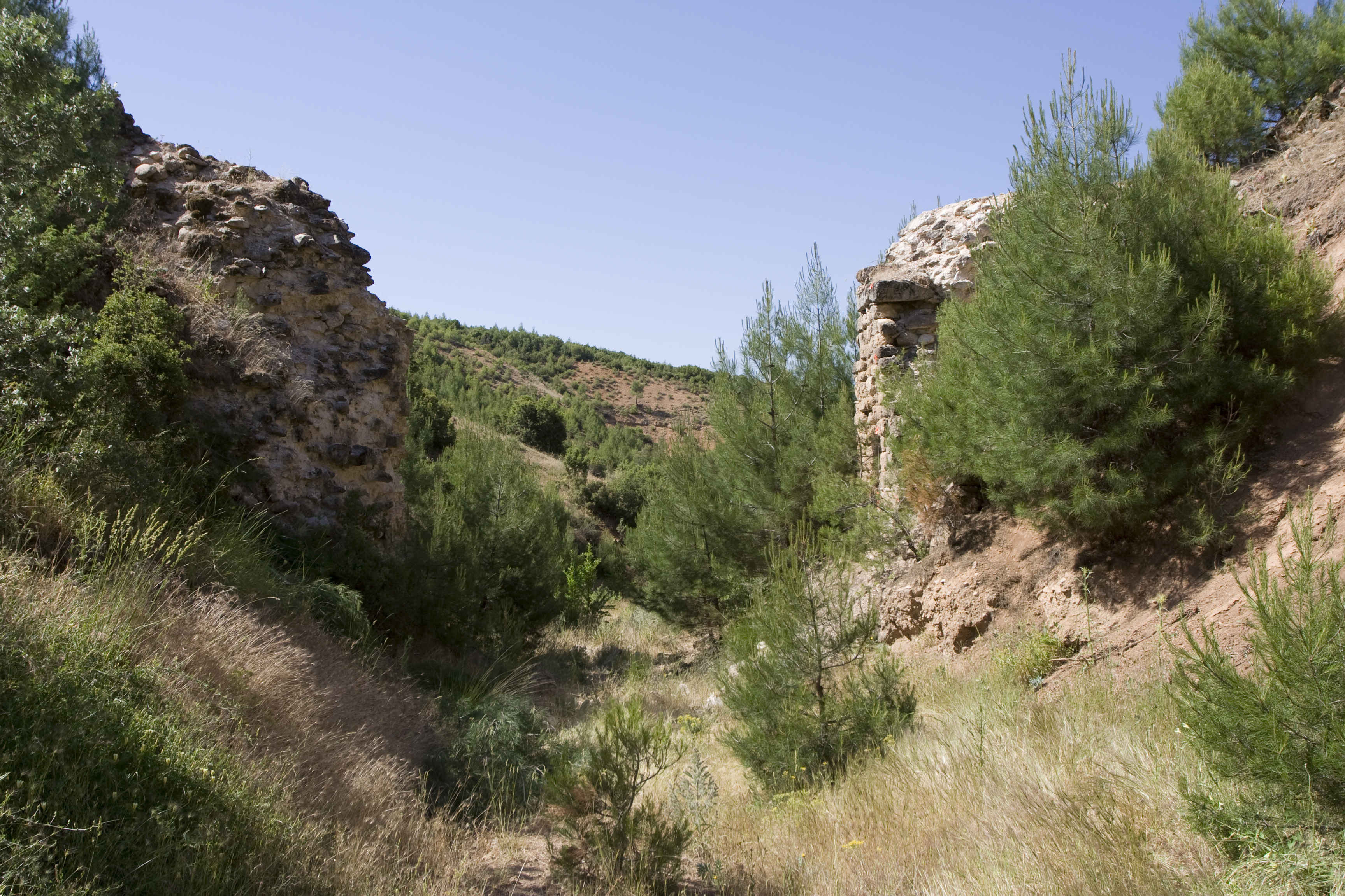
Local Name: Ciğlek Deresi Local Information: The bridge, conduit, and tunnel are located on a small gully branching off the east side of the Ciğlek Deresi, a dry dere that runs north–south and connects to the Kepiz Çayı to the south. The Ciğlek Deresi forms the western limit of the Yahşiler plateau. The remains are located 4 km southwest of the modern village of Yahşiler, 2 km southeast of the modern village of Yeşilköy, and 16 km southeast of Aphrodisias. Latitude: 37.36.32.207 Longitude: 28.51.40.653 Elevation: 849.8m Dimensions: Channel cross-section width: 1.50 m. ** Channel sidewalls: 1.20 m. and 1.18 m. Description: The extant remains of the hypothetical aqueduct bridge include a section of the channel preserved in the hillside, with corresponding channel sidewalls across a small gully that must have been spanned by the bridge. The rubble walls are bonded with white lime-based mortar with small stone inclusions and rest upon a foundation layer of smaller stones that is 0.30-.35 thick. The channel floor is laid on a mortar bedding 0.10 m. thick with few stones, topped by a 0.05-m. thick layer of sinter. Though the channel walls appear to have no cement lining, such a layer for waterproofing does line the walls of the subterranean channel nearby. Inside this vaulted channel, regularly spaced putlog holes and a ribbed cement lining are visible along the walls.
Types
Other
Metadata
Show full item recordCollections
Remediation of Harmful Language
The University of Michigan Library aims to describe library materials in a way that respects the people and communities who create, use, and are represented in our collections. Report harmful or offensive language in catalog records, finding aids, or elsewhere in our collections anonymously through our metadata feedback form. More information at Remediation of Harmful Language.
Accessibility
If you are unable to use this file in its current format, please select the Contact Us link and we can modify it to make it more accessible to you.